The Way of St. James and Rome, traced as close as possible to the Domitian Way (Via Domitia), linking Rome to Spain, allows you to discover very beautiful sites and monuments. This great artery has thus seen pilgrims crossing paths, from the first centuries of our era and until the recent past, going to Rome or to Santiago de Compostela.
Stage Peipin - Peyruis (20 km - 460m D+ / 430m D-) : An easy stage taking an old Royal road from the Châteauneuf Val Saint Donat exit before reaching the valley where the old Saint Donat chapel and the current one are locateA variant continues along the Royal Route before joining the D101 at the entrance to Peyruis.
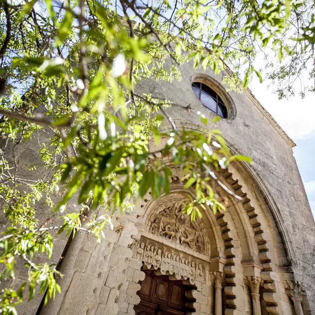
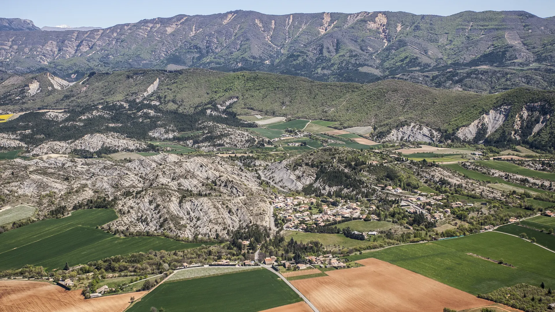
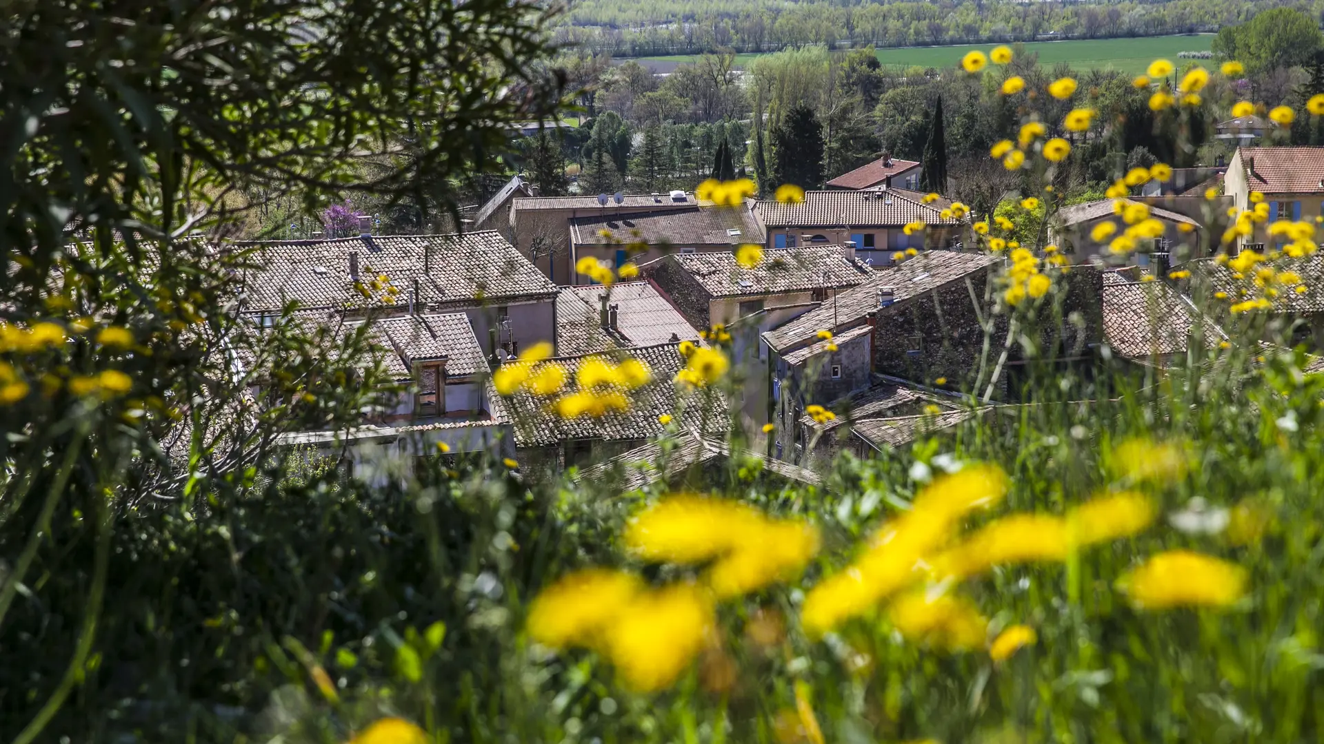
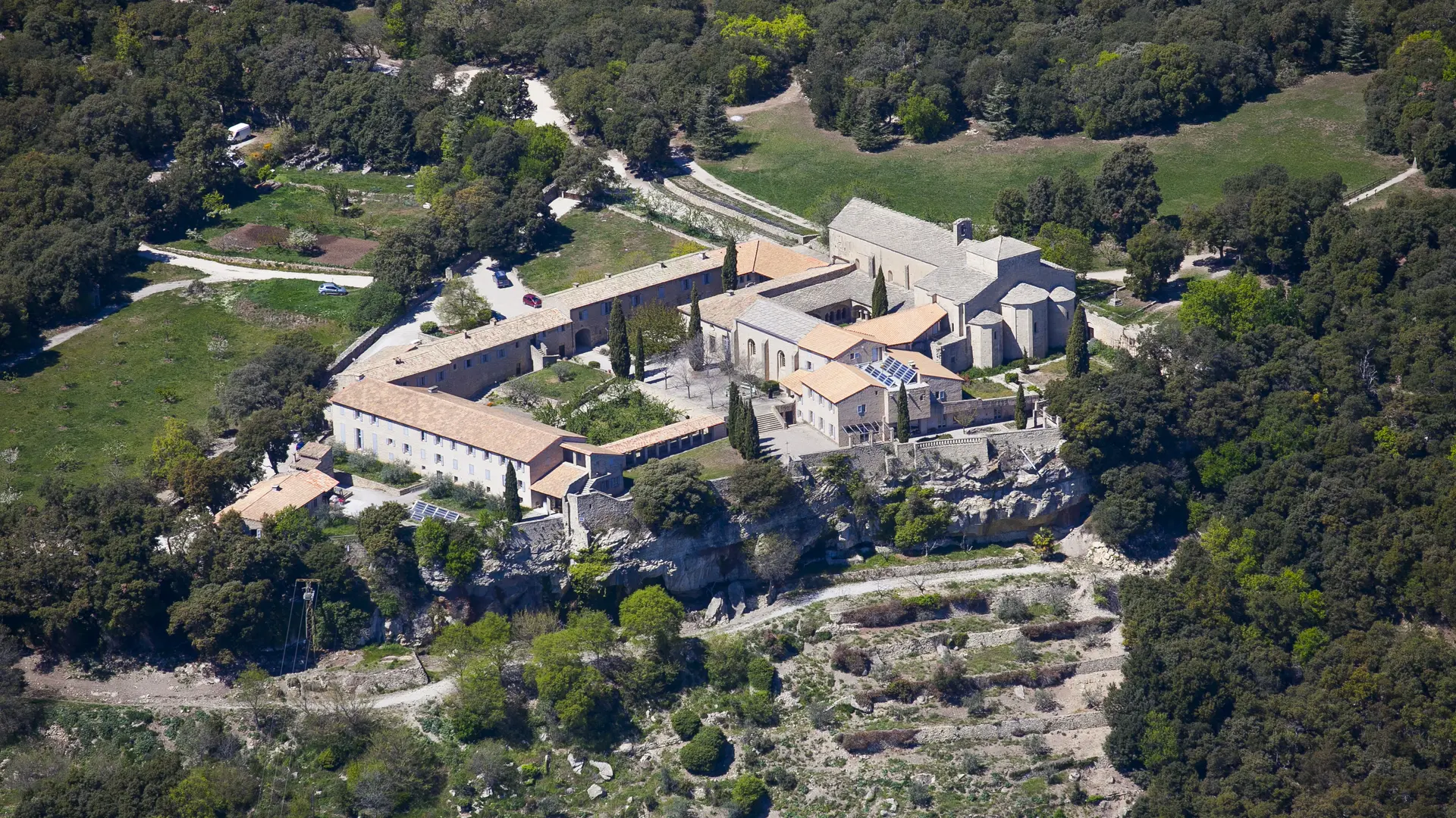
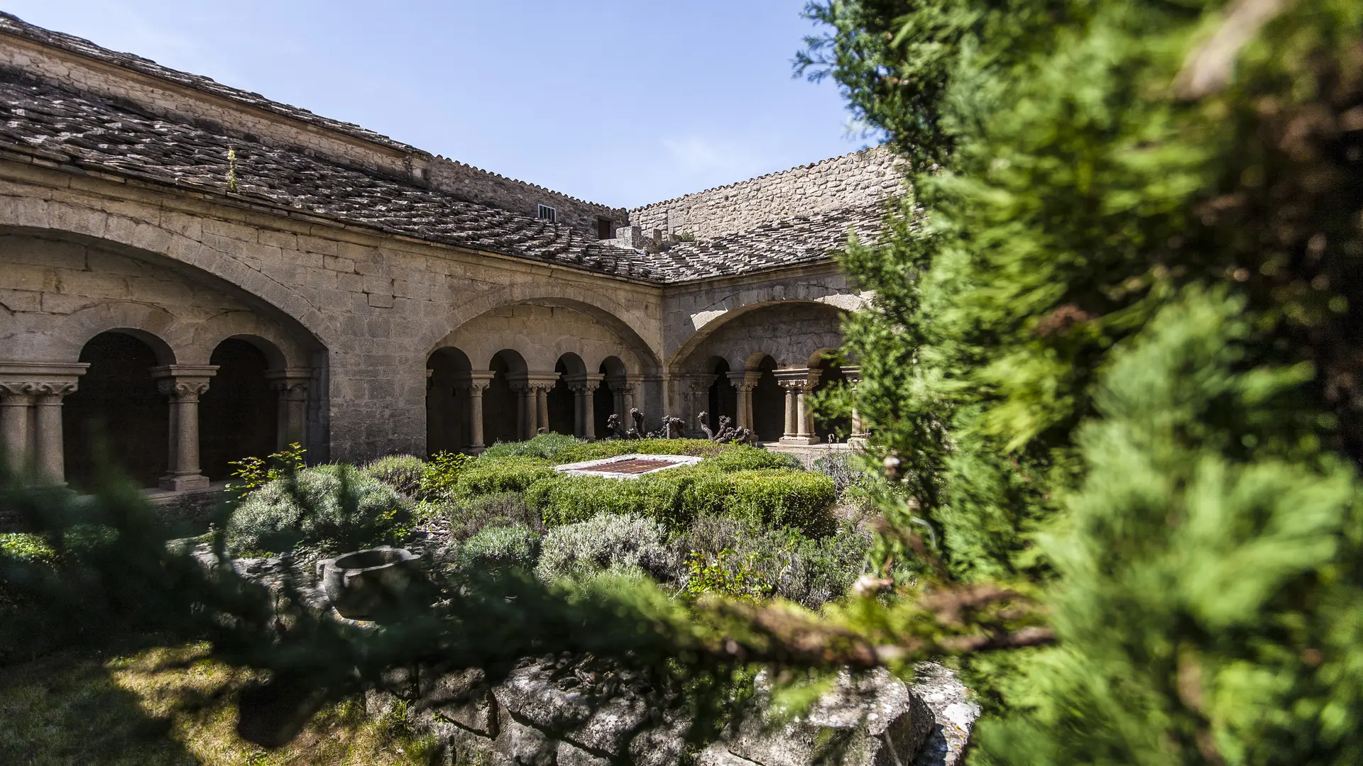
Stage Peyruis - Lurs (20 km - 560m D+ / 410m D-) : A legendary stage that crosses the Ganagobie plateau and its ancient village built at the northern end. Passage to the Notre-Dame Monastery and its 72th century chapel with its superb mosaics, it is the largest pavement of this type in France (72m²).
Read more