The Lac de l'Oule hike is, like the Lac de Cristol hike, an ascent that has to be earned, with some 800m of ascent, and a sustained but magnificent climb through the forest...
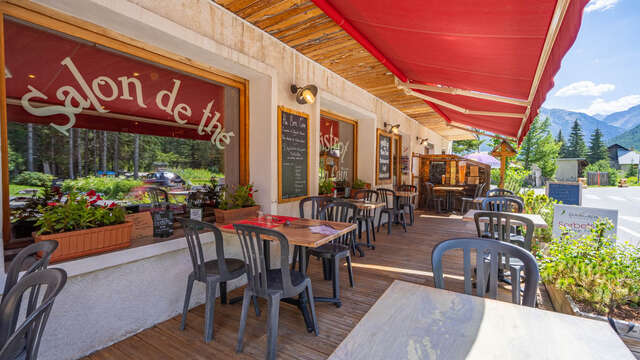
This hike starts from the Pont de Fortville, near the Bistrot de Pays Au Bon Coin, in the hamlet of Cros.
Cross the Pont de Fortville to reach "Les planchettes": the path crosses a pretty clearing lined with wooden sheds.
At the end of this plain, the path begins to climb through meadows towards the forest. The slope then begins to steepen between the trees, ignoring the various forest tracks on either side, and staying on the main GR5C-GR57 route. A few twists and turns follow before a slight flat spot that crosses the slope. A few more steep switchbacks and the path comes to a crossroads: the left-hand path (GR57) leads to Lac de l'Oule, while the right-hand path (GR5C) leads to Lac de Cristol.
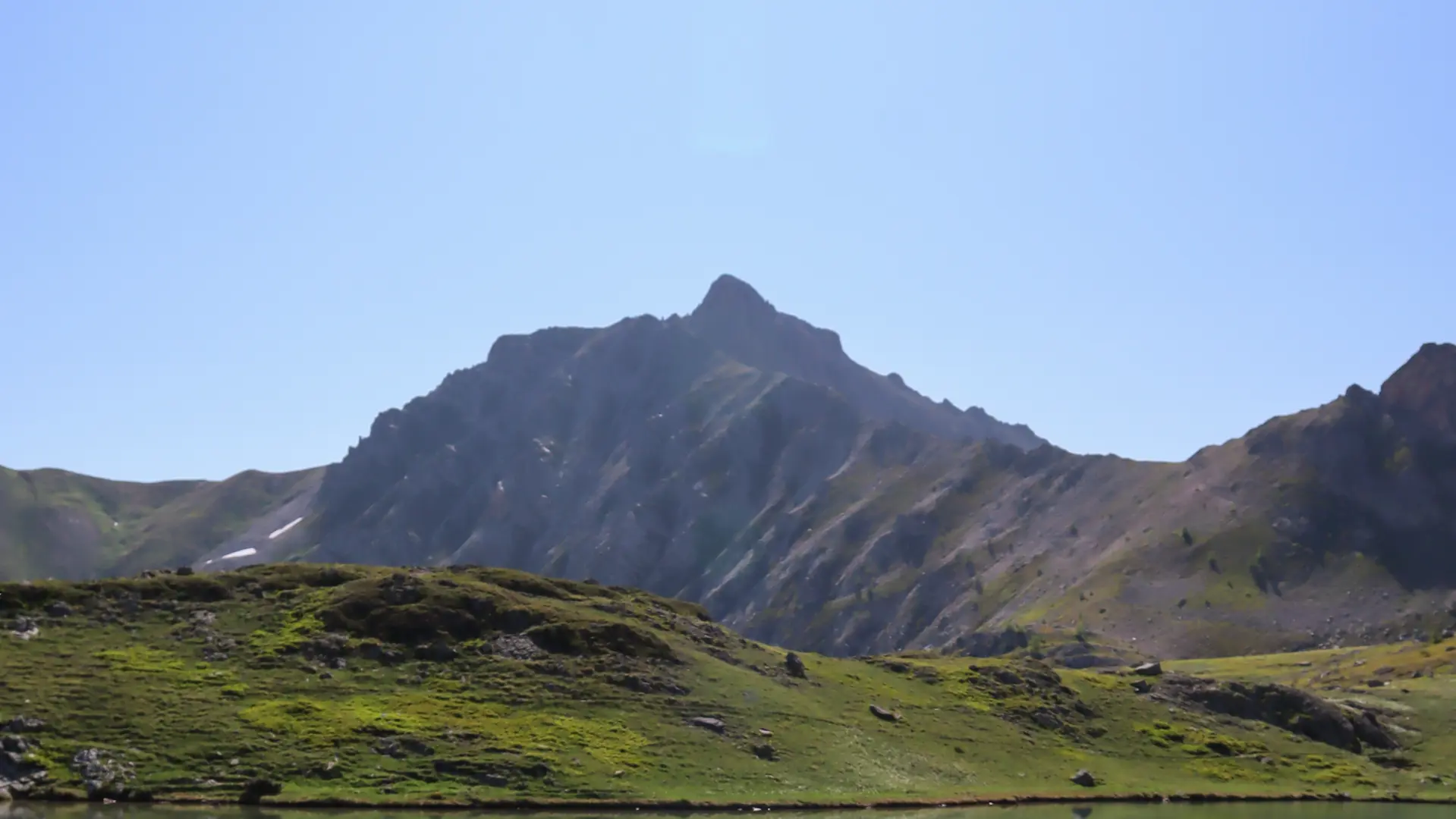
Take the left-hand path: it continues through woodland, then crosses a scree to reach rolling alpine meadows. Between woods, meadows and streams, the route offers a wide variety of landscapes. Continue along the Torrent de L'Oule, nestled between Pic du Longet and Montagne de l'Oule.
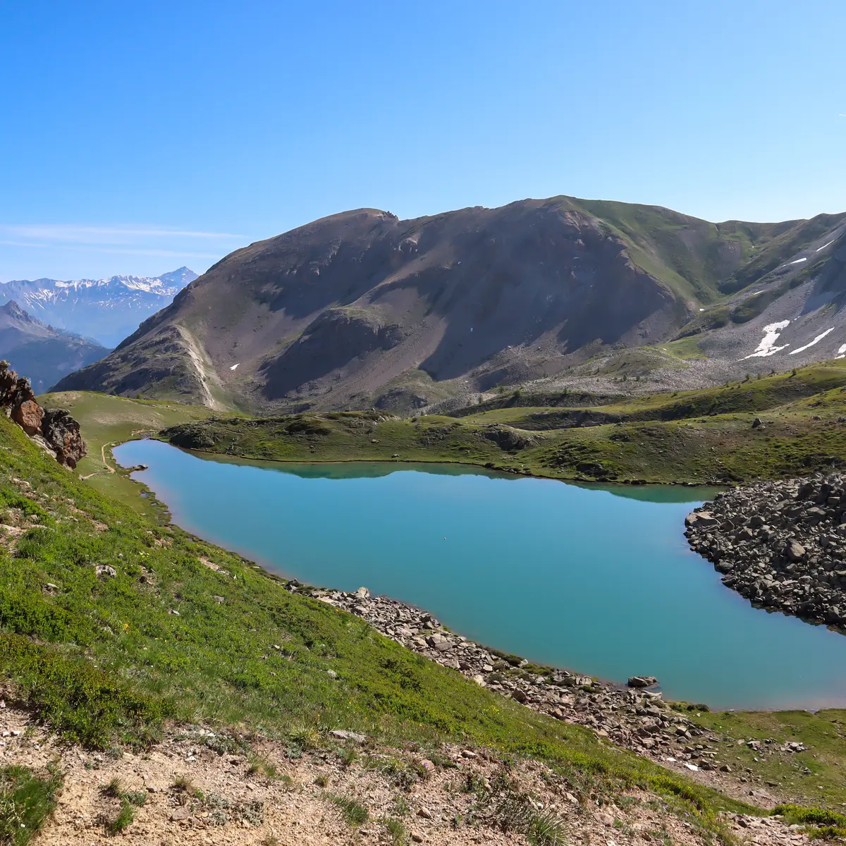
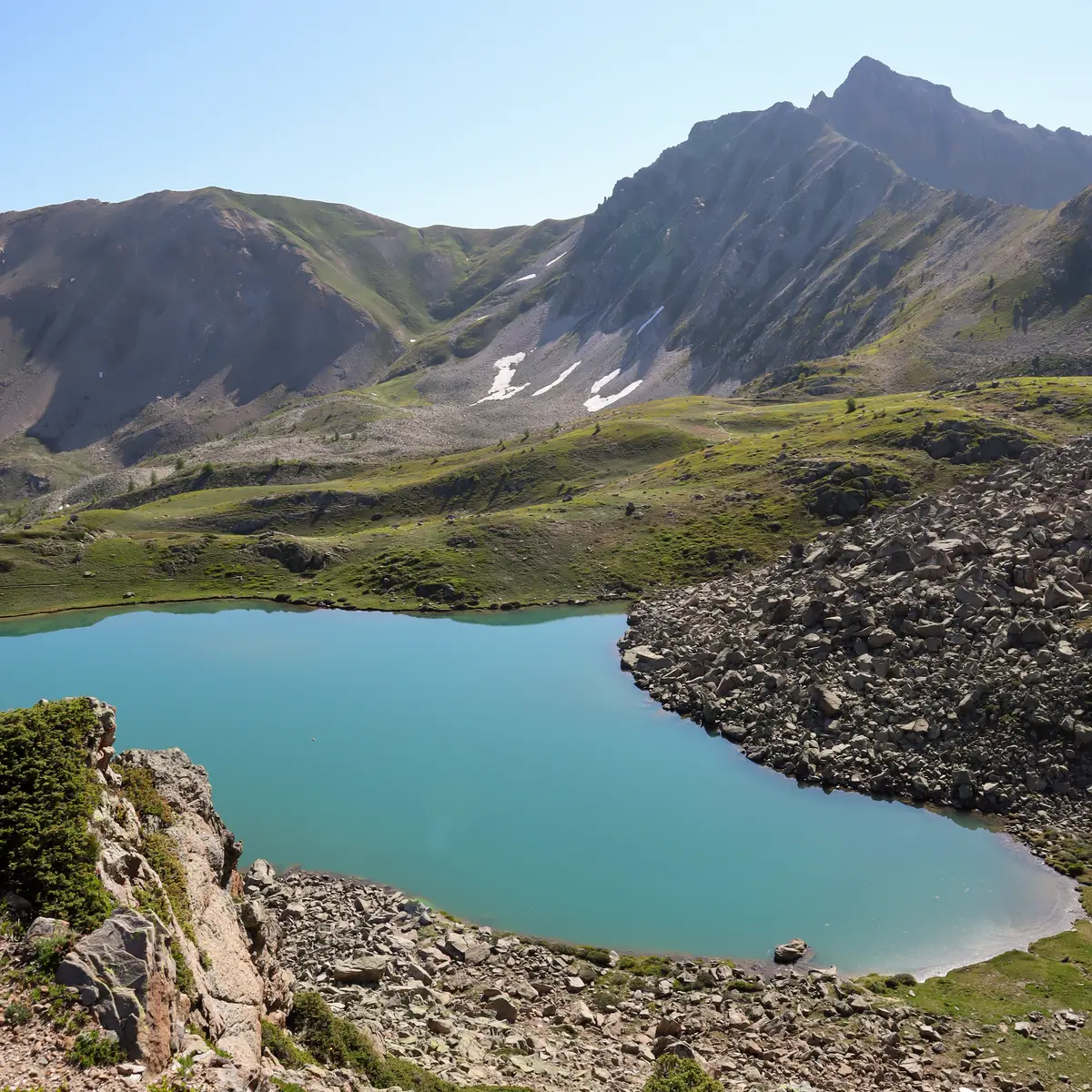
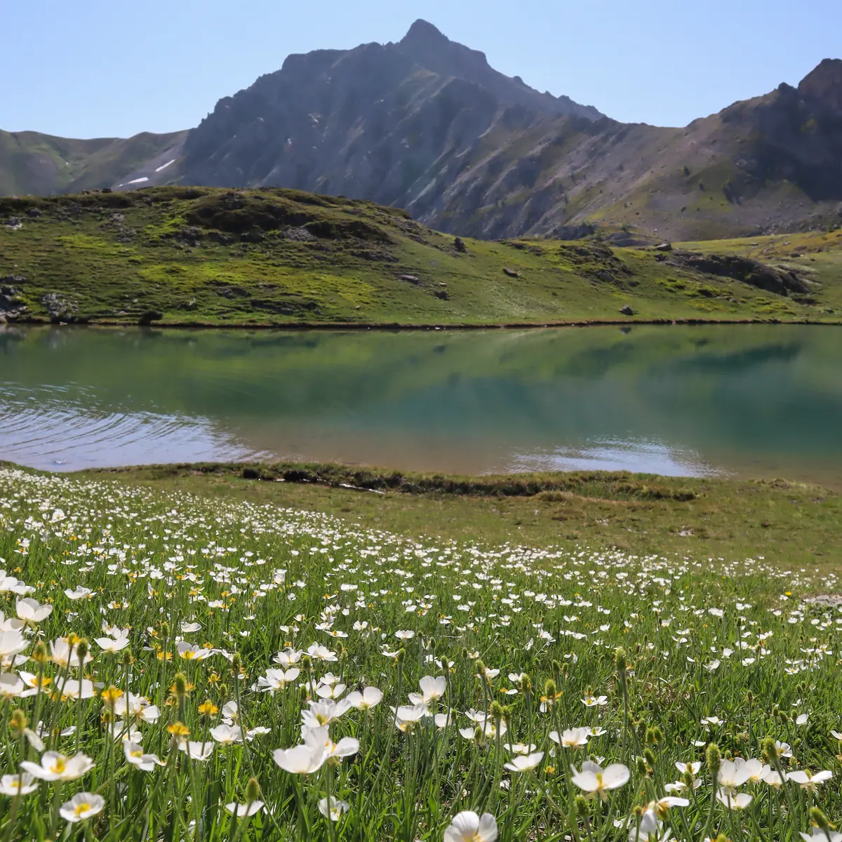
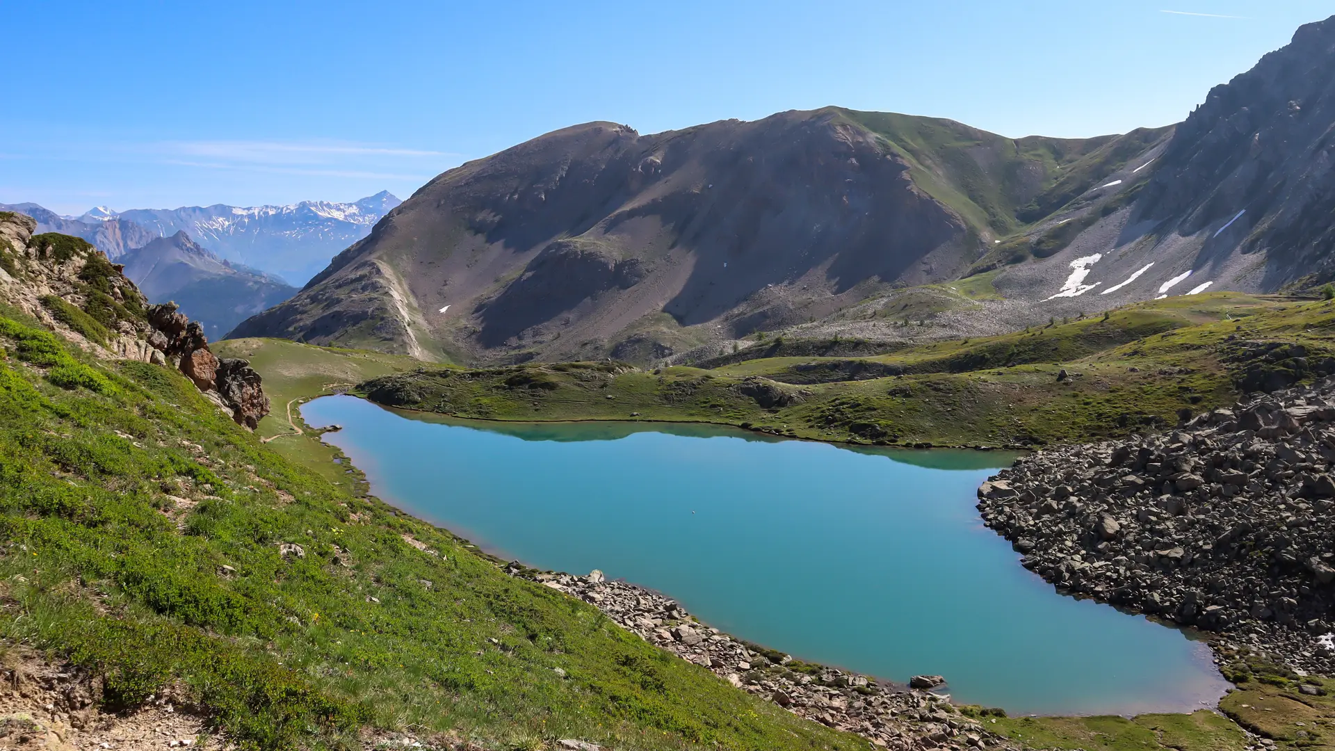
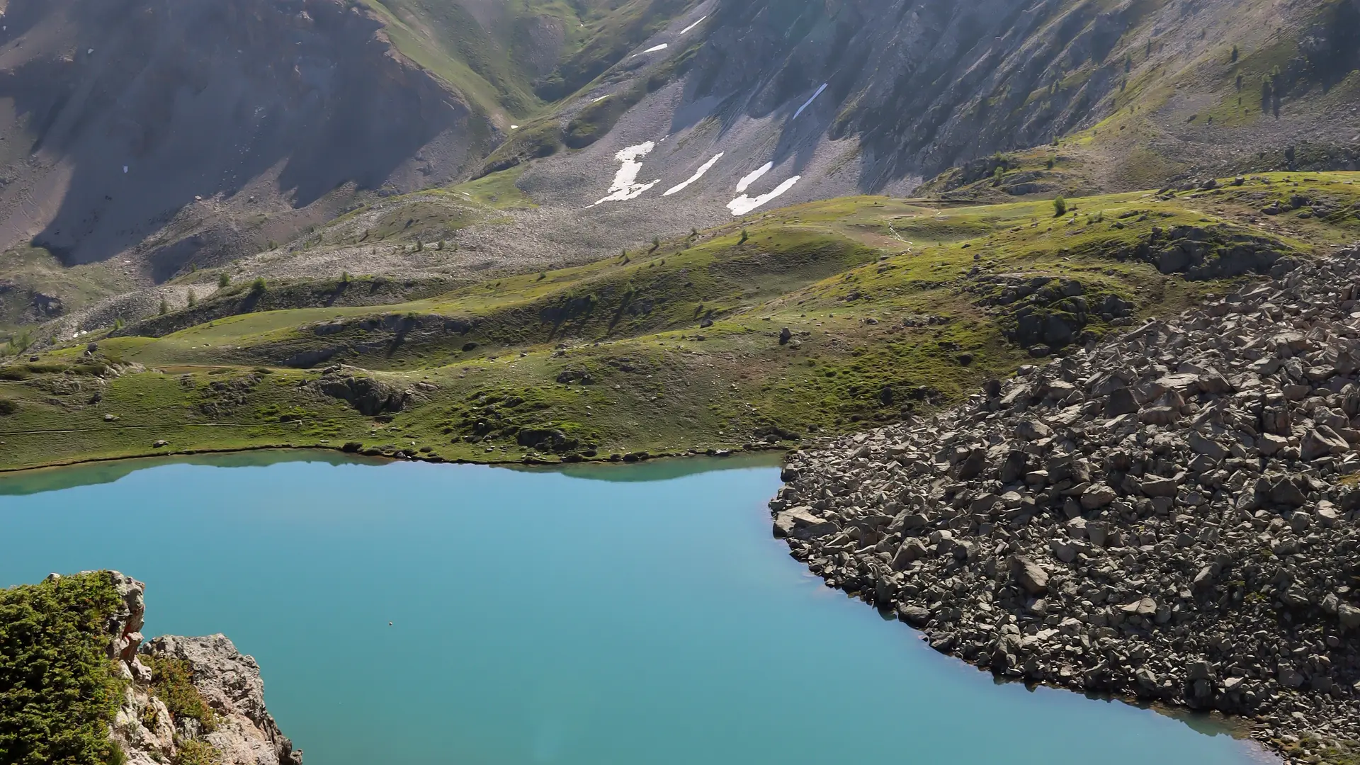
Arrive at Grand Lac de l'Oule. The lake valley is overlooked by the imposing Roche Gautier peak, and is closed off by the Crêtes du Pasquier, Col de L'Oule and Gardiole.
The return journey takes the same route.
This itinerary offers many other possibilities: for example, to reach Briançon, La-Salle-Les-Alpes and Saint-Chaffrey.
- Possibility of joining Col du Granon / Crêtes de Peyrolle / Briançon.
- Possibility of doing the Col de l'Oule, Porte de Cristol, Lac de Cristol loop.
This hike is not particularly difficult, but it does involve a steep, sustained ascent.
In summer, the Grand Lac de l'Oule is very popular with hikers arriving from the Col du Granon parking lot.