TourDentellesVTT-1

Gravel Dentelles

Sport, Cycling sports, Gravel bike route in Vaison-la-Romaine
47.9 km
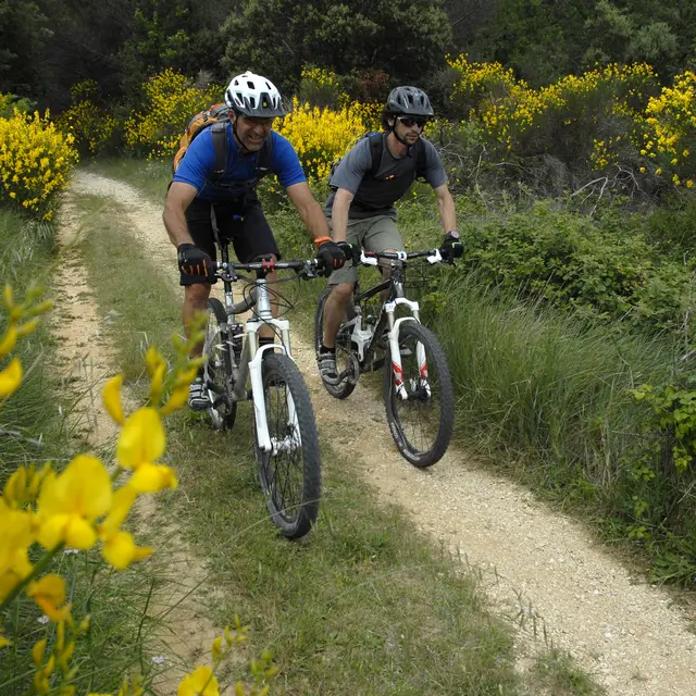
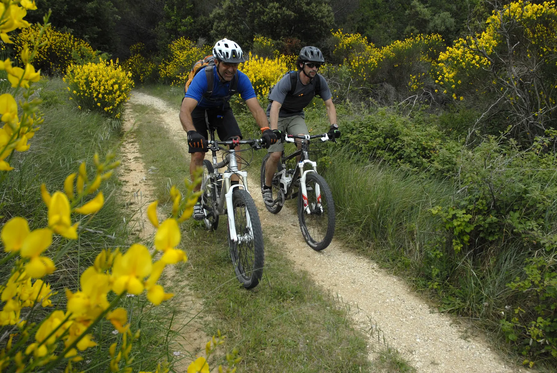
  • A superb route to discover the Dentelles de Montmirail, alternating between roads and paths.
    The loop is characterised by its multiple climbs and descents that follow the chiselled curves of the massif, with beautiful viewpoints!

  • A superb route for an immersion into the heart of the Dentelles-de-Montmiral massif, discover this climbing hotspot and its 500 equipped routes, its picturesque hilltop villages, the names of great wines of the Rhone Valley!
    This rather demanding loop offers magnificent views of the Comtadine plain, but also of the Giant of Provence.
    In the end, this tour of the Dentelles does not look like much with its short length of 50 km, but the succession of climbs and descents along roads and...
    A superb route for an immersion into the heart of the Dentelles-de-Montmiral massif, discover this climbing hotspot and its 500 equipped routes, its picturesque hilltop villages, the names of great wines of the Rhone Valley!
    This rather demanding loop offers magnificent views of the Comtadine plain, but also of the Giant of Provence.
    In the end, this tour of the Dentelles does not look like much with its short length of 50 km, but the succession of climbs and descents along roads and tracks can give the impression of having travelled much further!
  • Departure
    Vaison-la-Romaine
  • Difference in height
    1100.67 m
  • Environment
    • In the country
    • View over the vineyards
    • Panoramic view
  • Spoken languages
    • French
  • Documentation
    GPX / KML files allow you to export the trail of your hike to your GPS (or other navigation tool)
1101 meters of difference in height
  • Maximum altitude : 579 m
  • Minimum altitude : 121 m
  • Total positive elevation : 1101 m
  • Total negative elevation : -1101 m
  • Max positive elevation : 185 m
  • Min positive elevation : -152 m
Services
  • Activities
    • Cycle sports
    • Mountain biking