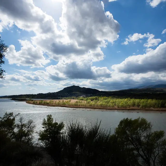
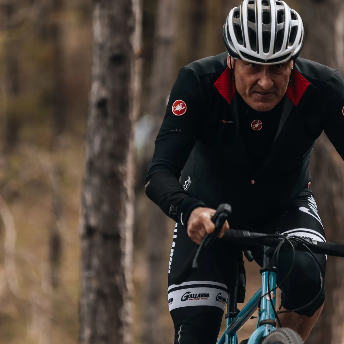
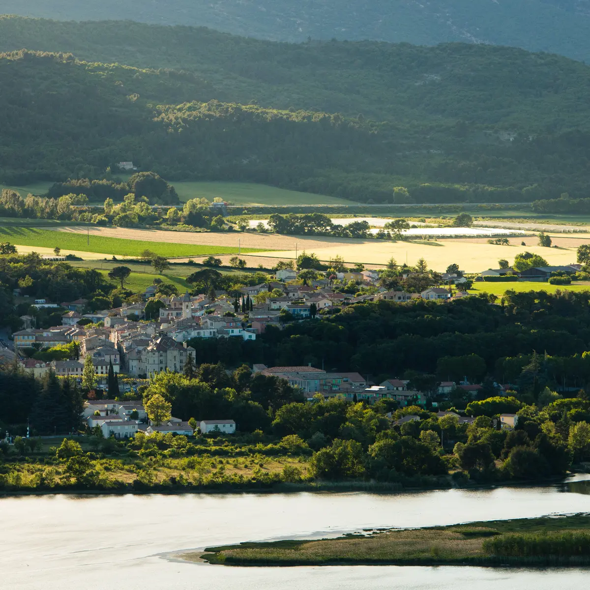
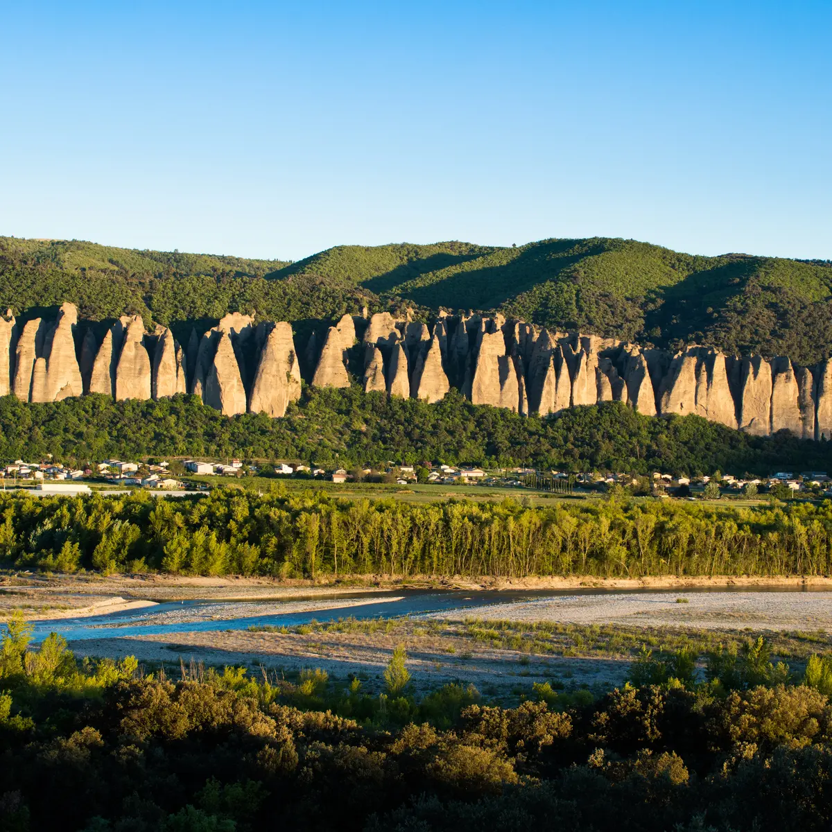
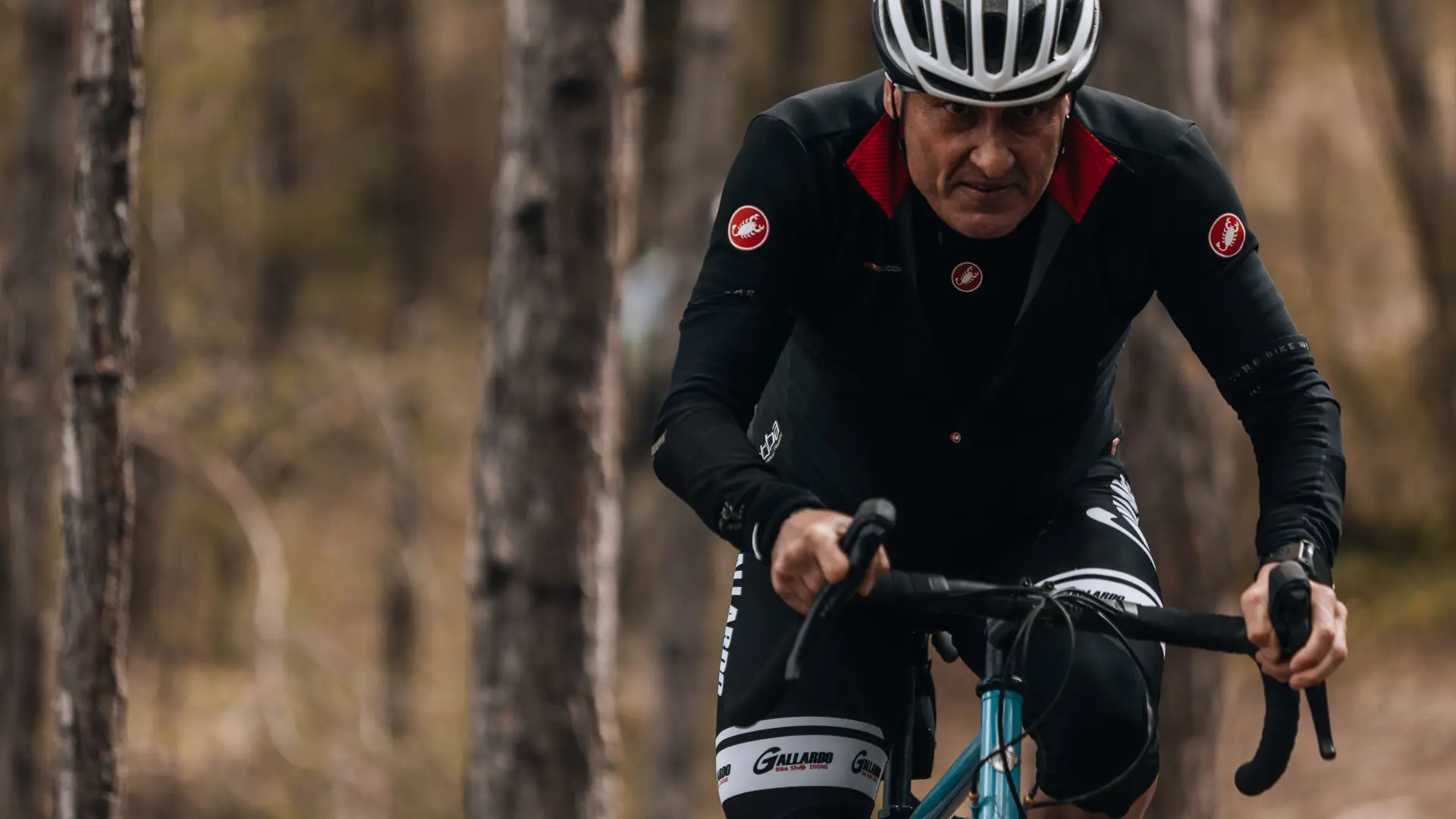
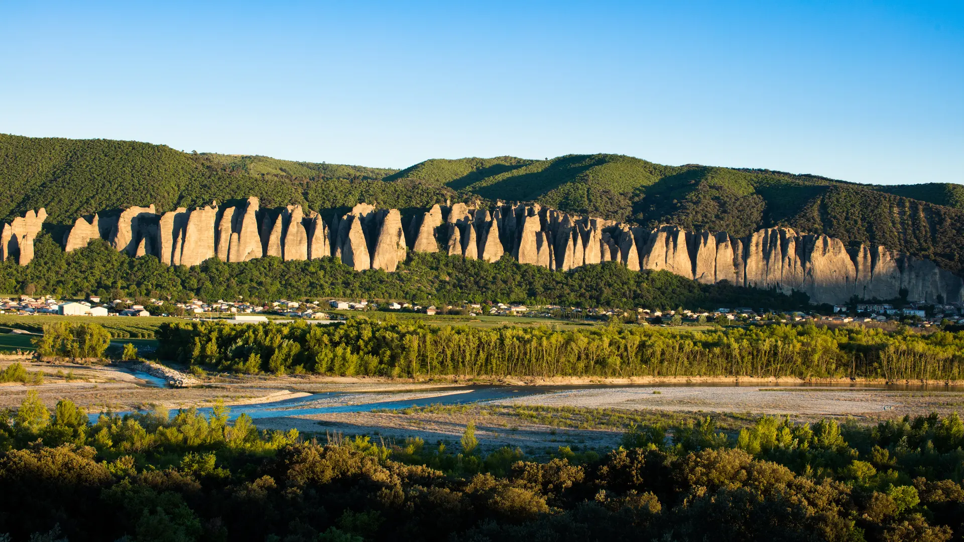
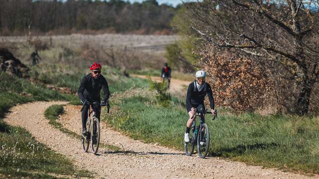
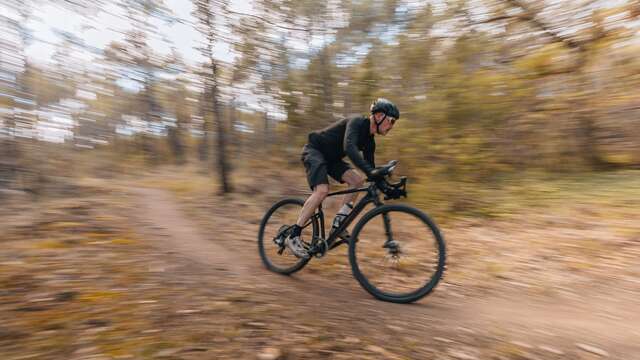
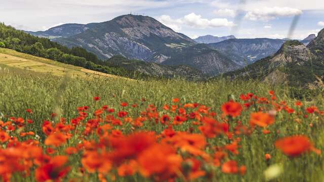
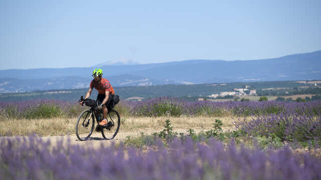
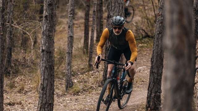
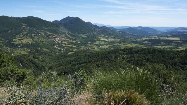
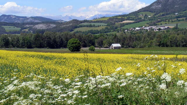
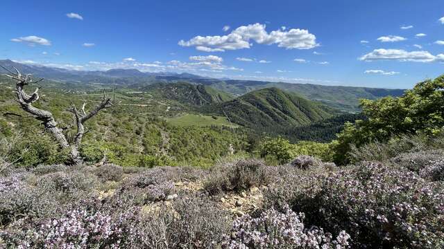
P'tites routes du soleil Gravel : étape Digne-les-Bains/BarêmeThis route heads out from Digne toward Mézel, nestled in the heart of the Asse Valley, before entering the Verdon Regional Natural Park. Your first key stop is Majastres, a...
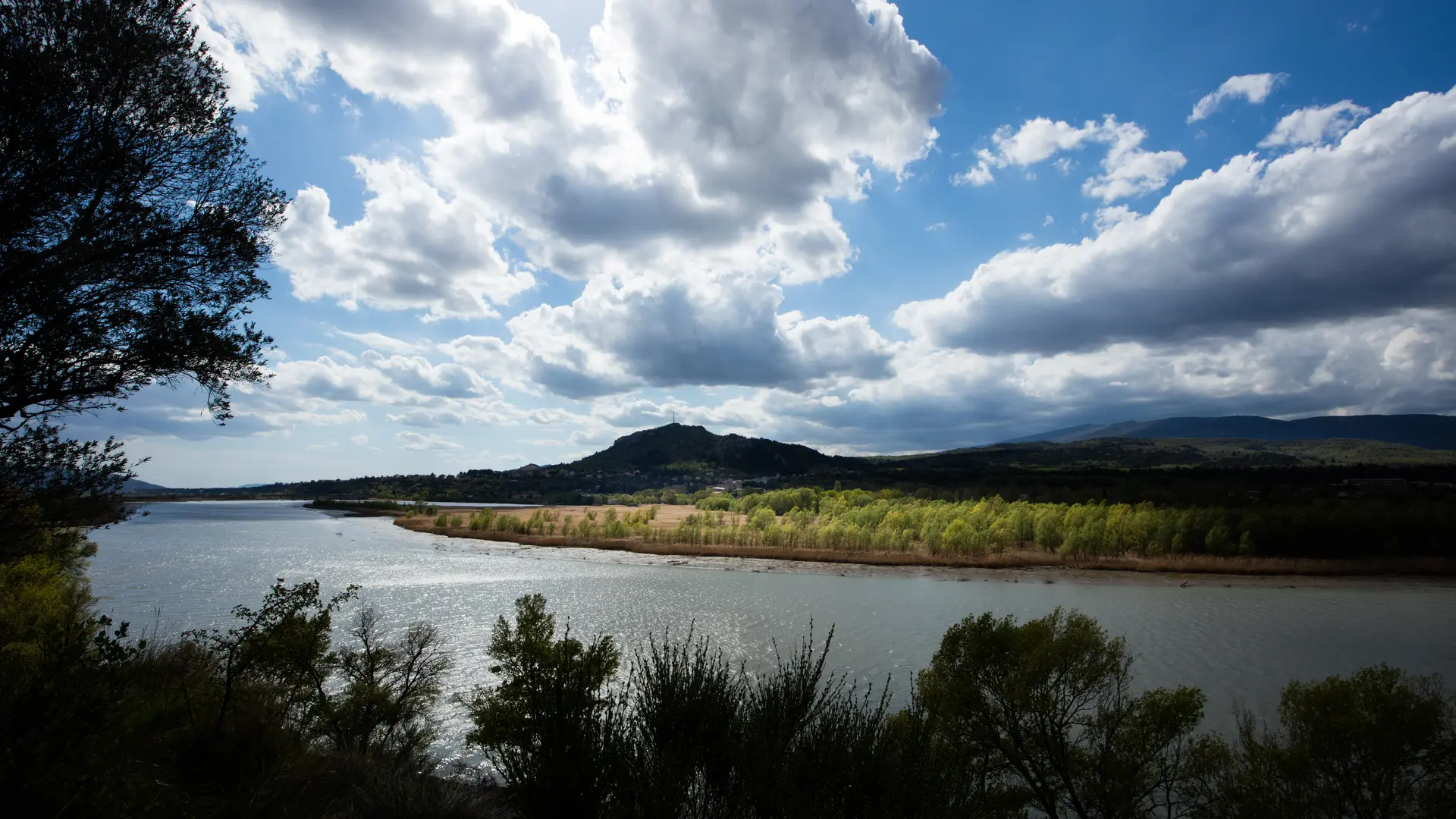
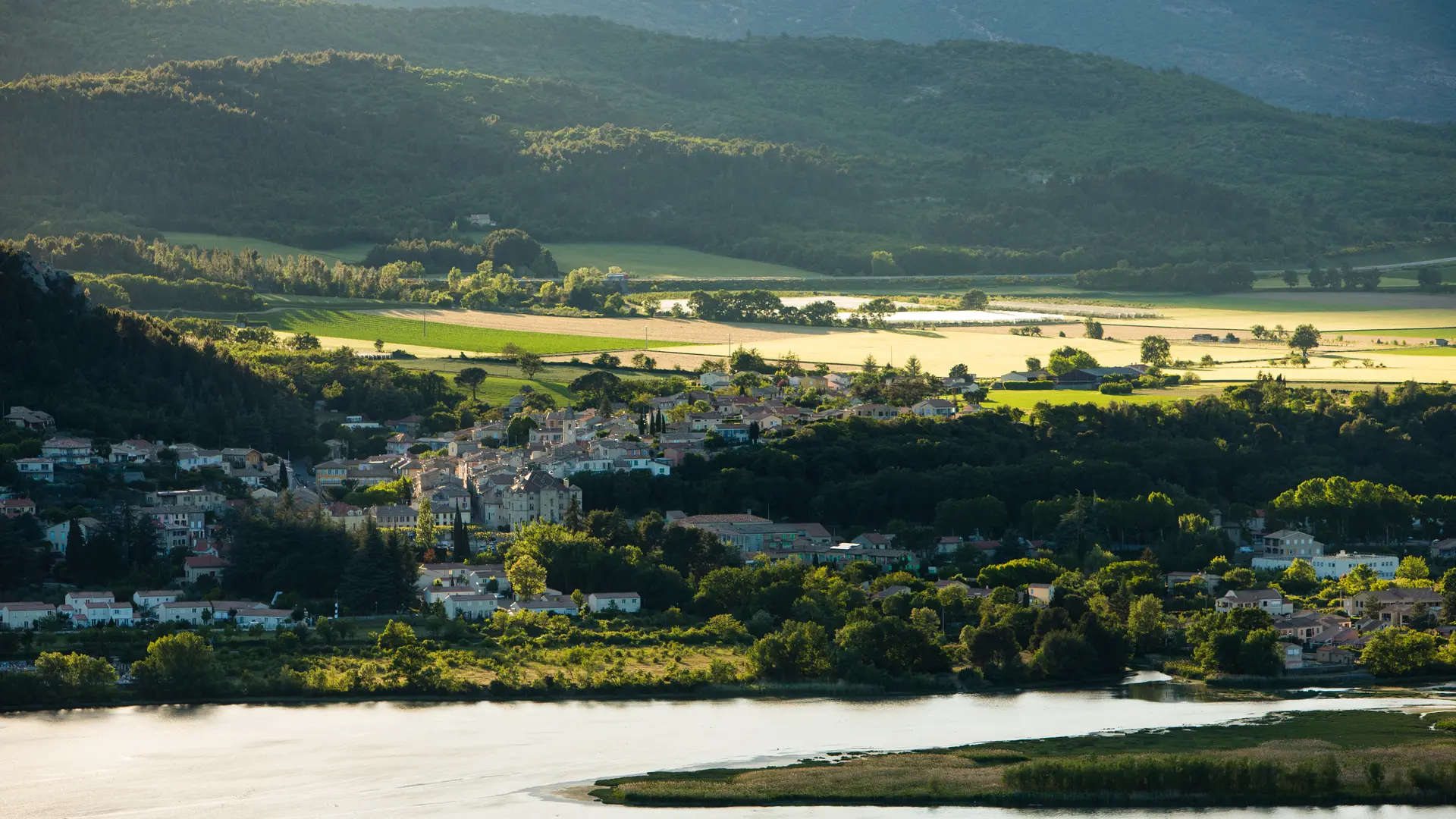
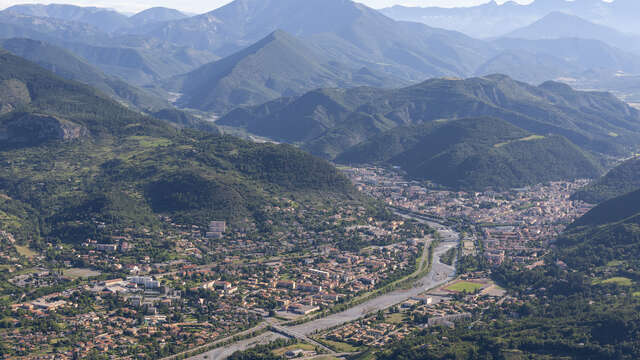
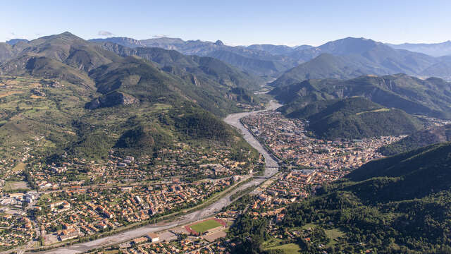
Digne-les-Bains