See photos (2)

Gravel sous la Sainte-Baume

Sport, Cycling sports, Gravel bike route in Saint-Zacharie
36.8 km
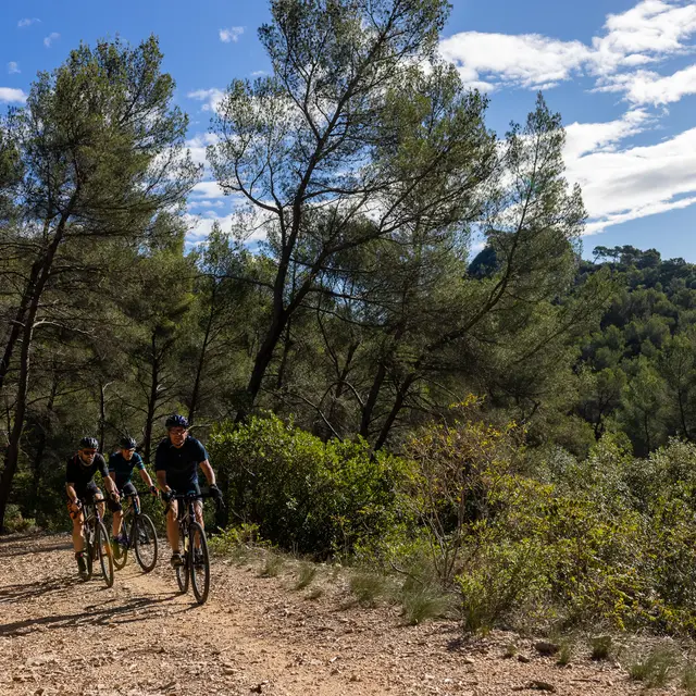
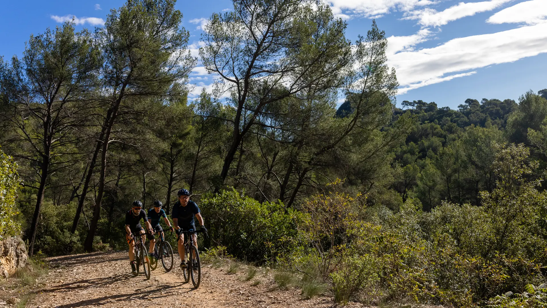
  • A first in Gravel in the Sainte-Baume massif, starting from Saint-Zacharie.

  • Departure
    Saint-Zacharie
  • Difference in height
    970.461 m
  • Plain text period
    All year round.
  • Environment
    • View over the vineyards
    • Panoramic view
  • Spoken languages
    • French
  • Documentation
    GPX / KML files allow you to export the trail of your hike to your GPS (or other navigation tool)
  • Accepted customers
    • Level red – hard
    • For athletes
970 meters of difference in height
  • Maximum altitude : 738 m
  • Minimum altitude : 195 m
  • Total positive elevation : 970 m
  • Total negative elevation : -970 m
  • Max positive elevation : 150 m
  • Min positive elevation : -365 m
Services
  • Equipment
    • Car park