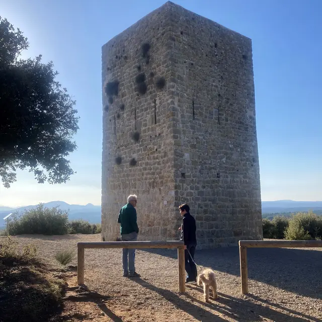
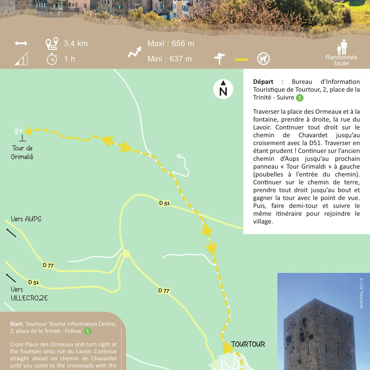
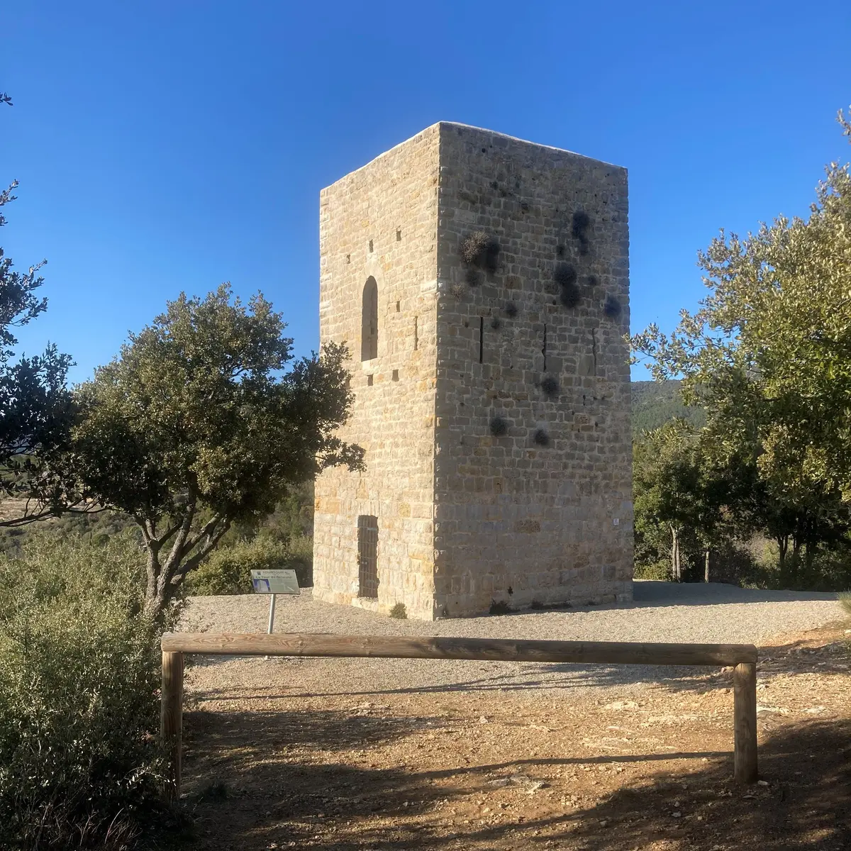
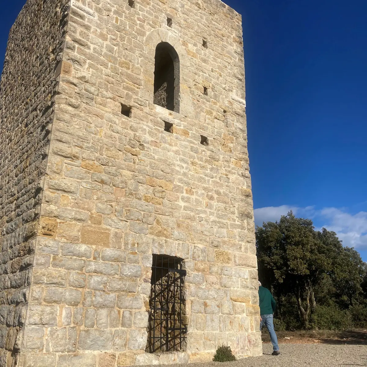
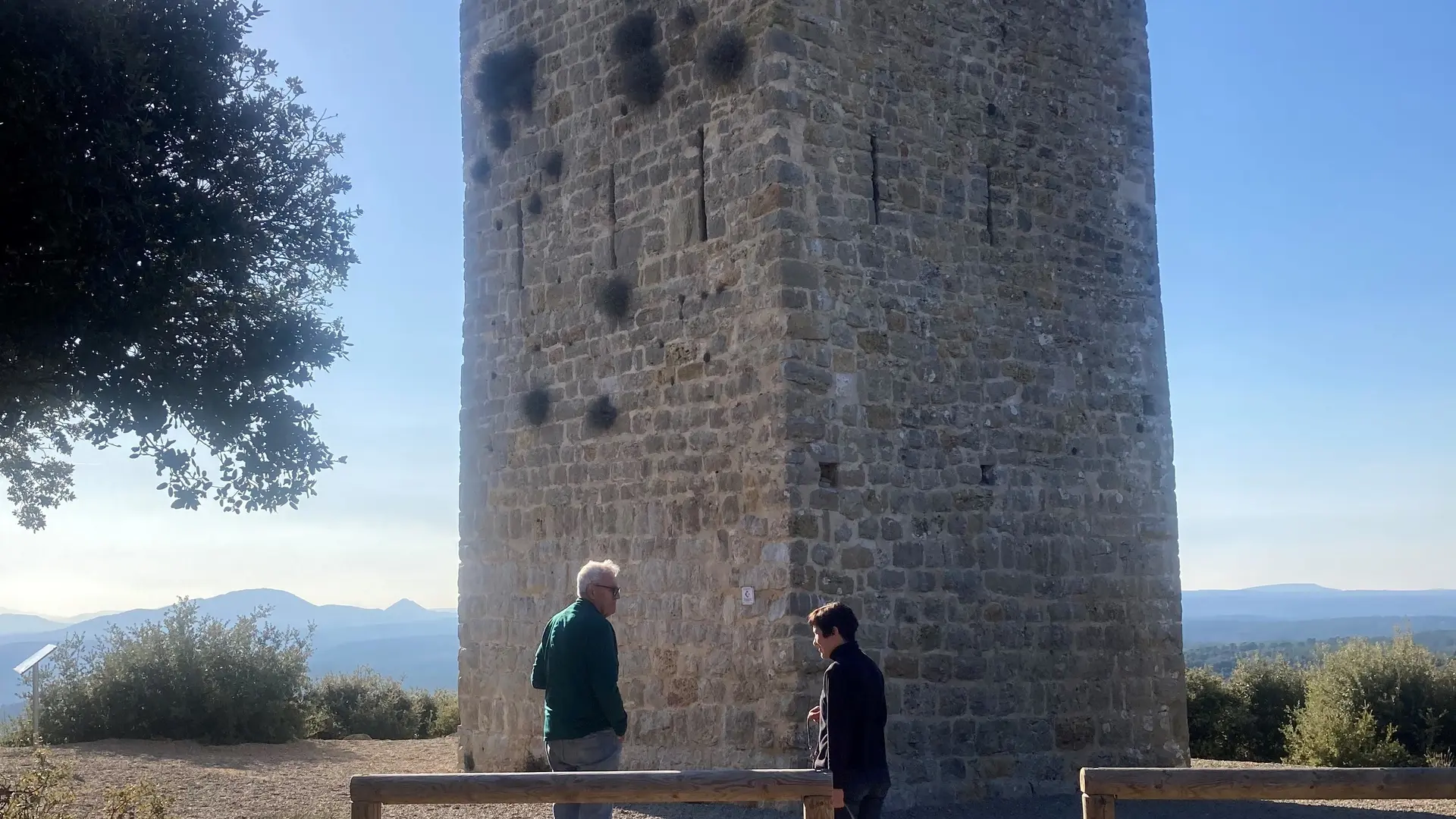
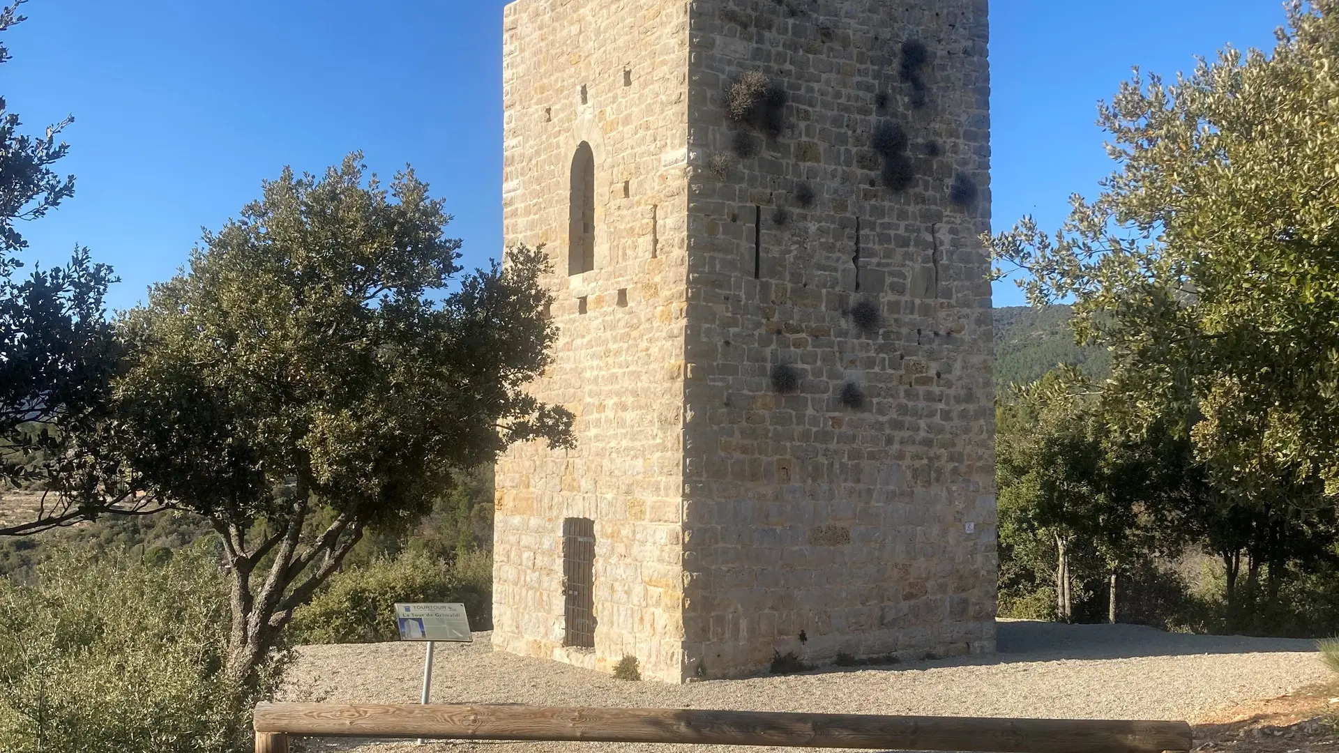
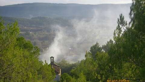
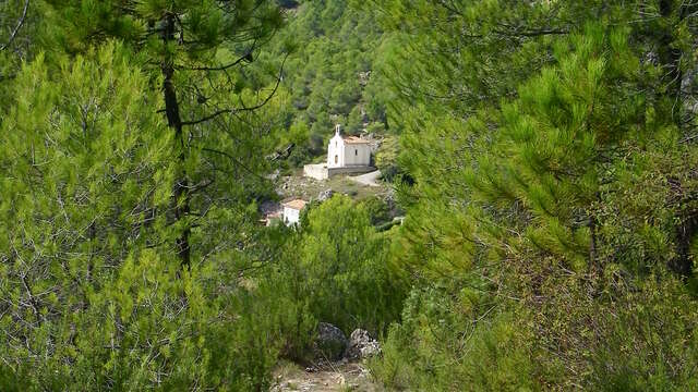
Discover the Grimaldi tower, a medieval Saracen-style tower with a panoramic viewpoint overlooking the massifs of the region, from Sainte-Victoire to the Esterel.
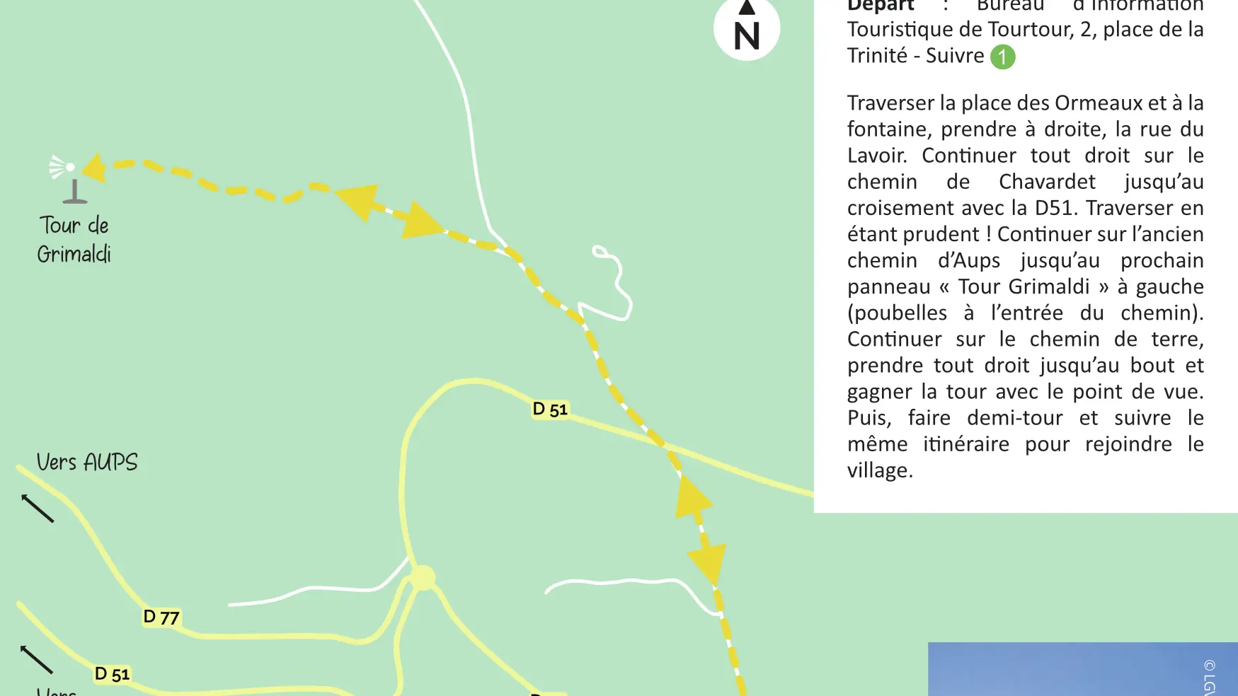
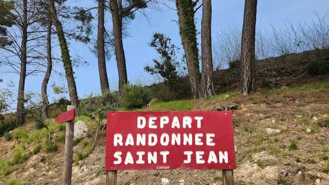
Cross Place des Ormeaux and turn right at the fountain onto rue du Lavoir. Continue straight ahead on chemin de Chavardet until you come to the crossroads with the D51 road. Cross with caution! Continue along ancien chemin d’Aups until you see the next sign ‘’Tour Grimaldi’’ on your left (garbage cans at the entrance of the path). Keep straight on on the path until you reach the end, where you will see the Tower and the viewpoint. Then turn around and follow the same route back to the village.
To see the hike on the map, click here: https://shorturl.at/NPSNn
Read more
Plain text period
All year round daily.
Before hiking, check whether access to forest areas is authorised: https://www.risque-prevention-incendie.fr/var/.