See photos (8)

Hameau de Creisset

Sport, Pedestrian sports, Hiking itinerary in Beynes
Unresolved hours
9.6 km
3h 30min
Hard
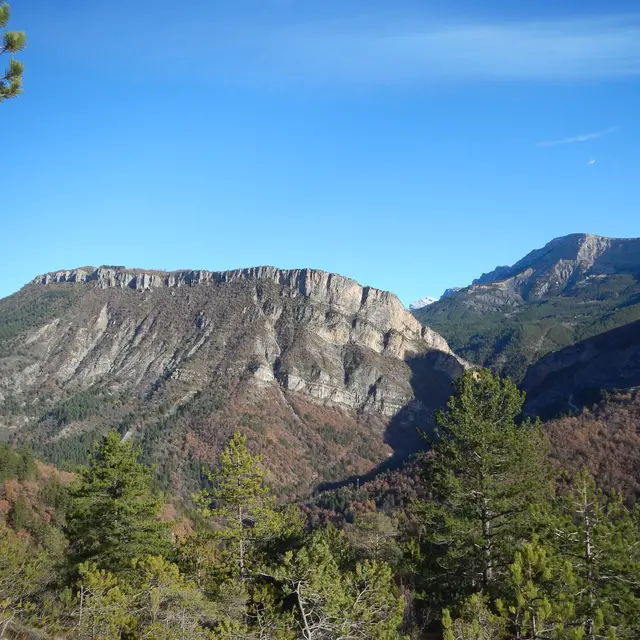
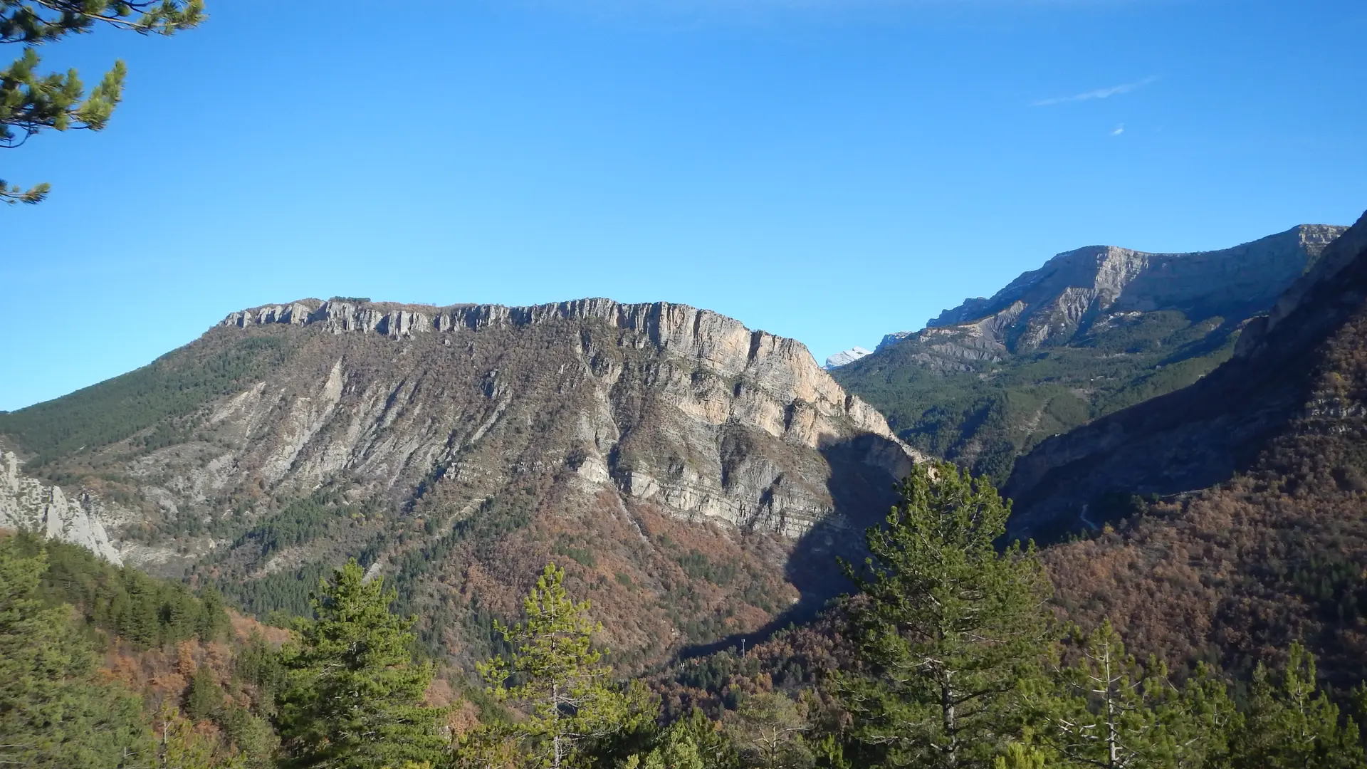
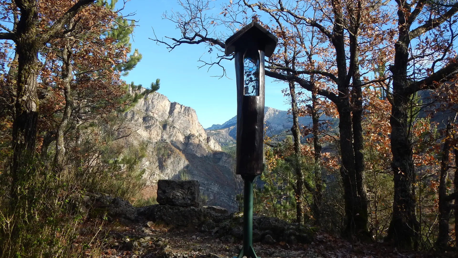
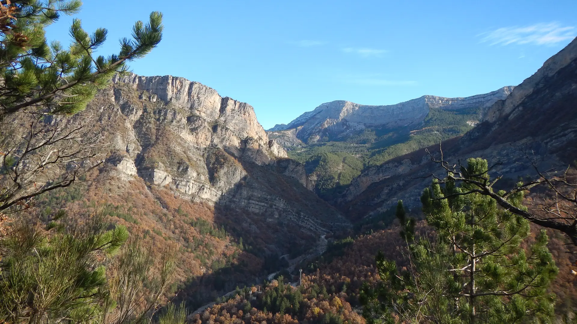
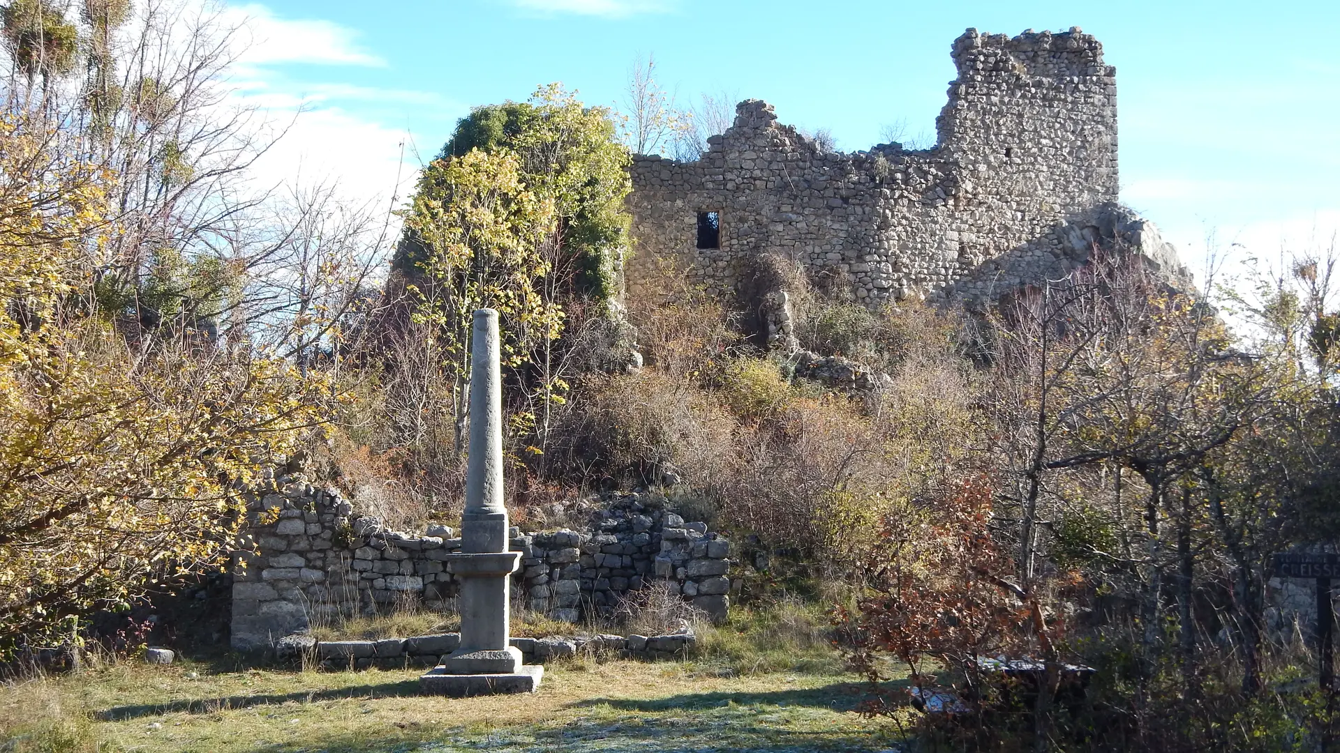
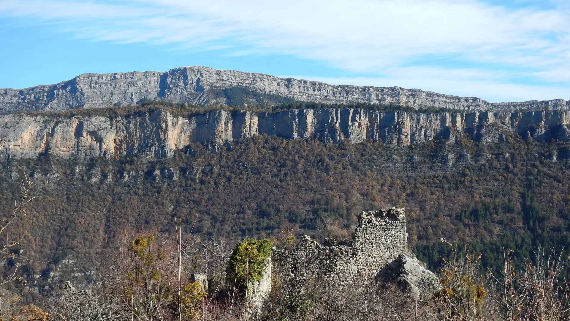
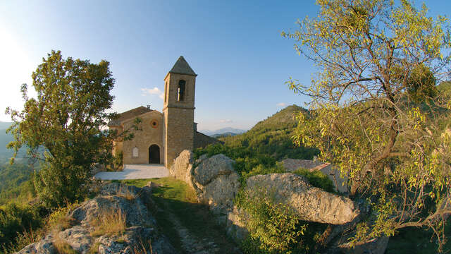
  • This beautiful hike in the undergrowth allows you to discover the ruins of a castle and an abandoned village, still inhabited in the last century. From Digne (19 km), follow the N85 towards Barrême 2 km after the village of Chabrières take the track on the right.

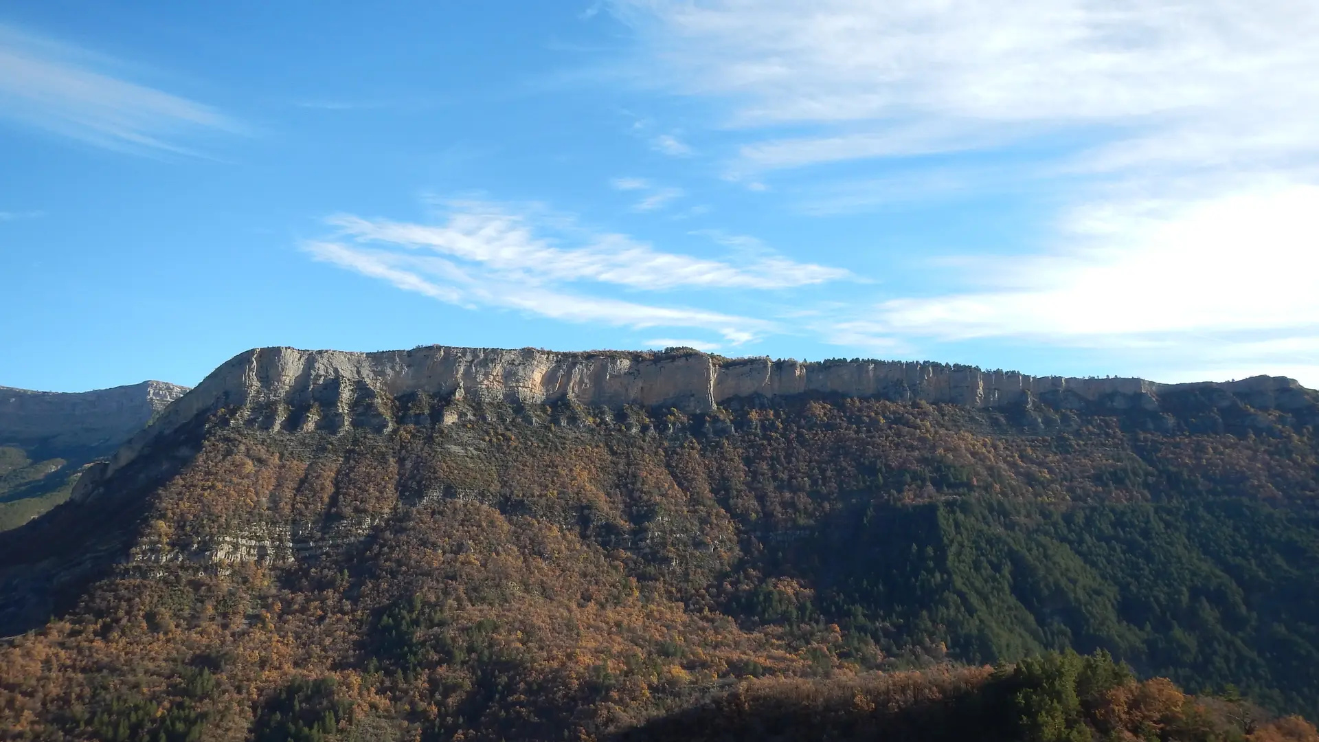
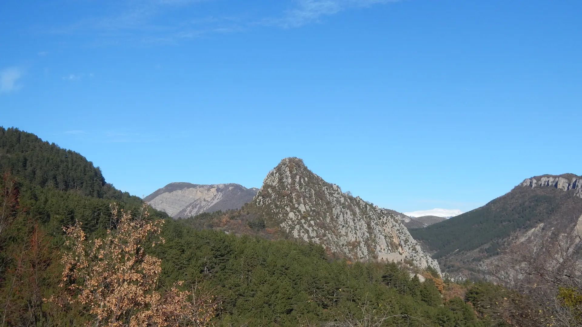
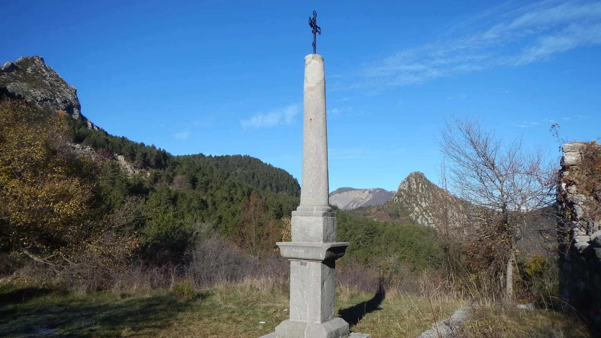
  • Cross the footbridge over the Asse, follow the yellow markings to the ruined hamlet of Creisset and continue to the Villard hut (shelters). You will be tempted by a break in one of these two welcoming and relaxing places. Return via the ruins of Chandres and descend into a beautiful forest to go around the Valbonette climbing rock.
  • Departure
    Beynes
  • Difference in height
    475 m
  • Environment
    • Forest location
    • In the country
    • Village centre
  • Spoken languages
    • French
  • Documentation
    GPX / KML files allow you to export the trail of your hike to your GPS (or other navigation tool)
475 meters of difference in height
Created with Highcharts 6.2.0Distance (km)Altitude (m)0 km1 km2 km3 km4 km5 km6 km7 km8 km9 km600 m700 m800 m900 m1000 m1100 mHighcharts.com
  • Maximum altitude : 1047 m
  • Minimum altitude : 639 m
  • Total positive elevation : 475 m
  • Total negative elevation : -475 m
  • Max positive elevation : 131 m
  • Min positive elevation : -400 m
Services
  • Equipment
    • Free car park
    • Car park
Close