See photos (9)

Hameau du Poil

Sport, Pedestrian sports, Hiking itinerary in Majastres
Unresolved hours
11.8 km
3h 15min
Hard
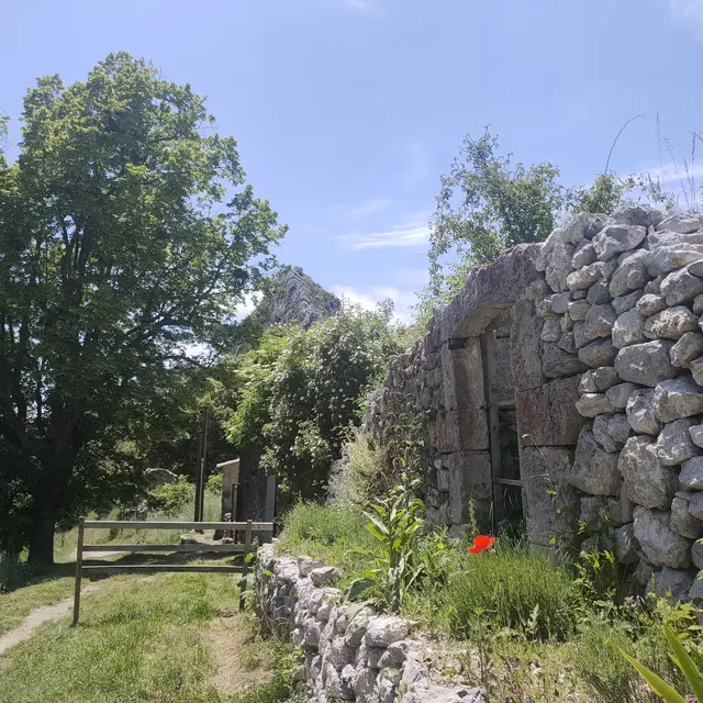
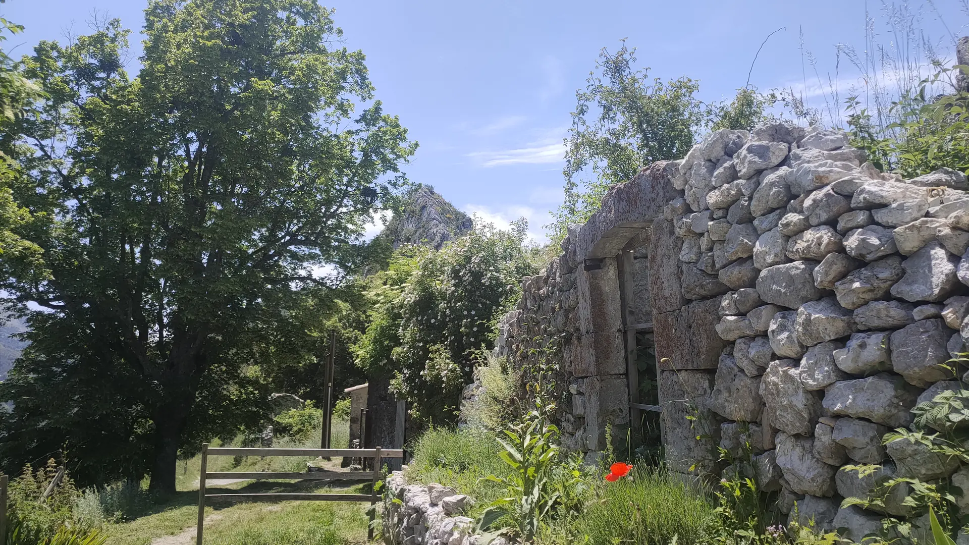
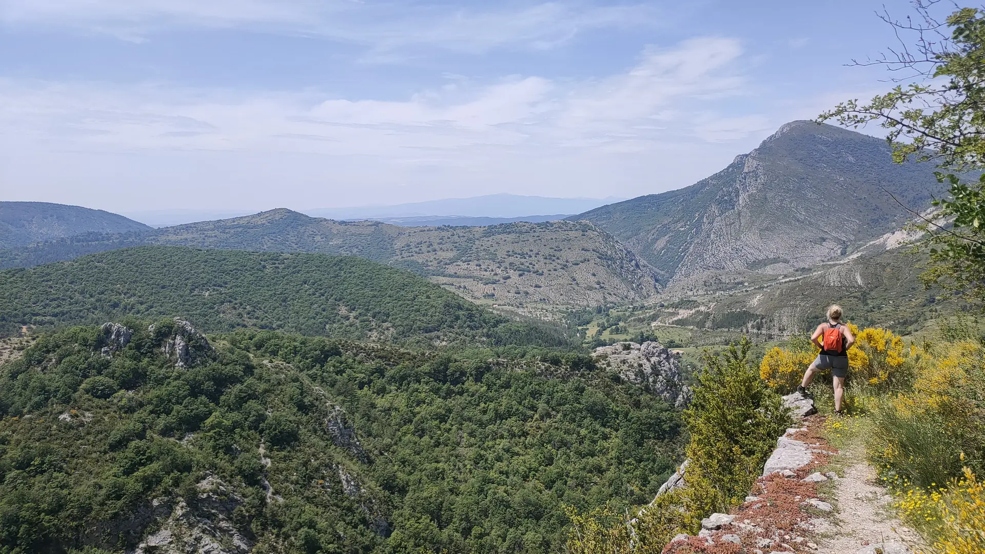
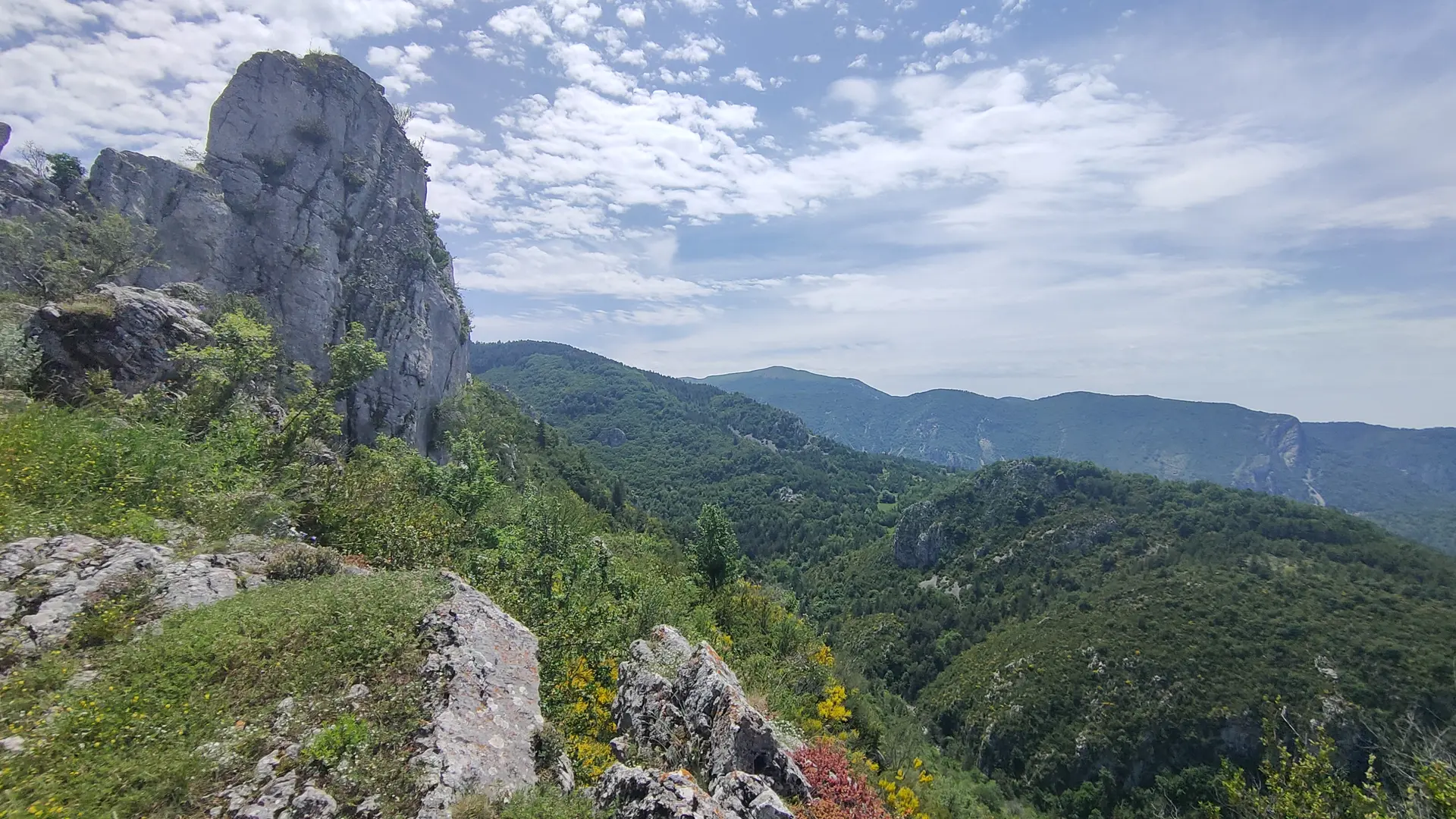
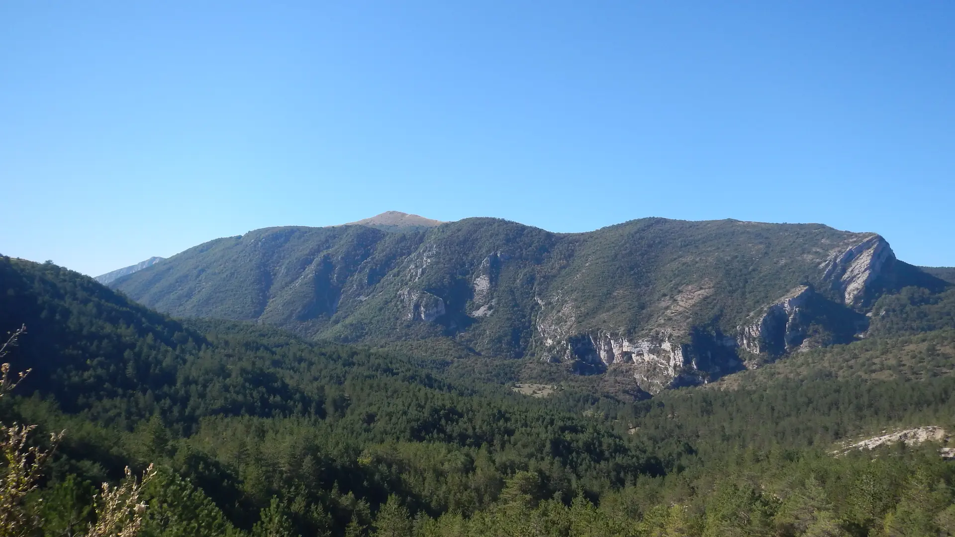
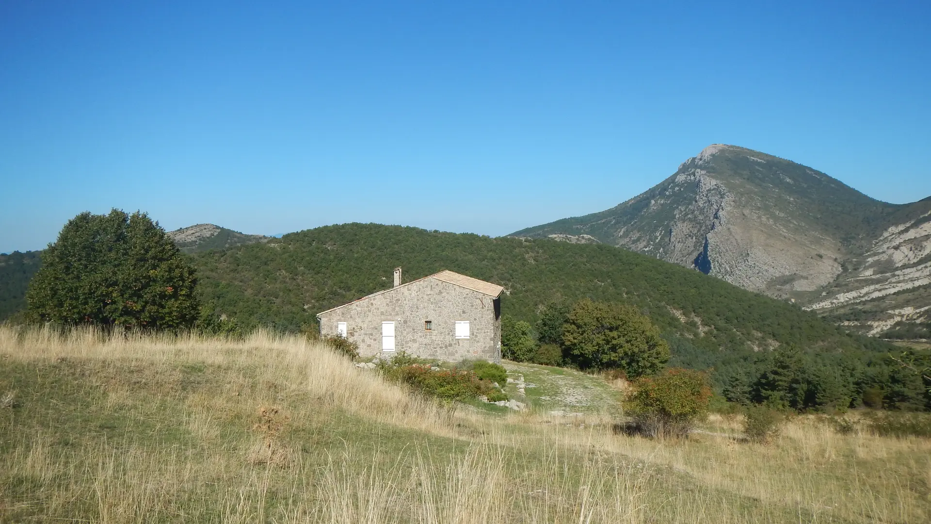
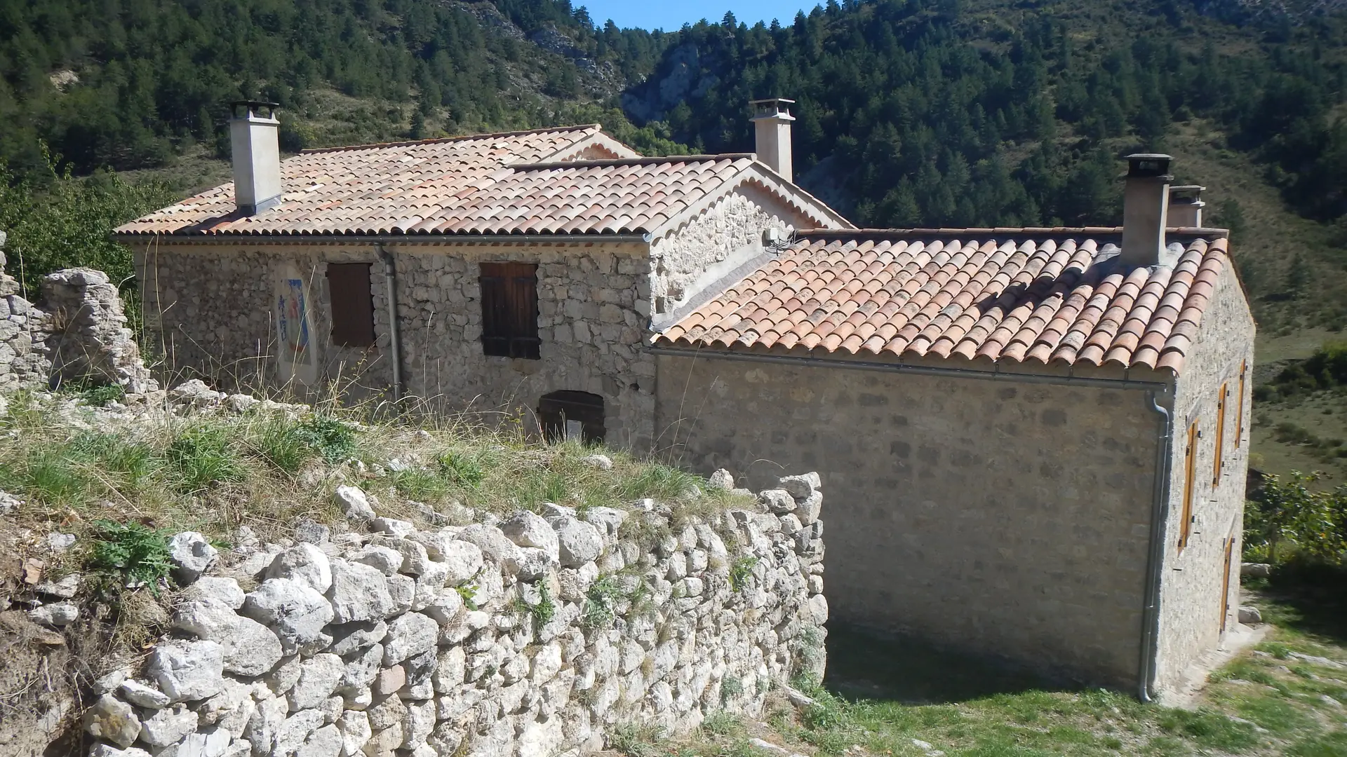
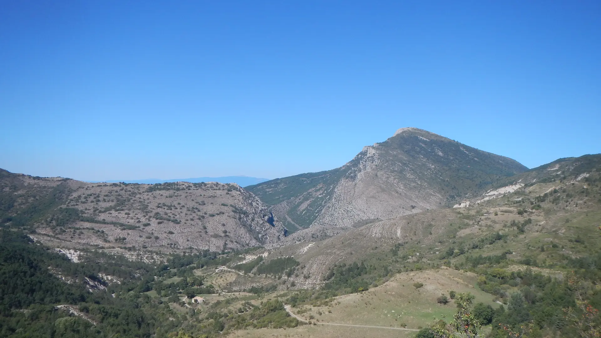
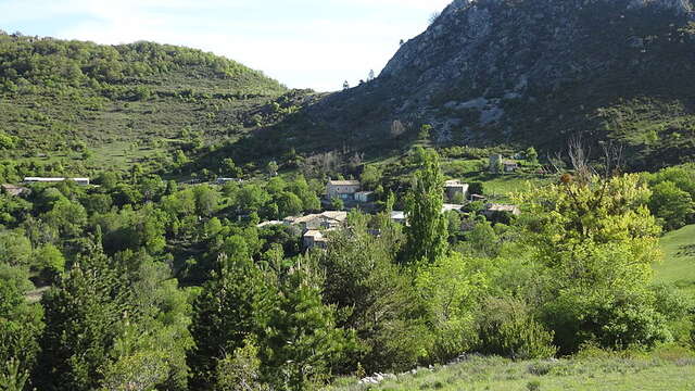
  • Go on a wild loop to the old village of Poil and the shelter of Blâches. It is an ideal day hike with picnic in a preserved, calm and exotic setting.

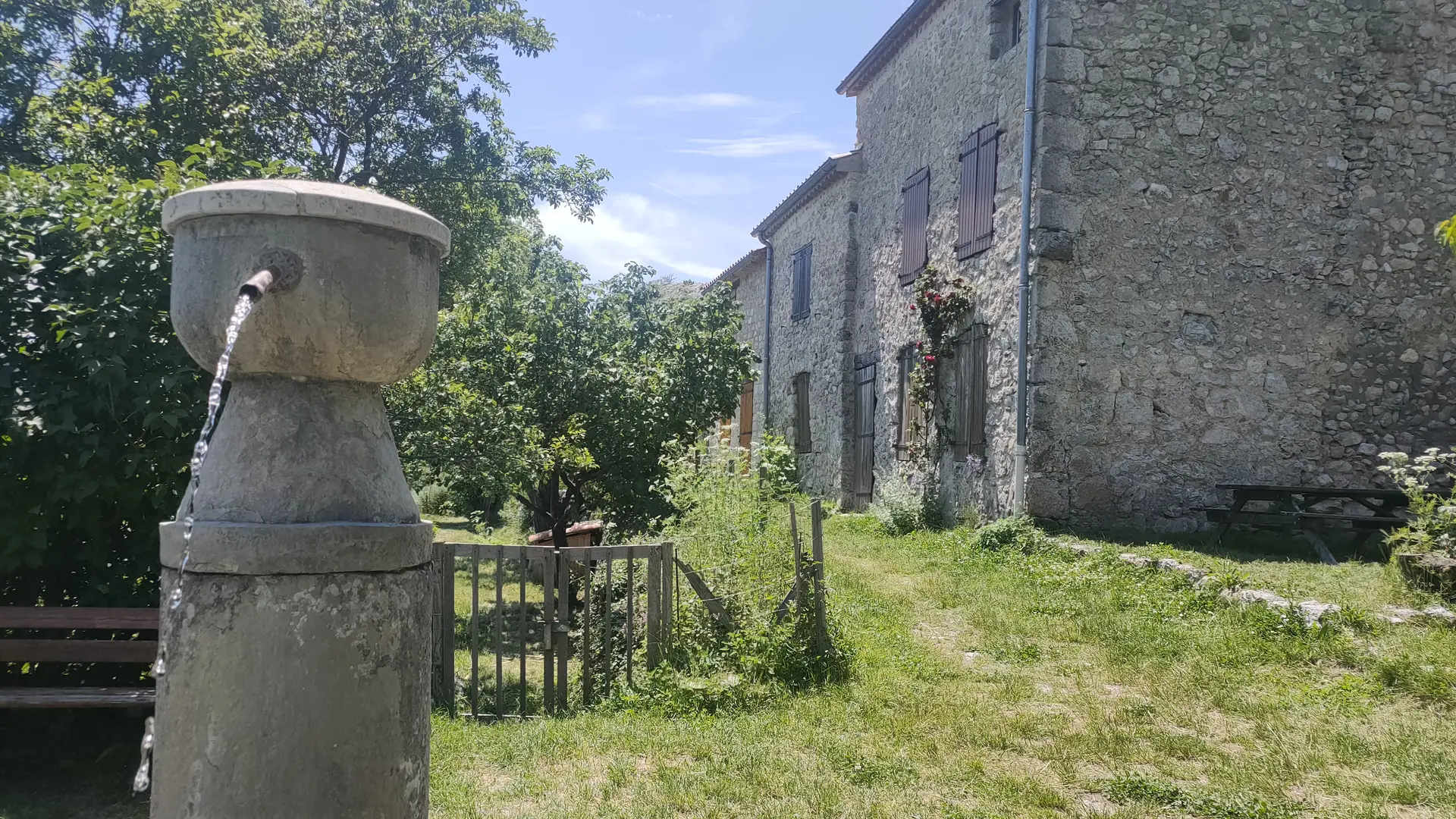
  • Nice loop passing through the old village of Poil and the ONF shelter of Blâches. Departure from the D17 departmental road at the place called Chabrejas. Beautiful route for a day hike in a remote and wild environment. Picnic recommended at Blâches or Poil (water points in both cases) for a guaranteed change of scenery.
  • Departure
    Majastres
  • Difference in height
    506.333 m
  • Environment
    • Forest location
    • In the country
  • Spoken languages
    • French
  • Documentation
    GPX / KML files allow you to export the trail of your hike to your GPS (or other navigation tool)
506 meters of difference in height
Created with Highcharts 6.2.0Distance (km)Altitude (m)0 km1 km2 km3 km4 km5 km6 km7 km8 km9 km10 km11 km900 m950 m1000 m1050 m1100 m1150 m1200 m1250 m1300 mHighcharts.com
  • Maximum altitude : 1242 m
  • Minimum altitude : 909 m
  • Total positive elevation : 506 m
  • Total negative elevation : -506 m
  • Max positive elevation : 103 m
  • Min positive elevation : -206 m
Services
  • Equipment
    • Free car park
    • Car park
Close