- From the Tourist Office, walk down Avenue du 16 septembre 1947 to the boulangerie des Merveilles.
- At marker 55 (next to the bakery), follow signs for L'Aigle-Col de Boselia, pass under the viaduct (marker 62) and continue along the path.
- At the L'Aigle monument, continue to climb towards Col de Boselia (marker 61, up to marker 60).
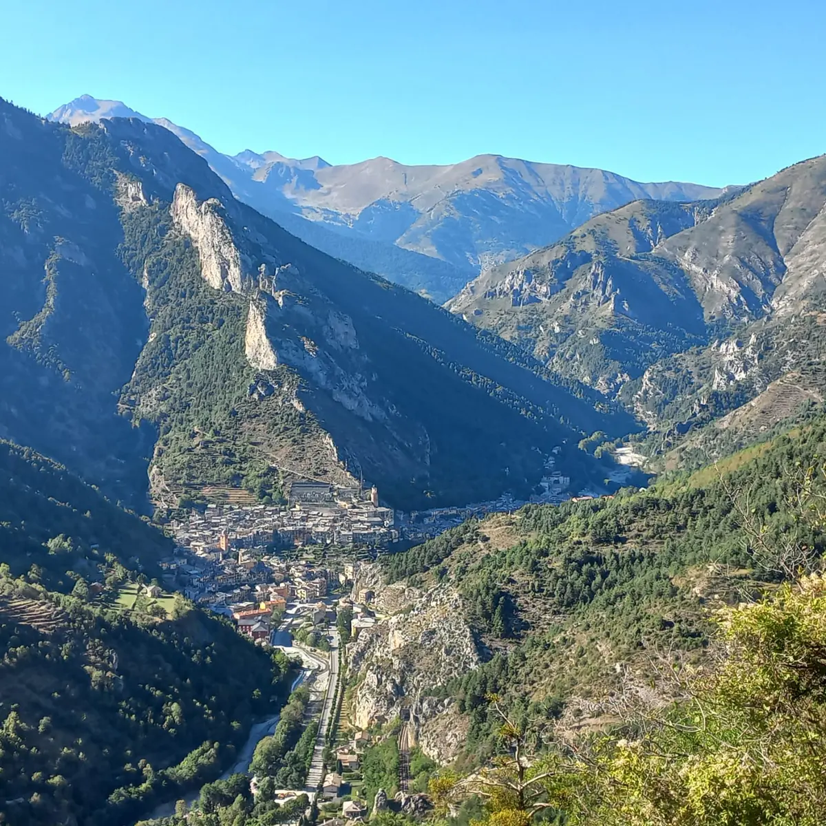
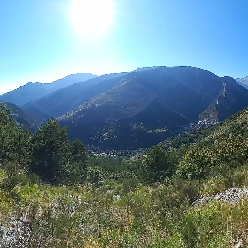
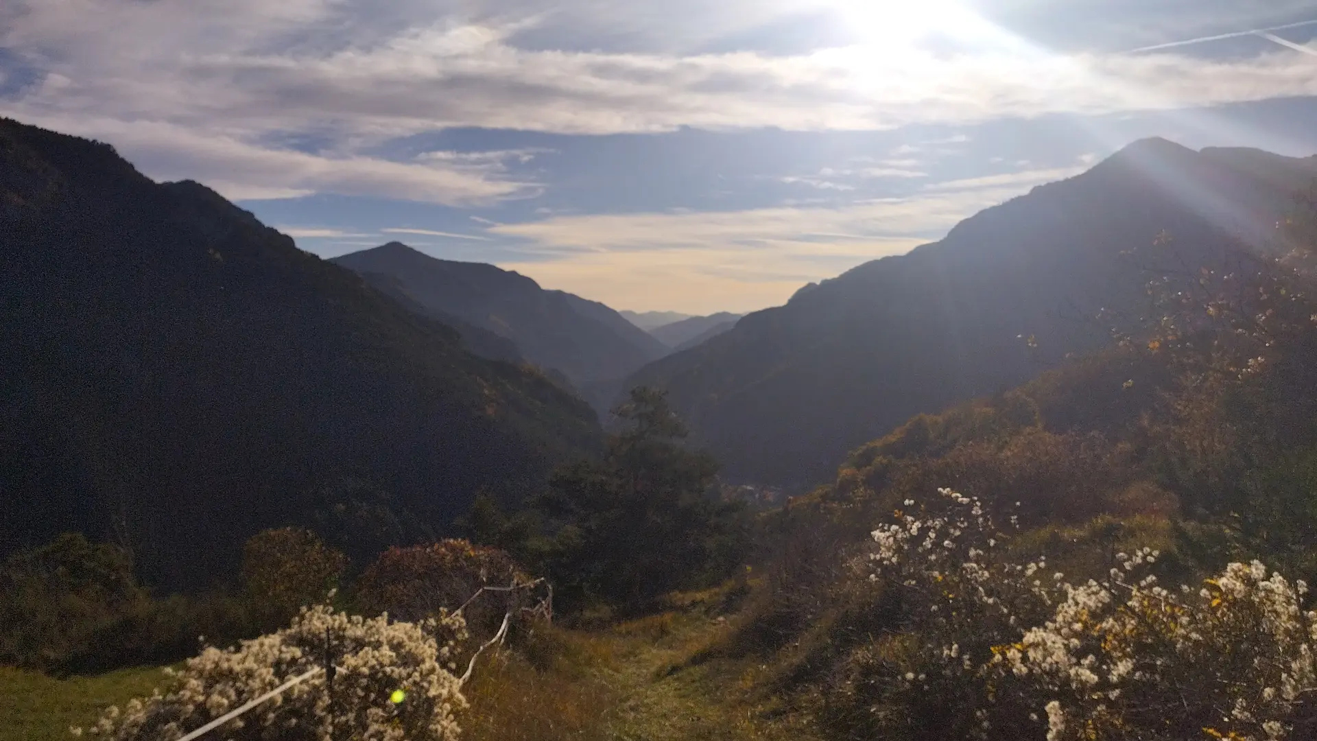
The Col de Boselia is in front of you, reached after a clear, sunny traverse. Turn around to see Tende below.
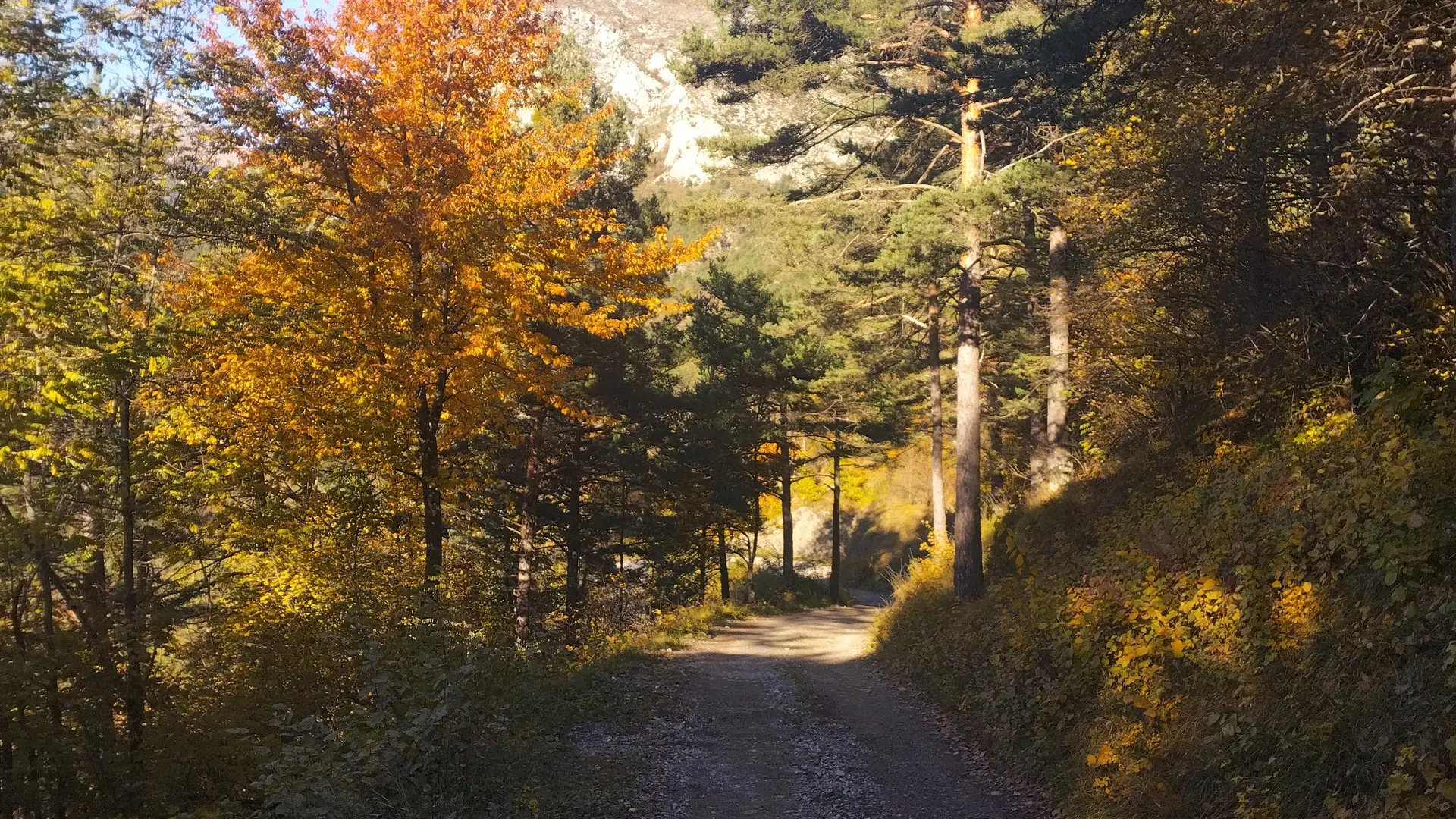
- At marker 285, follow the signs for Col de Lubaïra (on an undergrowth path), and at marker 51, descend to the road on the forest track.
Alternative:
At marker 285 (Col de Boselia): a path leads down to La Brigue in about 1 hour. Return to Tende by train or bus.
Tourism info: Lavender is grown above the Col de Boselia, used in particular to make essential oil.
Read more