See photos (3)

Hike from Fontan to Saorge

Sport, Pedestrian sports, Hiking itinerary in Fontan
Unresolved hours
3.6 km
2h
Quite difficult
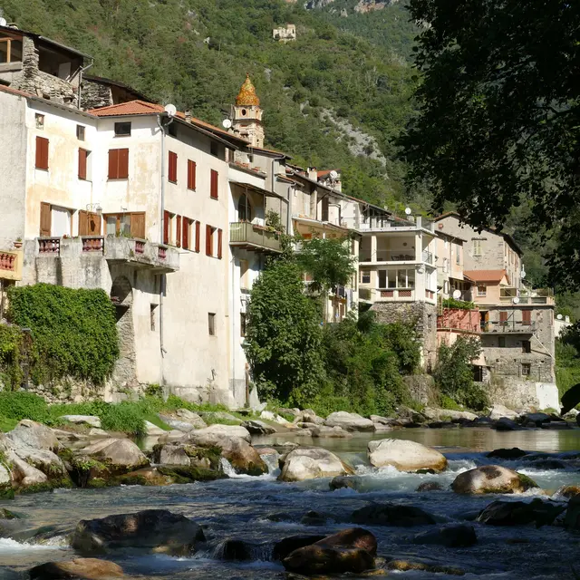
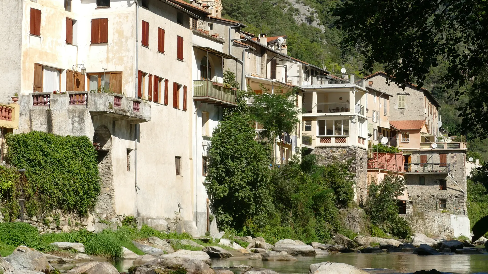
  • Nice short but quite sportive hike from Fontan to Saorge.

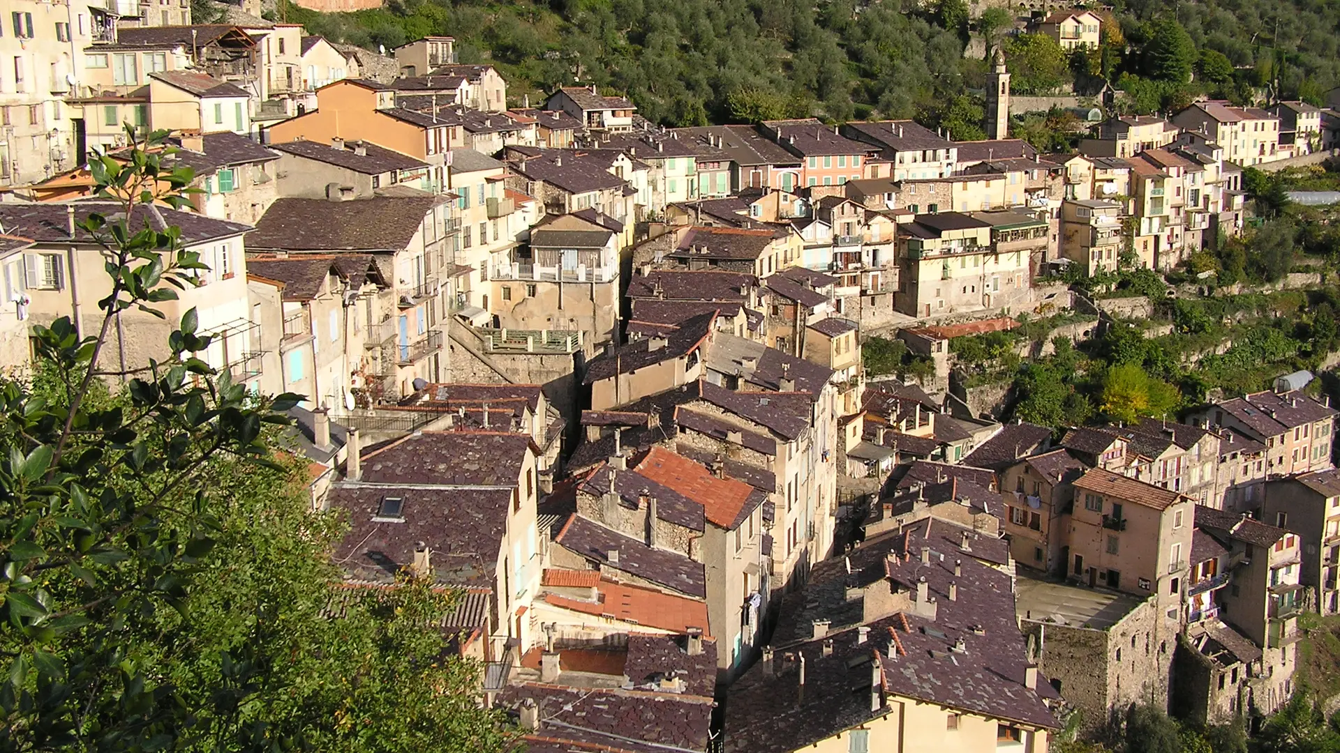
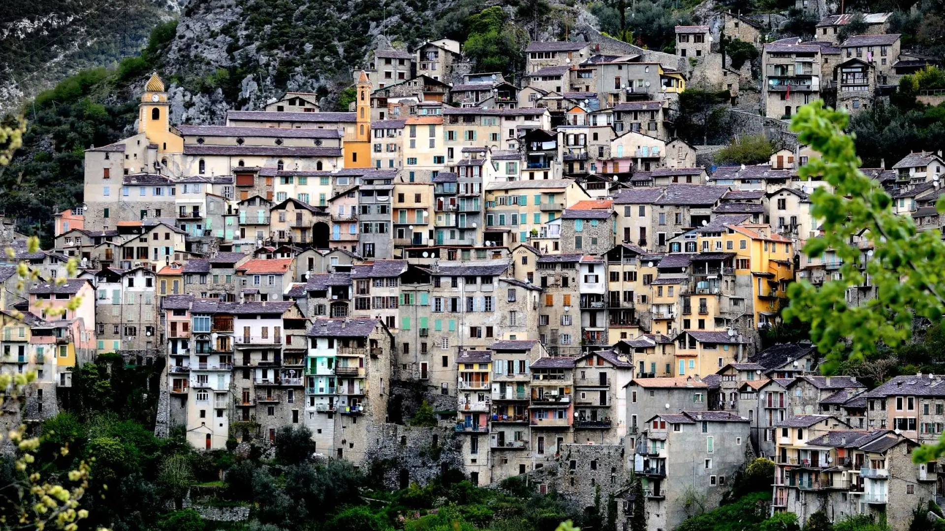
  • Cross the Tourette bridge, take the lane on the right, this lane is extended by a path that runs along the Roya. What a joy in the summer to take a break by the river. This path goes up on the left b 431 until the departmental road 38 towards SAORGE pass through a mini tunnel and, in front of the SNCF FONTAN-SAORGE station. You will find a narrow and winding path which leads to the b 430. Go back down to Saorge via the Valléen path b 23. A magnificent panorama over Fontan, Saorge and the valley.
458 meters of difference in height
Created with Highcharts 6.2.0Distance (km)Altitude (m)0 km0.25 km0.5 km0.75 km1 km1.25 km1.5 km1.75 km2 km2.25 km2.5 km2.75 km3 km3.25 km3.5 km400 m500 m600 m700 m800 m900 m1000 mHighcharts.com
  • Maximum altitude : 883 m
  • Minimum altitude : 424 m
  • Total positive elevation : 458 m
  • Total negative elevation : -336 m
  • Max positive elevation : 402 m
  • Min positive elevation : -19 m
Services
  • Services
    • Pets welcome