Nice hike from Roquebrune to Gorbio, discovering on the route various natural and cultural curiosities such as the thousand-year-old olive tree, the medieval castle or the Lascaris castle.
Departing from the Roquebrune tourist office, head towards the Saint Joseph church to reach the Decazes stadium on the right. Just after a flight of steps leads to the Chemin de Menton.
This path winds between private properties and the first chapel of La Pausa.
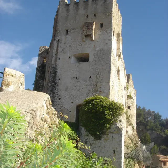
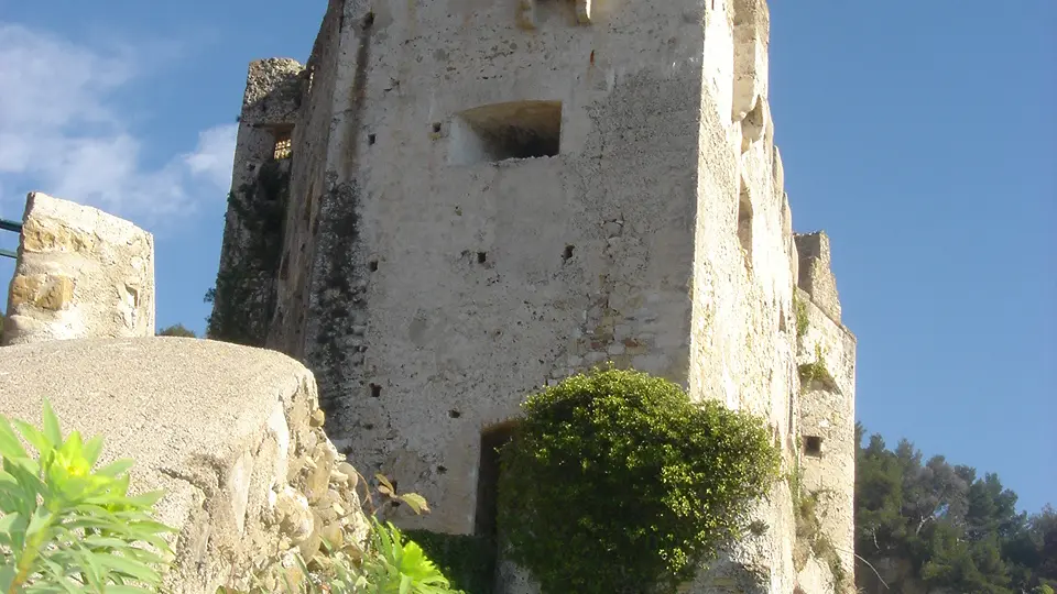
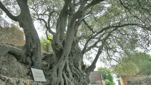
Further on, the Saint Roch chapel on the left, where you can see the thousand-year-old olive tree, pass under the entrance porch of the village, under the old prison and the place du Capitaine Vincent.
Take the opportunity to take a tour of this pretty village and fortress. Going back down, turn left and descend by donkey steps to the bottom. A climb that runs alongside the bouliste club allows you to retrieve the GR51 for the ascent to Gorbio.
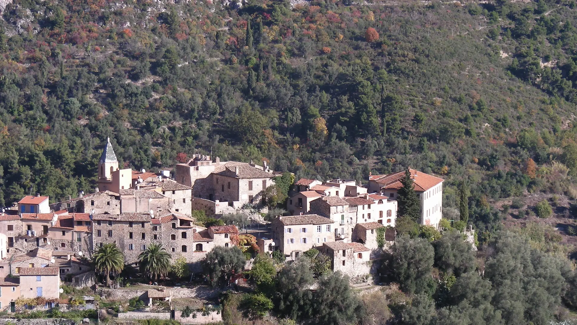
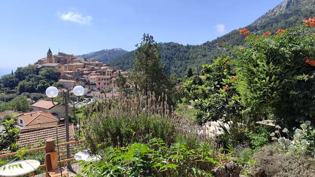
The trail climbs to below the kennel club, then you join the Mont Gros road after a few switchbacks, you can already see the village of Gorbio.