
See photos (2)
Hiking at Lac Agnel
Sport, Pedestrian sports, Hiking itinerary
in Tende
13.5
km
5h
Hard
-
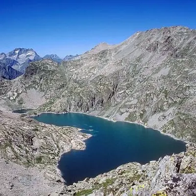
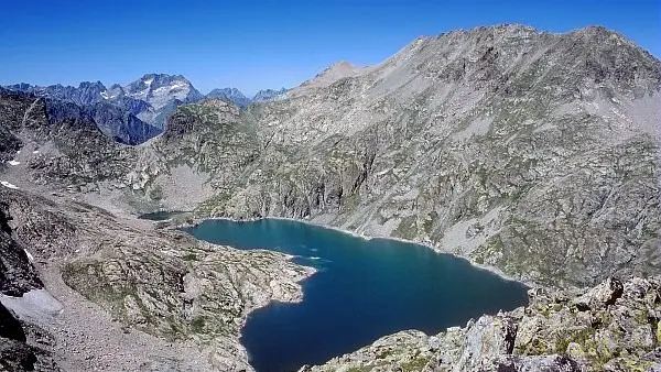
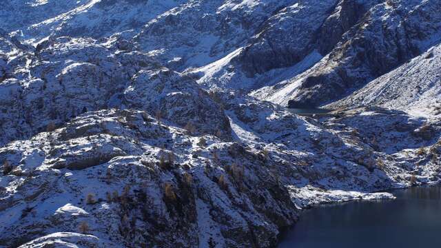
Le cirque glaciaire de l'Agnel, écrin de l'un des plus grands lacs du massif, offre un panorama sompteux sur les cimes de l'Argentera, point culminant du massif et cœur du Parco Alpi Marittime.
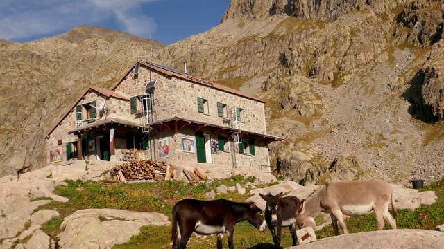
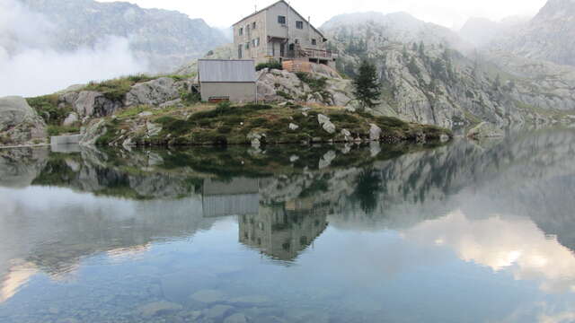
-
From the Pautamon parking lot (marker 394), take the track towards the Valmasque refuge. After a 30-minute walk, the trail joins the torrent; a signpost indicates the Lac Agnel trail (marker 393) on the right.
On the way up, cross the "combat zone": the area at the limit of tree growth. The atmosphere becomes increasingly mineral. After 2h30 of walking, the Agnel glacial cirque comes into view.
Some will no doubt be able to admire the lord of the peaks: the ibex. For the more experienced...From the Pautamon parking lot (marker 394), take the track towards the Valmasque refuge. After a 30-minute walk, the trail joins the torrent; a signpost indicates the Lac Agnel trail (marker 393) on the right.
On the way up, cross the "combat zone": the area at the limit of tree growth. The atmosphere becomes increasingly mineral. After 2h30 of walking, the Agnel glacial cirque comes into view.
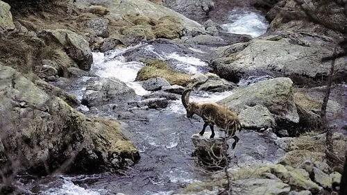
Some will no doubt be able to admire the lord of the peaks: the ibex. For the more experienced hiker, there's the Pas de l'Agnel pass on the border with Italy and the Parco naturalle Alpi Marittime. To do this, walk along the lake and then climb up to this obvious pass.
From here, a splendid panorama awaits you: Mt Clapier (3045m), Cime du Gélas (3143m), and Argentera (3297m). Return by the same route.
- Departure
- Tende
-
-
Difference in height
- 1339.98 m
-
-
- Go past the hamlet of Casterino and continue for about 2.5 km to reach a place called "Potamou". The hike starts at the Mercantour National Park entrance signs (marker 394).
-
-
Plain text period
-
All year round.
Subject to favorable snow and weather conditions.
-
-
-
Environment
-
- See all reviews
- 1340 meters of difference in height
-
- Maximum altitude : 2437 m
- Minimum altitude : 1710 m
- Total positive elevation : 1340 m
- Total negative elevation : -808 m
- Max positive elevation : 485 m
- Min positive elevation : -481 m