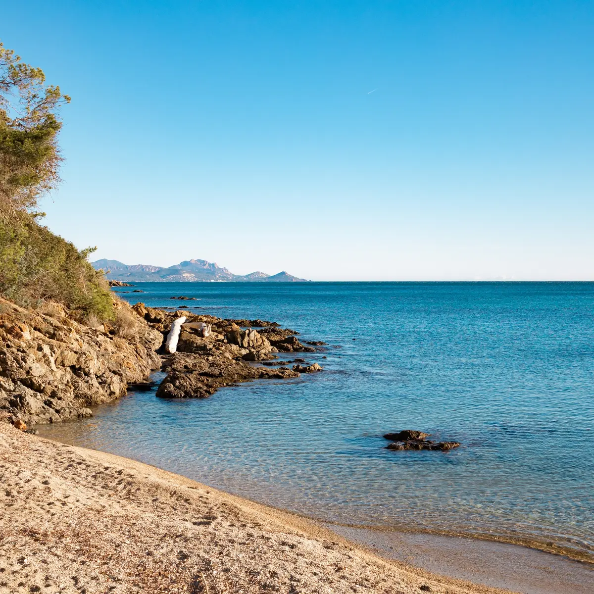
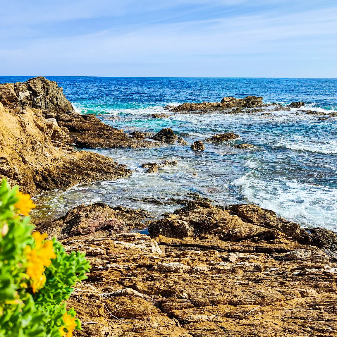
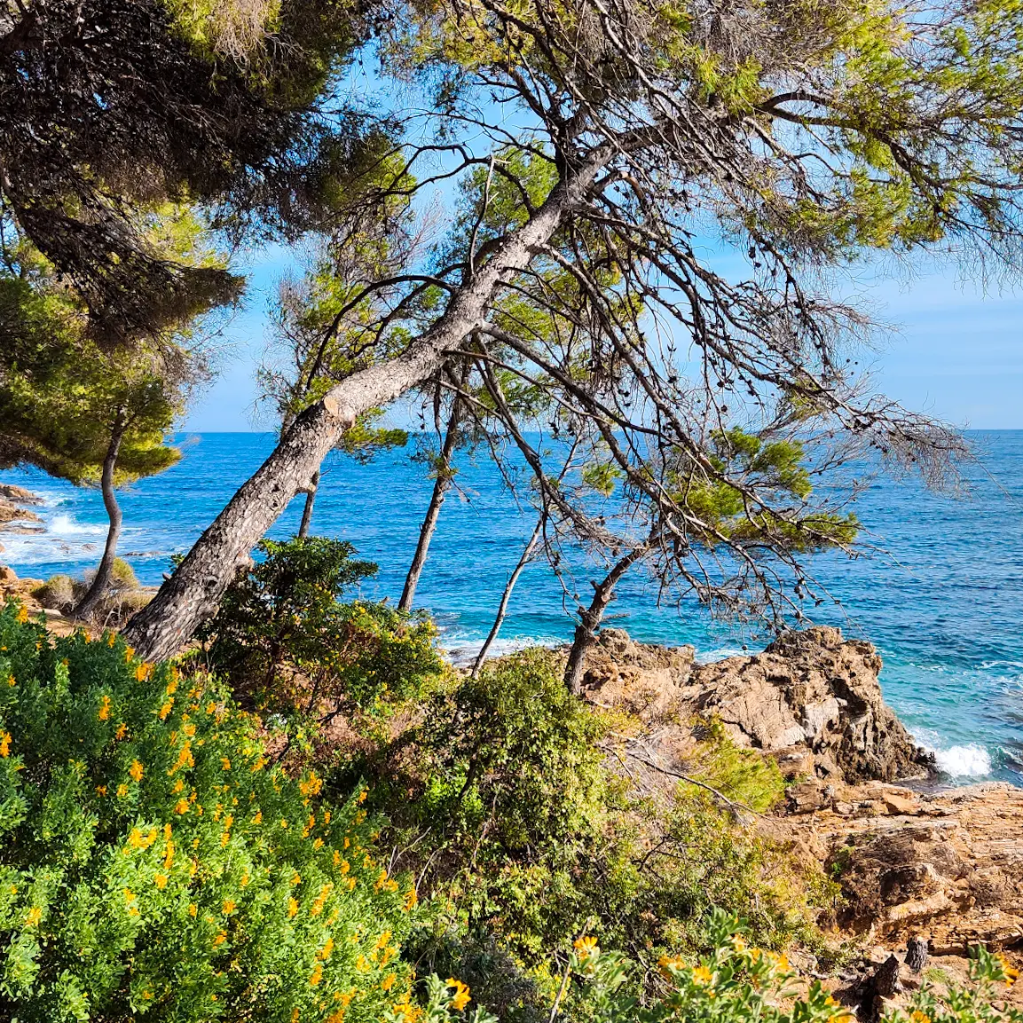
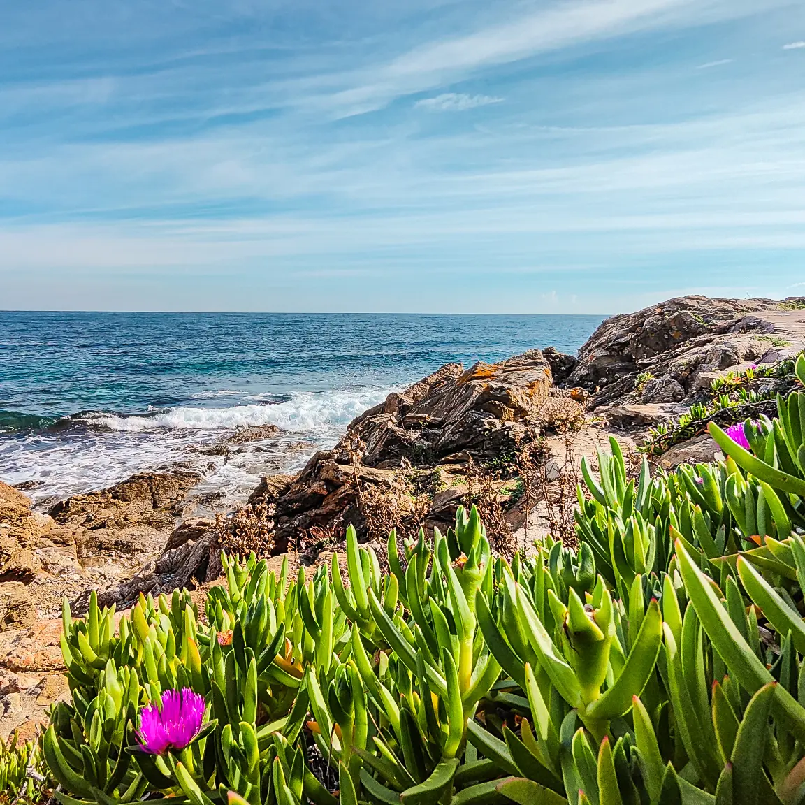
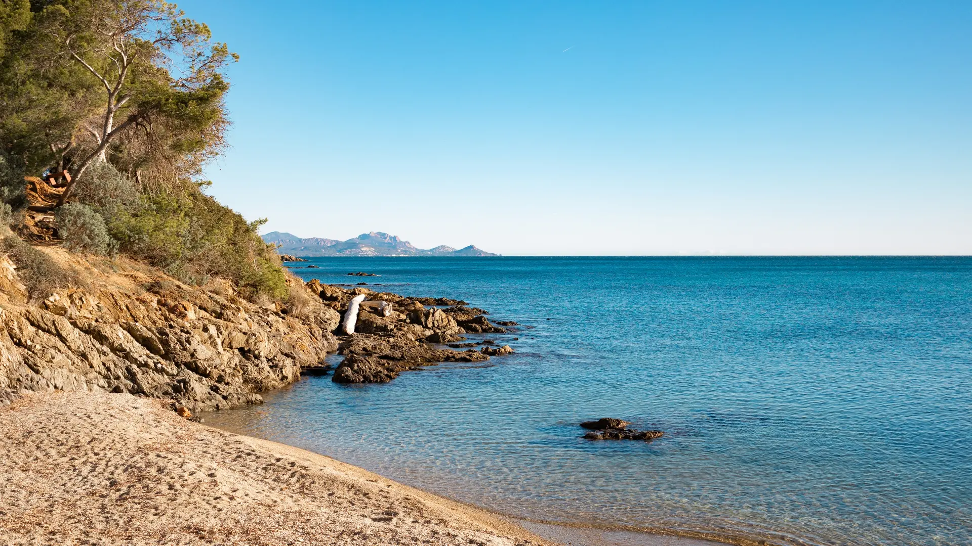
This trail was created under the Second Empire and used during the Revolution by customs officers monitoring the Var coastline. Nowadays it takes you exploring sandy beaches, coves and creeks.
> ACCESS
From Saint-Raphaël, take the D559 towards Saint-Tropez.
Once in Les Issambres, turn left on avenue de la Jetée, a Casino supermarket is on the side of the road.
Park in the Arpillon car park at the end of the avenue.
> STARTING POINT
GPS coordinates: 43.340362, 6.694415
San Peïre beach. You can park in the Arpillon car park
> ITINERARY
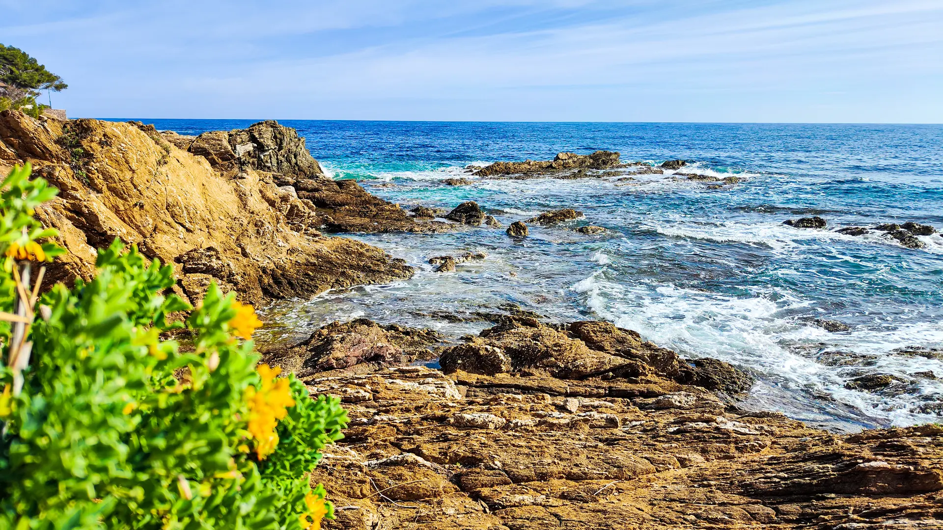
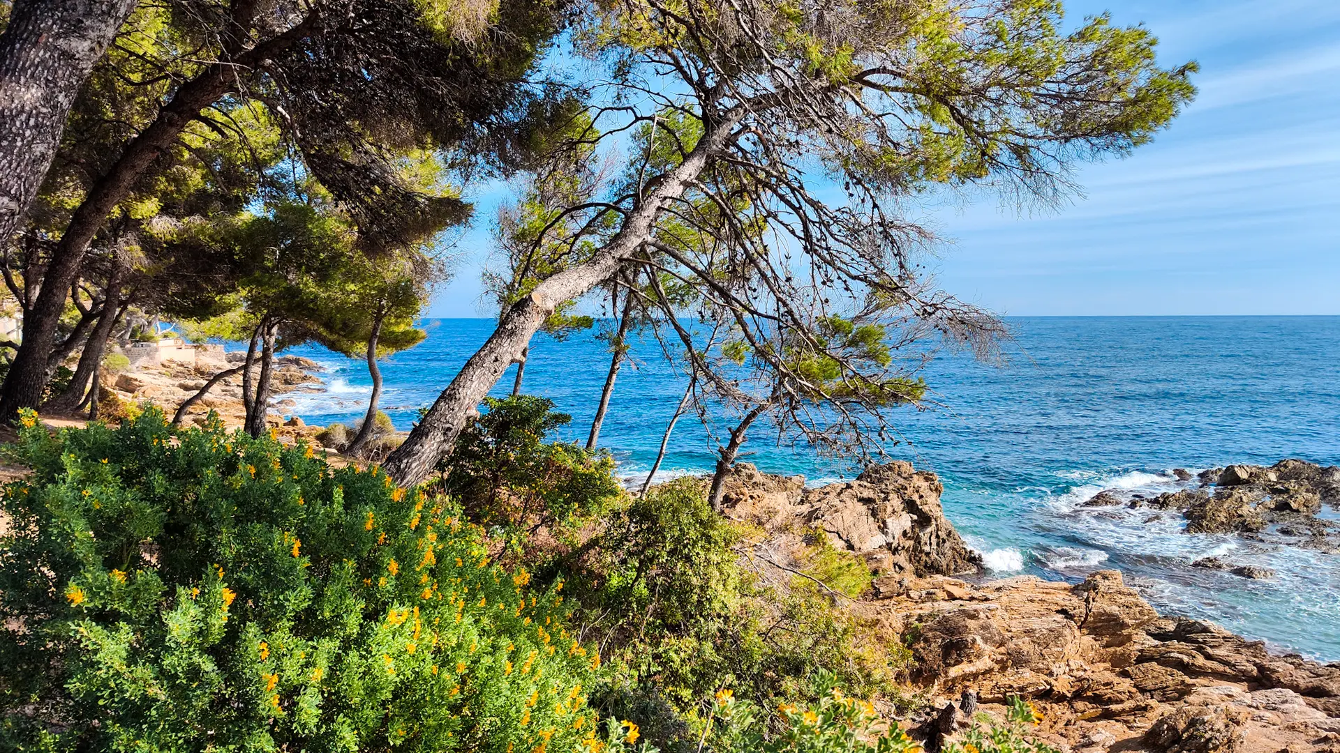
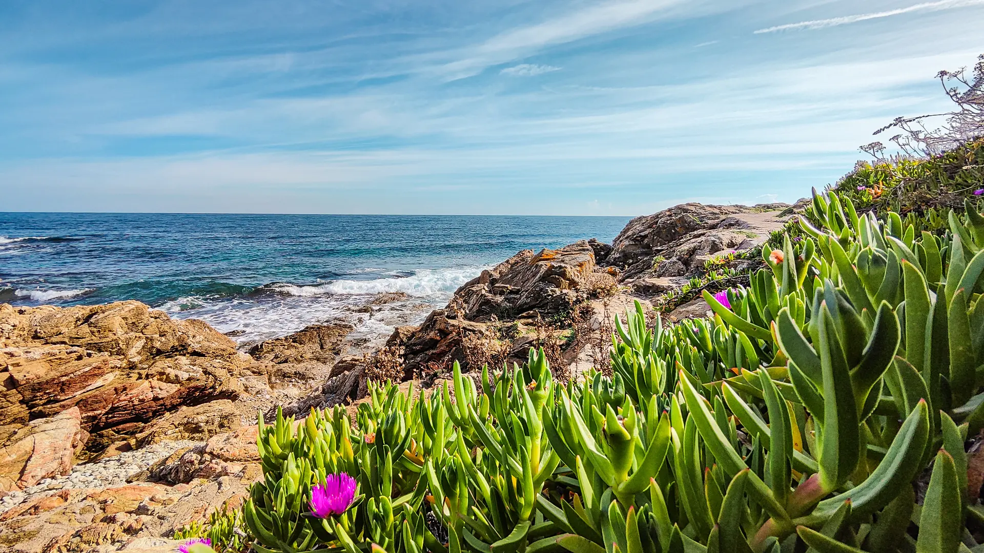
At San Peïre beach, go to your left towards Saint-Raphaël and follow the coast. Take a narrow stone path, then cross the beaches and the creeks. Arrival is at Pointe de la Calle.
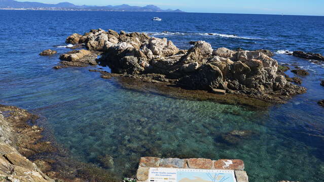
This path leads to the Gallo Romain fishpond, classified as a historical monument, which was used to catch fish and keep them fresh for market days or major Roman festivals.
> Attention! Some slippery passages.
Read more
Tips
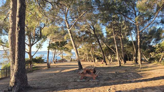
- Picnic tables in the shade of the parasol pines
- One of the best known examples of a Gallic fish reservoir in France
Plain text period
All year round daily.
BE CAREFUL : from June 21 to September 20, access to all the Var forest areas is regulated according to the forest fire danger level set daily by the Var prefecture.
Remember to consult the opening map of the massifs before leaving (updated the day before for the next day) on the Var prefecture portal: http://www.var.gouv.fr/acces-aux-massifs- forestiers-du-var-a2898.html.