HANDICAP-ACCESSIBLE FACILITIES :
- The first 3 km of the course are relatively flat: 4% gradient
- The last km is not accessible (stop at Col du Mistral).
> ACCESS
Access by vehicle: Follow the seafront towards Agay. At the Agay traffic circle, follow signs for "Massif de l'Estérel". Drive under the small railroad bridge, past the industrial estate and immediately afterwards, turn right onto the small road signposted "Massif de l'Estérel". Past the Gratadis forest house, turn left towards "Col de Belle Barbe" ("H39 Castelli" road). Continue to the barrier that closes the dead-end road. You can park here.
> STARTING POINT
GPS coordinates: 43.458051, 6.866103
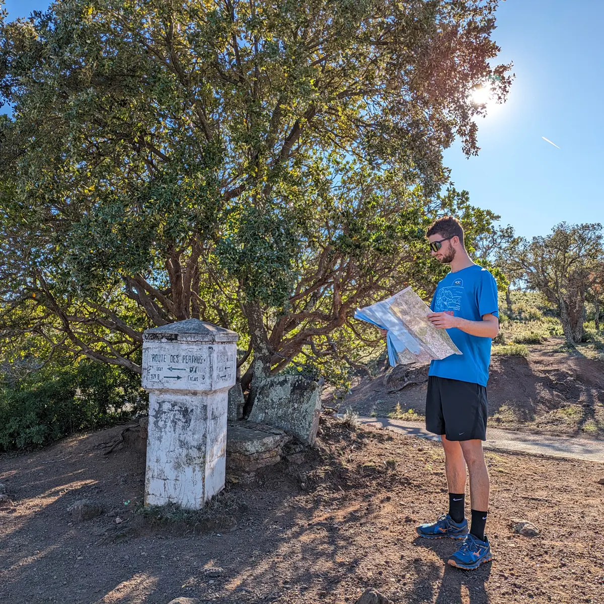
> ROUTE
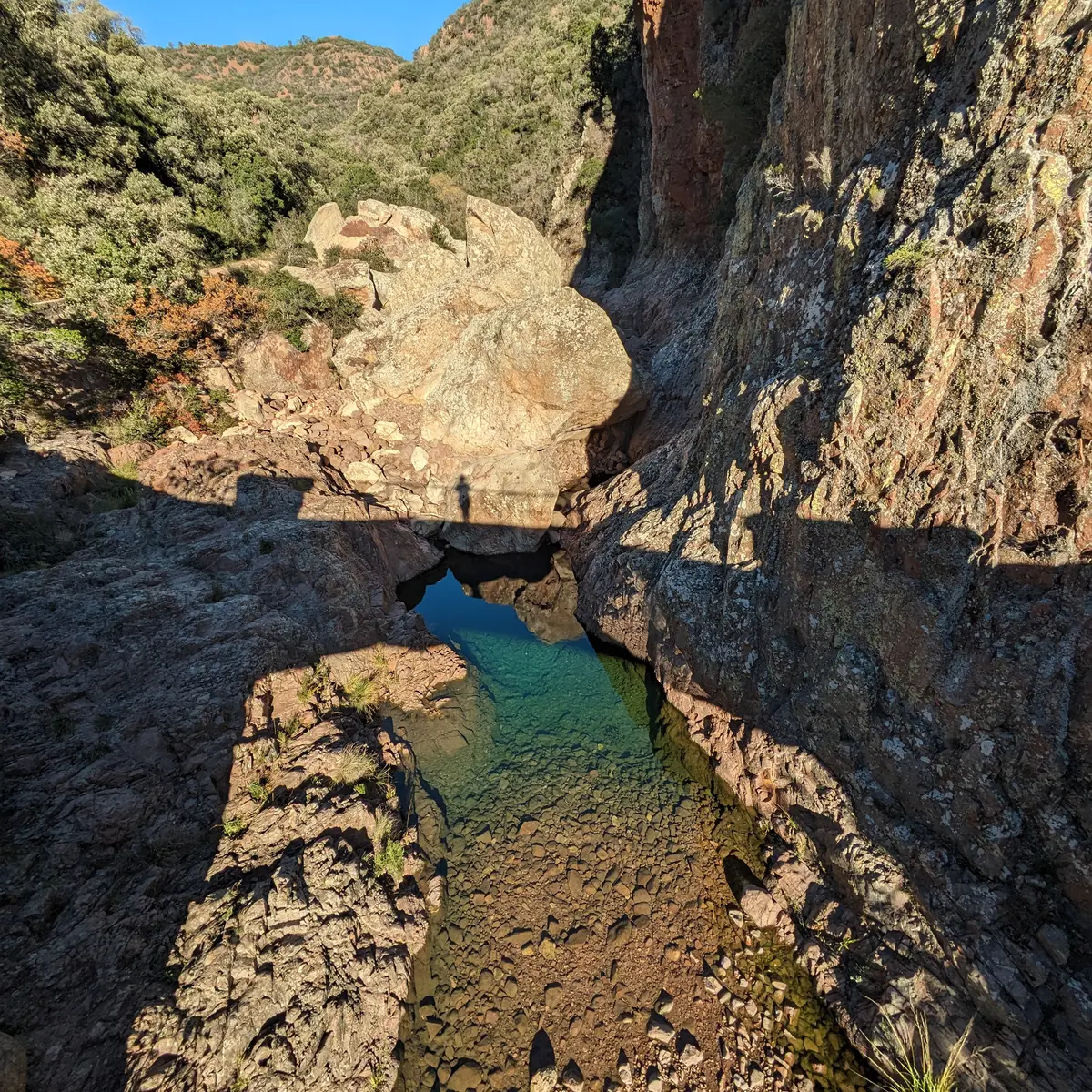
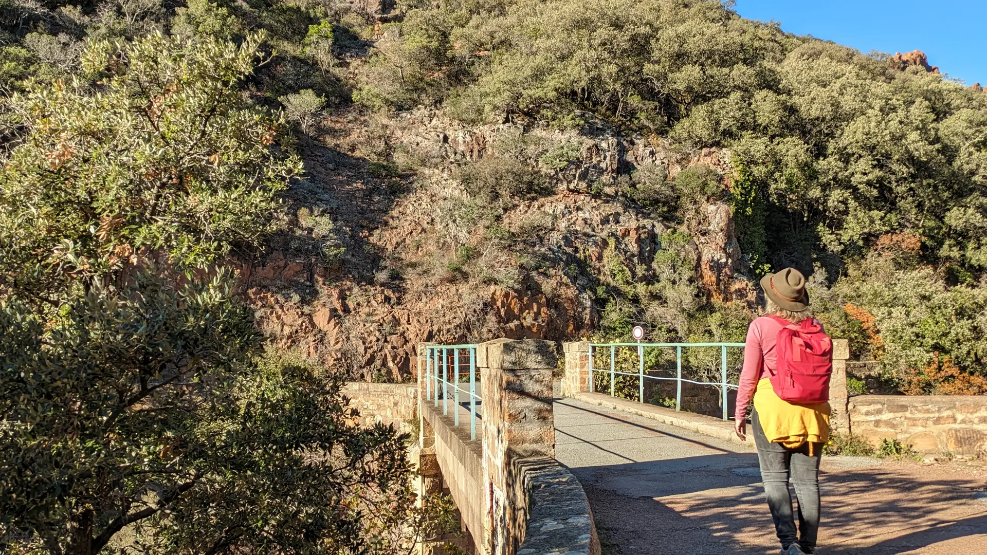
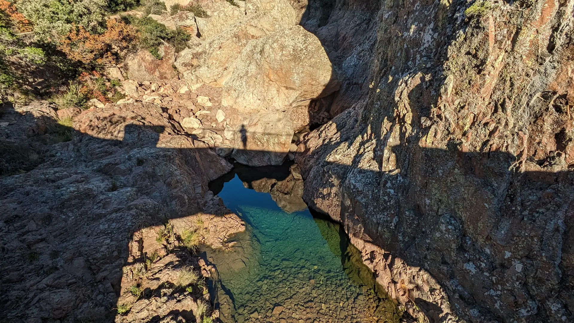
After the barrier, continue on the asphalt road. At the Col du Mistral traffic circle, turn left down the forest road. The road descends as far as the Pont du Perthus, where a pretty river flows by, and you can admire the water flowing into magnificent basins.
Turn around and take the same route back to your starting point.
You can also extend the walk as far as the Roussivau forest house (1h additional round trip).
Read more