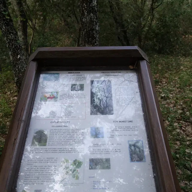
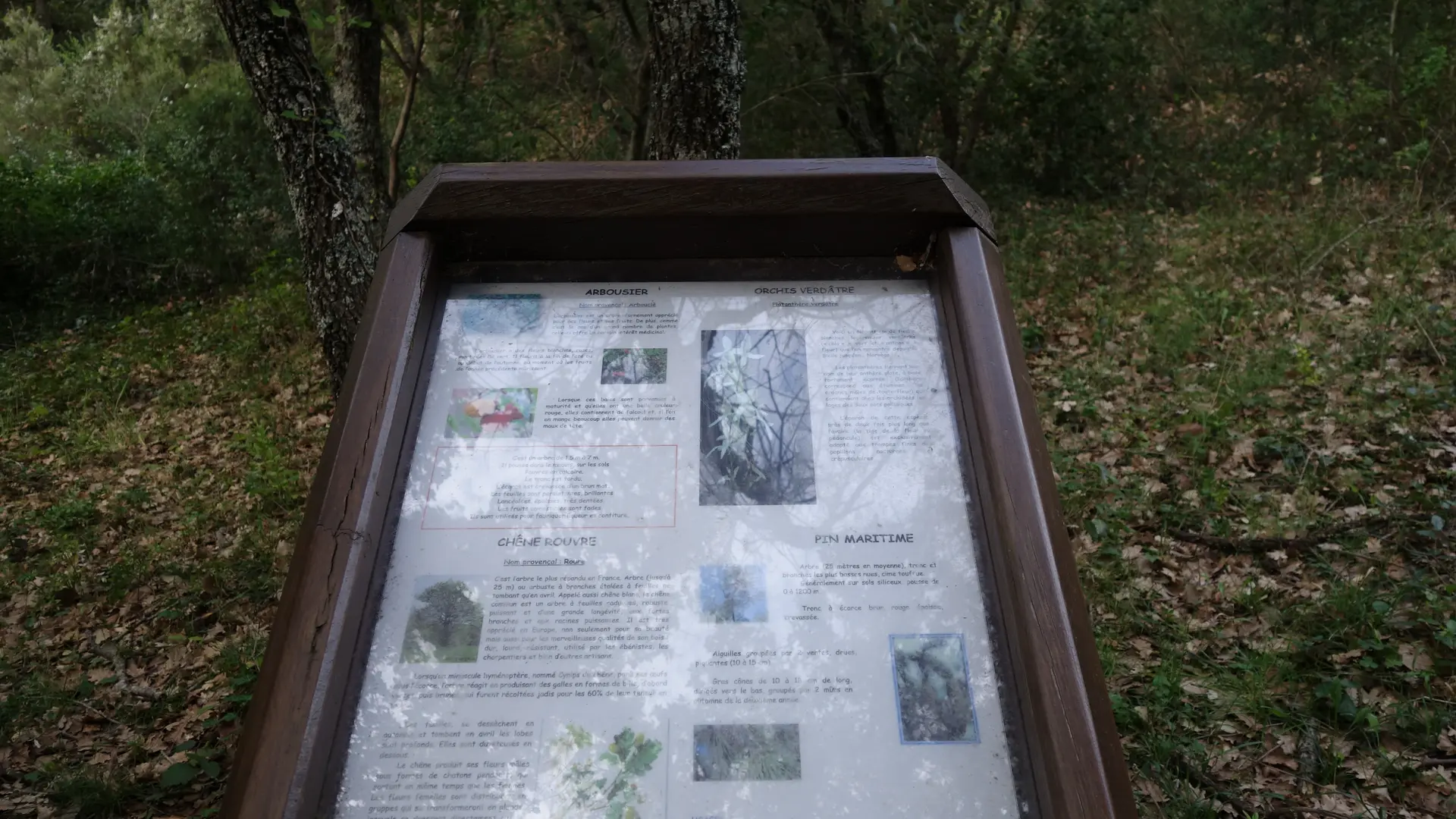
Les boucles de l'Arlatane offer you a walk in the forest of Provence over 2 miles. Throughout the course you will find botanical panels describing the plant species of the Saint-Tropez peninsula.
Les boucles de l'Arlatane offer you a walk in the forest of Provence over 2 miles. Throughout the course you will find botanical panels describing the plant species of the Saint-Tropez peninsula.
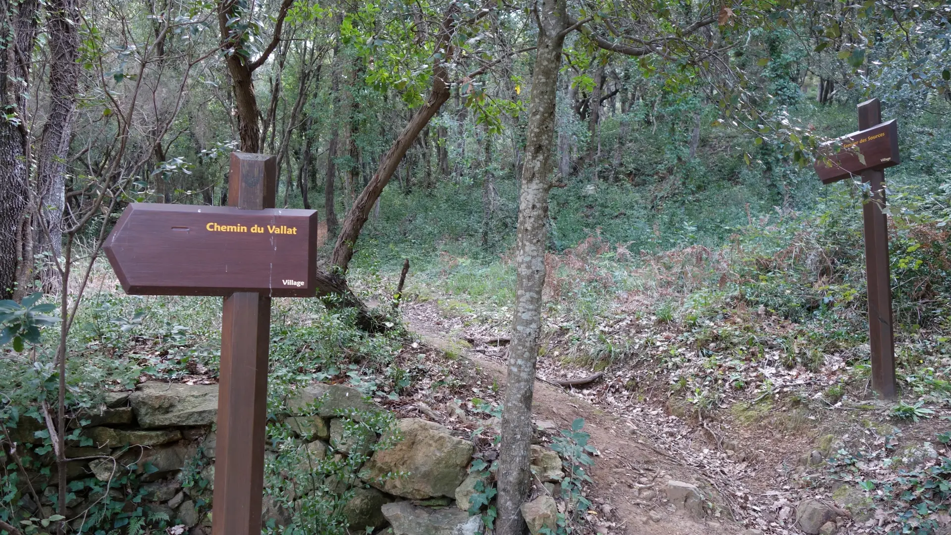
The Arlatane loops consist of four paths: that of the Sources, which links the village to the source of Arlatane, that of Valat
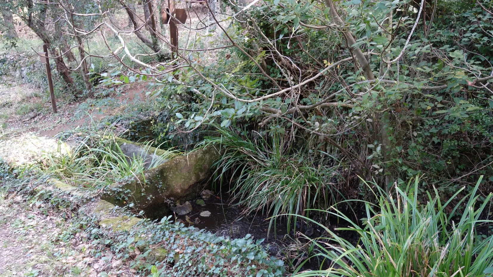
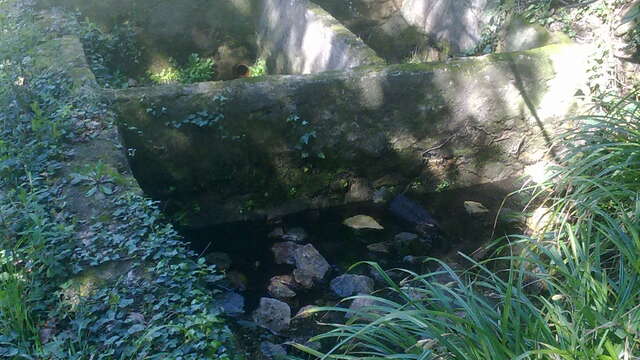
offer you a walk in the forest of Provence over 3.5 km. Throughout the course you will find botanical panels describing the plant species of the Saint-Tropez peninsula. You will also discover the source of the Arlatane and its adjacent washing machine.
Hiking Les Boucles de l'Arlatane
Difference: 230 m
3.5 km
60 min
"Au coeur des Sentiers", available free of charge at the tourist office of Gassin. Map IGN Saint-Tropez Sainte-Maxime Massif des Maures - IGN 3545OT (10€, Leclerc Cogolin)