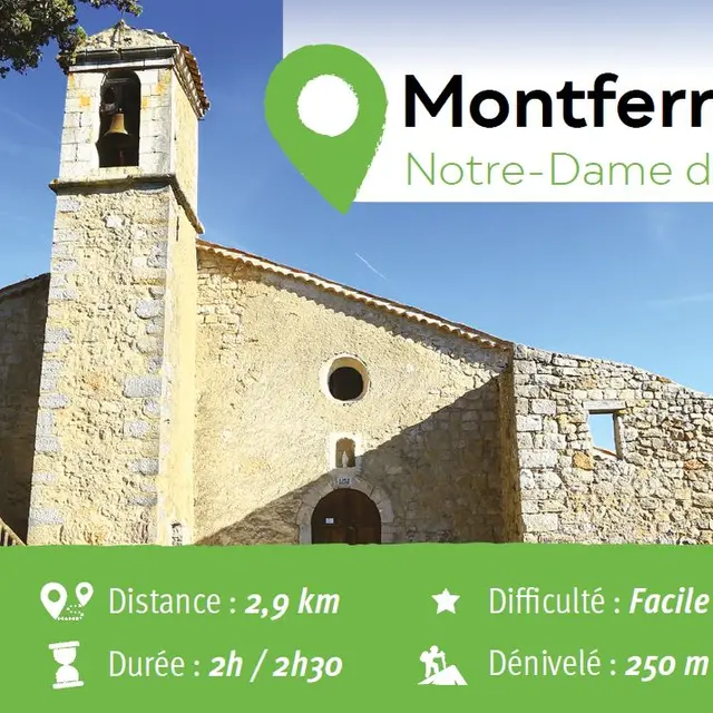
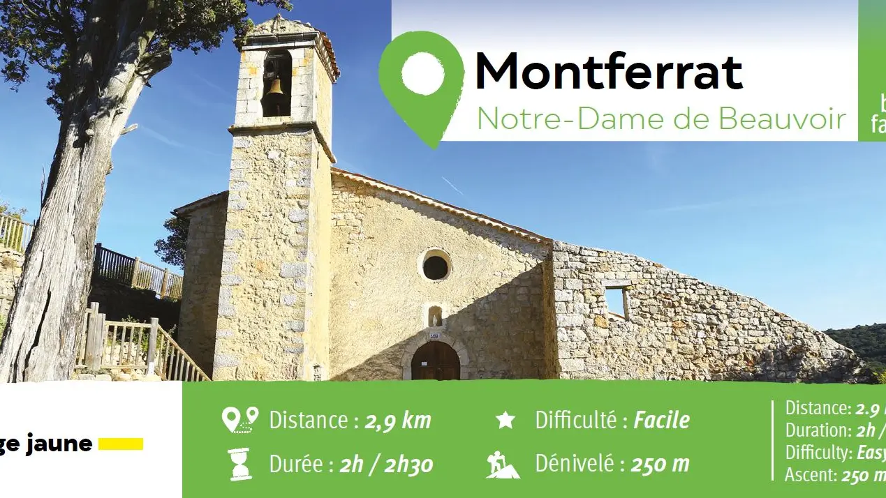
• Family outing
• 1.79 miles
• From 2 to 2.5 hours
• Ascent: + 250 meters
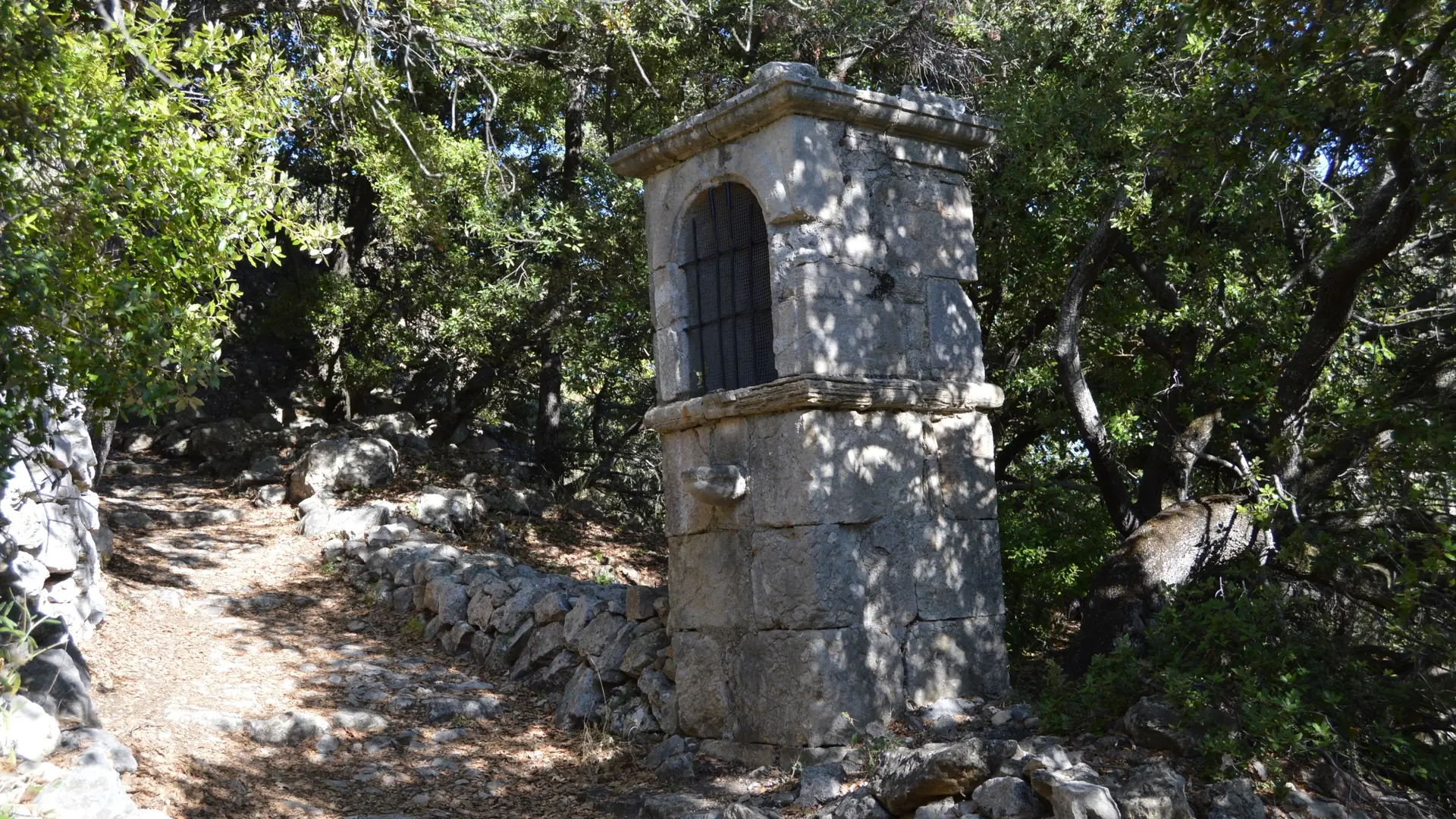
• Waymarked trail (yellow orientation arrows)
•You find the carpark just at the entrance of the village, above the stadium
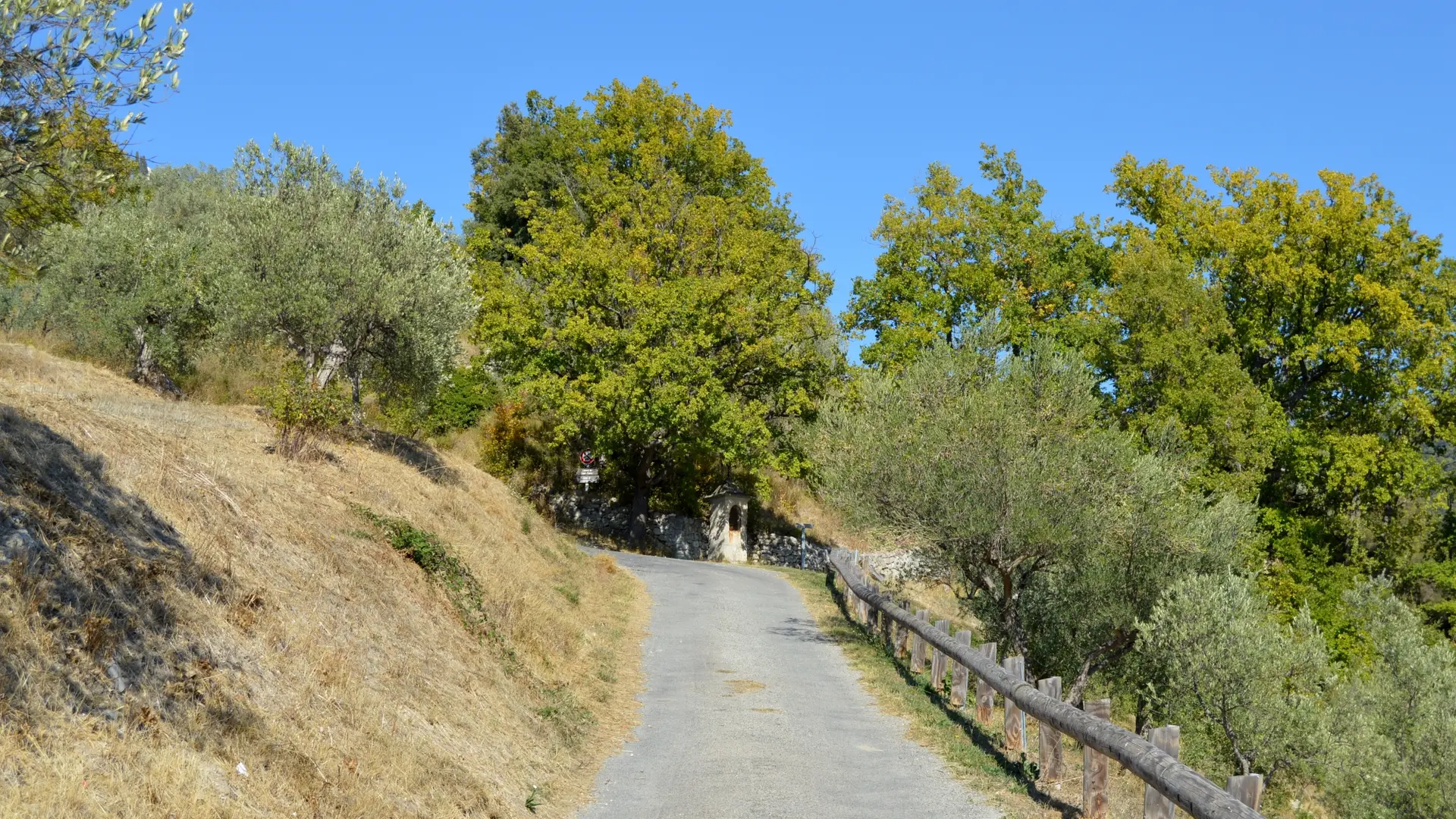
•From the carpark, follow the so called “Route de Draguignan” road heading uphill and continue on Doctor Rayol street.
•Once you have reached “Placette de la Fontaine” square, take a right turn onto “Rue du Four” street and climb the stairs up to the townhall square.
•Continue to follow “Rue du Collet”Street and then go onto “Notre Dame” pathway
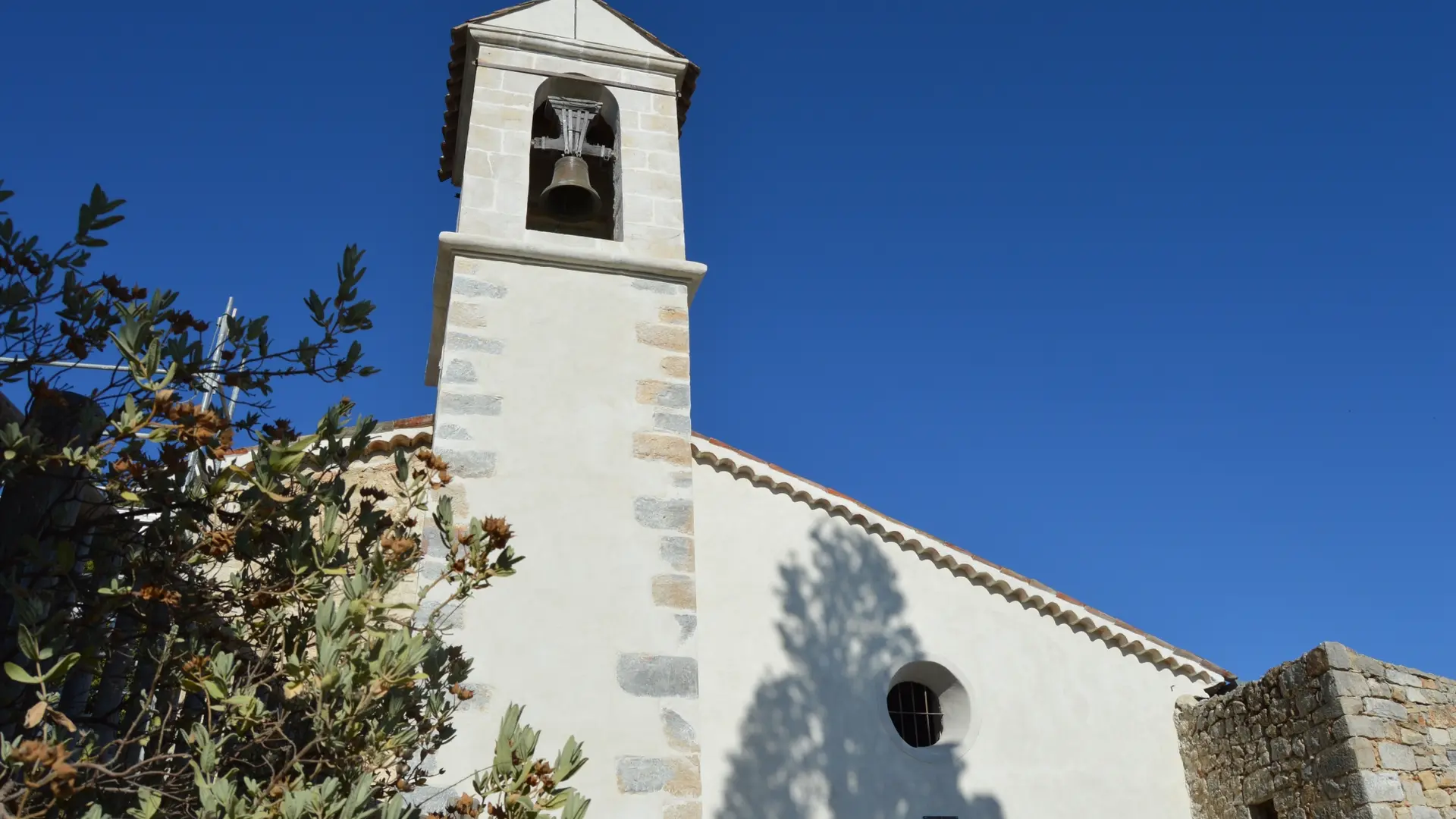
•Walk across “Gilbert Mouret” square, take a sharp left turn and follow the street going uphill up to Notre Dame de Beauvoir Chapel.
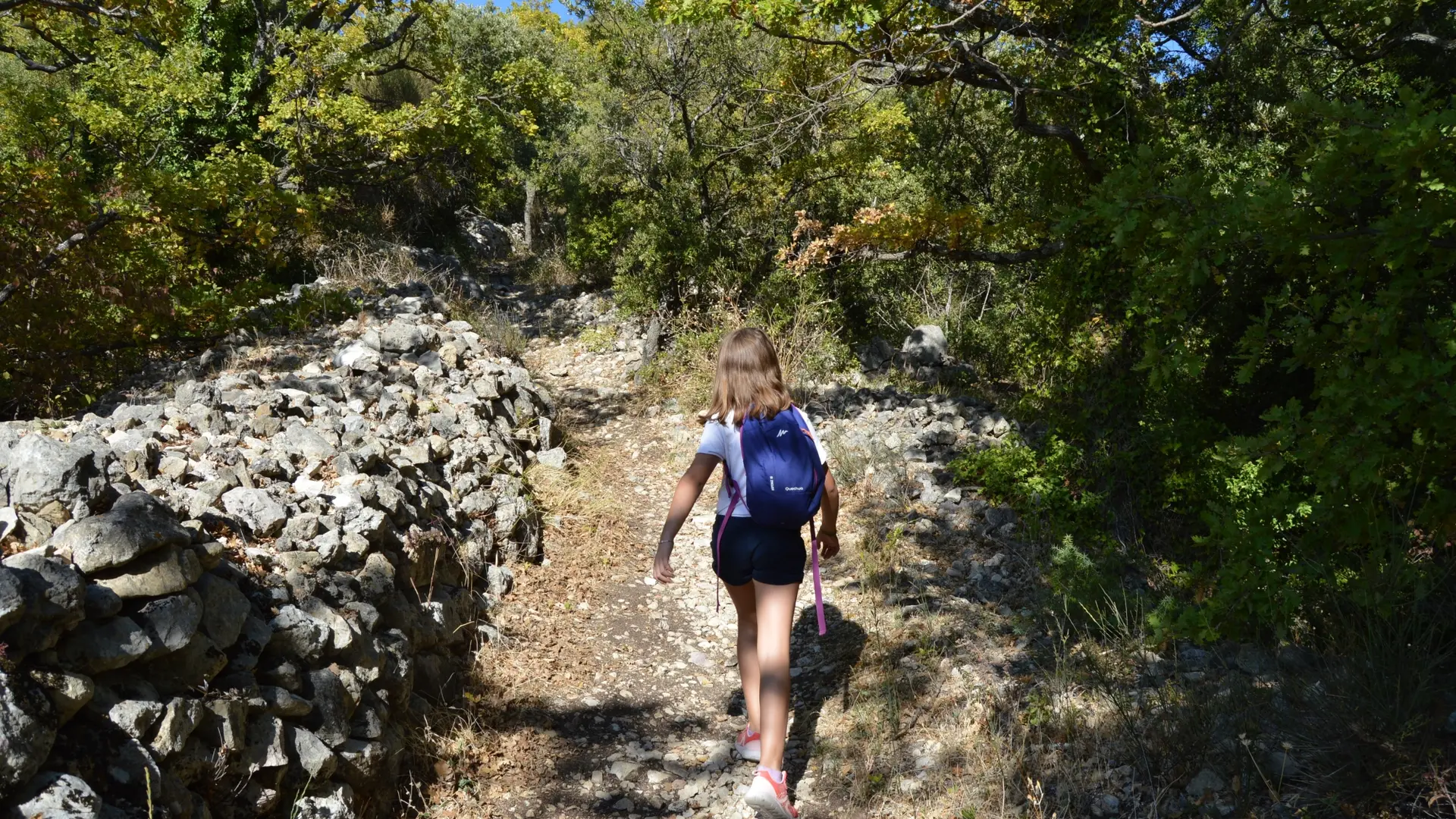
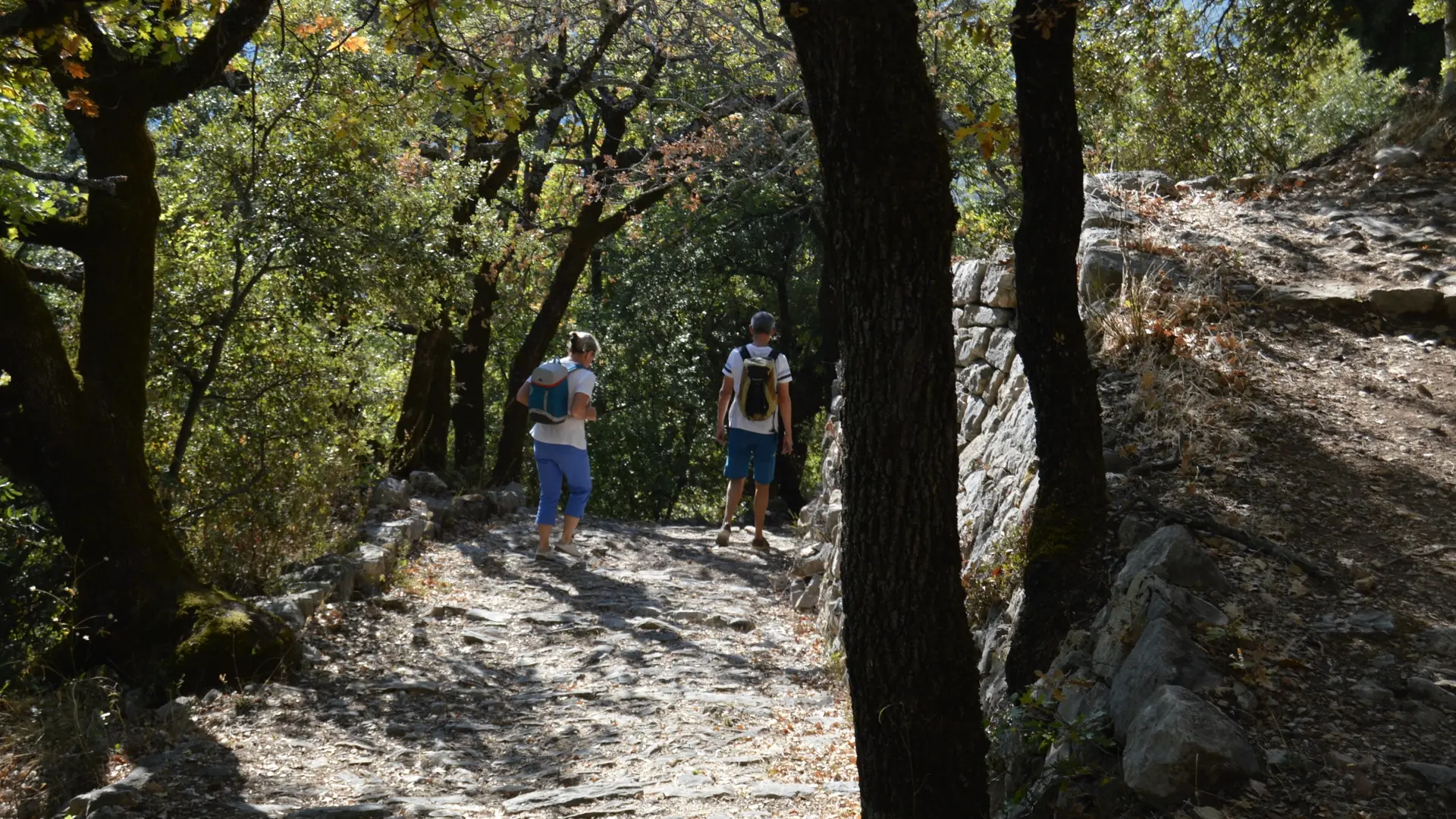
•You can pause to admire the sceneries. From the chapel, retrace your steps and after about 272 yards, turn right. Walk downhill until you reach a oak-hickory forests and a waymarked trail.
•Turn a sharp left turn and head uphill up to the top of the village.
•Then follow “Doctor Rayol” street heading downhill until “Place de l’Horloge” square is met. Head back to the car park.
Read more