See photos (7)

Hiking Panoramas of the Gulf of Saint-Tropez and the Bay of Cavalaire

Sport, Pedestrian sports, Hiking itinerary in Gassin
Unresolved hours
16.9 km
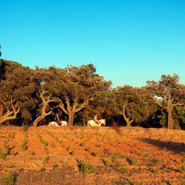
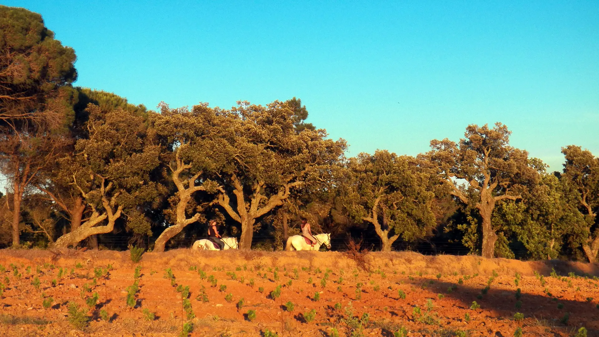
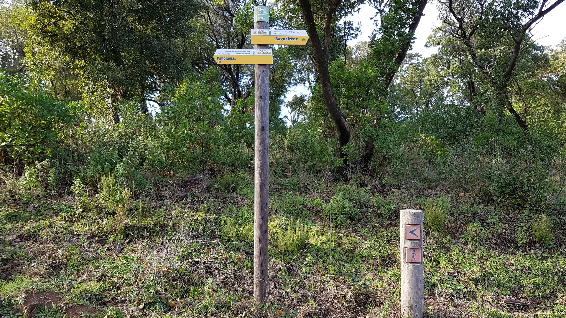
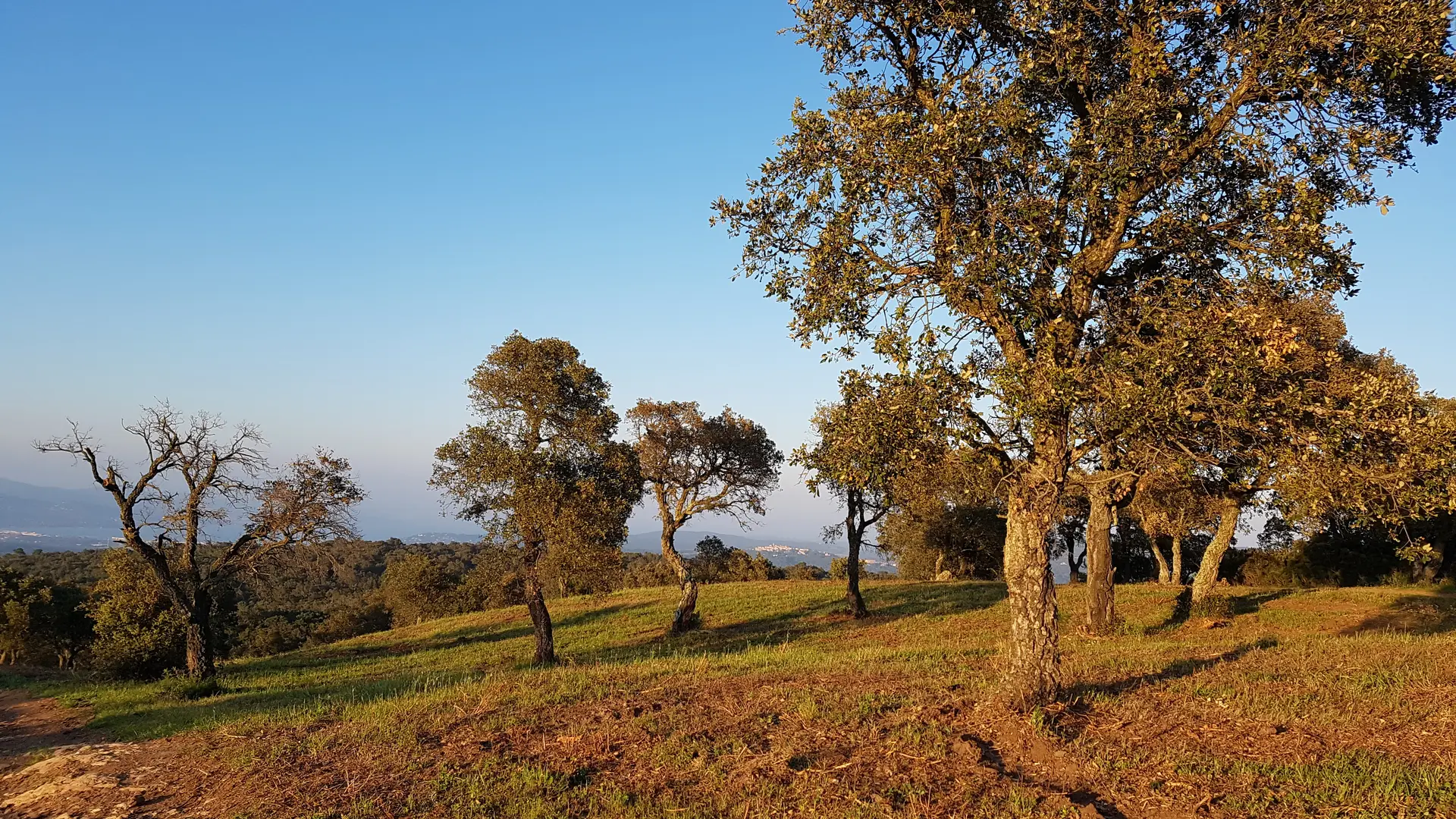
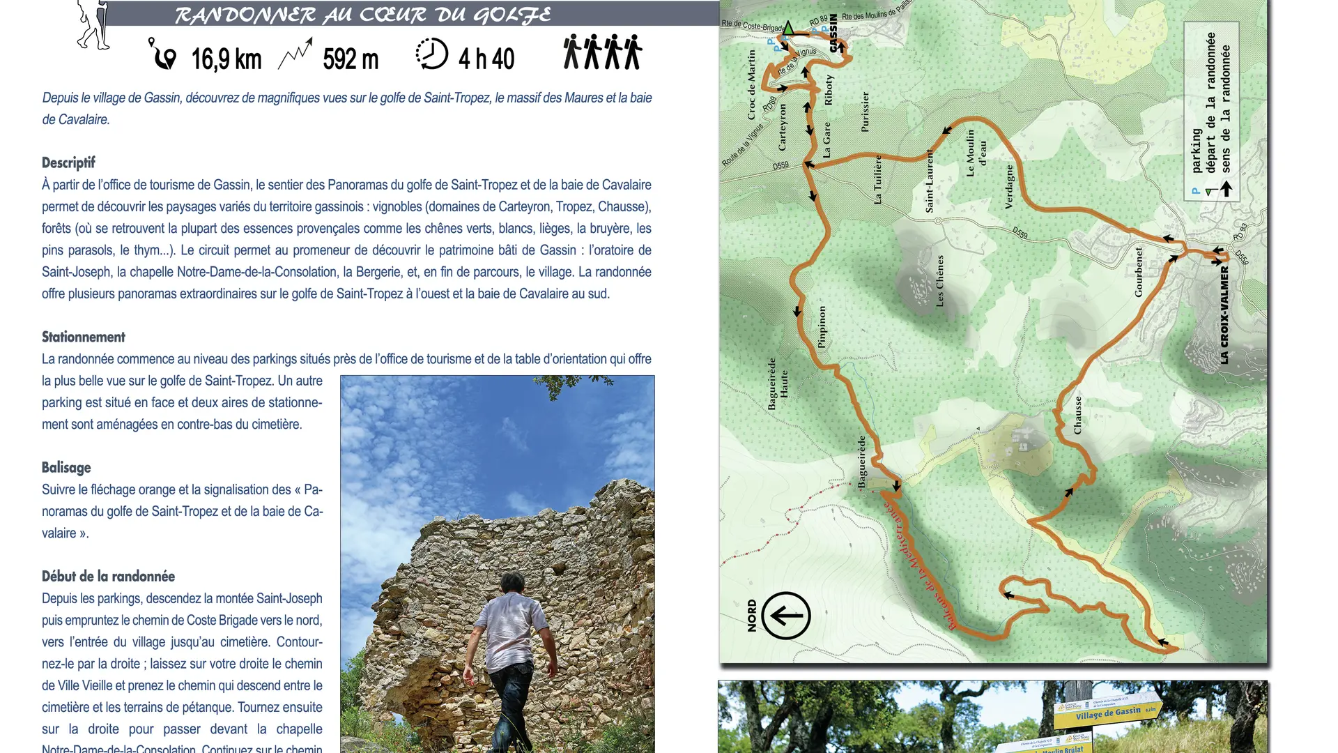
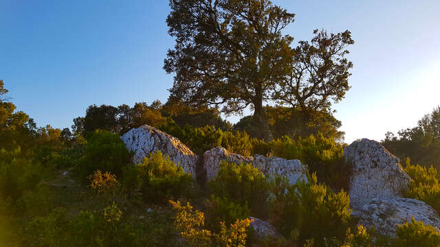
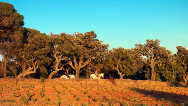
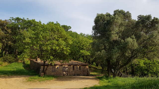
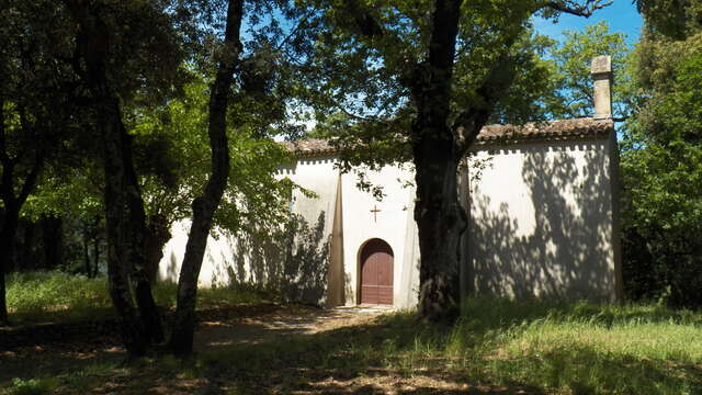
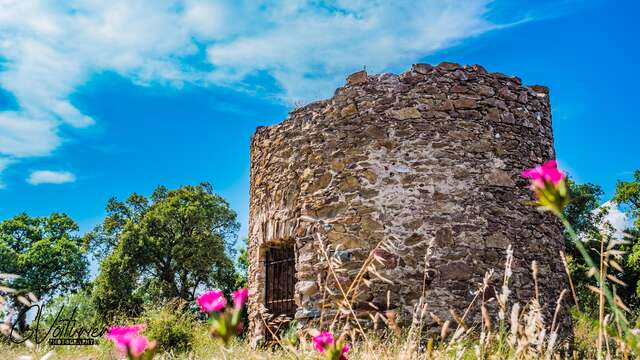
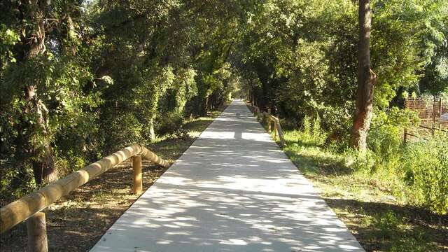
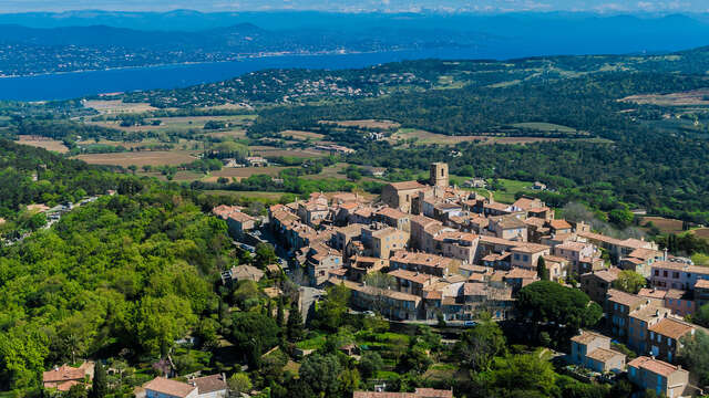
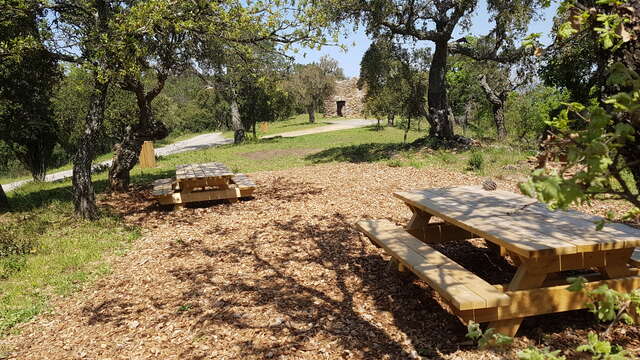
  • The Panoramas of the Gulf of Saint-Tropez and Cavalaire Bay lead you from the village of Gassin to La Croix-Valmer through forest and rural landscapes and beautiful views.

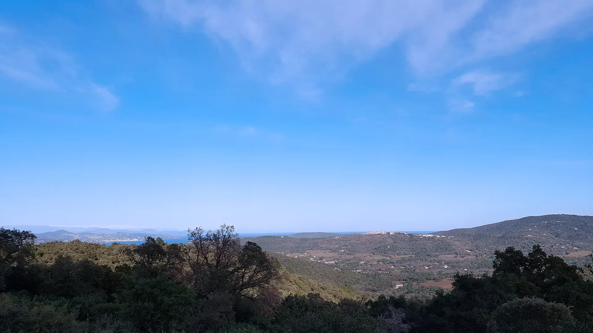
  • This hiking trail takes up part of the GR 51 and offers splendid views of the Gulf of Saint-Tropez, the Bay of Cavalaire, the Pays des Maures, and the villages Gassin and Grimaud.
  • Departure
    Gassin
  • Difference in height
    474 m
  • Plain text period
    All year round.
  • Environment
    • View over the vineyards
    • Close to GR footpath
    • Mountain view
    • In the country
    • Village centre
    • Bus stop < 500 m
    • Close to a public transportation
  • Spoken languages
    • French
  • Documentation
    GPX / KML files allow you to export the trail of your hike to your GPS (or other navigation tool)
474 meters of difference in height
Created with Highcharts 6.2.0Distance (km)Altitude (m)0 km1 km2 km3 km4 km5 km6 km7 km8 km9 km10 km11 km12 km13 km14 km15 km16 km17 km0 m50 m100 m150 m200 m250 m300 m350 mHighcharts.com
  • Maximum altitude : 319 m
  • Minimum altitude : 23 m
  • Total positive elevation : 474 m
  • Total negative elevation : -474 m
  • Max positive elevation : 248 m
  • Min positive elevation : -215 m
Services
  • Equipment
    • Public WC
    • Picnic area
  • Services
    • Coach access