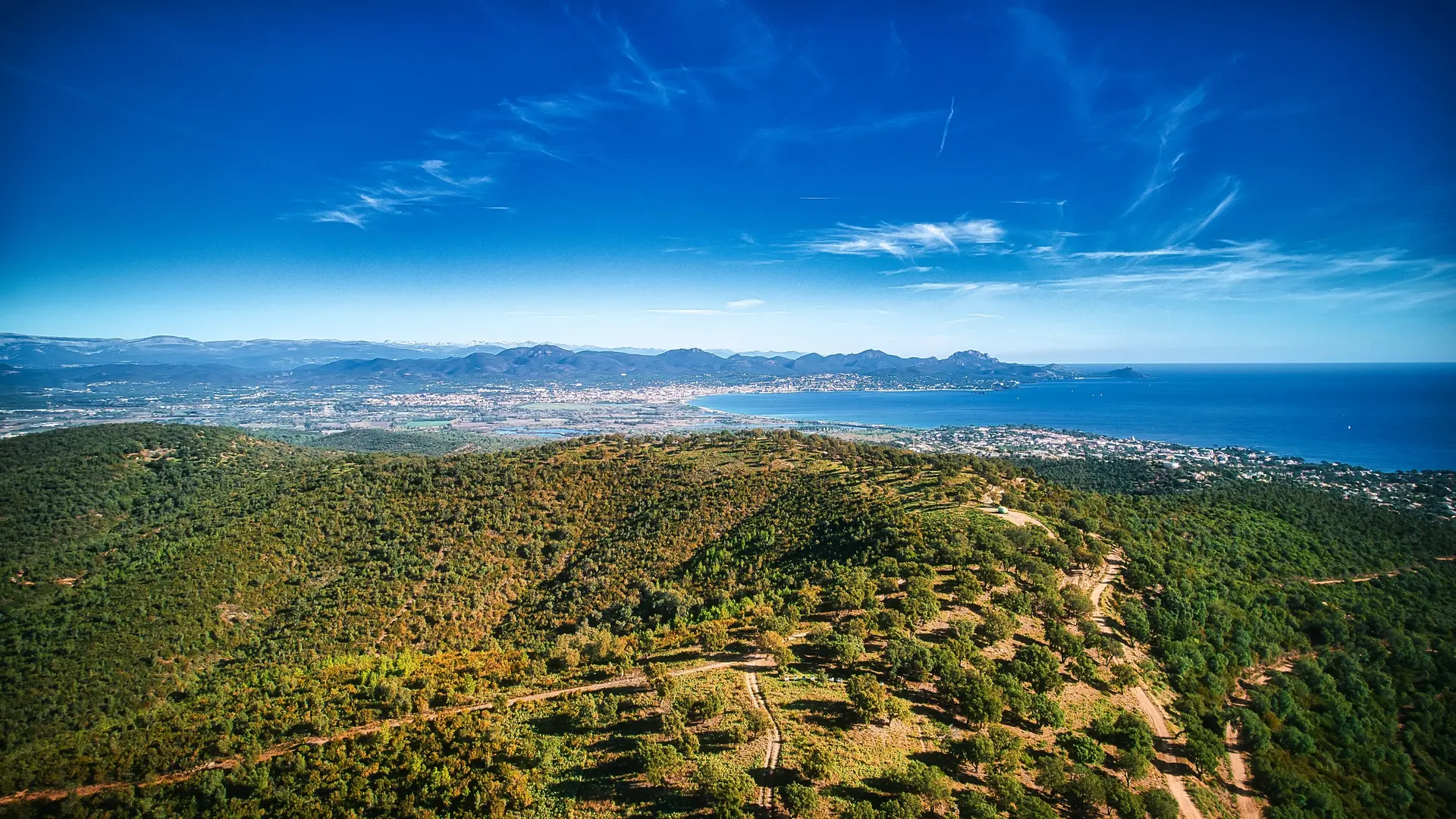
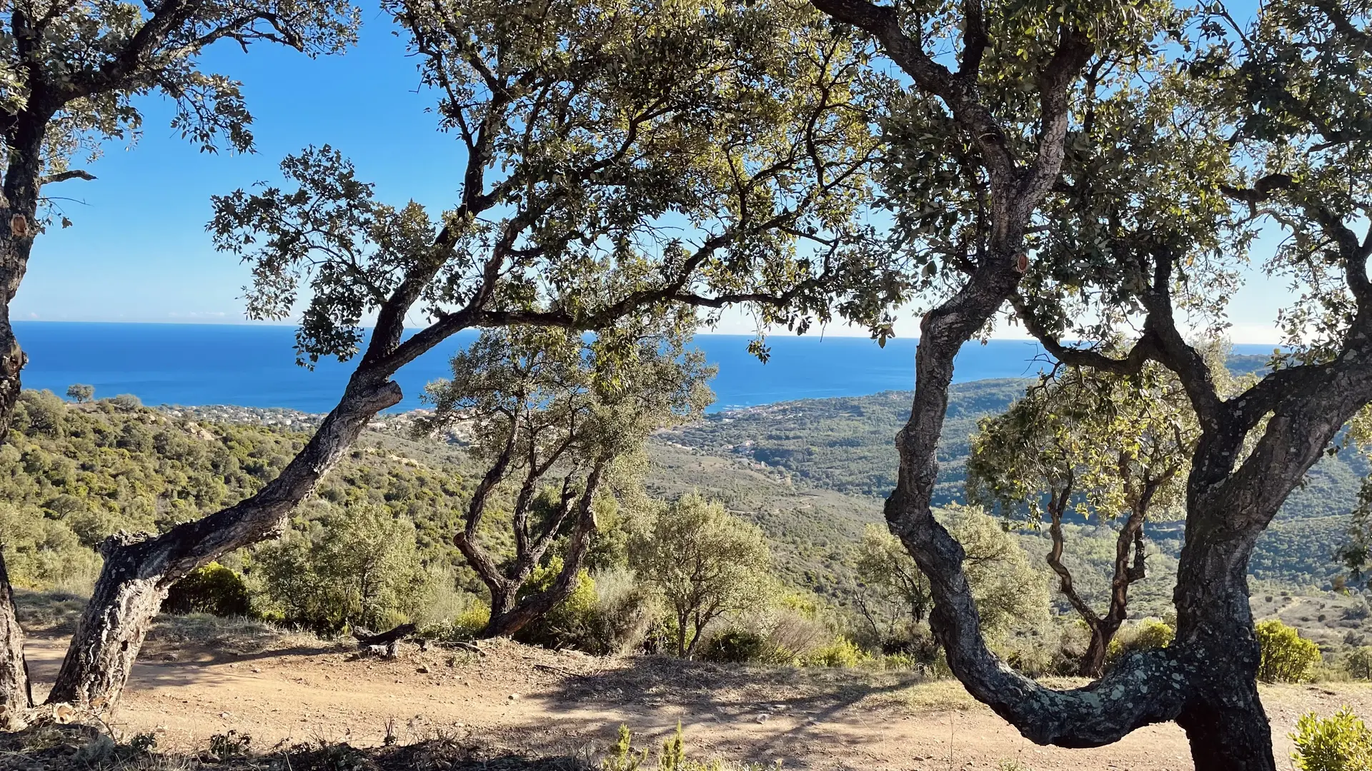
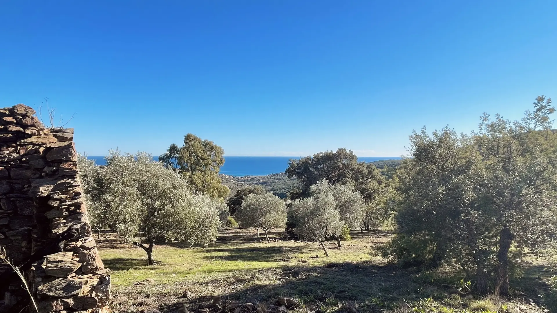
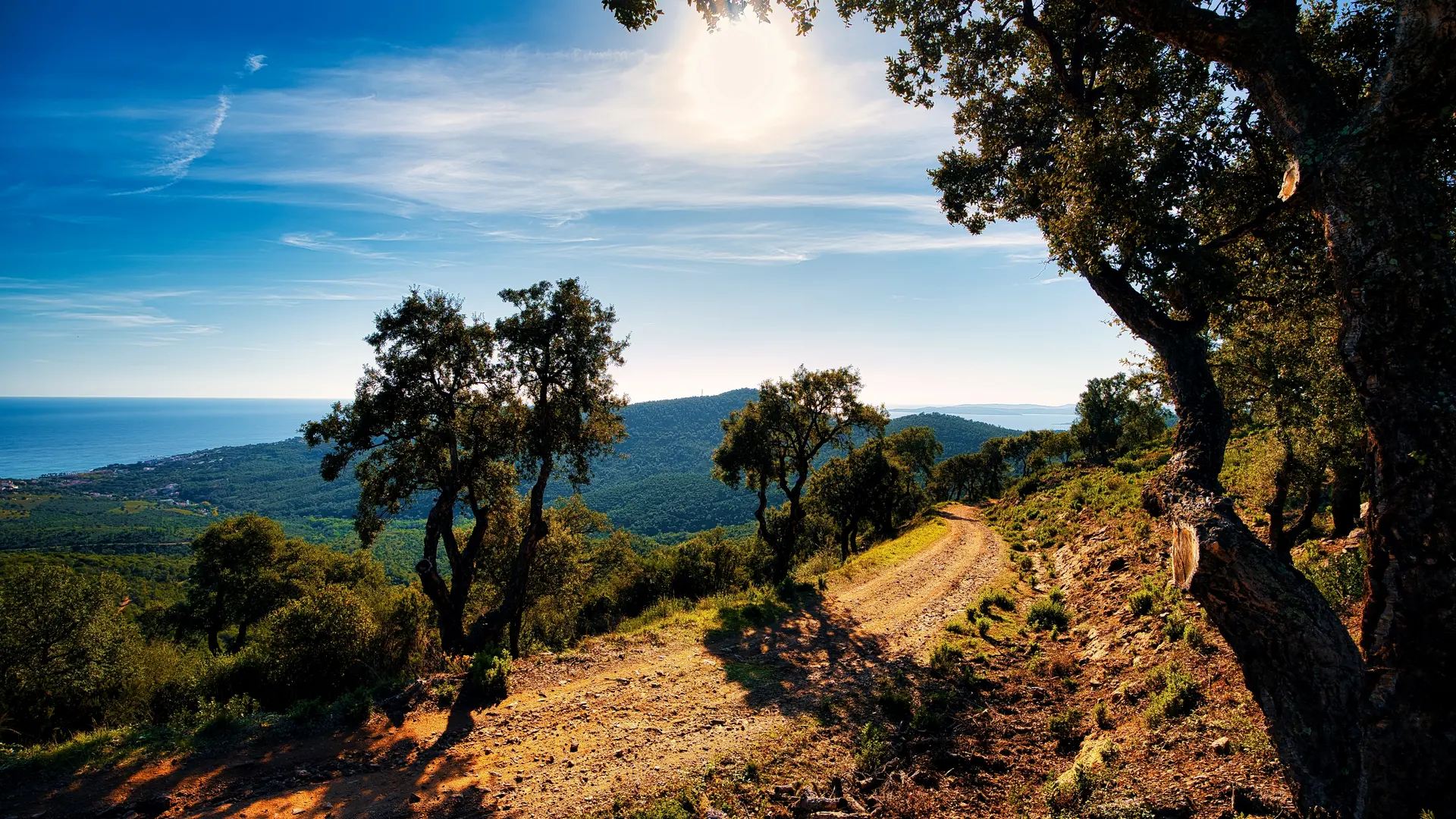
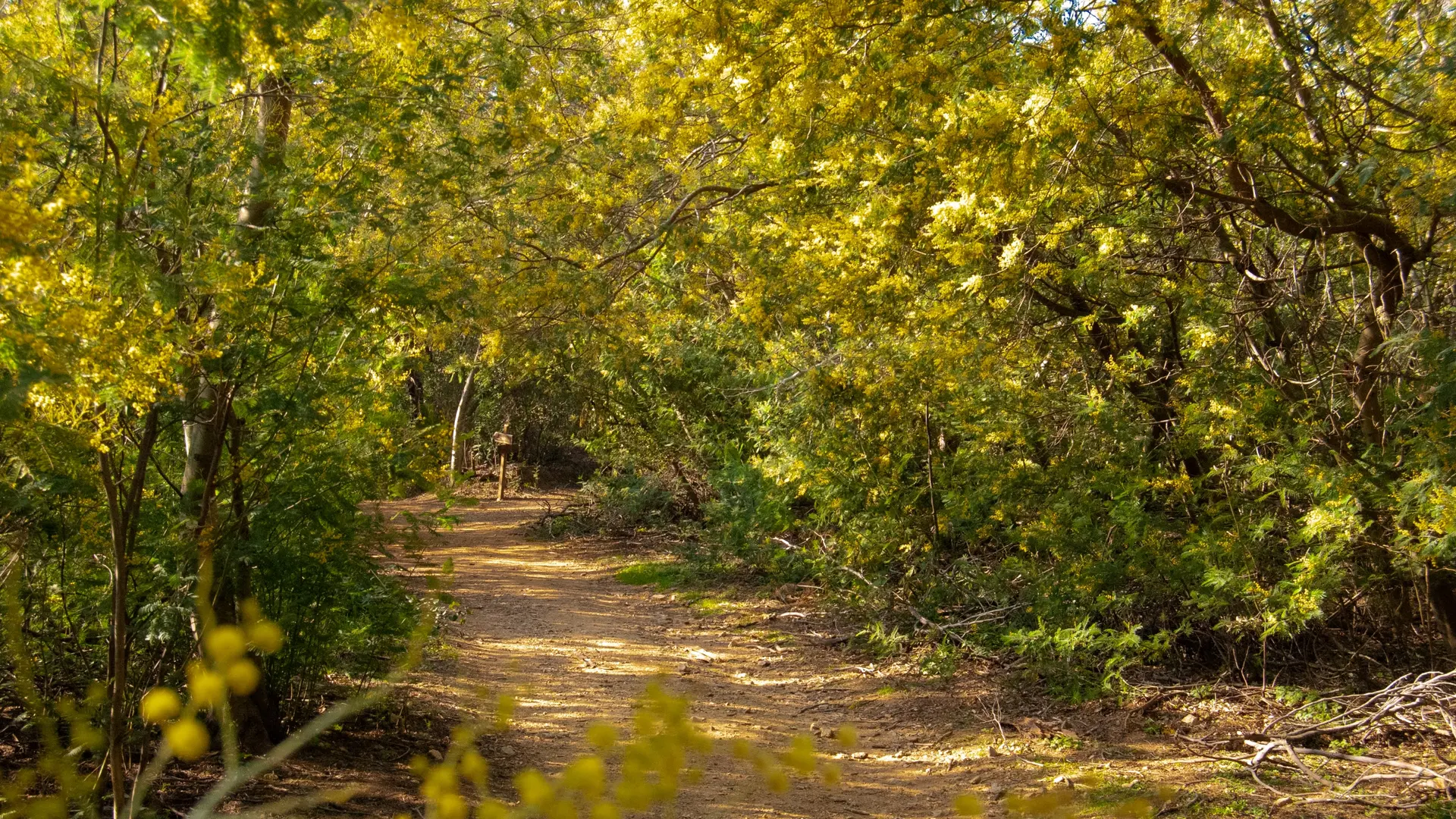
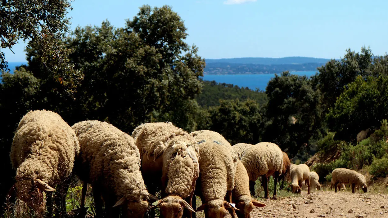
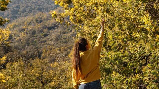
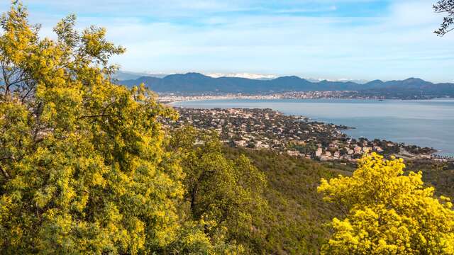
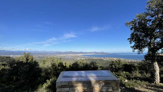
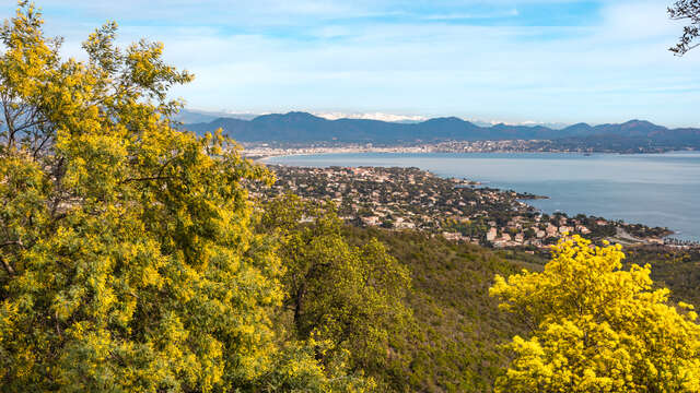
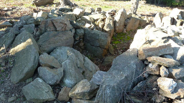
See photos (6)

Hiking: The Agriotier trail - Vallon de la Gaillarde

Sport, Pedestrian sports, Hiking itinerary in Roquebrune-sur-Argens
Unresolved hours
7.6 km
3h
Medium
  • Discover historical remains such as the Dolmens and the Ruin of the Four Winds. Enjoy the view from the hills overlooking the sea and the natural sites preserved by the Conservatoire du Littoral and the Natura 2000 network.

  • Tips
    - Panoramic view of the Mediterranean Sea and the Esterel.
    - During the transhumance period, you may see sheep from the Chieusse sheepfold.
    - Explanatory panels are available to better understand the functioning of ancestral defenses and the constraints of the territory.
  • Departure
    Roquebrune-sur-Argens
  • Difference in height
    268 m
  • Plain text period
    All year round.

    Subject to favorable weather.
  • Environment
    • Forest location
    • Sea view
    • Panoramic view
  • Spoken languages
    • French
  • Documentation
    GPX / KML files allow you to export the trail of your hike to your GPS (or other navigation tool)
268 meters of difference in height
Created with Highcharts 6.2.0Distance (km)Altitude (m)0 km0.5 km1 km1.5 km2 km2.5 km3 km3.5 km4 km4.5 km5 km5.5 km6 km6.5 km7 km7.5 km0 m50 m100 m150 m200 m250 m300 mHighcharts.com
  • Maximum altitude : 245 m
  • Minimum altitude : 20 m
  • Total positive elevation : 268 m
  • Total negative elevation : -274 m
  • Max positive elevation : 185 m
  • Min positive elevation : -42 m