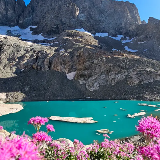
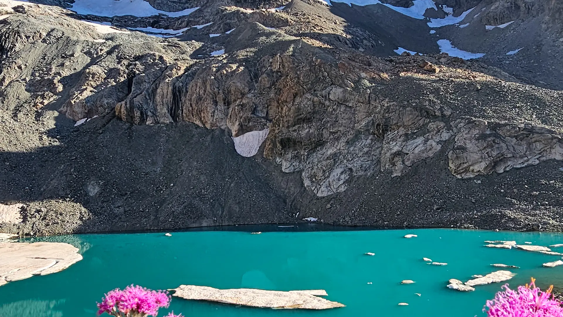
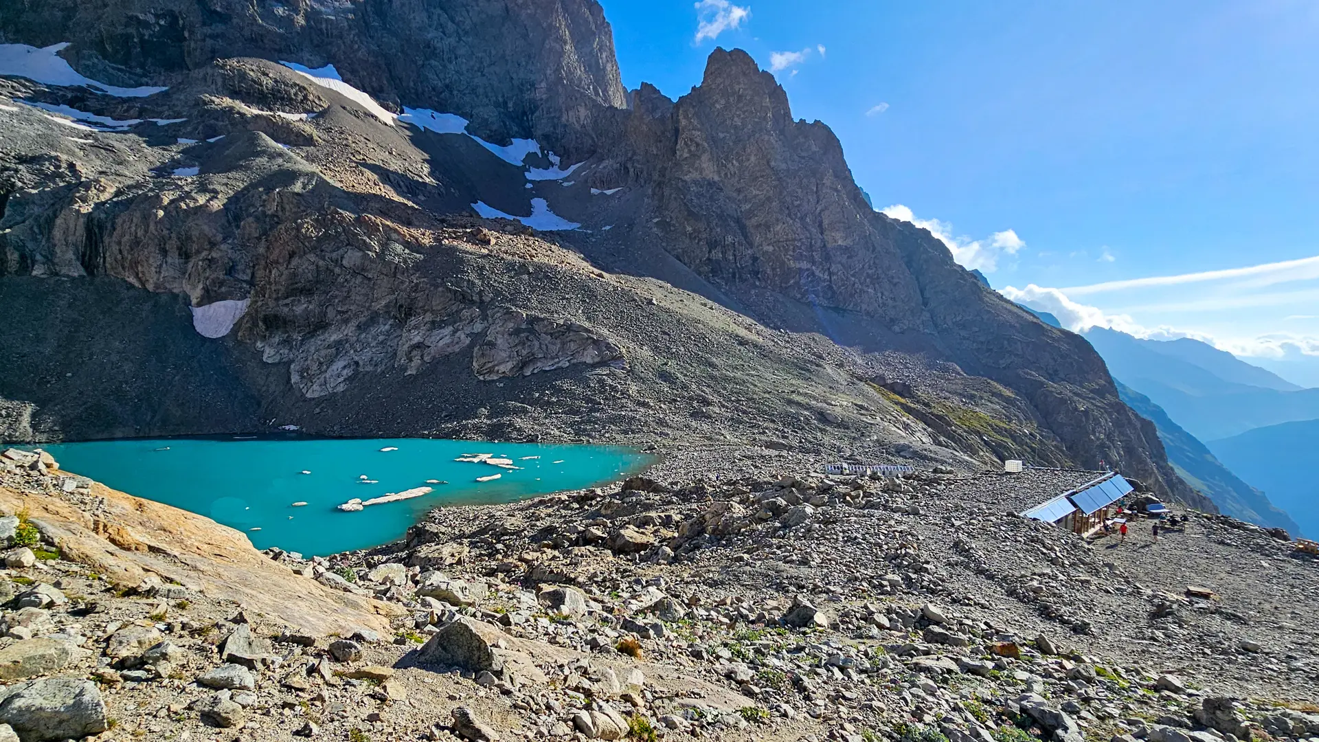
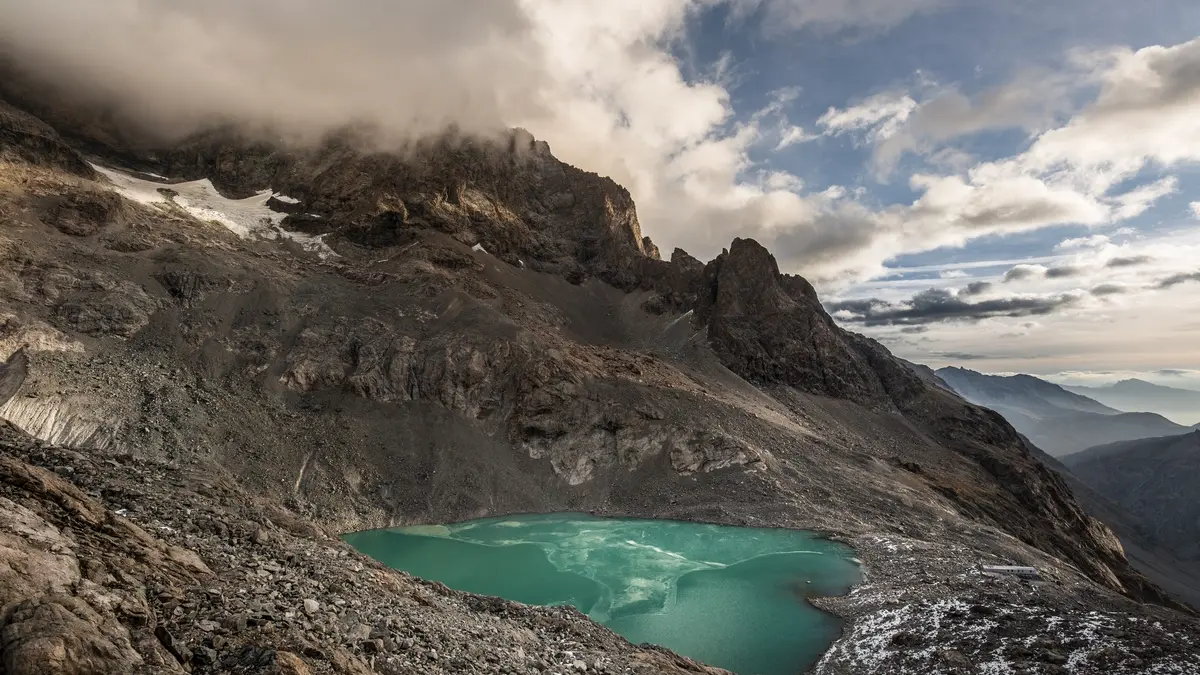
A hike that immerses you in remarkable Alpine scenery and takes you to the Pavé refuge and lake, perched at 2800 m.
Leaving from the Arsine parking lot (next to the municipal campsite), the path to the refuge du Pavé first follows the busy path to the Alpe de Villar d'Arène refuge (GR 54).
It leaves this at the top of the glacial lock known to locals as "Les voûtes". It then follows the Romanche on its right bank for 2 km to the Plan de l'Alpe, once coveted as a hydroelectric dam.
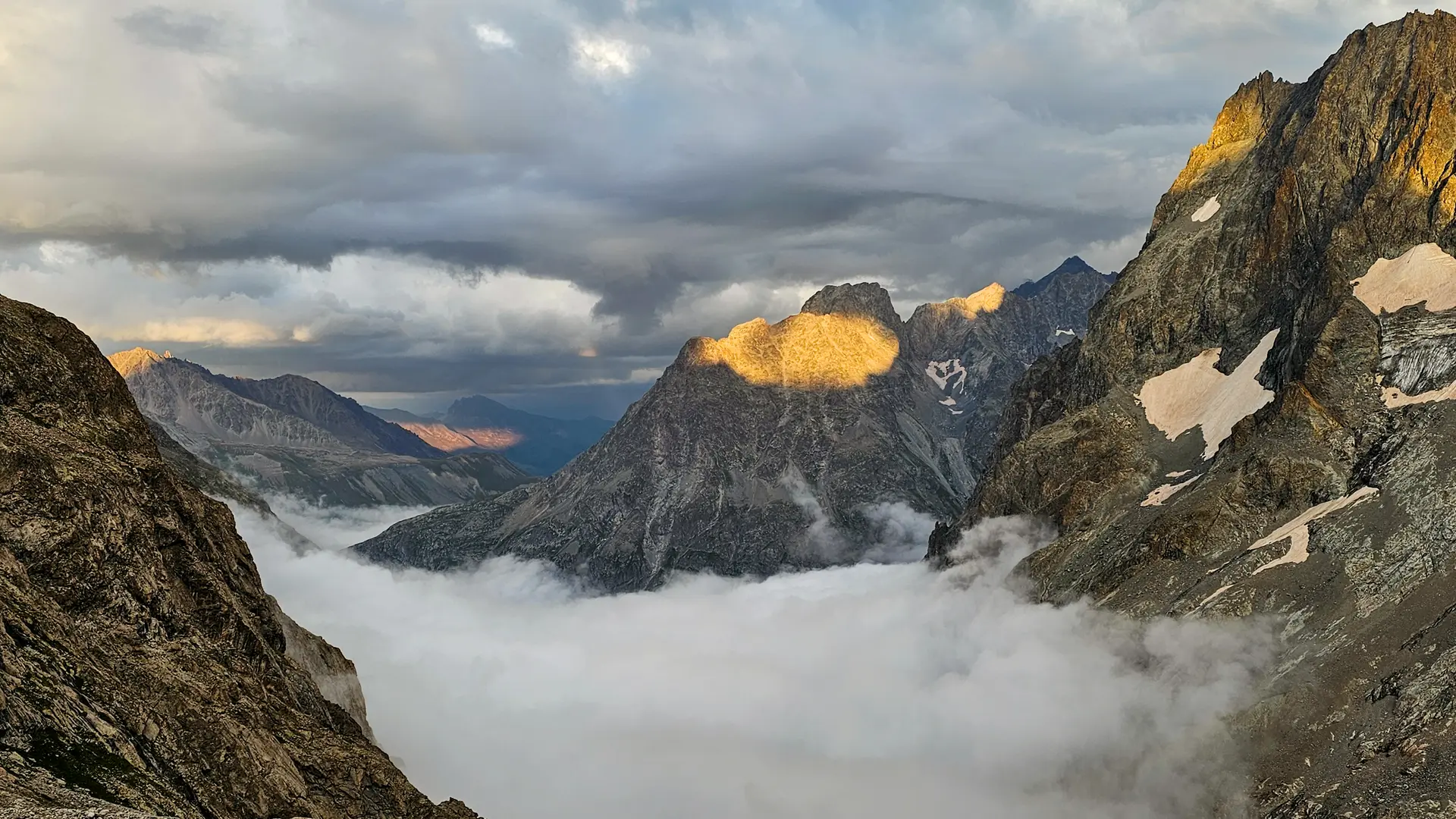
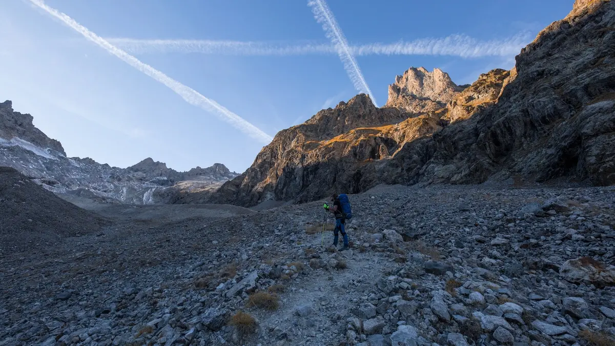
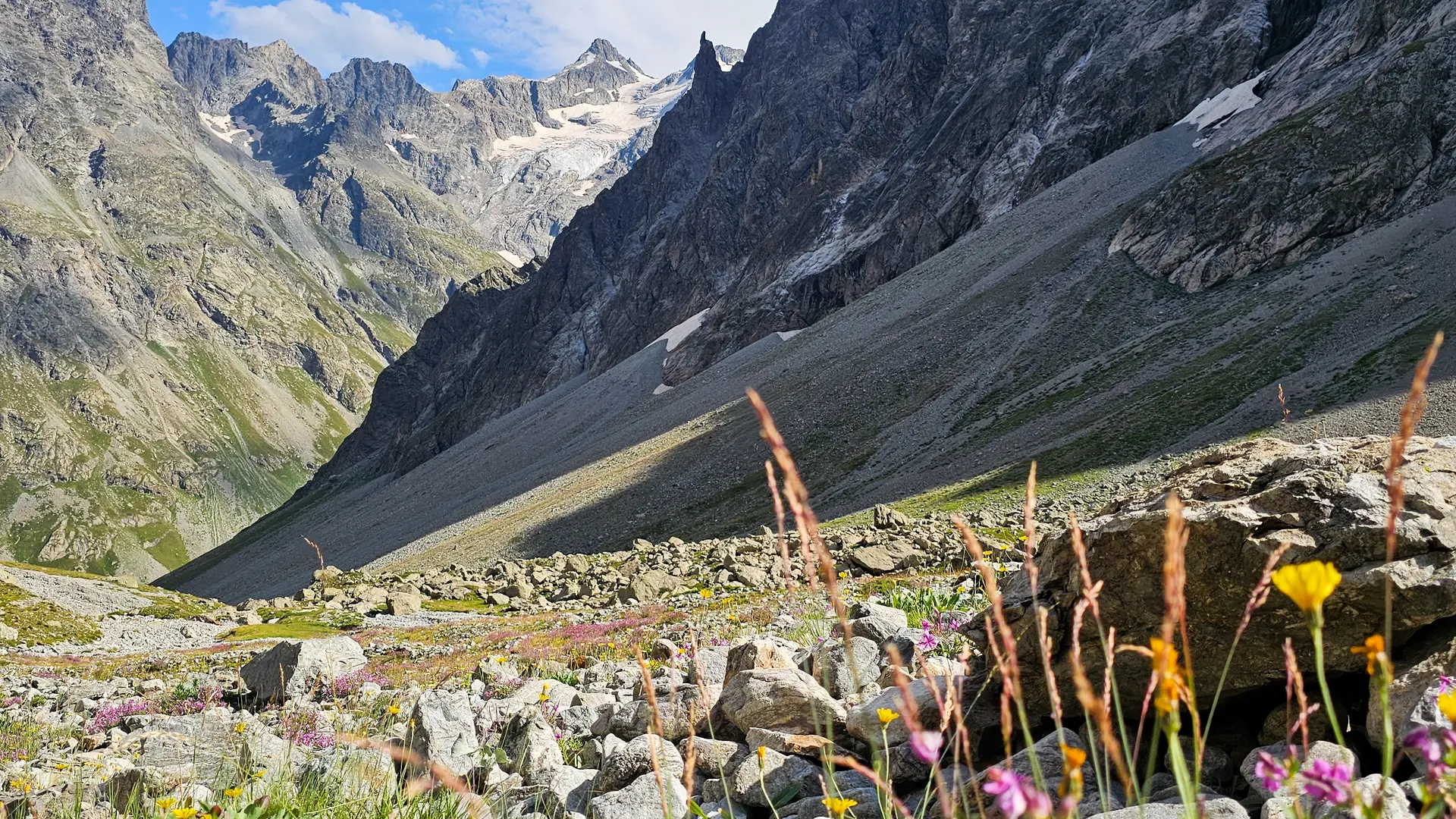
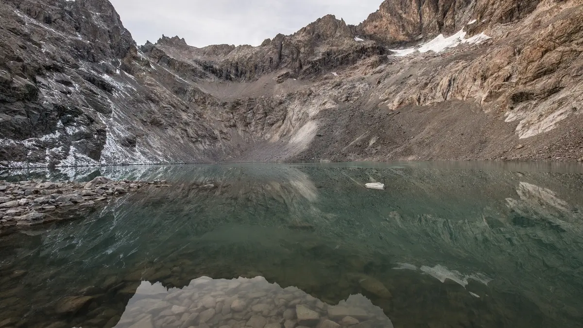
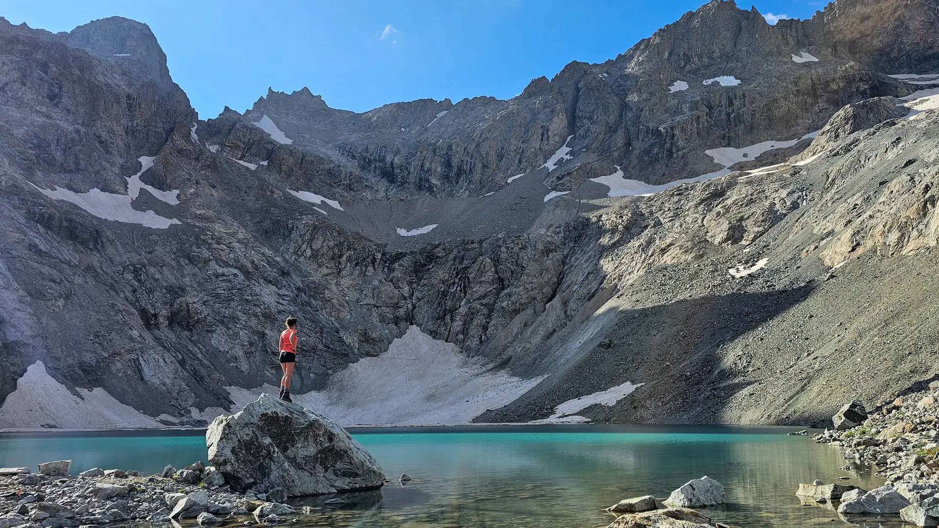
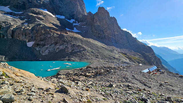
At the Valfourche bridge, which marks the entrance to the heart of the Ecrins National Park, the route switches to the left bank. It leaves the Romanche valley and climbs up the Cavales valley, first along the banks of the torrent of the same name to Les Pichettes, which marks the end of the alpine grassland. The valley then becomes entirely mineral. The path follows the crest of the remarkable moraine to below the Col du Clot des Cavales, skirting a system of rocky bars and arriving at the refuge and Lac du Pavé.
The return journey takes the same route.
"YOU'RE HIKING IN THE HEART OF THE ECRINS NATIONAL PARK
The Écrins massif is an exceptional area, open to all, with a rare natural, cultural and landscape heritage. To protect these treasures, the heart of the park is marked with blue-white-red flags, where regulations must be respected. Please take note of them when preparing your hike to preserve this collective asset on the ecrins-parcnational.fr website."
GOOD TO KNOW:
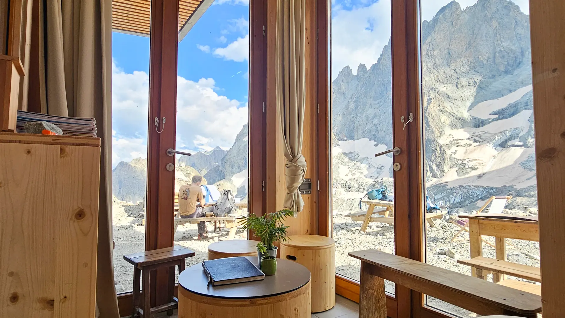
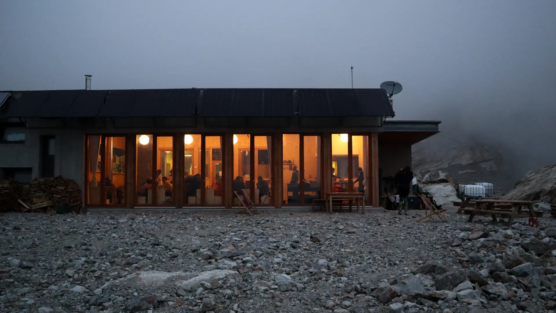
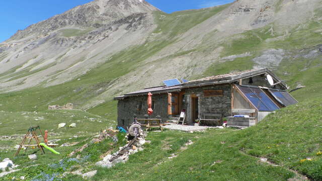
This suspended valley is worth much more than a detour. Come to the refuge du Pavé for a meal or an overnight break, and discover the beautiful ambience of this mountain setting!
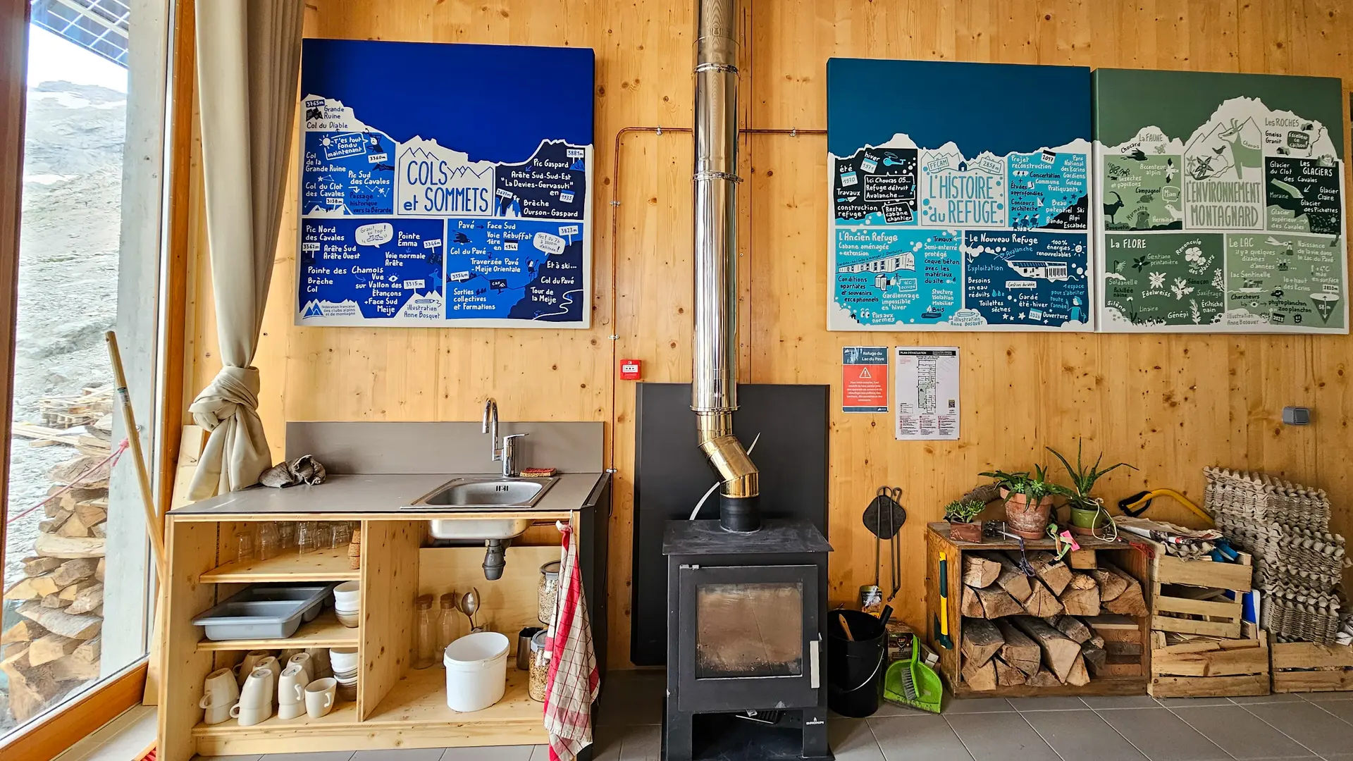
From the refuge:
Mountaineering and climbing:
- Pic Northern Cavales (3362m)
- Le Pavé (3824m)
- Pic Gaspard (3883m)
- Pointe Emma (3346m)
- Pointe des Chamois (3317m)
Read more
Plain text period
From 15/06 to 15/09 daily.
When not in use, all FFCAM refuges maintain an accessible and open section, the "winter refuges", in order to play their role as shelters and emergency shelters. Help us take care of it!
To make up for overcrowding, we advise you to make reservations at this time of year.