The route crosses pastures where you can meet herds of cows.
Le Collet> Bauchière> Boudelle> Under the Archers
> Col de Lauteret> Col de Plate Contier
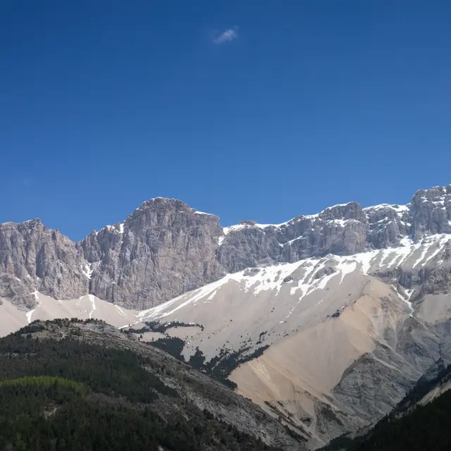
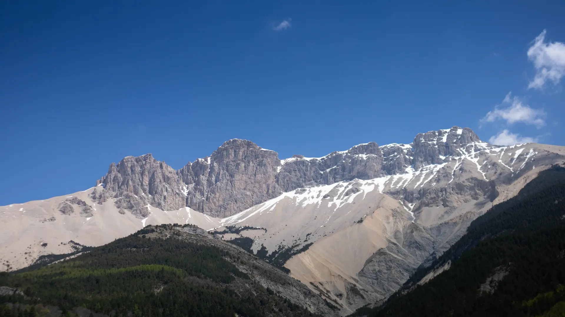
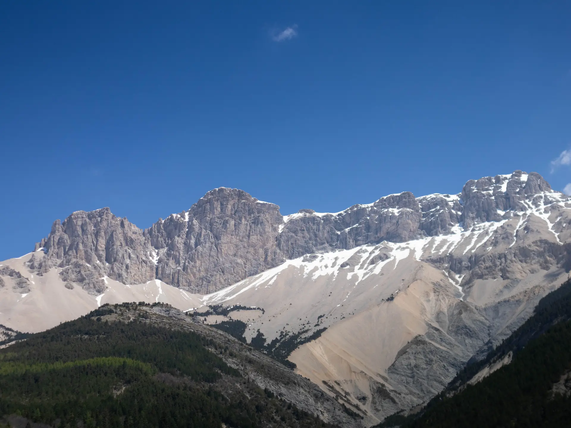
The route follows the GR94 to Col de Lauteret.
From La Cluse, the track overlooks the Abéou torrent. At the crossroads of "Bauchière", cross the bridge and take a slightly steep path in marl which can be slippery in rainy weather to reach the farms of "Boudelle". You then easily go up the wide alpine valley to the "Col de Lauteret", then by crossing under the Tête du Pin, you reach the foot of the Rochers des Archers. Another short climb on a very pleasant old mule track and you arrive at the "Col de Plate-Contier", an ancestral crossing point between La Cluse and Lus La Croix Haute. The descent can be done directly in the direction of the sign "Sous les Archers" and then take the ascent route.
SHORT VARIANT
From the "Sous les Archers" sign, you can go directly to the Col de Plate Contier and the Tête des Ormans.
Do you have any information or recommendations for this route? Tell us by filling in this improvement questionnaire :
https://app.avizi.fr/questionnaires-form/get/cT05MDMmbWFpbD0w/none/none
Read more