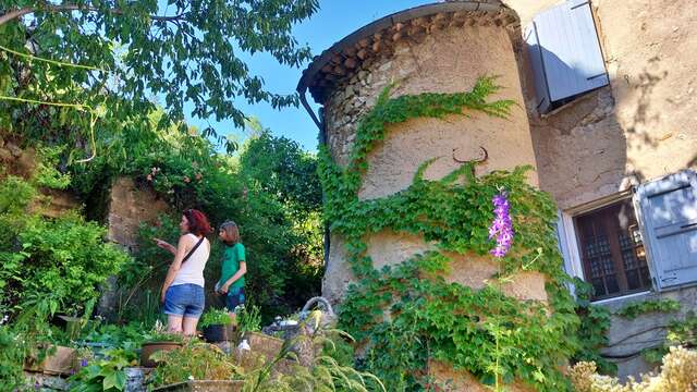
An enjoyable stroll at the foot of the Rocher Saint Michel offering viewpoints of Orpierre and its cliffs.
1 - Start - village
Follow the D30 road toward Laragne-Montéglin then take the first turn right toward the Princes d'Orange camp site.
Go by the "Proxi" shop and the swimming pool, cross the bridge and proceed to the left.
Crossroad
Take a right and continue on this road.
2 - Camp site - path
Continue going up on the same path, along the Princes d'Orange camp site just after the parking lot, then proceed forward on a rocky path.
3 - Crossroad
Turn right (at the post " Chemin de Bouissette – alt. 700n ").
You can admire the village of Orpierre from there, known for it's rock climbing sites, overlooked by limestone cliffs.
Proceed on the same path going up slowly, ignore the roads on the left and right.
4 - Panoramic viewpoint of the Céans Valley.
5 - Ruins of " Paturle " - source
A small source is available to refresh yourself. To find it, go down the small trail in front of the ruins, the source is below on the left.
6 - Crossroad
At the post 147, continue forward toward the Col de Beynaves (GR946)
Go off the road and follow a rocky trail.
7 - Crossroad - FFRP post (" au dessus de Paturle – alt. 880 ")
Go left toward " Rocher St Michel / Orpierre par la Plaine des Bessons 3 km ".
Start following the yellow signs (PR)
The trail goes up abruptly for 300 m, be sure to hydrate yourself and take hiking shoes, thankfully the trail is in the shade.
8 - Crossroad - FFRP post " Sentier de la plaine des Bessons " alt. 1030 m.
Proceed forward toward Orpierre by the Bessons plain - 2,8 km, estimated walking time 50 minutes.
On the right, you can extend your trek by going up to the summit of the Rocher St-Michel. But be careful, the way up is steep, a 800 m walk with 200 m height difference. The estimated walking time is 45 minutes.
Trail and descent to the plain of Bessons
Cross the shaded and peaceful forest area, and enjoy the refreshing fresh air.
The Rocher St Michel, a limestone formation, overlooks the Bessons plain at a 1215 m height.
9 - Viewpoint of the village and of the impressive cliffs of Orpierre.
Descent by a trail
Be careful on the way down, the slope is steep and slippery. Go along the same trail and follow the yellow signs until reaching a path, then turn left to get back to the starting road.