This is stage 03 of the itinerary "In the footsteps of Marie-Madeleine" dedicated to Sainte-Marie-Madeleine. The circuit will make you travel to discover the religious heritage of Martigues.
Stage 3 connects Fos-sur-Mer to Martigues over approximately 20 km, with a walk of about 5 to 6 hours and a moderate profile alternating between inland and coastal areas.
From the start, the path leads you to the edge of the lagoon before entering natural areas of pine forests and marshes. You will walk alongside ponds, cross agricultural areas, and then reach the shores of the Étang de Berre, passing through beaches and coastal areas that alternate between tranquility and sweeping sea views.
The route continues along the coast, partly on the GR® de Pays long-distance hiking trail, until you reach the entrance to Martigues, a typical Provençal town of water and canals.
For hikers seeking meaning, this stage is not simply a passage between two geographical points: it offers moments of listening and presence amidst the changing landscapes, from the water's edge to the wooded areas, and prepares you for your arrival in an urban center rich in spiritual sites.
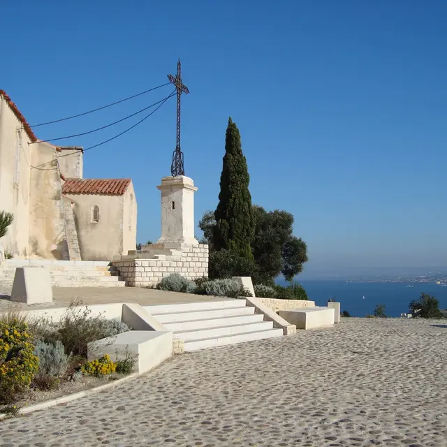
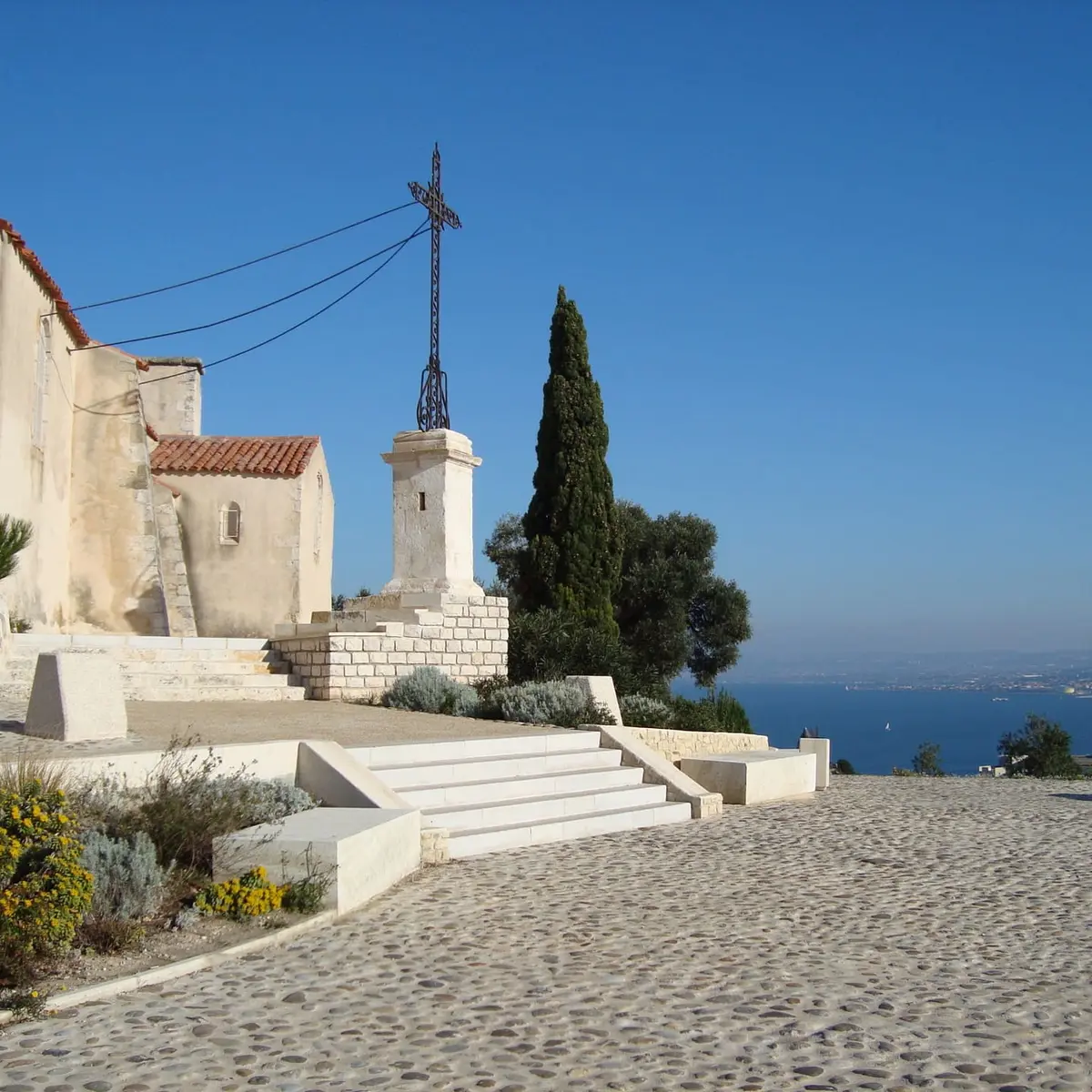
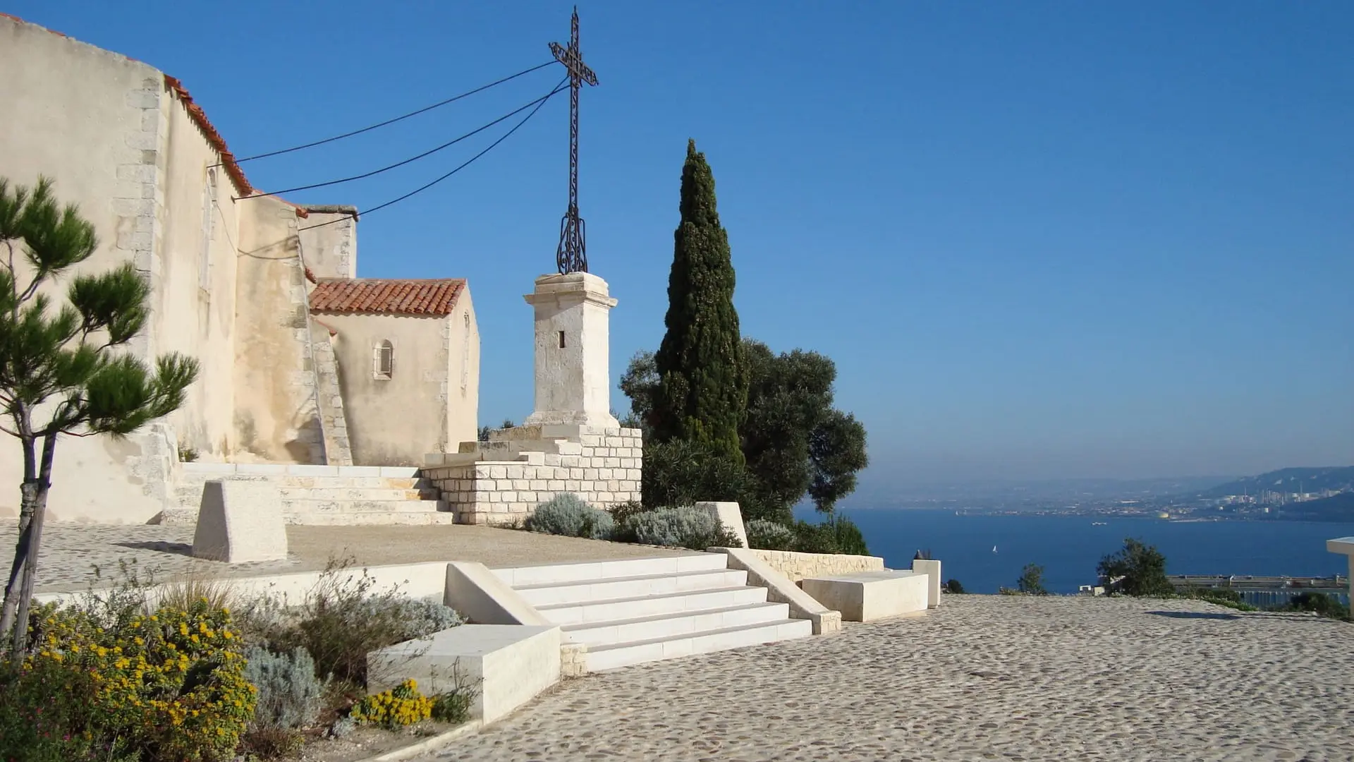
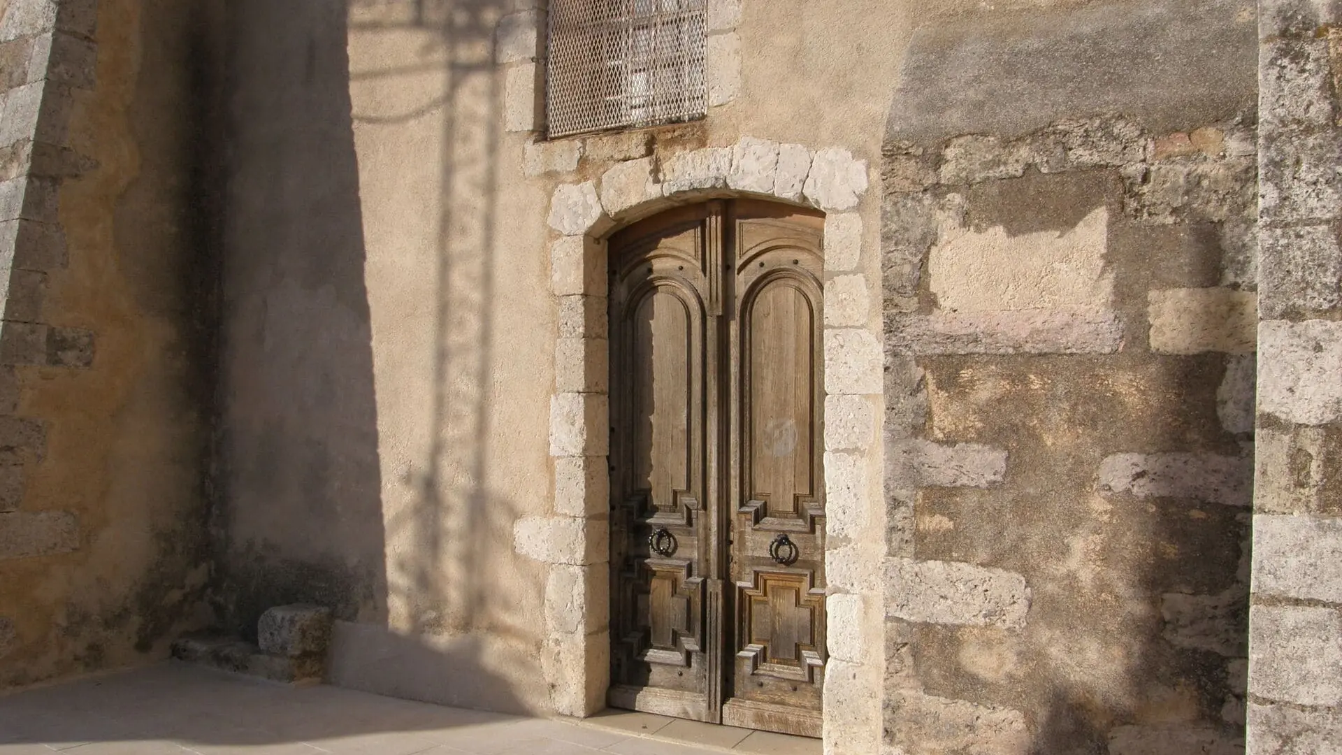
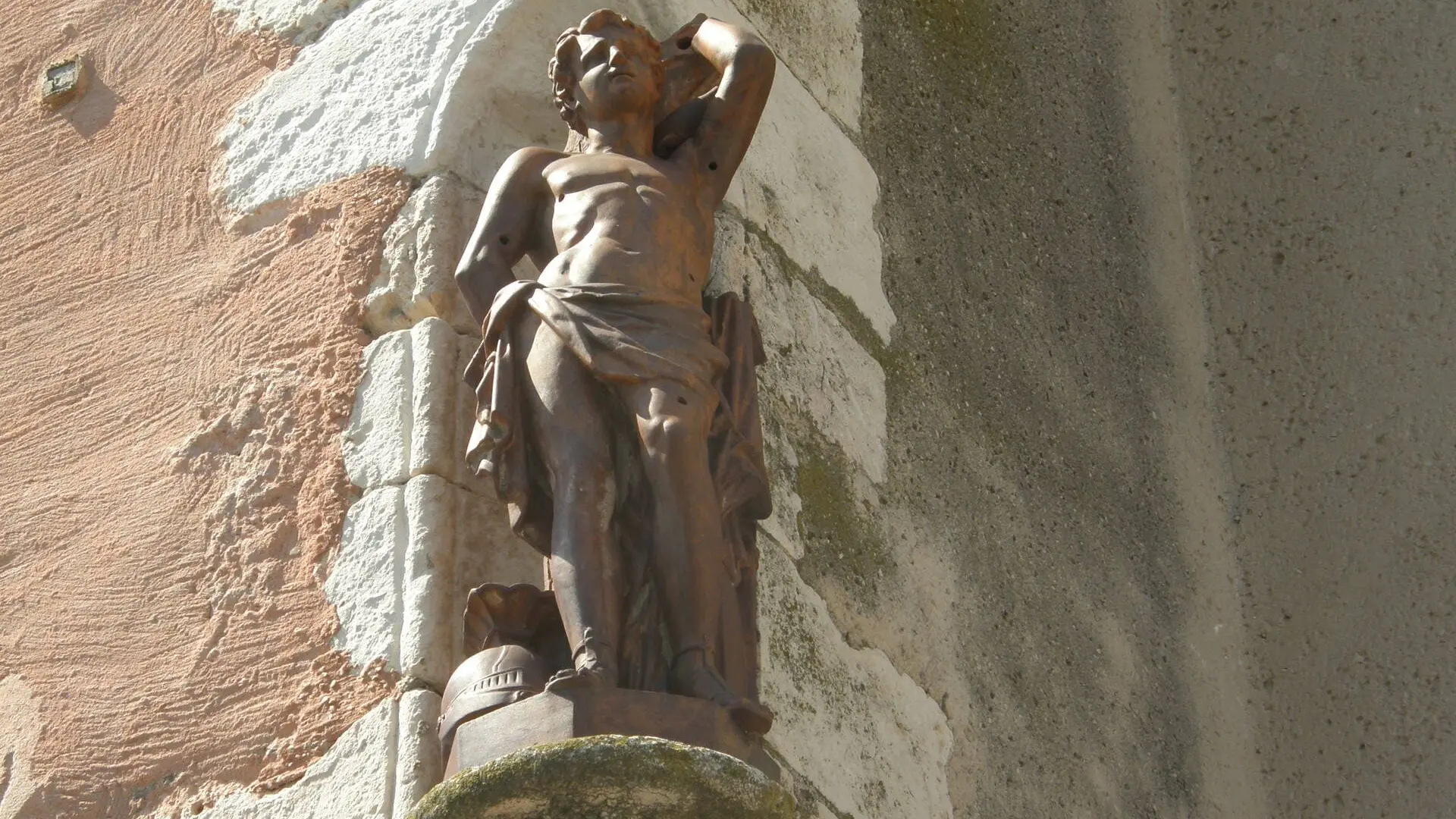
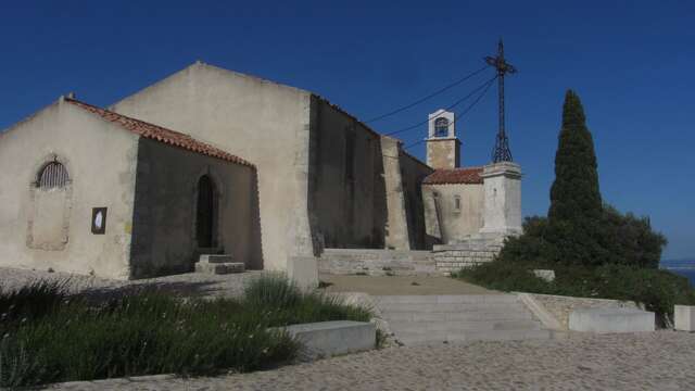
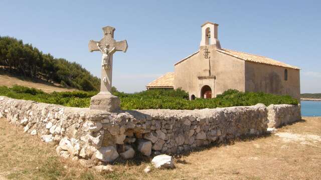
In Martigues, several religious sites can punctuate a meditative break: the imposing Sainte-Marie-Madeleine church, the peaceful canals of the Île district, or the Notre-Dame-des-Marins Chapel perched on the hill, invite contemplation and reflection at the end of the stage.