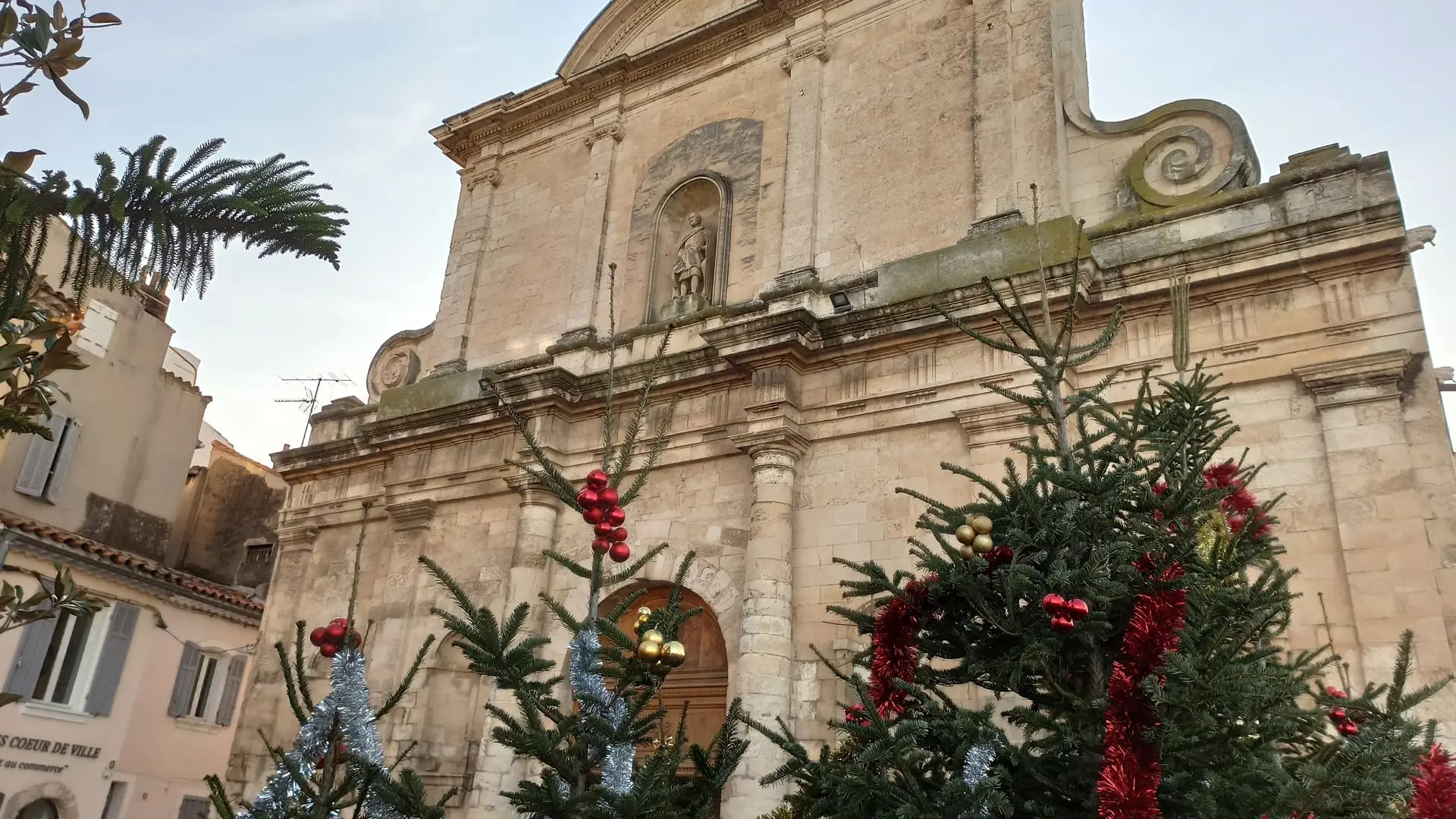
This is stage 04 of the itinerary "In the footsteps of Marie-Madeleine" dedicated to Sainte-Marie-Madeleine. The circuit will take you on a journey to discover the religious heritage of Martigues and in particular the Côte Bleue in the direction of Carry-le-Rouet.
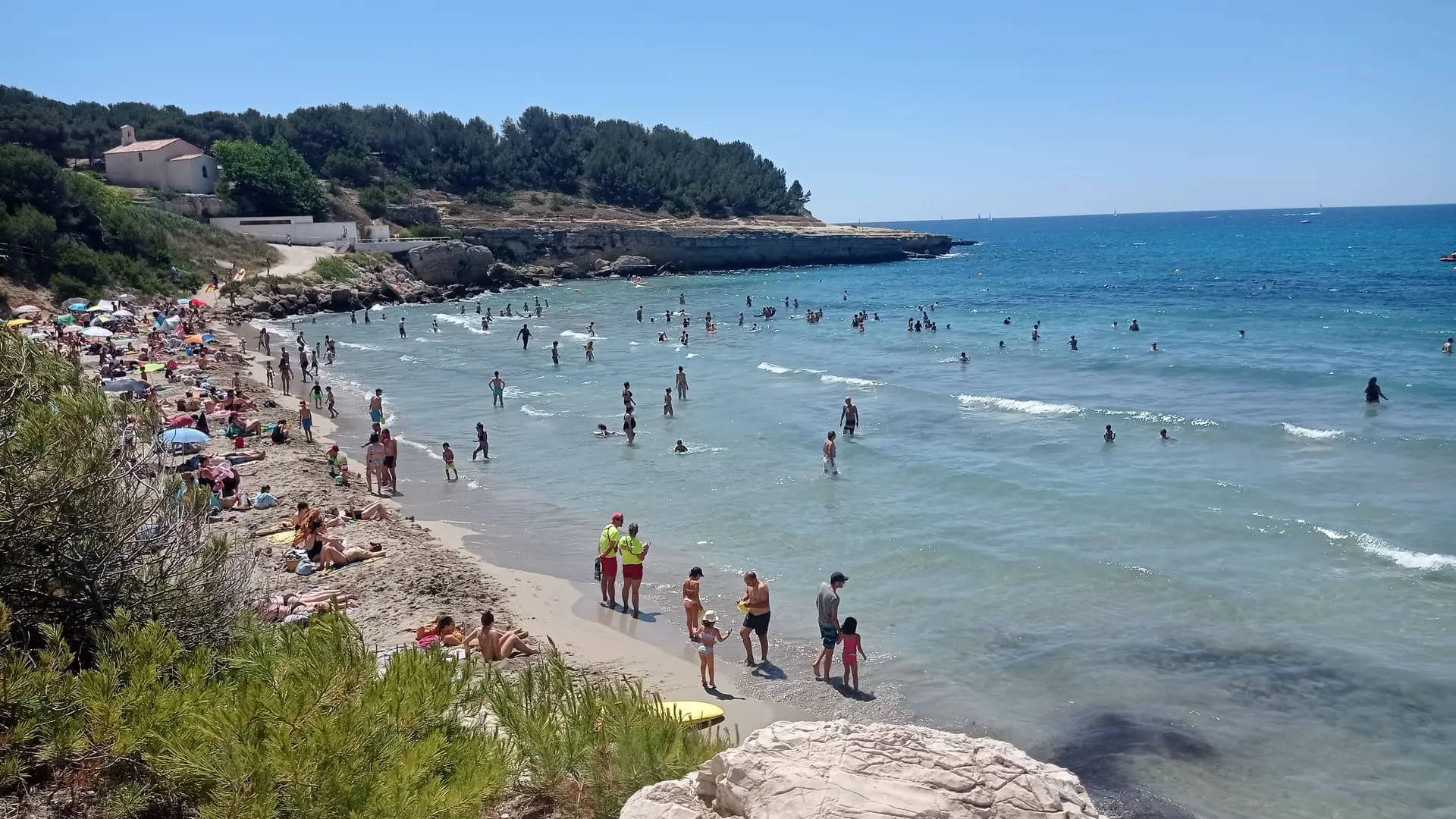
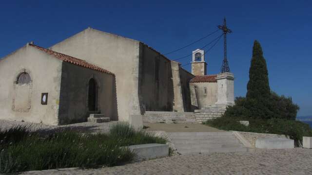
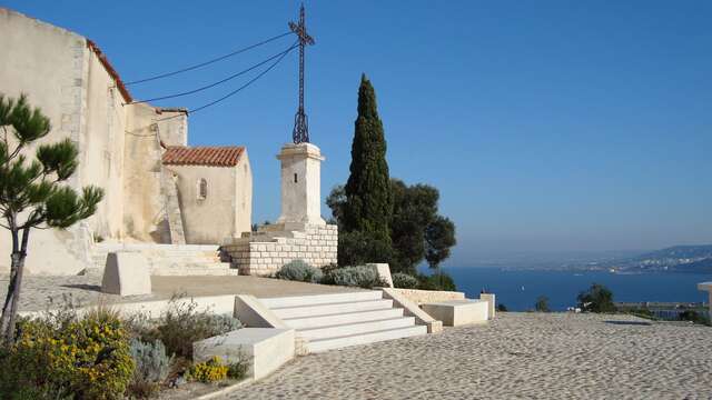
After discovering the sights of the city center, head inland before reaching the Mediterranean coast. You'll reach Sainte-Croix beach and its chapel overlooking the landscape. A seaside path will take you to the towns of Sausset-les-Pins and Carry-le-Rouet, before continuing to Marseille.
From the town center of Jonquières to Martigues, you'll pass through a tunnel to reach the countryside of Saint-Julien-les-Martigues. Crossing this vast agricultural plain will take you to the Mediterranean coast. You'll discover Saint-Pierre-les-Martigues, a neighboring village. With its church and Gallic oppidum, it preserves traces of its past. The magnificent landscapes will allow you to admire the vineyards, olive groves, and almond groves of our local producers.
If you're interested, stop by one of the producers to discover their local expertise.
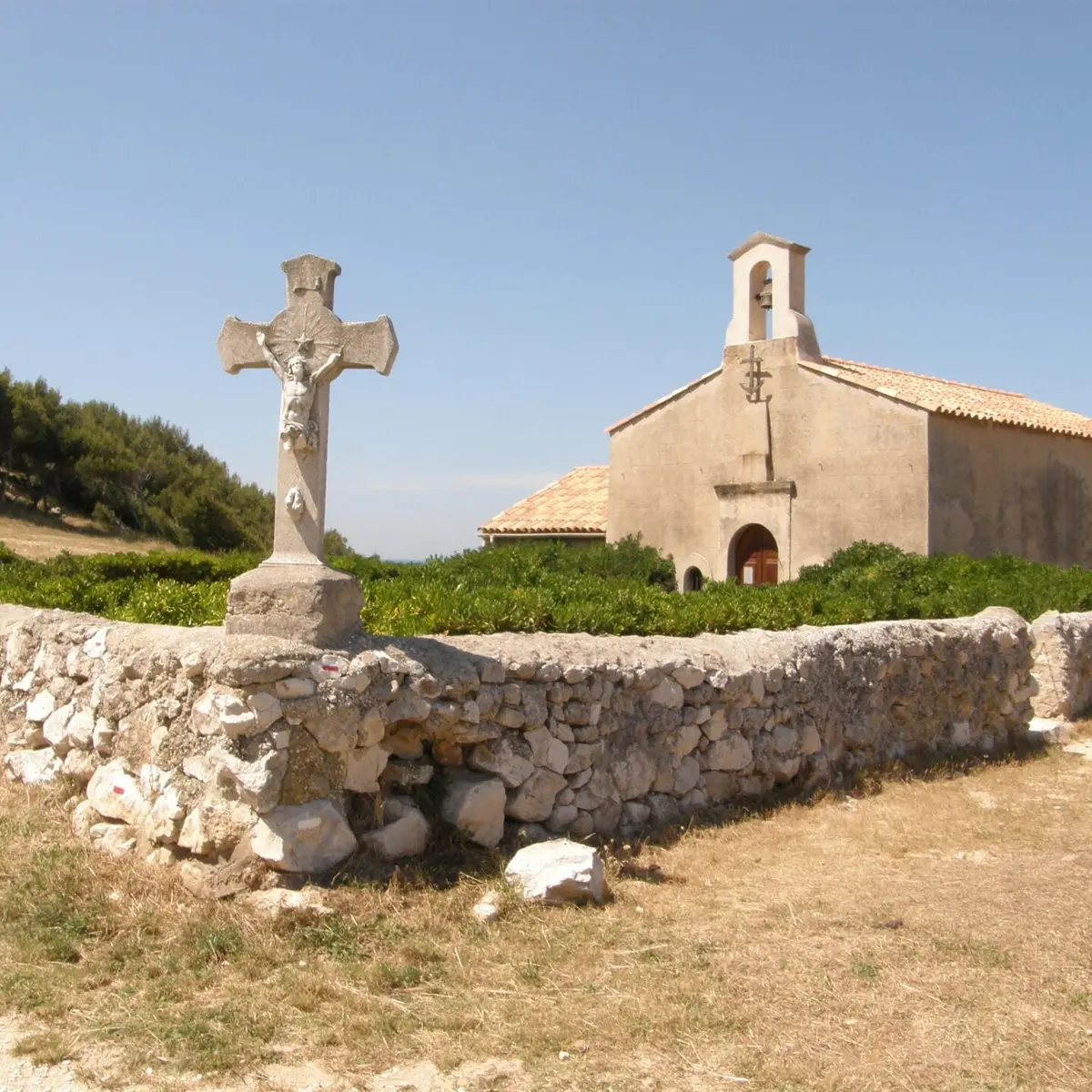
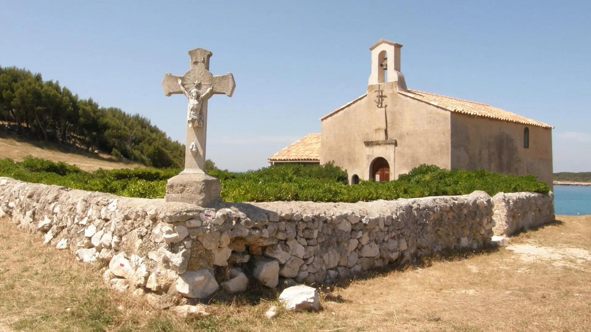
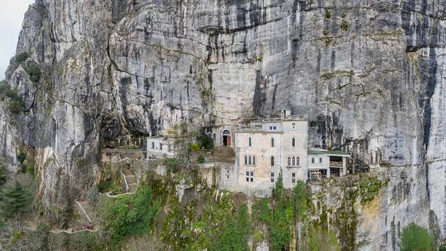
The climb will be a bit steep until you reach the Col de la Gatasse. Cross the bridges and railways to then descend towards the sea and reach Sainte-Croix beach and its famous chapel. It was here, at the Chapel of Sainte-Croix, that Mary Magdalene found refuge during her shipwreck at sea alongside Mary Jacobea, Mary Salome, and Lazarus. It is said that pilgrims gather here every year to do penance.
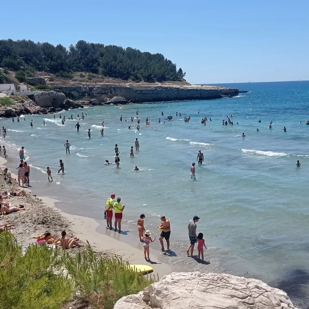
Continuing along the marked trail, you will reach the port of Tamaris, Boumandariel cove, and then the reed bed of Sausset-les-Pins. You will continue your journey along the coastal road. You will arrive in Carry-le-Rouet via Fernandel beach. Follow the coastline, cross the town center to reach Cap Rousset beach.