- Voir les favoris
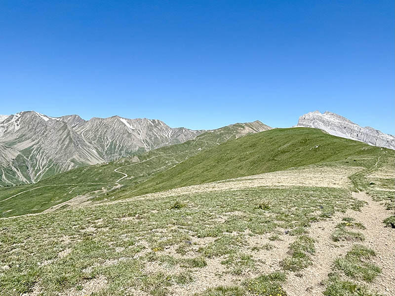
Itinéraire VTT AE : panoramique du Col d'Allos
Sport, Cycling sports, Electric mountain bike route
in La Foux D’allos, Allos
8.5
km
-
Blue route around the Col d'Allos ridges
- Departure
- Allos
-
-
Difference in height
- 258.646 m
-
-
-
Plain text period
-
From 01/05 to 31/10/2025 on Thursday.
Subject to favorable weather.
-
-
-
Spoken languages
-
-
-
-
-
Documentation
- GPX / KML files allow you to export the trail of your hike to your GPS (or other navigation tool)
-
- See all reviews
- 259 meters of difference in height
-
- Maximum altitude : 2396 m
- Minimum altitude : 1783 m
- Total positive elevation : 259 m
- Total negative elevation : -680 m
- Max positive elevation : 64 m
- Min positive elevation : -364 m
