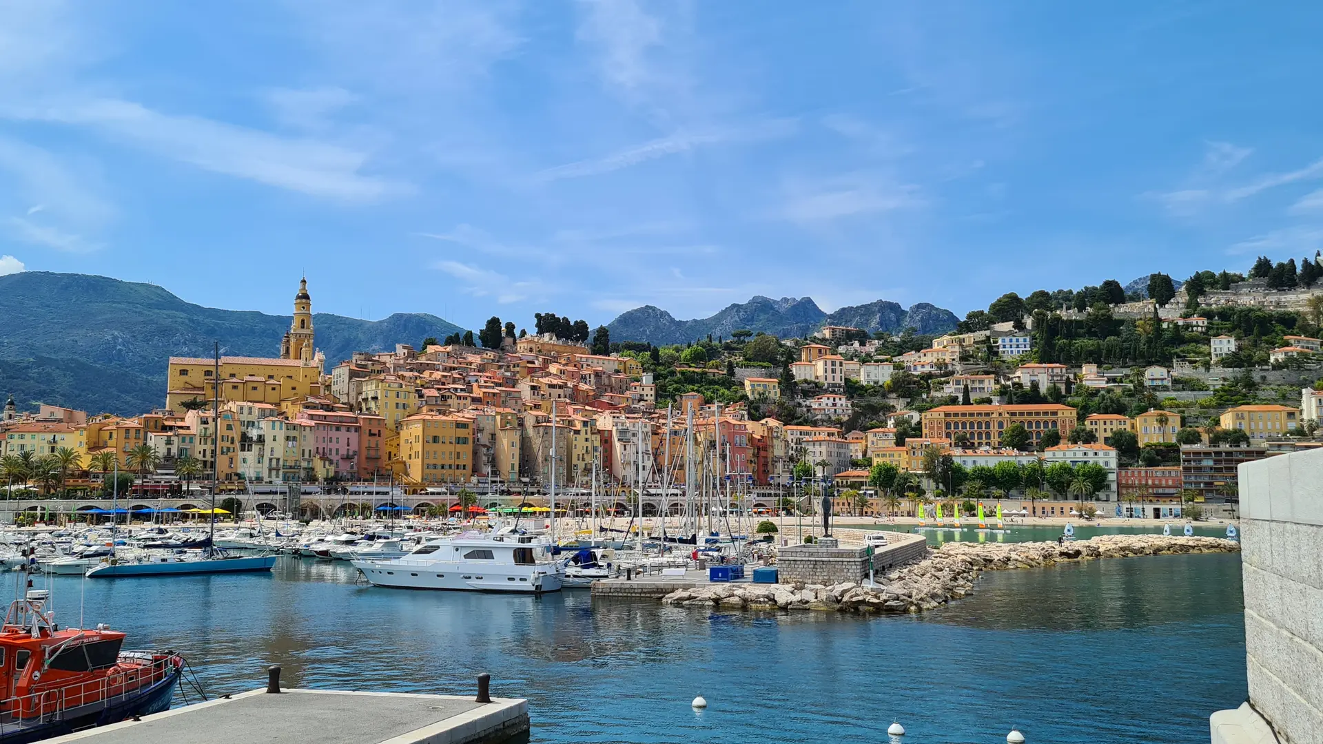
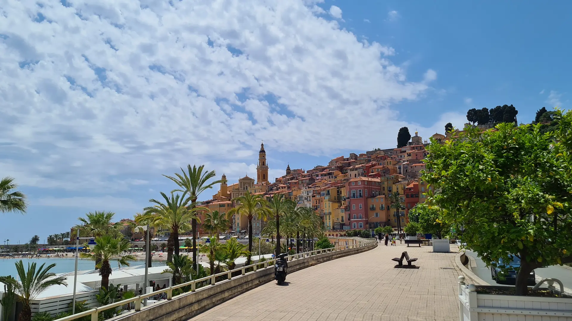
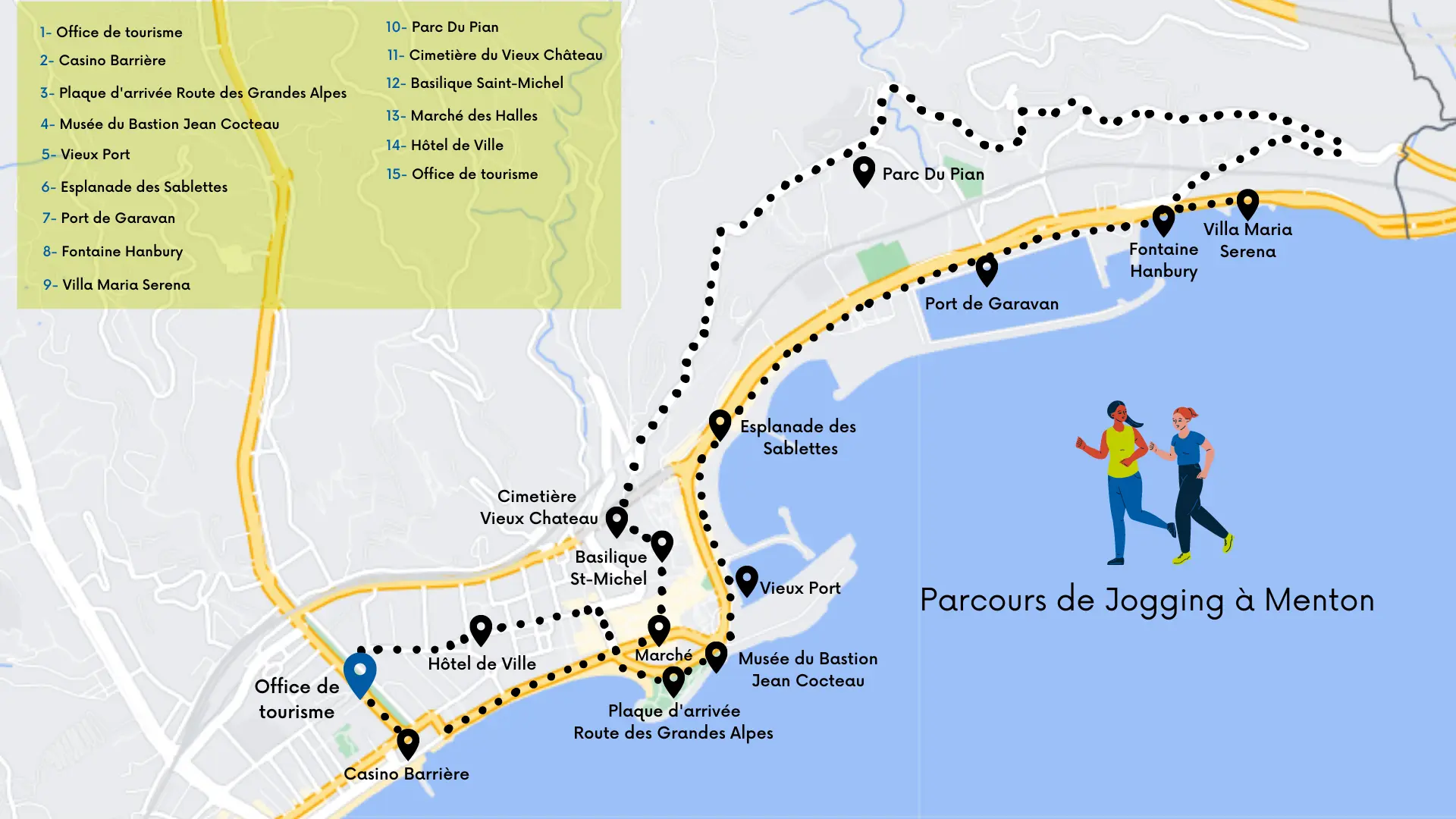
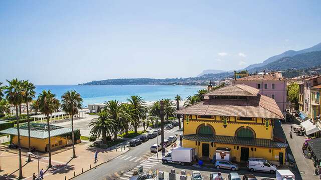
Take off on a jog and explore the town of Menton with this route that allows you to discover the old town, its best viewpoints, beaches, palaces and squares, all while practicing your favorite sport!
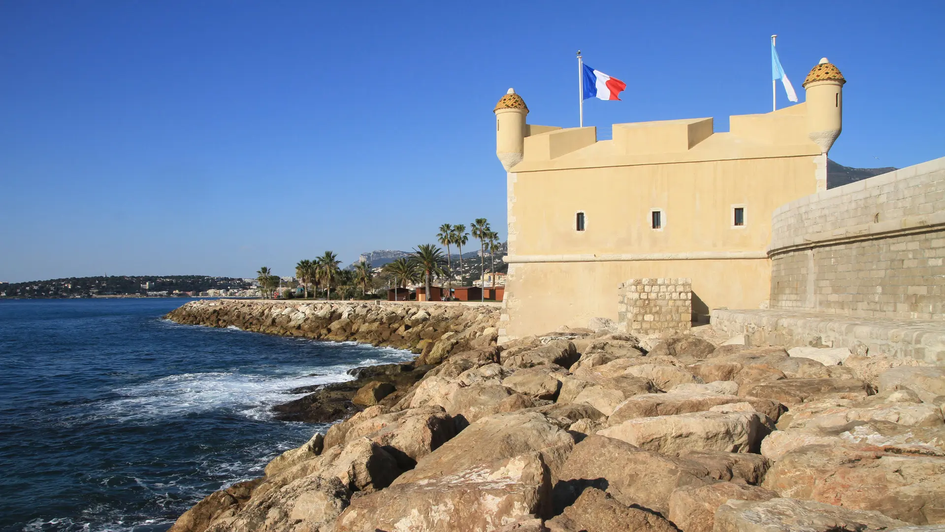
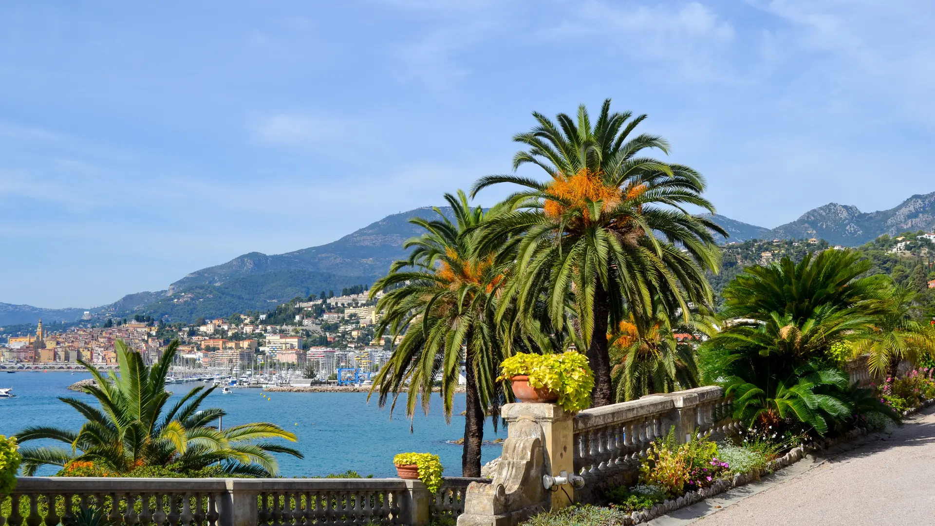
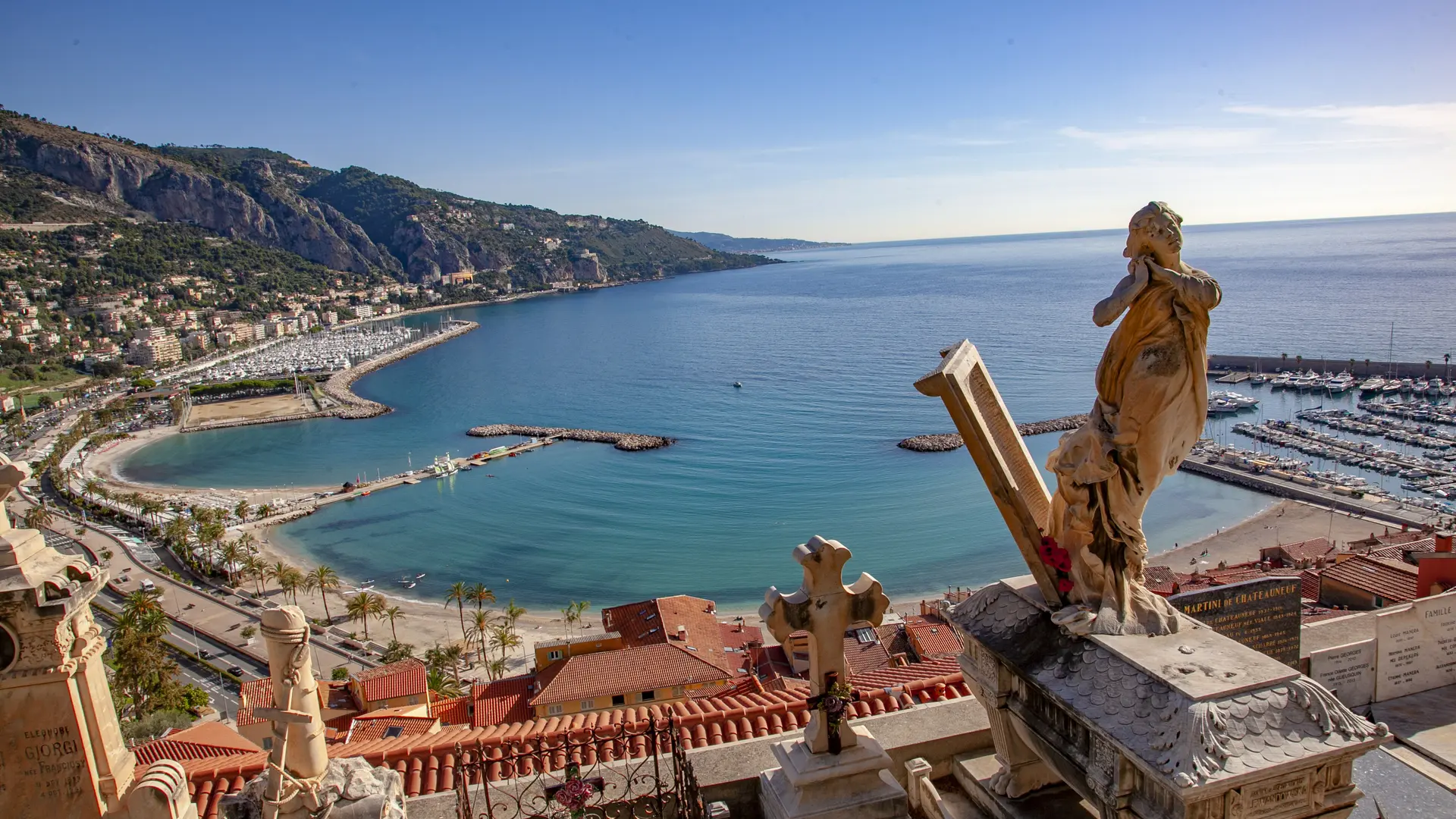
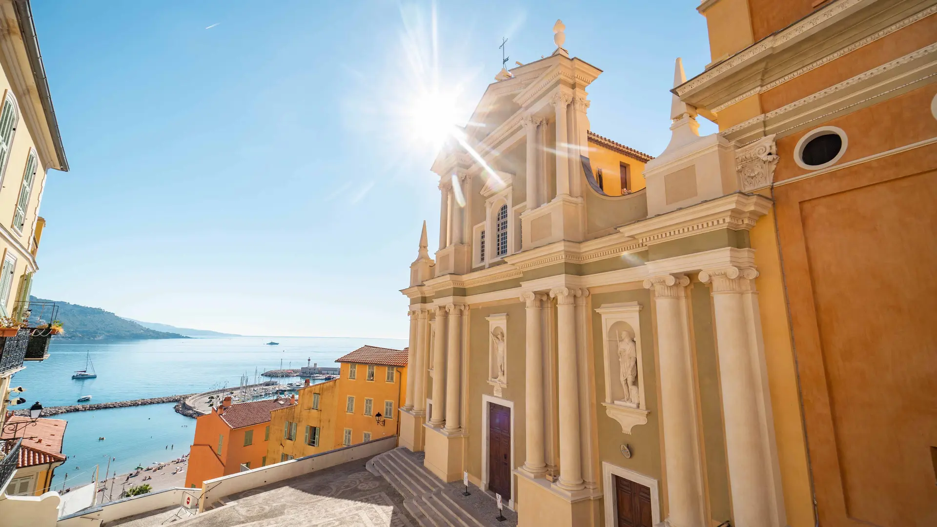
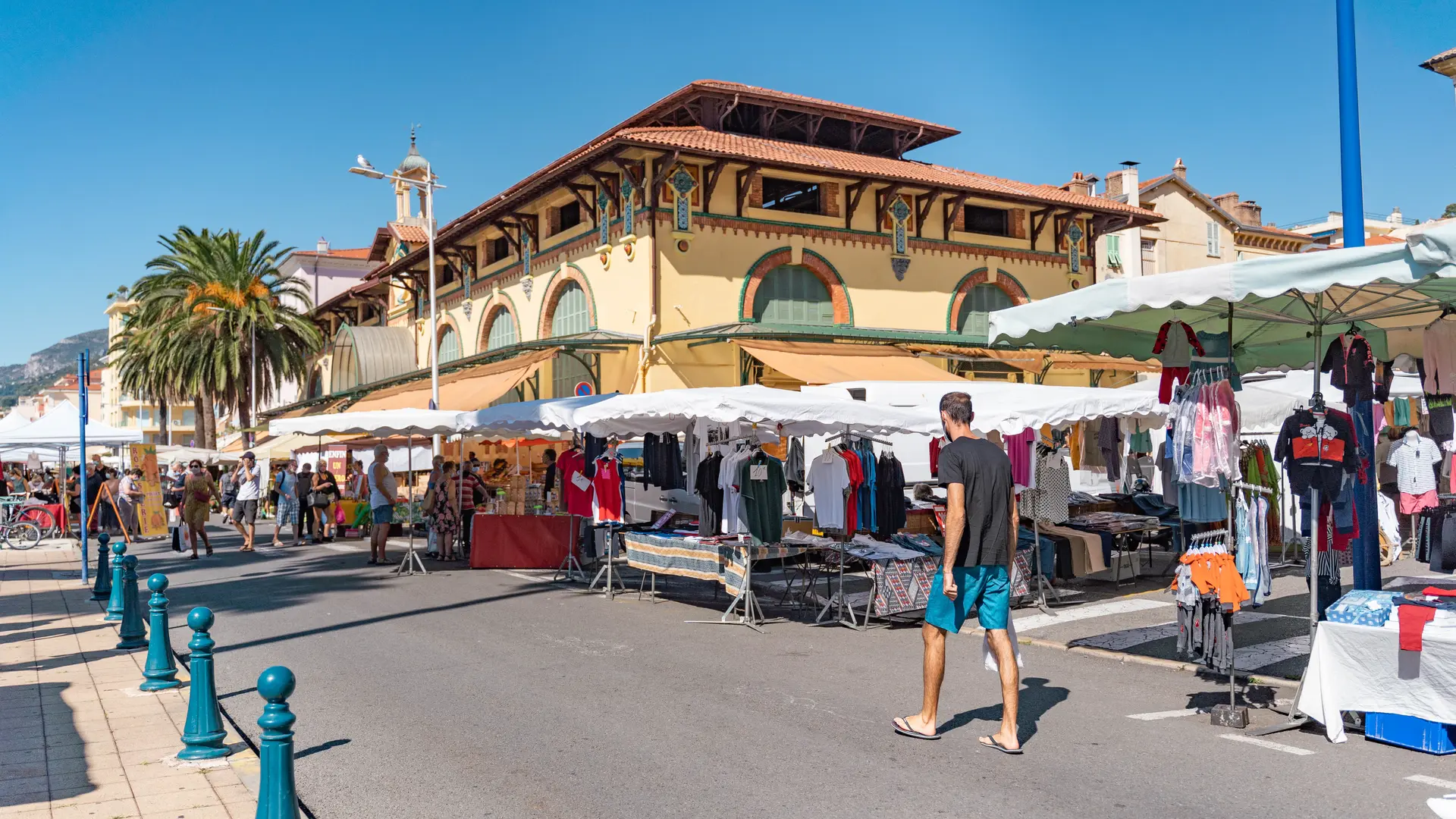
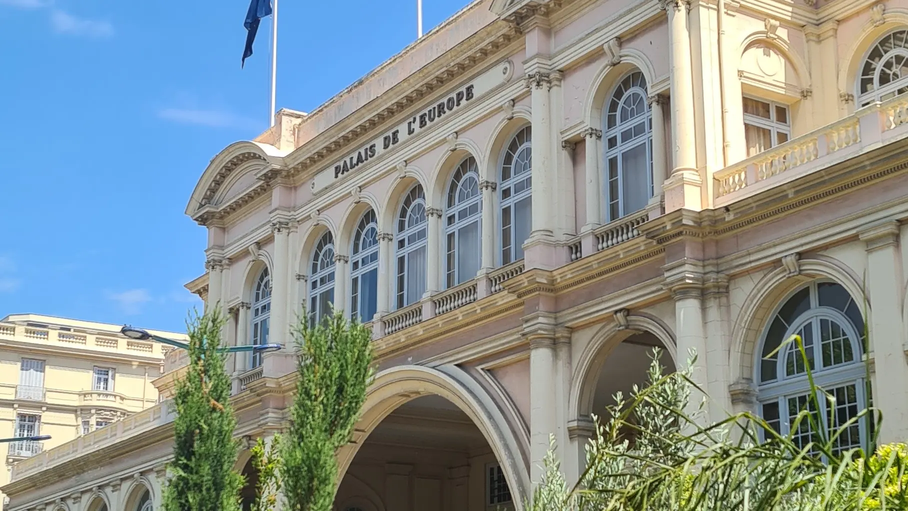
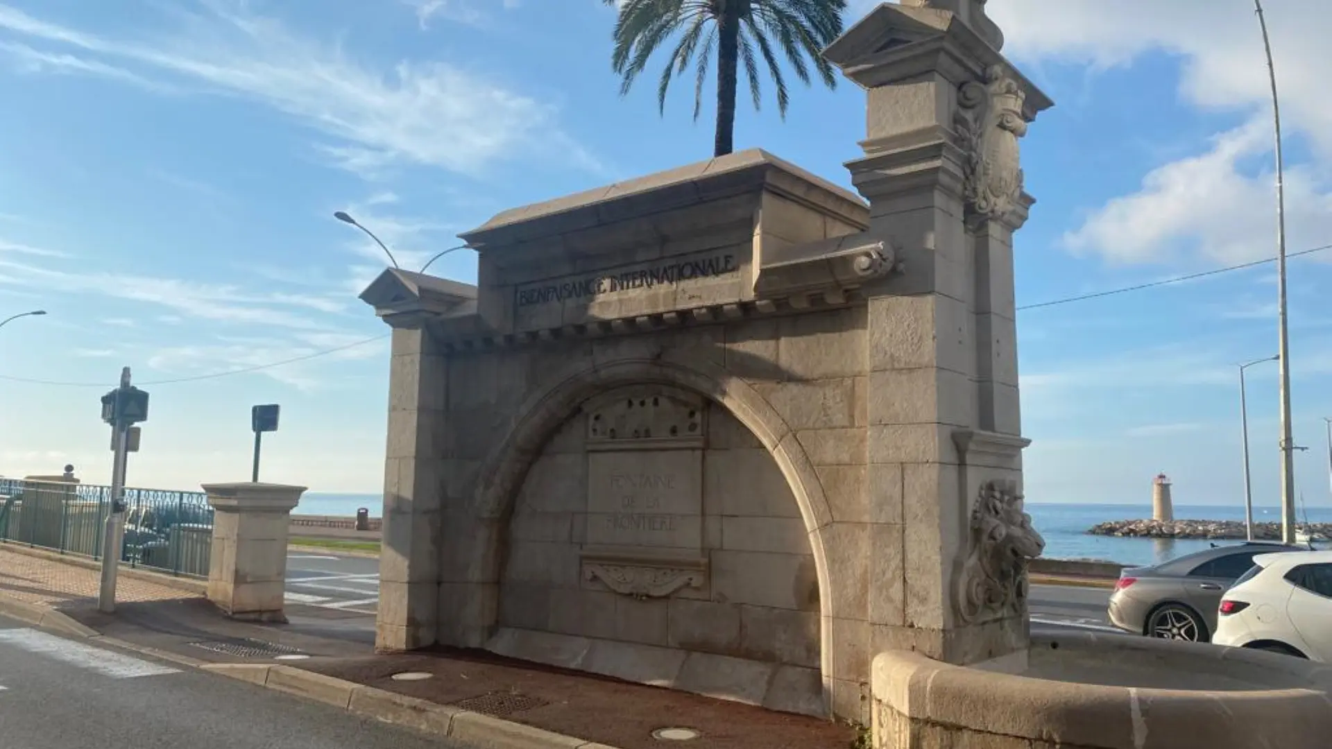
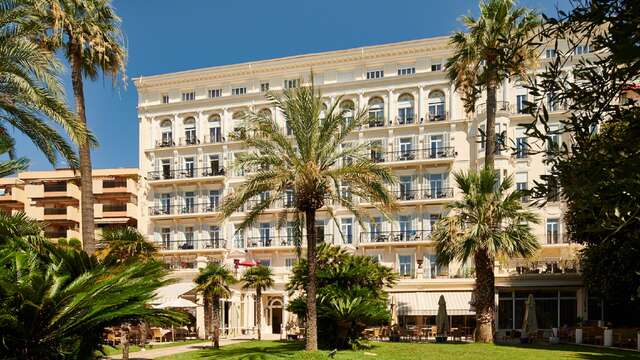
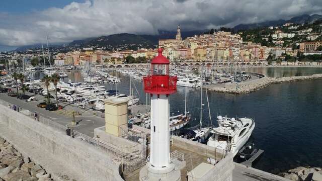
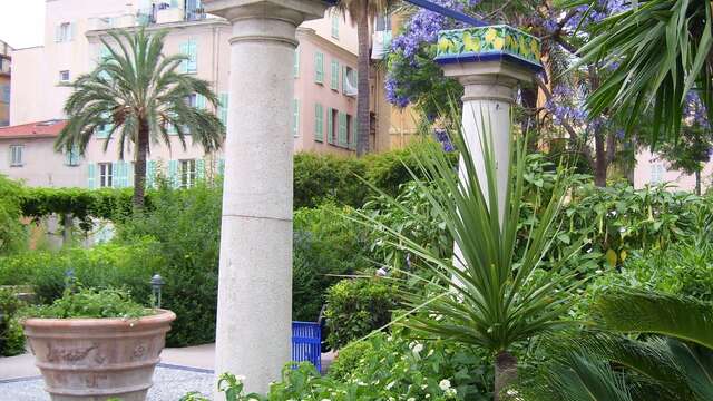
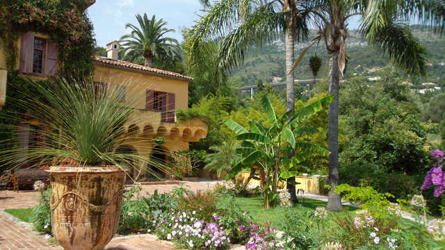
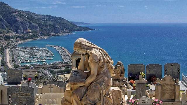
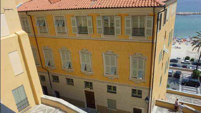
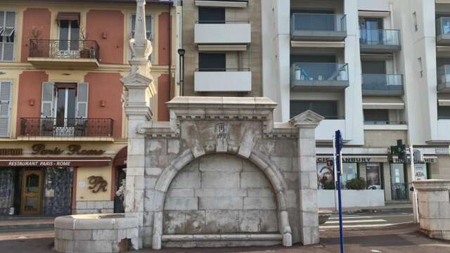
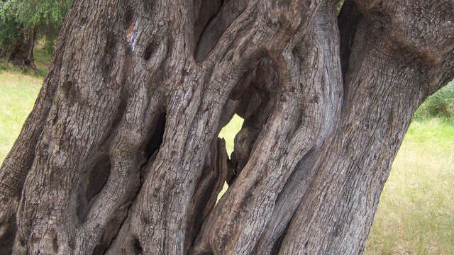
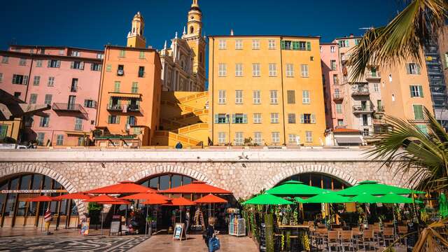
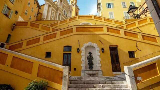
From the Menton Tourist Office, head for the seaside along the Promenade du Soleil to the Esplanade des Sablettes and then to the Port de Garavant, where you'll pass a number of watering holes, notably at the Esplanade des Sablettes. Continue to the Franco-Italian border towards the sublime Hanbury fountain, then test your endurance and harden your cardio with the climb up Avenue Aristide Briand. Follow the boulevard Garavan, with its splendid views over the old town and its many Belle Epoque villas. Take a break in the Parc du Pian in the shade of the olive trees (another watering hole) before heading to the Cimetière du Vieux Château de Menton for another splendid view of the town. Keep up the pace as you descend the stairs of the old town, passing the Basilique Saint-Michel. Back to a flat run via the Market, Hôtel de Ville, Avenue Félix Faure and Rue Partouneaux. Finish your run in style in the Jardins Biovès.
Pleasant course. Approx. 9 km.