- Voir les favoris
La Bérarde
Sport, Cycling sports, Mountain biking itinerary
in Saint-Pons
15.8
km
2h 15min
Very difficult
-
Start at the north-east corner of the airfield and follow the footpath along the edge until you reach a small road.
-
Turn right for 100m, then left onto a track.
Back on a small tarmac road, follow it in the direction of La Frache. This becomes a dirt track that you follow in the direction of Lauzeron, as far as 1672m (it's a long climb).
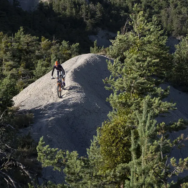
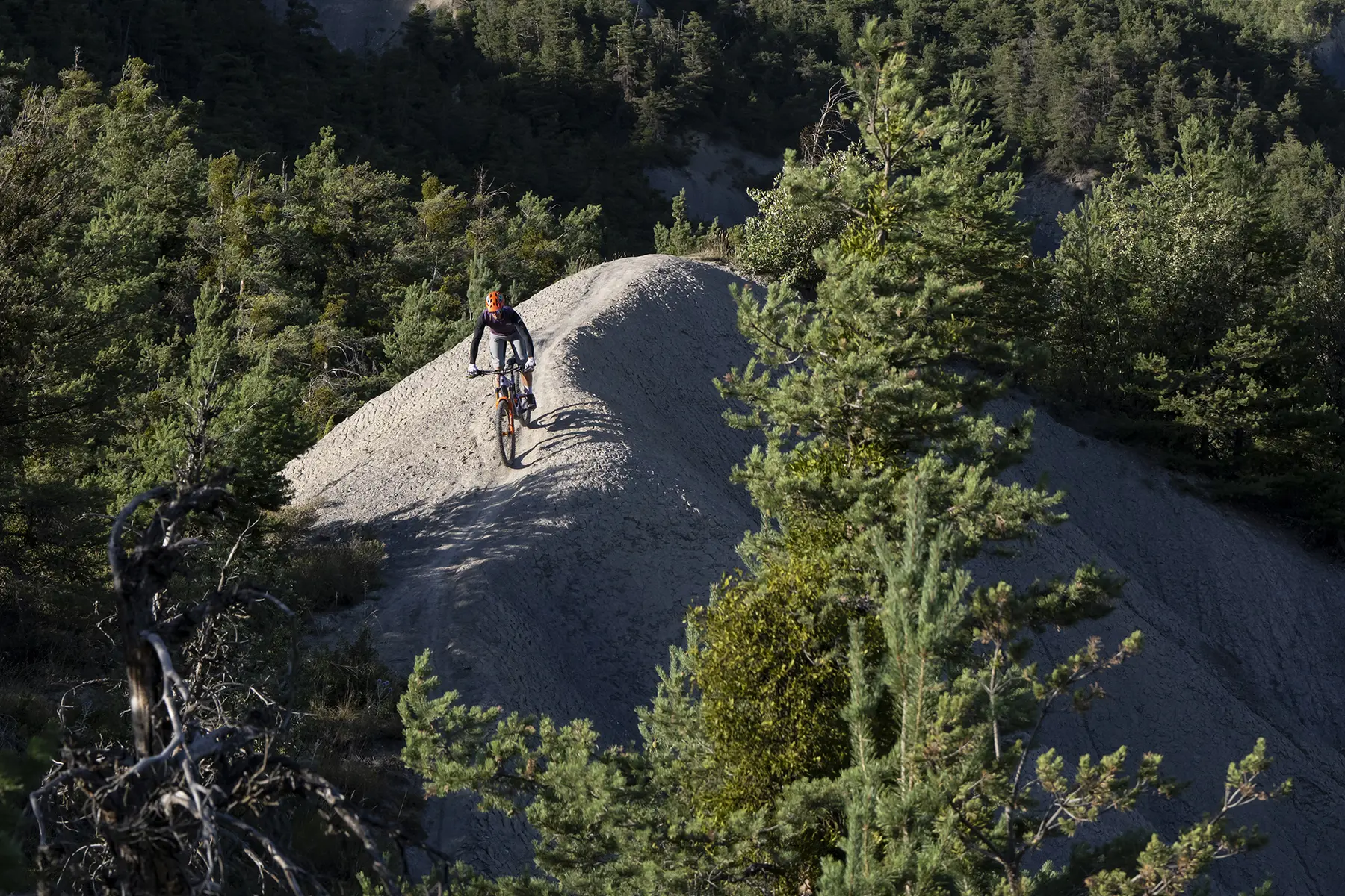
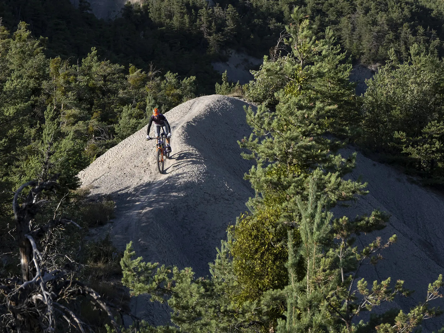
The descent begins in a field on the left, joining a track that enters the forest (be careful, it's a technical descent).
Back at the bottom of the valley, a series of ascents and descents on tracks, roads and paths takes you back to the starting point.
- Departure
- Saint-Pons
-
-
Difference in height
- 704.611 m
-
-
-
Plain text rates
- Free access.
-
-
-
Documentation
- GPX / KML files allow you to export the trail of your hike to your GPS (or other navigation tool)
-
-
-
Accepted customers
-
- See all reviews
- 705 meters of difference in height
-
- Maximum altitude : 1764 m
- Minimum altitude : 1103 m
- Total positive elevation : 705 m
- Total negative elevation : -705 m
- Max positive elevation : 502 m
- Min positive elevation : -643 m
