-Tourist office Z1 Square Reda Caire. Follow signs for "Source des Nayes".
From the Tourist Office, take boulevard de la Libération to rue
Jean Jaurès (main street) and turn right for 120 m to reach Place du
Place du 04 Septembre (Fontaine).
-Place du 04 Septembre Z2/3. Follow signs for "Source des Nayes".
At Place du 04 Septembre, take the road to Plan d'Aups Sainte Baume (RD 480). After the bridge over the Huveaune, follow the road for 150 meters and turn right onto Route des Nayes. Blue" route
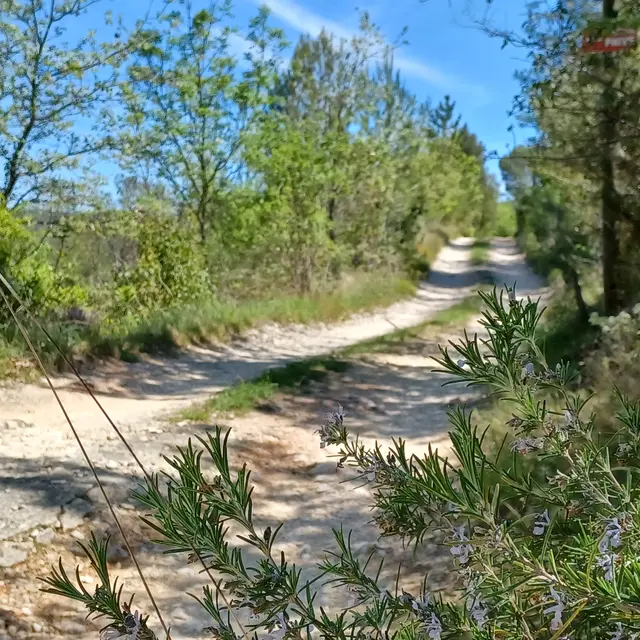
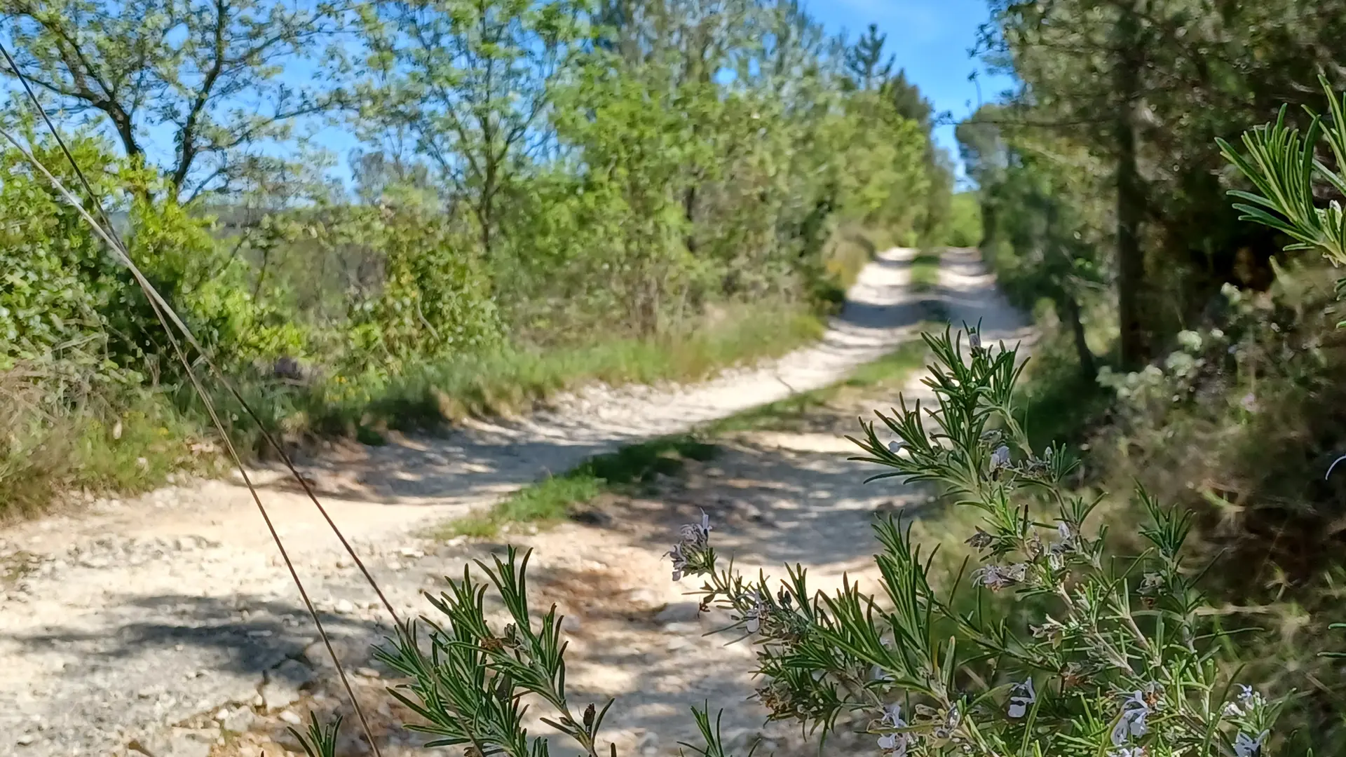
-Les Nayes Z4. Follow signs for "Pont d'Orgnon". Pass the Source des Nayes, then follow the course of the Peyruis stream, sometimes on the right bank, sometimes on the left, to reach the Pont d'Orgnon bridge. Follow the calade to the RD 480 road, which you climb 1 m to reach the crossroads. Blue" route
-Pont d'Orgnon Z5. Junction RD 480 / Piste des Sources.
Follow "Bergerie de Peyruis par Chambeyron".
At the crossroads formed by the RD 480 and the DFCI track (Piste des Sources), stay on the RD 480 and follow it for 0 Km 7 to the Lazard oratory crossroads. Follow the path overhanging the RD 480, cross it and ford the Peyruis stream, then follow the "Rouges-gorges" path up the right bank to the Angèle bridge. Blue" trail
-Pont d'Angèle Z10. Follow ''Bergerie de Peyruis par Chambeyron''.
Exit to the left below the bridge and take the Héliport track.
Route ''Bleu
-Chambeyron crossroads Z11. Follow ''Bergerie de Peyruis par Chambeyron''.
Leave the Héliport piste and turn right into the Vallon de Chambeyron
then begin the descent towards the RD 480 and the Pas de Peyruis via the Chemin des Bousquatiers. At the RD 480, turn left and cross the bridge over the Peyruis.
Blue" route to St Jacques oratory.
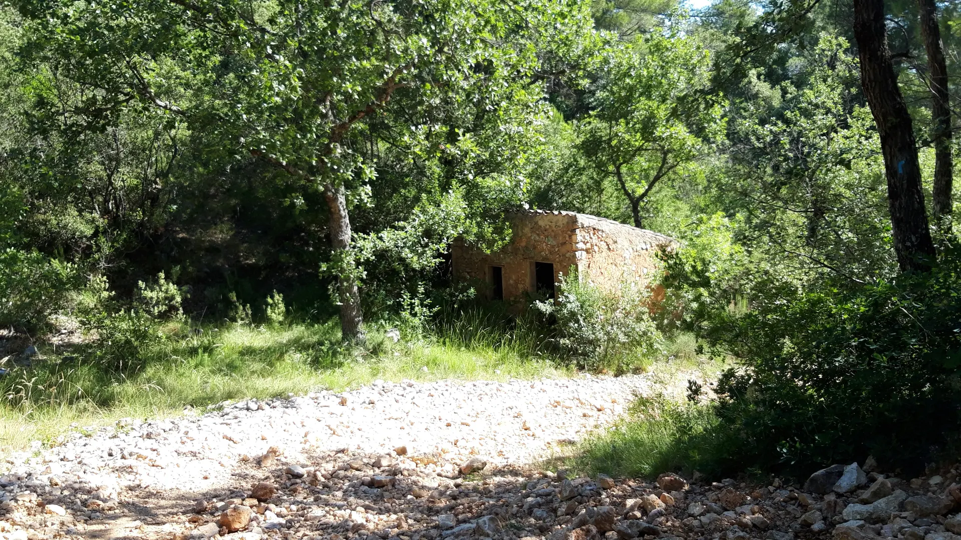
-Pas de Peyruis/Bergerie de Peyruis Z9. Follow "La Verrerie".
At the oratoire de St Jacques (on the right of the road) leave the RD 480 and
go right up to the remains of the Bergerie. Follow an old track to the Carrefour de la Verrerie. Blue" route
-Carrefour Piste de la Verrerie (S 51) and Piste de l'Eau (VC no. 2) Z8. Follow signs for "Saint-Zacharie par le Défens". Do not take the Piste de l'Eau, but continue west on the Piste de la Verrerie (DFCI tanker no. SZE 12).
-Carrefour des Enfers Z7. Follow signs for Saint-Zacharie.
Take the Piste du vallon de la Citerne (S 81). Steep descent (cabin on left). Join the Piste du Défens and follow it to the left.
-Piste du Défens Z6. Follow signs for Saint-Zacharie.
Go right down the path at the bottom of the valley.
-Le Pont d'Orgnon / Crossroads RD 480 / Piste des Sources Z5. Follow signs for Saint-Zacharie. Find the junction of the RD 480 and the Piste des Sources (S 82).
From this point, follow a ½-turn route to Saint-Zacharie.
Read more