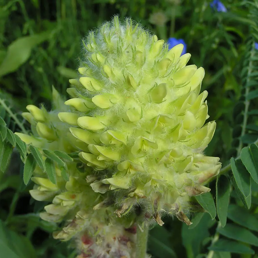
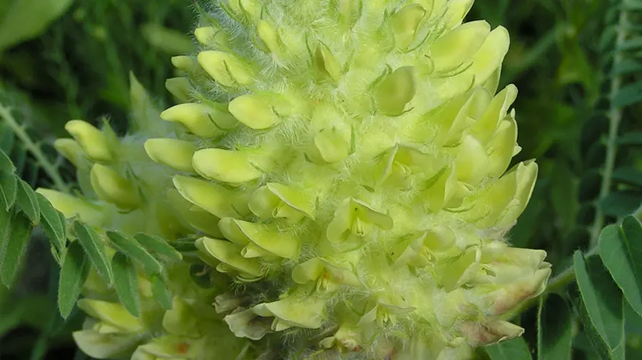
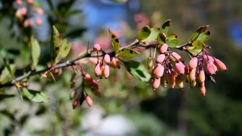
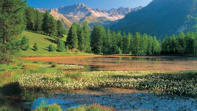
From May to August, the Astragale puts on a show at the side of the path with its clusters of yellow and brown flowers. The path climbs to Meyriès, a pretty hamlet facing south with a view over the valley, which you cross before turning right onto the balcony path. At the crossroads, don't go straight on to Aiguilles, but turn right downhill towards Ville-Vieille. Take a short detour to the Pierre Fiche menhir before returning to the starting point.
In spring and autumn, conditions are changeable, and even without snow, the trail can be icy. So the reflex in the mountains is to "go out well equipped". In my bag, I slip or I hang: crampons and poles.
In winter, the right reflexes are: snowshoes, poles, gloves, hat, sun cream and... a survival blanket! Experience is essential, and knowing when to give up is sometimes preferable to taking risks. And if you're new to the mountains, don't hesitate to call in a professional! Before going out, I check the Météo France Montagnes and BERA bulletins (risks and avalanches).