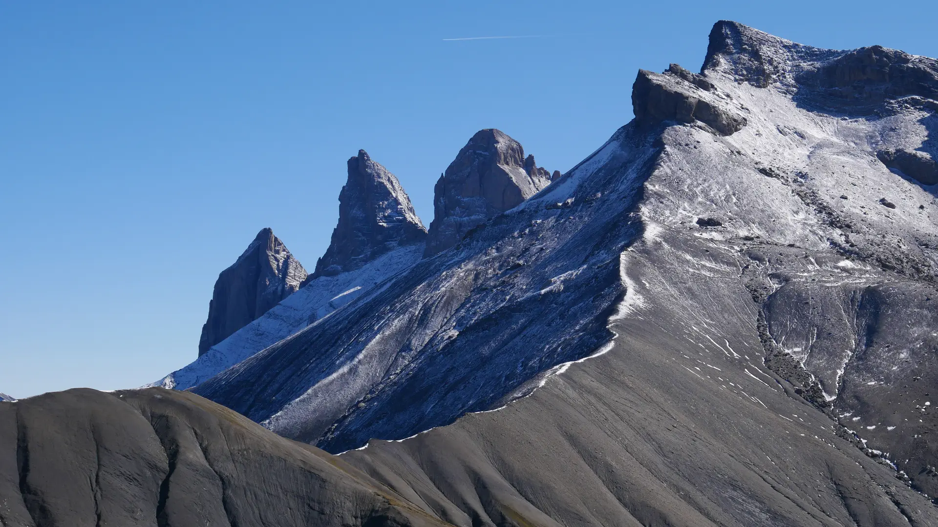
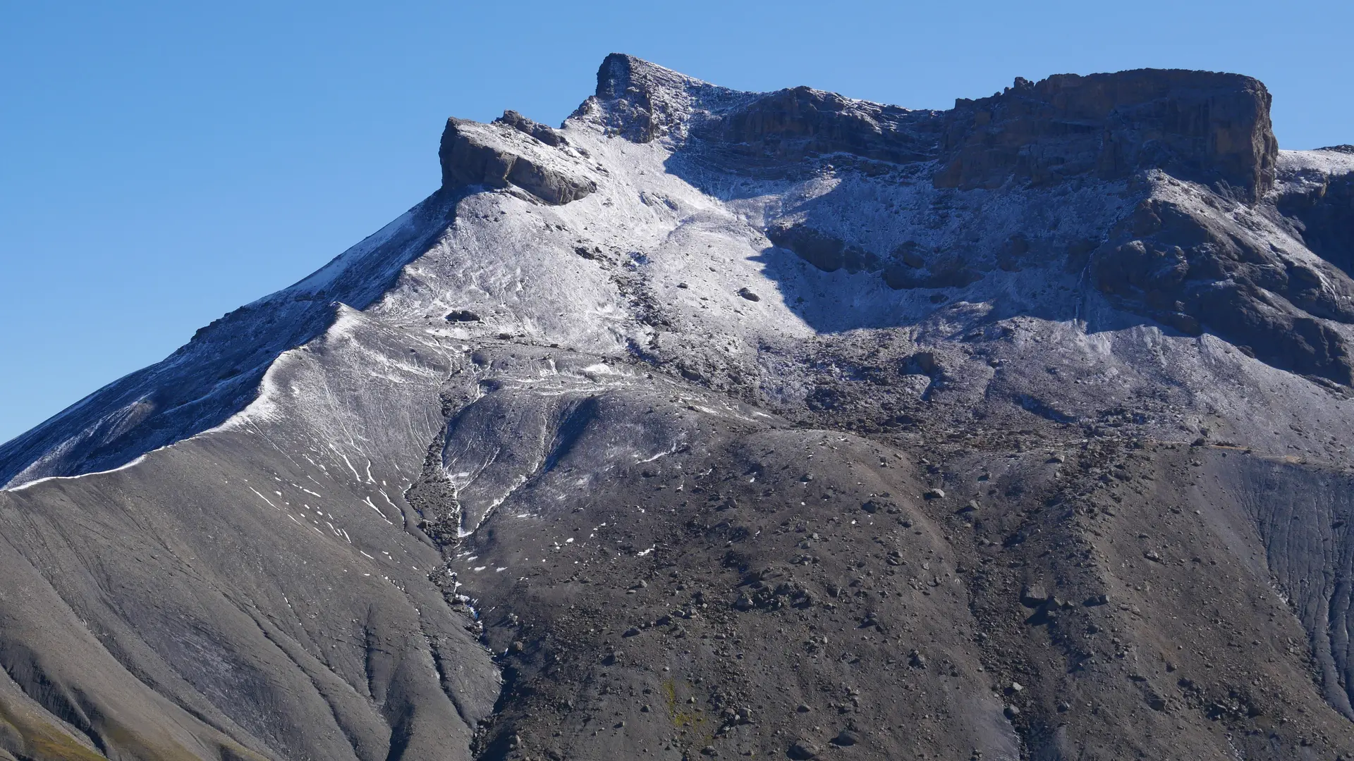
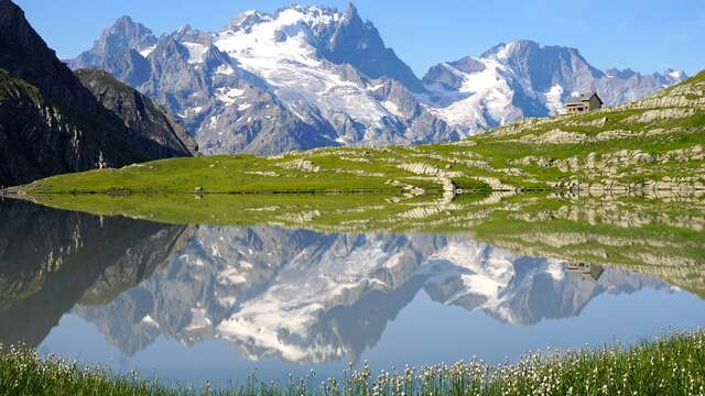
Discover the secret valleys of the Meije region with this 3-day hut-to-hut itinerary.
Whether you want to discover the activity and enjoy an extraordinary experience, or contemplate the breathtaking scenery from sunrise to sunset, this is the route for you. Over the 3 days, the positive altitude difference averages around 1000 meters, making this route accessible to most hikers. However, you'll need to be well-prepared and have the right equipment.
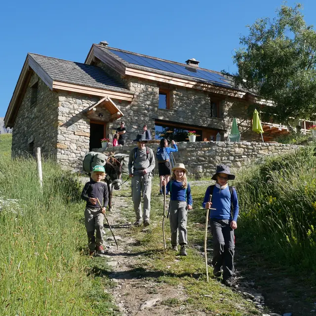
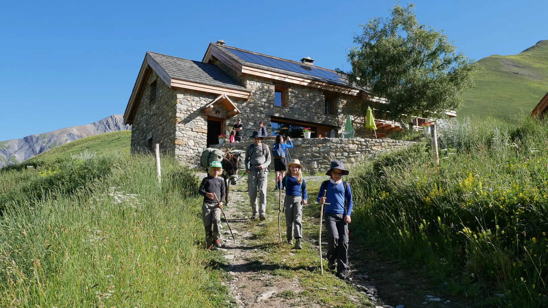
Day 1
La Grave > Refuge du Pic du Mas de La Grave
Walking time: 4h30
Difference in altitude: + 700m / - 221 m
Distance: 9.9 km
Alpine paths, small section of road, tracks
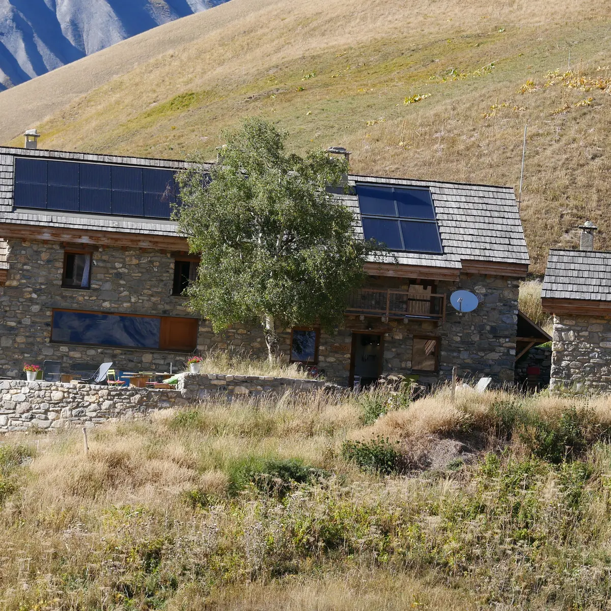
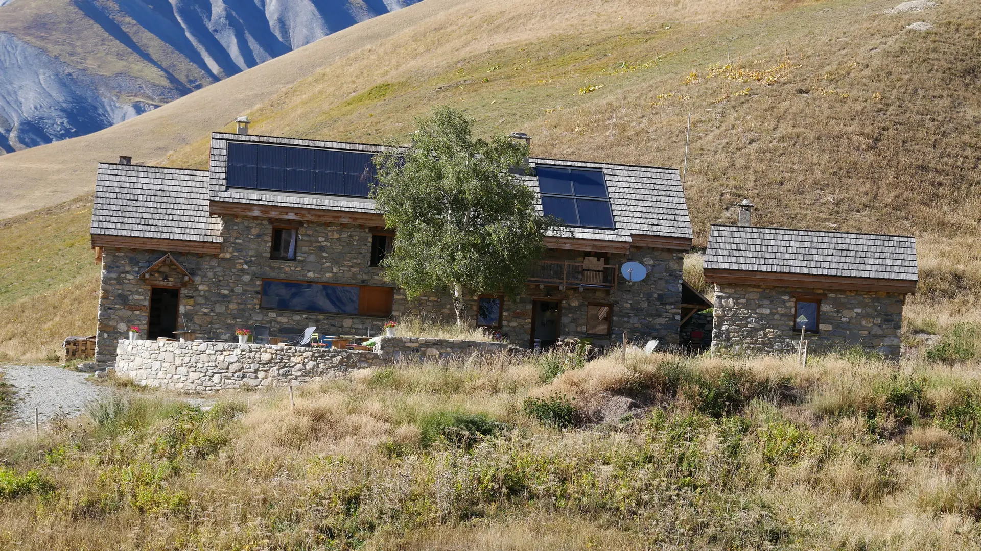
Day 2
Refuge du Pic du Mas de la Grave > Refuge du Goléon
Walking time: 7h00
Difference in altitude: + 1,048 m / - 525 m
Distance: 15.2 km
Alpine meadow paths, tracks, talweg crossings
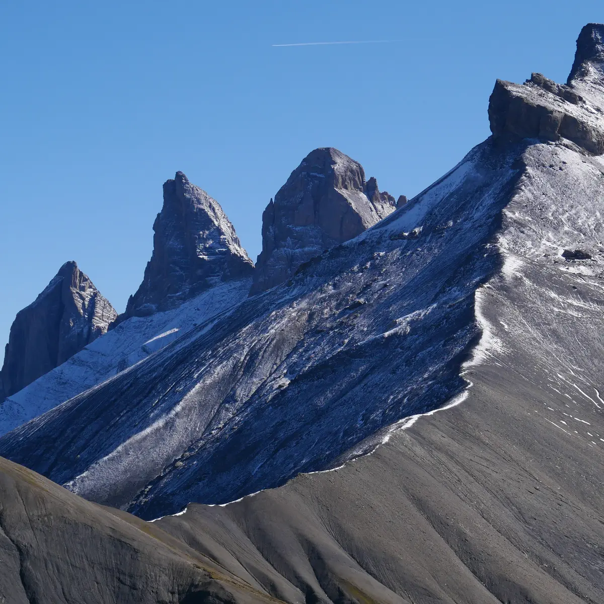
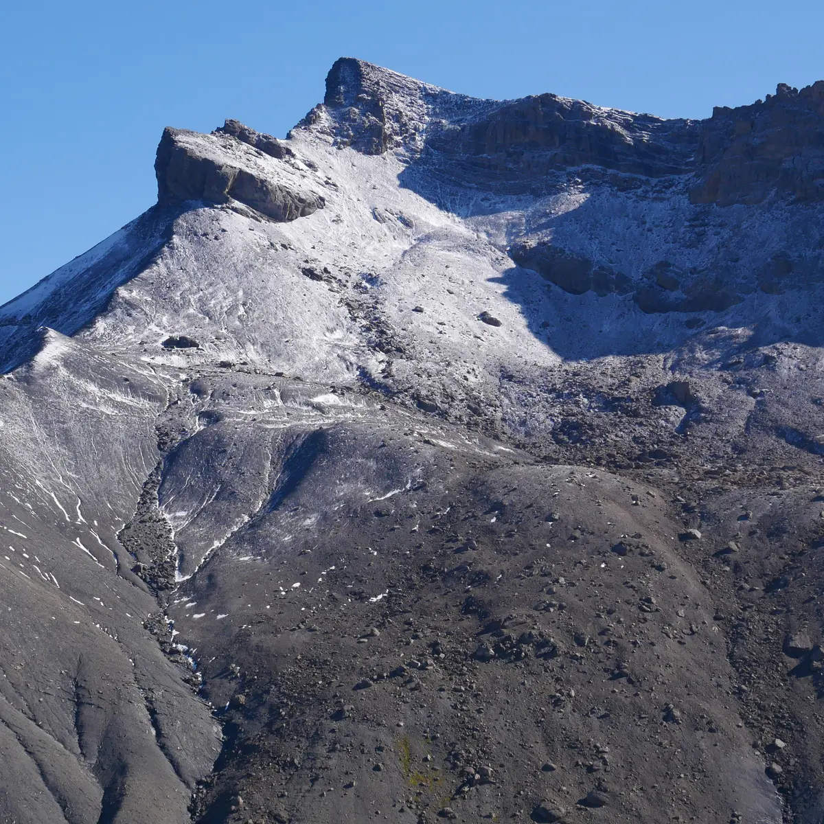
Day 3
Refuge du Goléon > La Grave
Walking time: 5h15
Difference in altitude: + 229 m / - 1 230 m
Distance: 11.7 km
Mineral trail, alpine path, track, small section of road
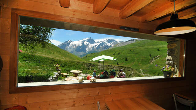
It's advisable to book refuges in advance, and they don't take credit cards, so bring cheques and/or cash.
Pets welcome Dogs must be kept on a leash to protect wildlife and avoid guard dogs in complete safety. When booking with the refuges, ask the wardens for confirmation.