Tips
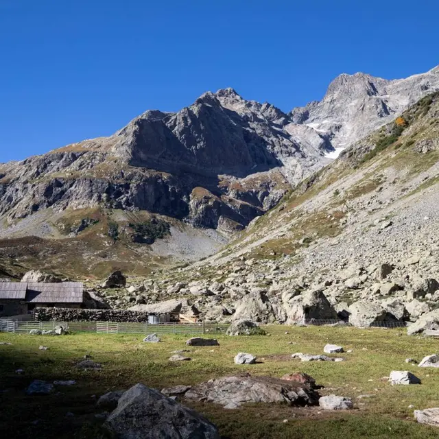
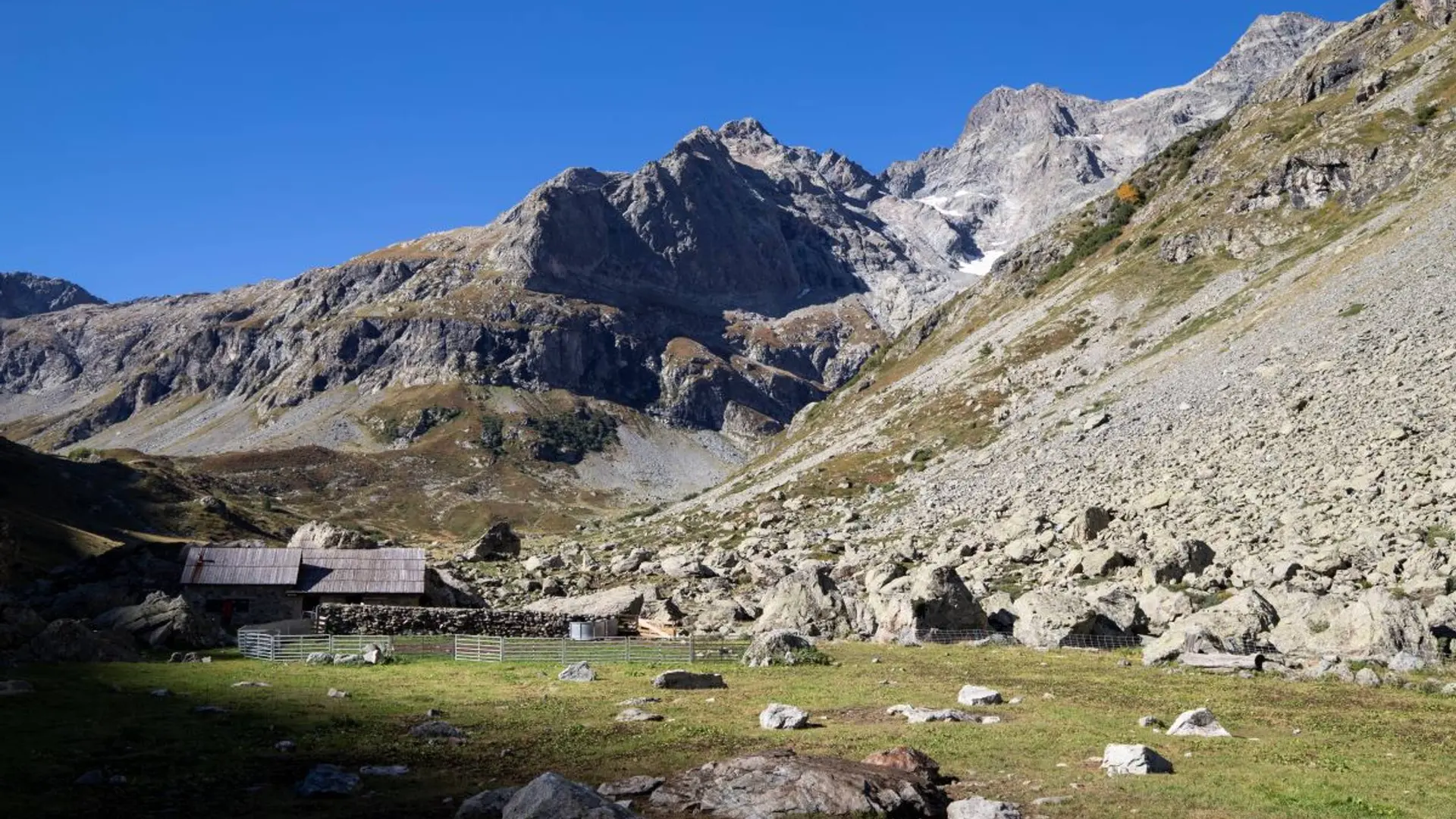
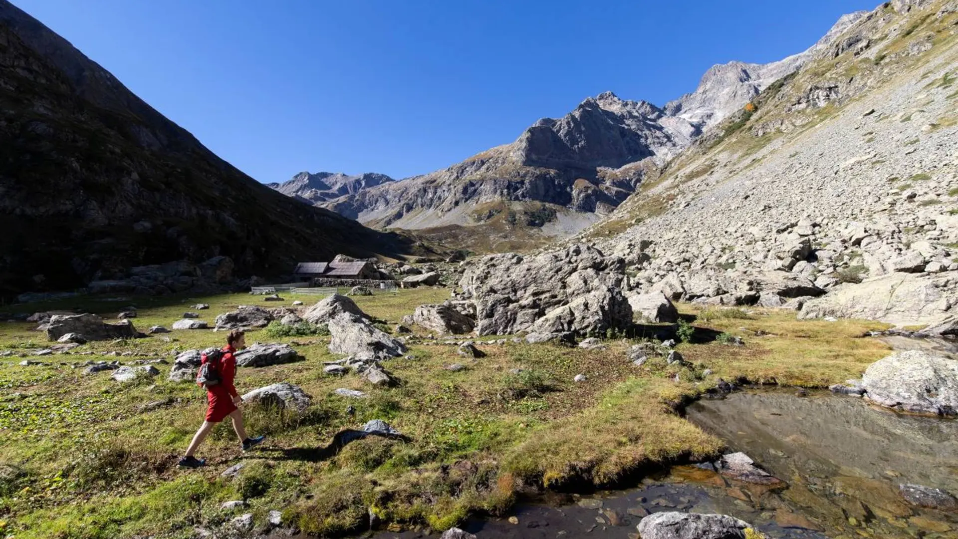
The road leading to the car park is closed in winter and opens earlier or later in in the spring depending on avalanche activity. Please do not disturb the work of the shepherd and respect her privacy at the pastoral hut.
Is in the midst of the park : The national park is an unrestricted natural area but subjected to regulations which must be known by all visitors.
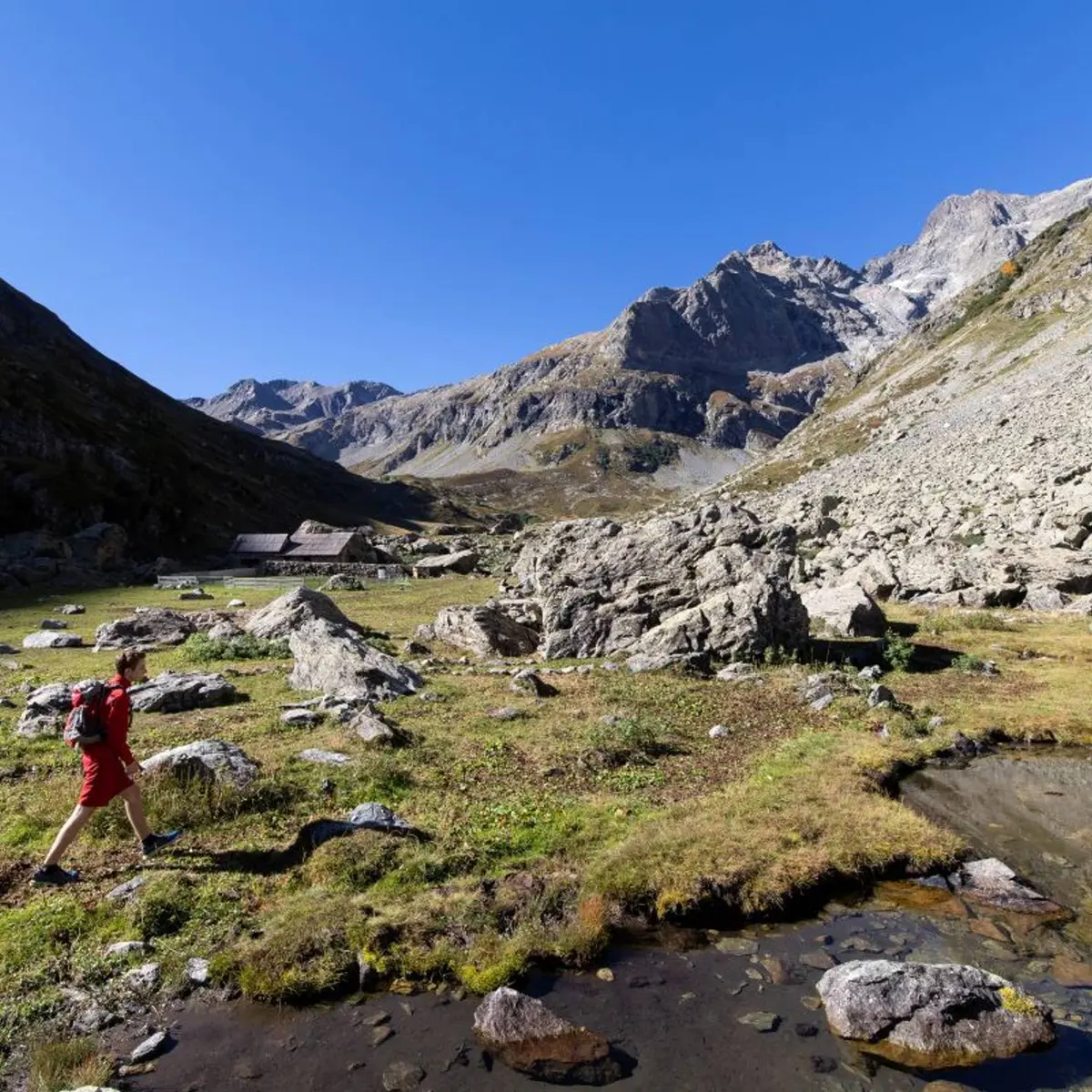
Herd protection dogs : In mountain pastures, protection dogs are there to protect the herds from predators (wolves, etc.).When I hike I adapt my behavior by going around the herd and pausing for the dog to identify me.Find out more about the actions to adopt with the article "Protection dogs: a context and actions to adopt".Tell us about your meeting by answering this survey.