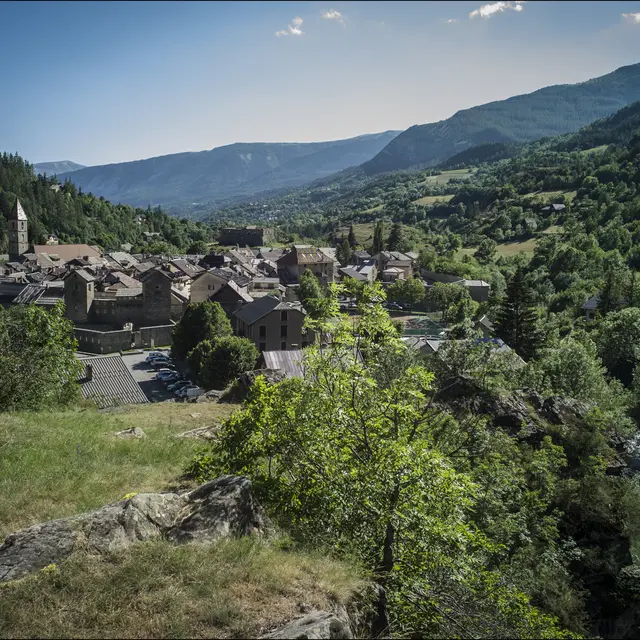
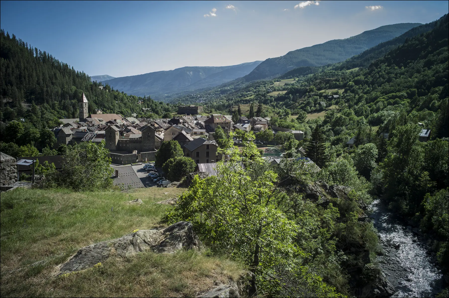
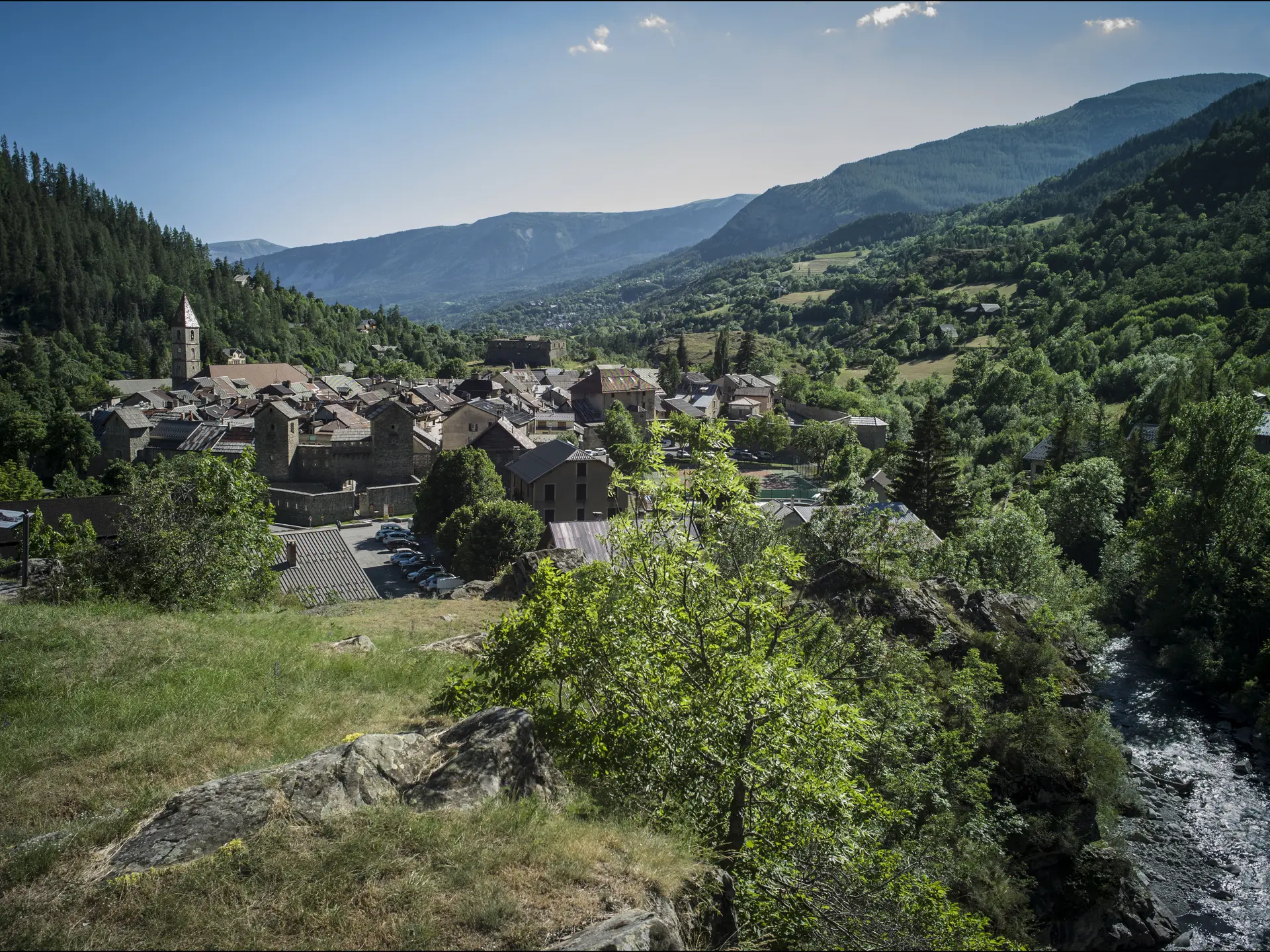
Start from the Tourist Office, heading towards the Devenson district along the public garden. At the end of the housing estate, follow the yellow-marked path that leads to the first left-hand hairpin of the Col des Champs. Continue to climb towards La Coletta, crossing the Chastelas ravine twice, which often dries up in summer.
Once you've reached the lookout, climb down from the promontory along the path that joins the Col des Champs road. Cross the road and follow the same path to the GR52A. Follow it downhill to the Fort de Savoie. From here, take the stairs up to the fortified town.
Read more