- Voir les favoris
La Conchette - Enchastrayes - La Conche
Sport, Cycling sports, Cycle tourism route
in Barcelonnette
18.4
km
-
Set out to explore Le Sauze ski resort.
It's a short "late afternoon" ride but a very challenging one. -
The three climbs are very intense and selective for experienced riders.
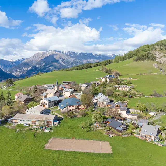
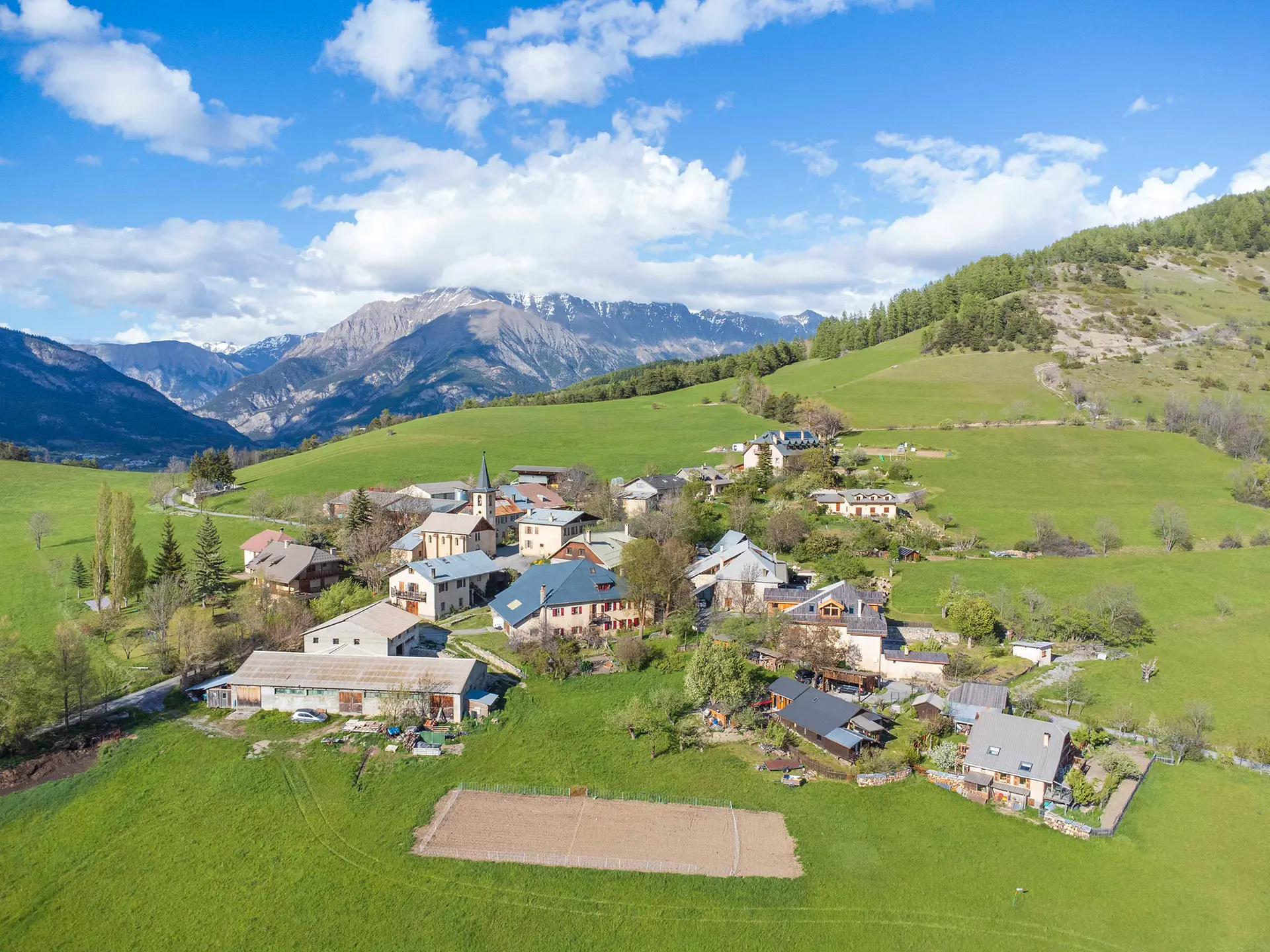
There are superb panoramic views all along the route, with dominant views of Barcelonnette and Le Sauze. The pastures of the Conchette and Conche plateaux are magnificent.
This is a very pleasant walk in summer, away from the hustle and bustle of the valley, with very little traffic.
- Departure
- Barcelonnette
-
-
Difference in height
- 513.436 m
-
-
-
Plain text rates
- Free access.
-
-
-
Documentation
- GPX / KML files allow you to export the trail of your hike to your GPS (or other navigation tool)
-
- See all reviews
- 513 meters of difference in height
-
- Maximum altitude : 1509 m
- Minimum altitude : 1137 m
- Total positive elevation : 513 m
- Total negative elevation : -513 m
- Max positive elevation : 140 m
- Min positive elevation : -311 m
