- Departure Tourist Office (post Z1) Square Reda Caire. Follow signs for "Source des Nayes".
From the Tourist Office, take Boulevard de la Libération to Rue Jean Jaurès
Jean Jaurès (main street) and turn right for 120 m to reach Place du
Place du 04 Septembre (Fontaine).
-Place du 04 Septembre (post Z2/3). Follow signs for "Source des Nayes".
At Place du 04 Septembre, take the Plan d'Aups Sainte Baume road (RD 480). After the bridge over the Huveaune, follow the road for 150 m, then turn right onto Route des Nayes. Blue" route.
-Les Nayes (post Z4). Follow signs for "Pont d'Orgnon".
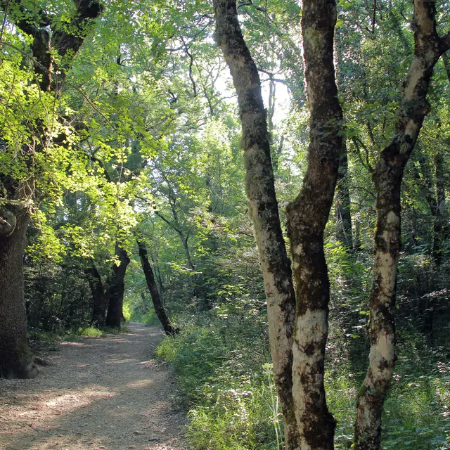
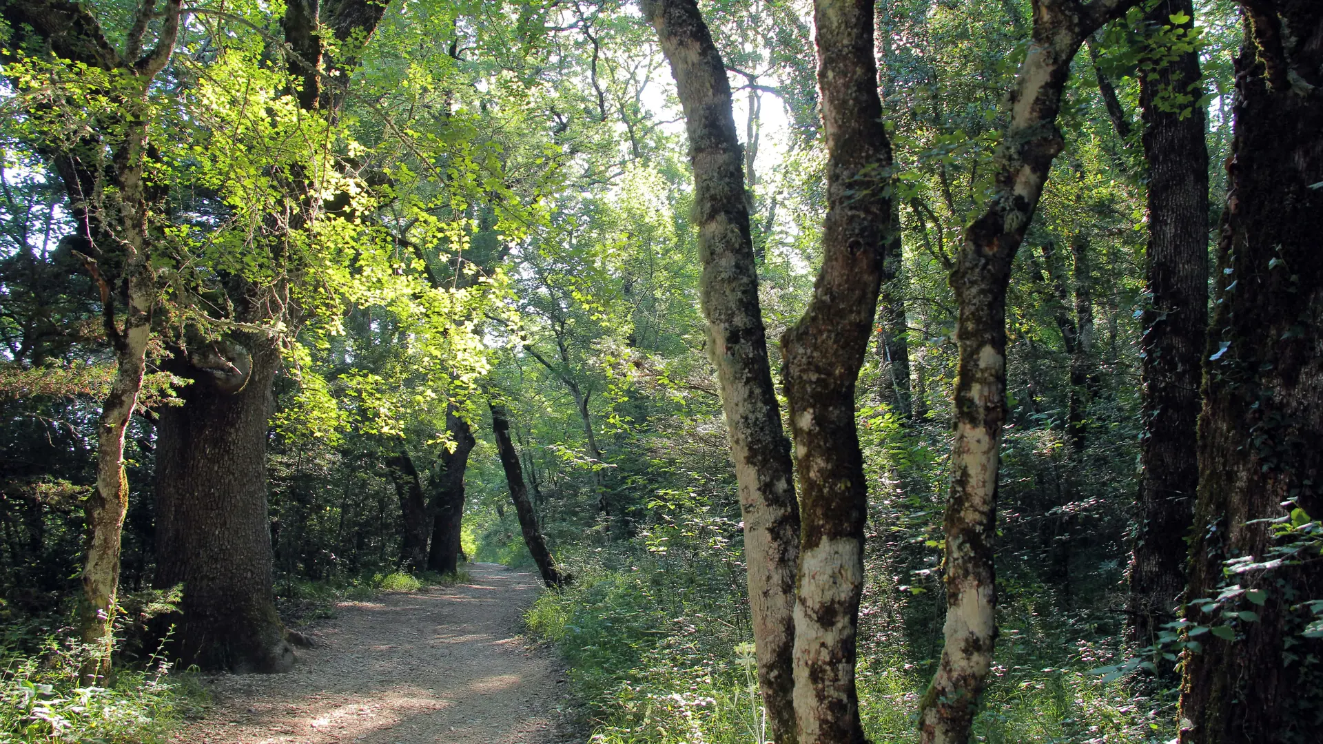
Pass the Source des Nayes, then follow the course of the Peyruis stream, sometimes on the right bank, sometimes on the left, to reach the Pont d'Orgnon bridge. Follow the calade to the RD 480 road, which you climb 1 m to reach the crossroads. Blue" route
-Le Pont d'Orgnon / RD 480 junction / Piste des Sources (post Z5). Follow signs for "Bergerie de Peyruis par le Défens".
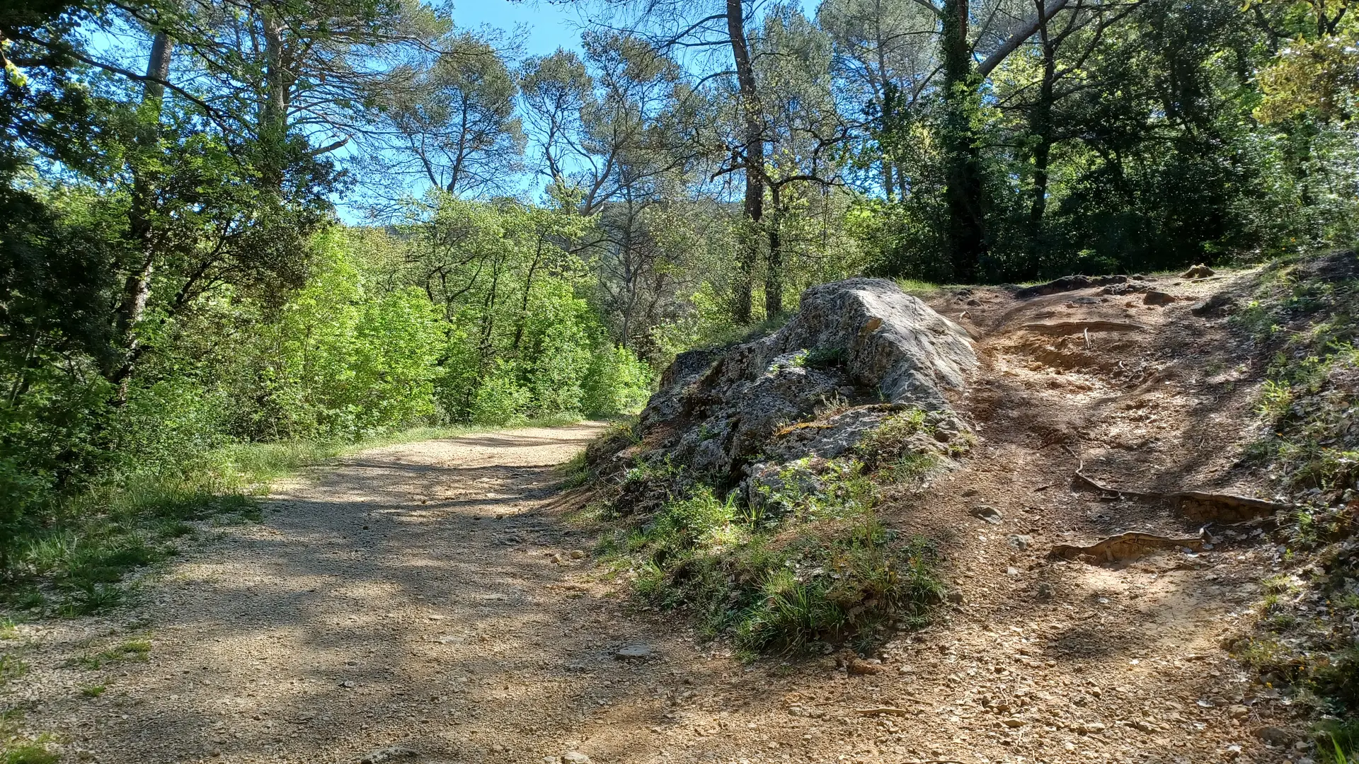
Follow the trail to the right, heading west, and arrive at a large trail junction. Blue'' trail
-Boundary of départements 13 / 83 SB 79. Follow "Source des Nayes".
At the DFCI barrier, take the path to the right and descend into the valley
between départements 13 and 83. At the bottom of the valley, take a steep right to join the Adrets track. Follow the track to the left to reach the paved Garnier road. Turn right to reach Les Nayes. Blue" trail.
-Les Nayes (post Z4). Follow "Saint-Zacharie Office Tourisme".
In ½ turn, return to Saint-Zacharie Ville. Route ''Bleu''.
-Office du tourisme (post Z1) Square Reda Caire. Arrival.
Read more