From the tourist office in the direction of Villar d'arène, take the road down opposite the "Le Sérac" hotel to the Arboretum.
At the bottom of the descent, go straight on to cross the Romanche river.
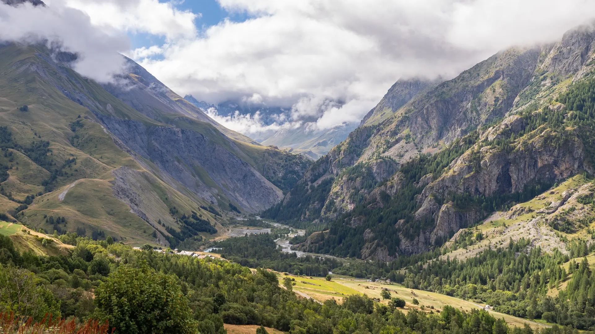
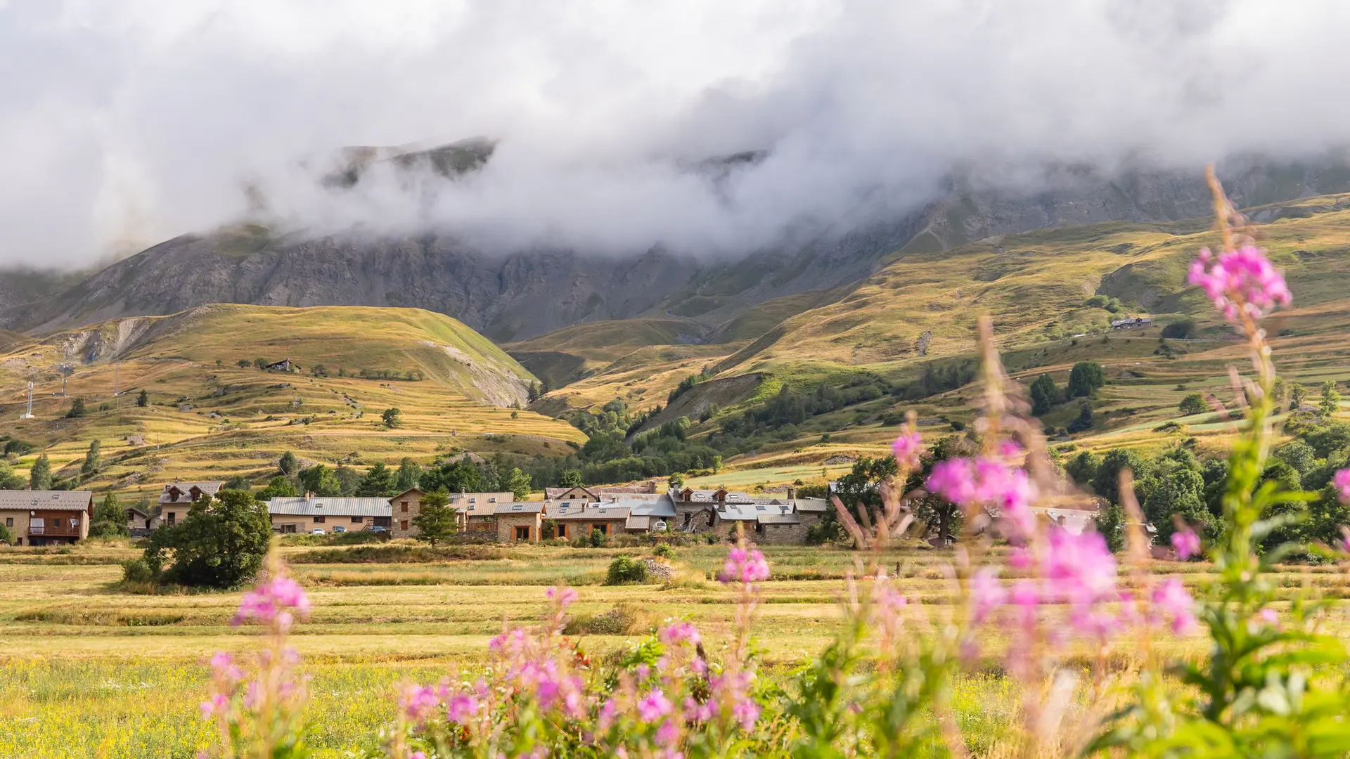
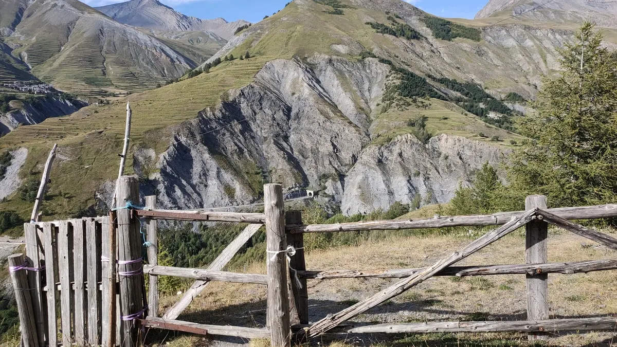
Take the path to the left of the bridge. At the fork, follow the GR50/54 up towards Les Vernois. Here, the Tabuchet glacier and the Meije dominate.
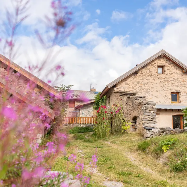
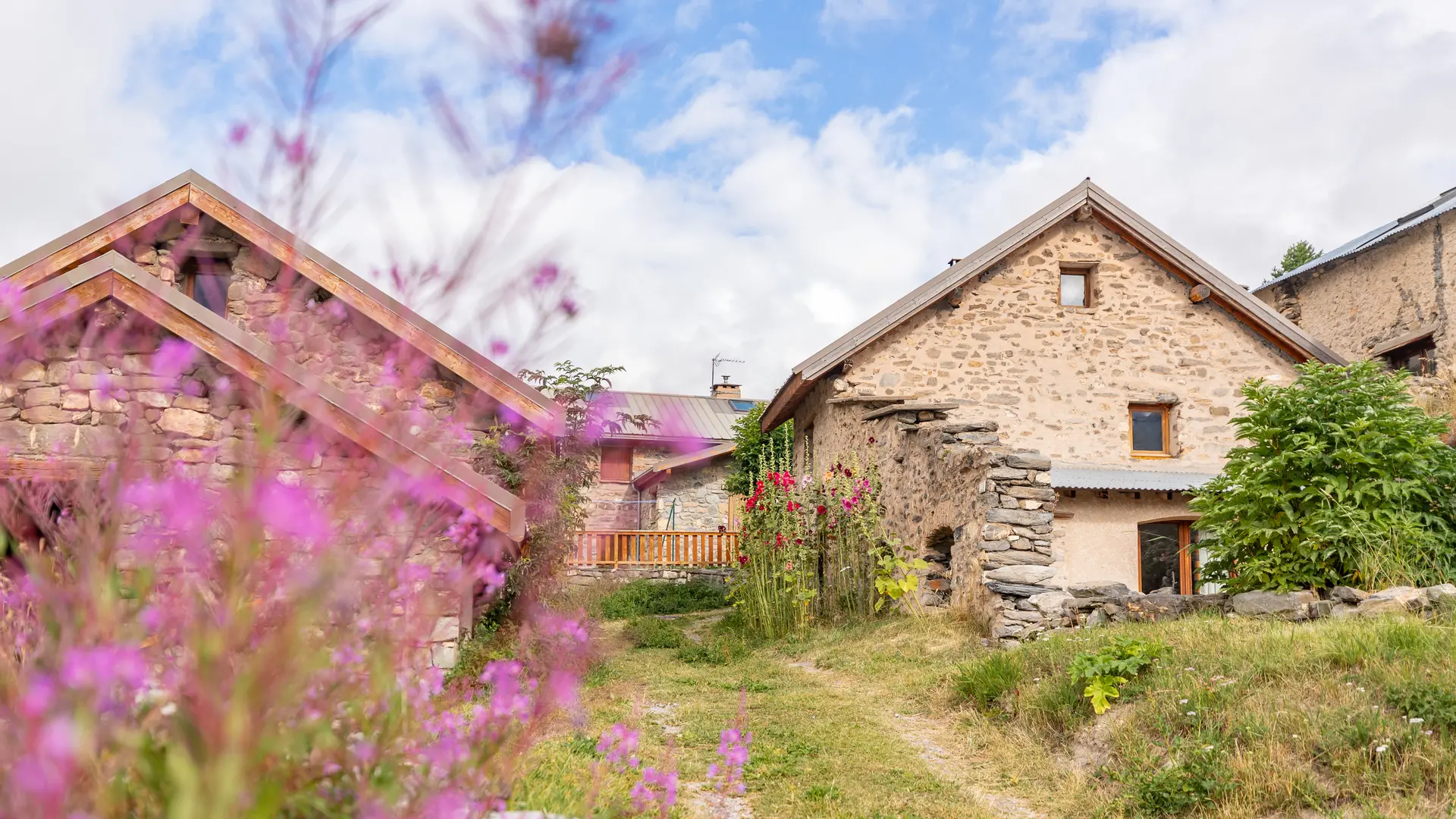
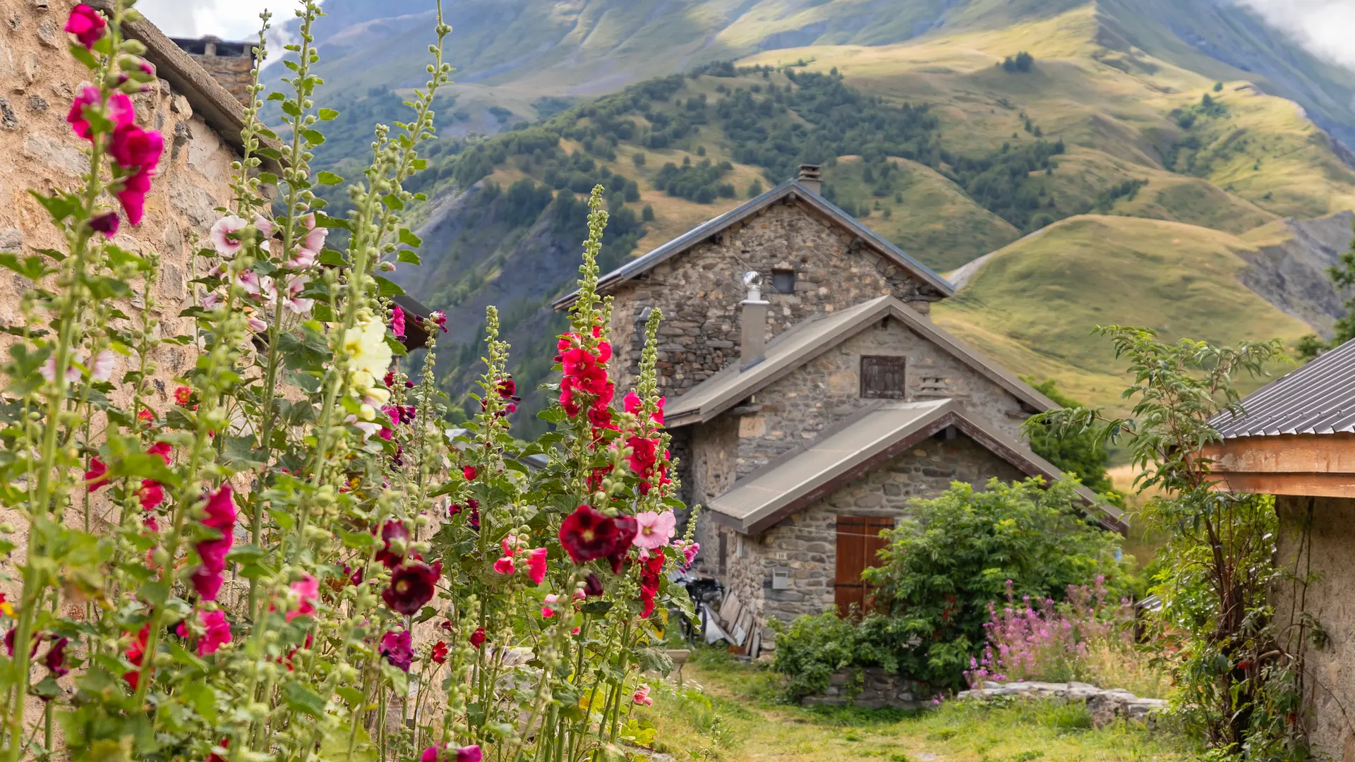
Continue, then cross the "Chal d'Outre" wood on a wide path that leads to a bridge, to cross the Romanche again and enter Villar d'Arène (1,650 m).
Climb to the 3 Frênes inn, then continue along the village square.
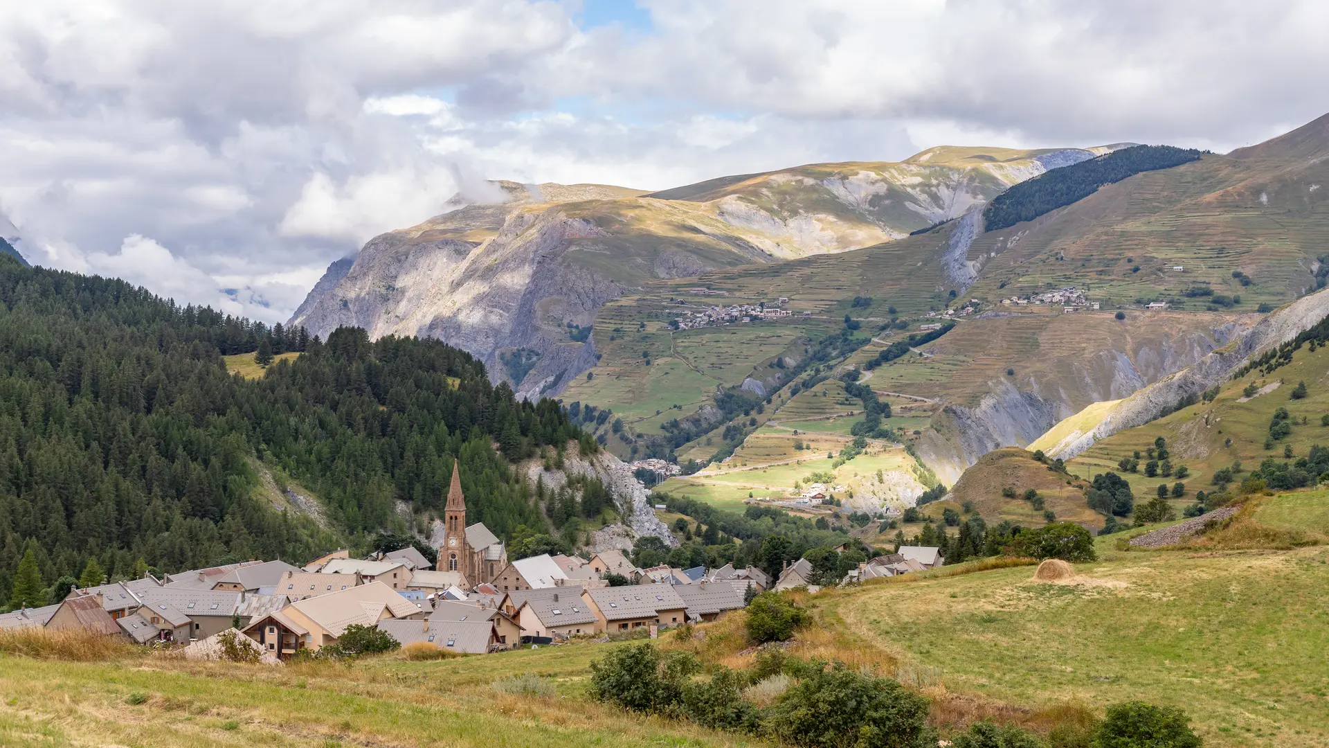
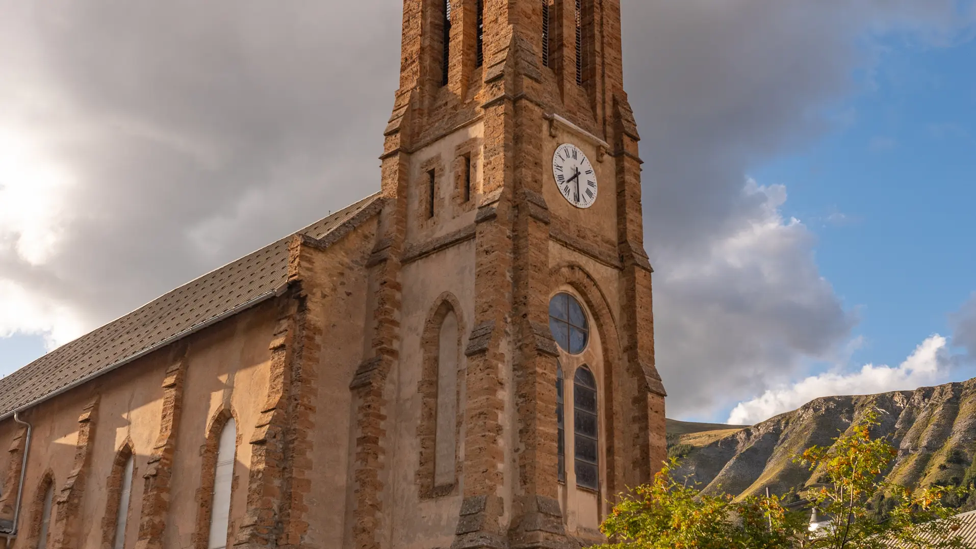
Go around the Saint Martin church, then down and take the path to the left of the cemetery.
Continue straight ahead, walking 100 m along the main road before you can pick up the path again.
The return path is on the other side of the Romanche, opposite the "allé" path.
At the first bridge, you'll reach the Arboretum.
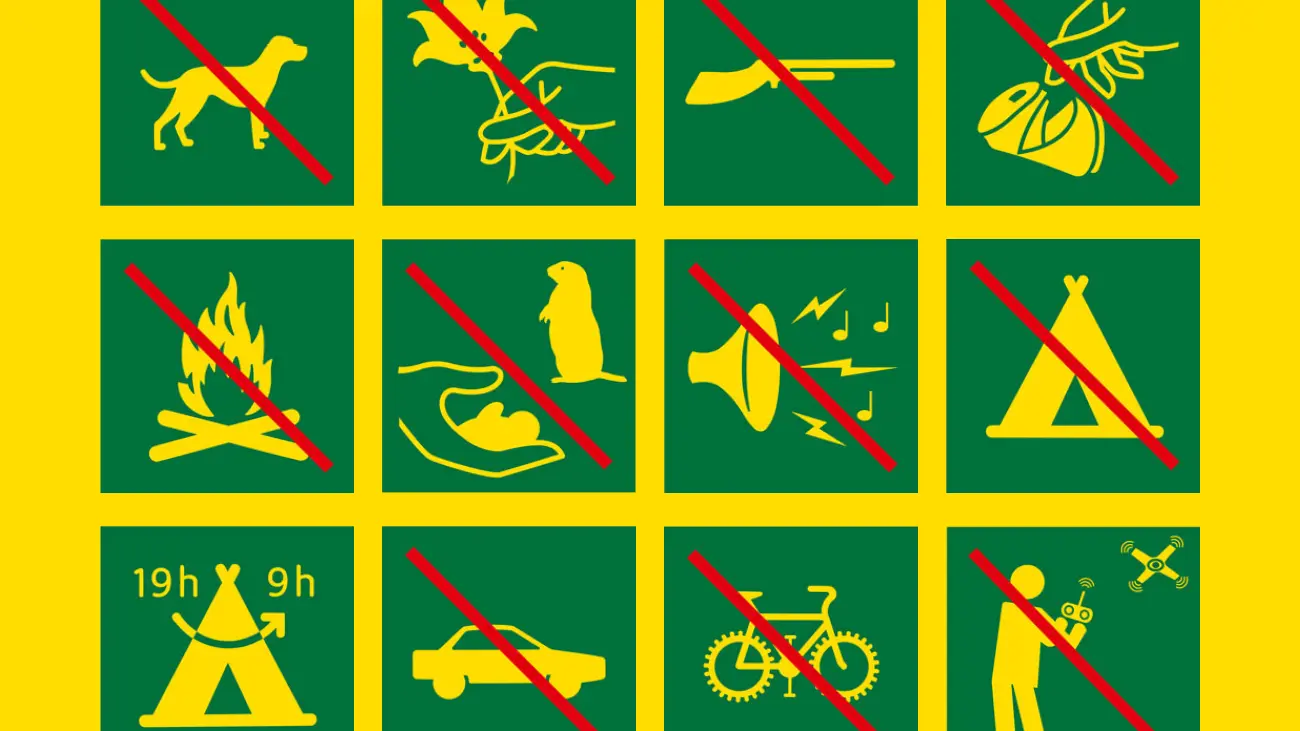
"YOU ARE HIKING IN THE HEART OF THE ECRINS NATIONAL PARK
The Écrins massif is an exceptional area, open to all, with a rare natural, cultural and landscape heritage. To protect these treasures, the heart of the park is marked with blue-white-red painted flags, where regulations must be respected. Please take note of them when planning your hike to preserve this collective asset on the ecrins-parcnational.fr website."
Read more