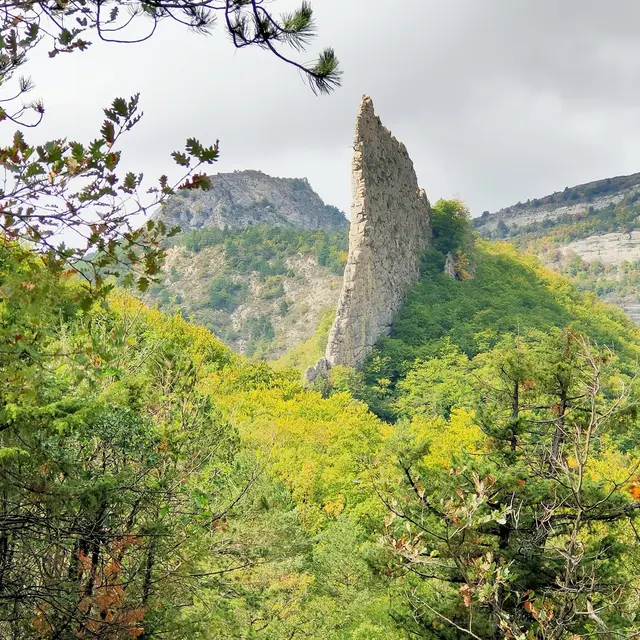
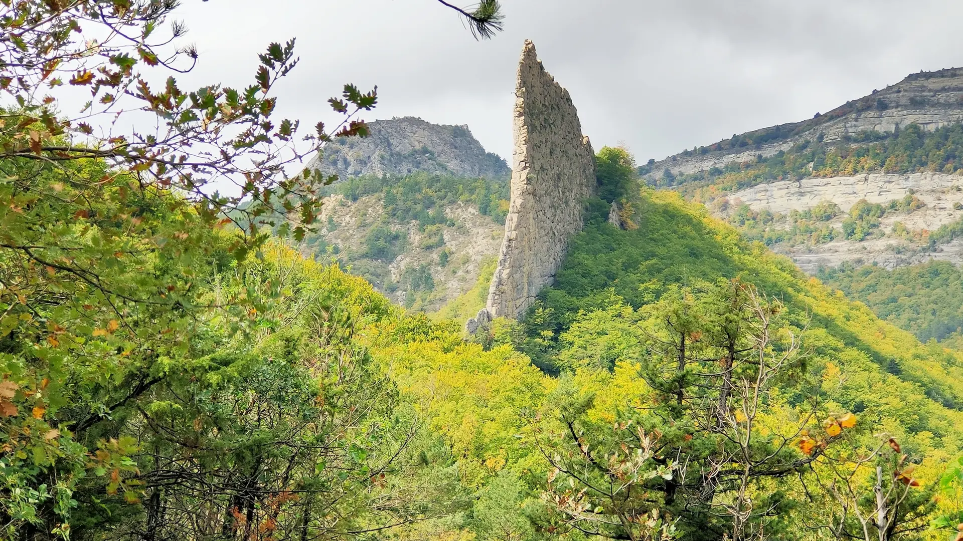
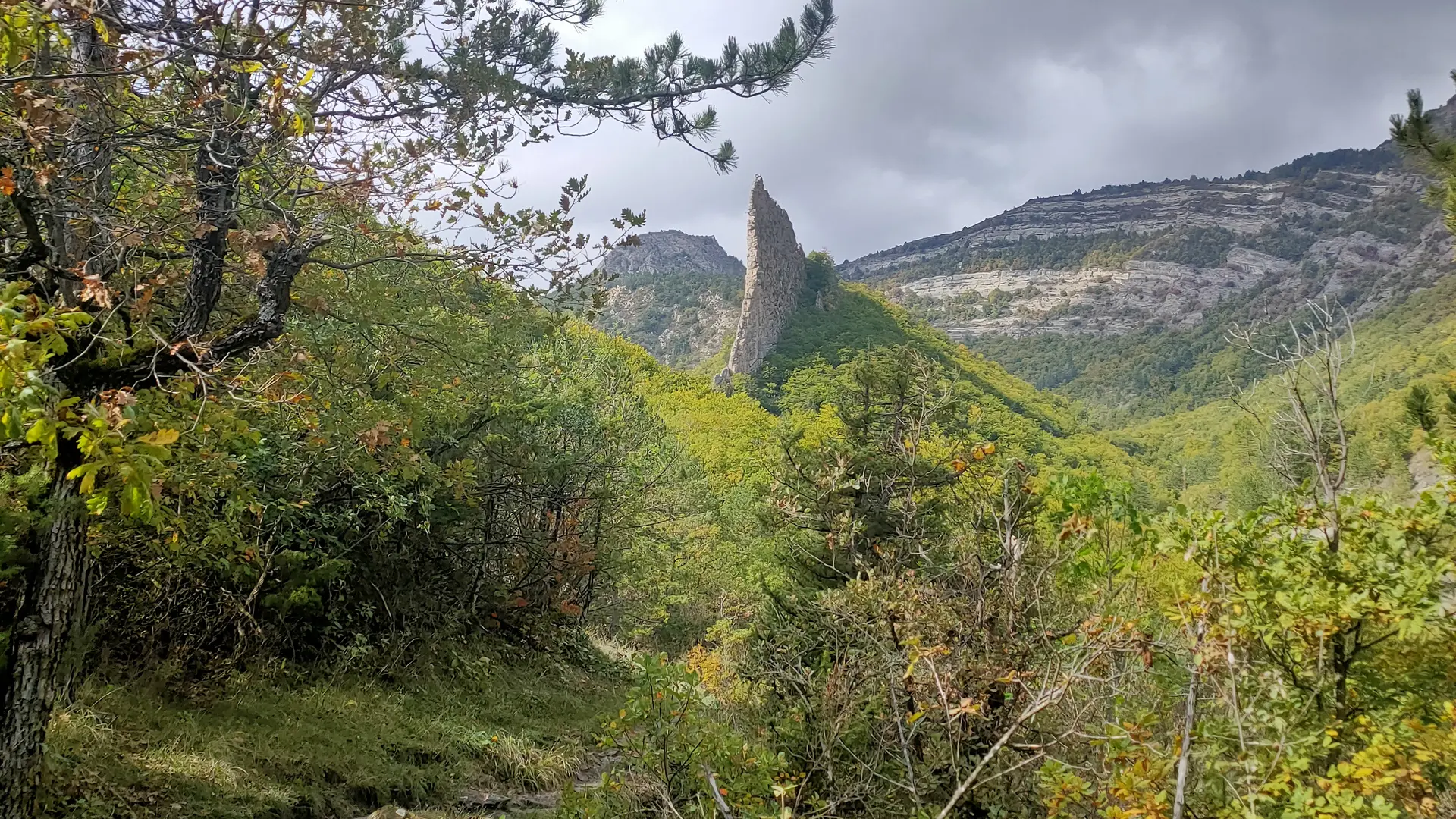
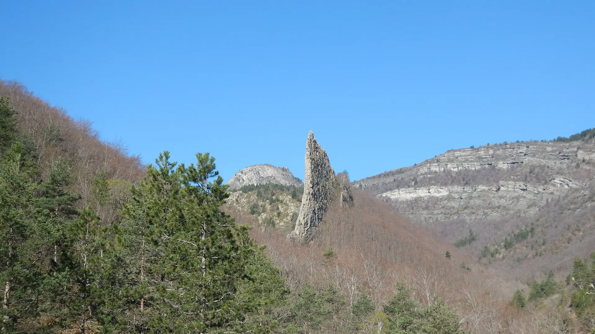
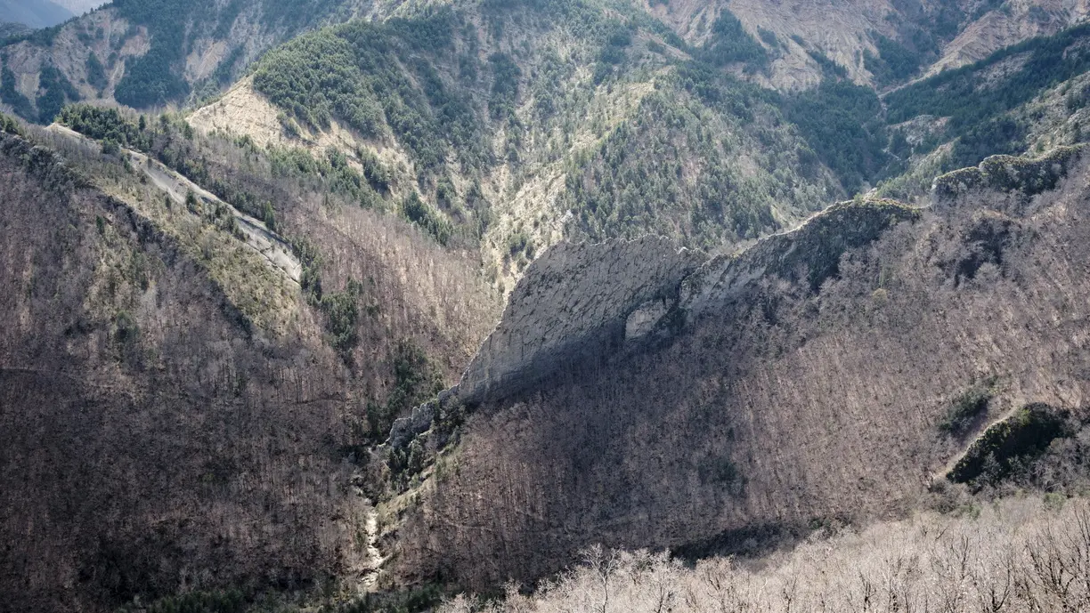
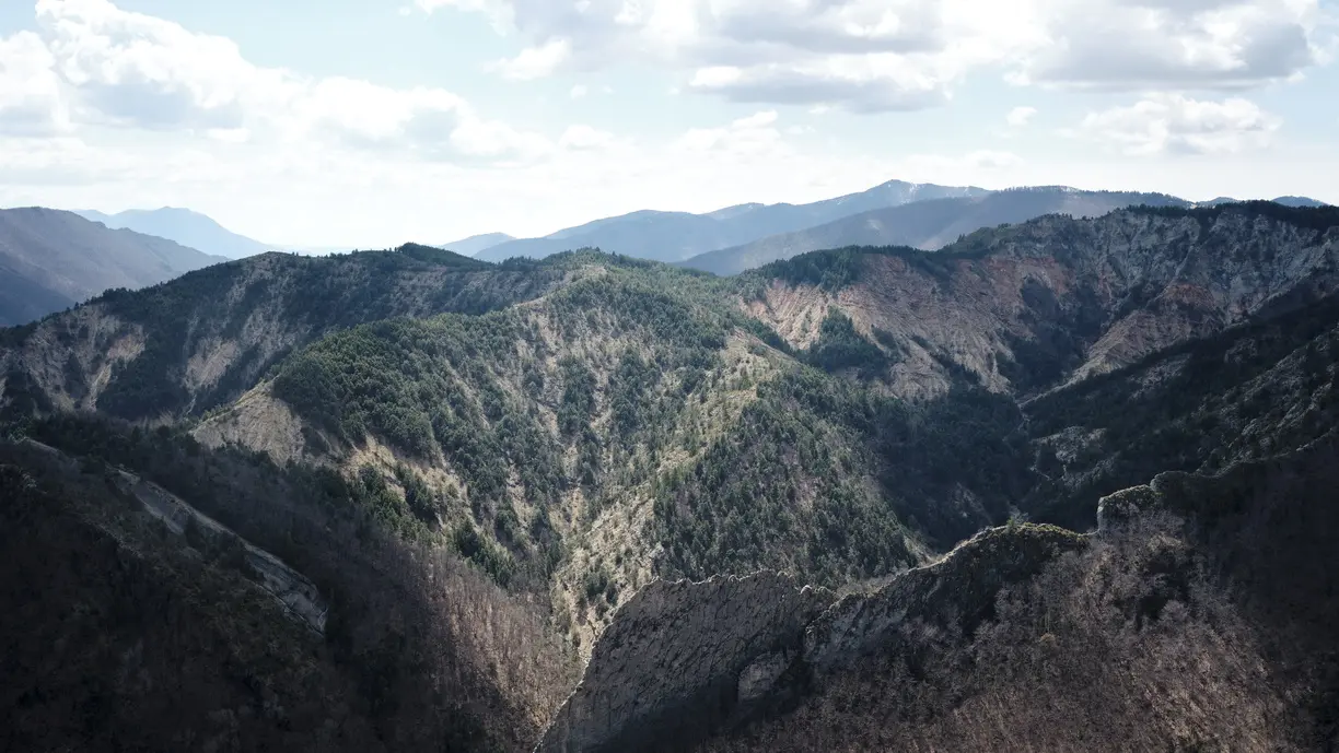
From the car park, the path crosses the Bès on a suspended footbridge then climbs through a magnificent beech forest to the Fubi pass, passing at the foot of the spectacular Facibelle blade. After the abandoned hamlet of Pudoyer, the route continues across the southern slope then east passing through the hamlet of Tanaron and the Rocher de la Tour where Pierre Gassendi made his observations of the moon in the XNUMXth century.
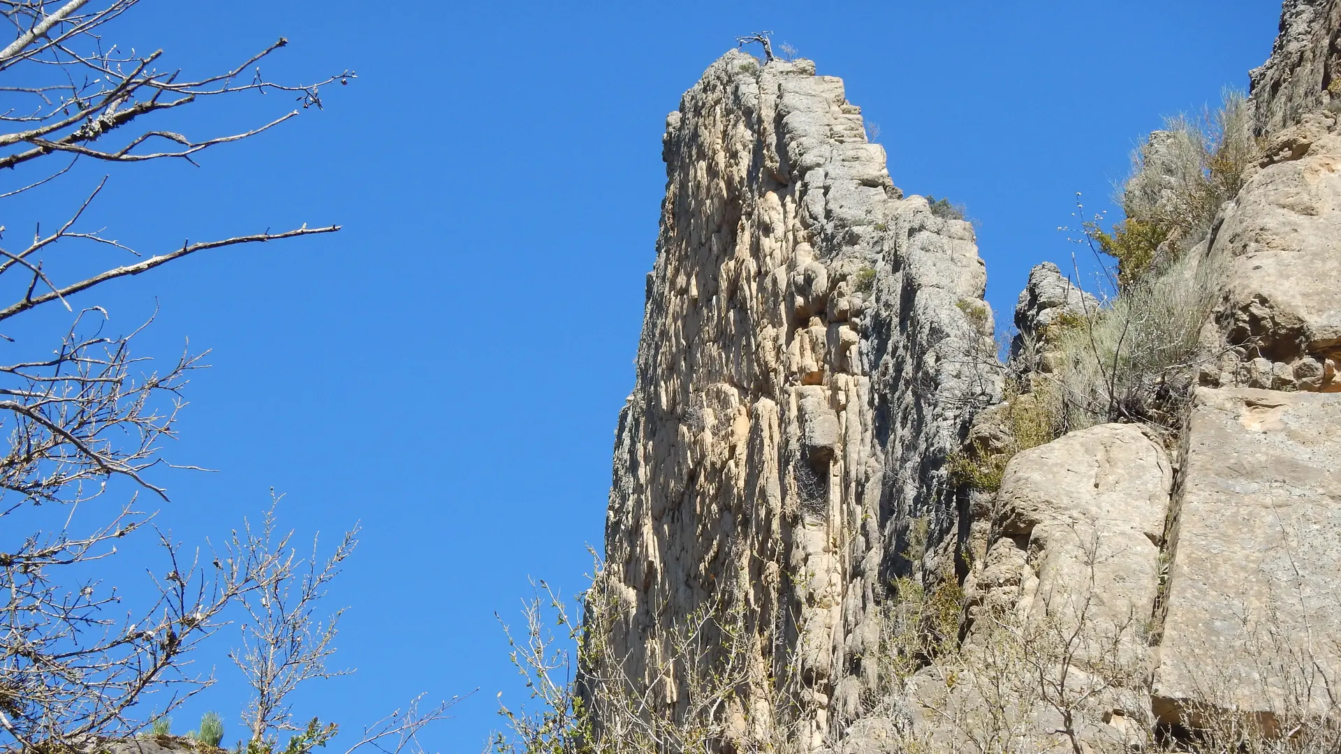
The Facibelle blade is a miracle of balance. This veil of rock, from the top of its 50 meters rises in the center of the famous Velodrome site. At the gateway to the Bès valley, this immense blade of sandstone molasse, erected vertically and isolated by erosion, defies time and gravity. The rocks that make up the Velodrome date back less than 20 million years and were partly deposited in a shallow sea bordered by reliefs, the last one that bathed our landscapes.
Read more