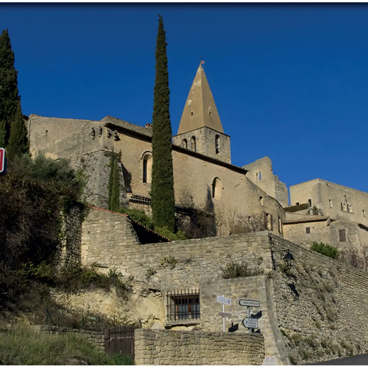
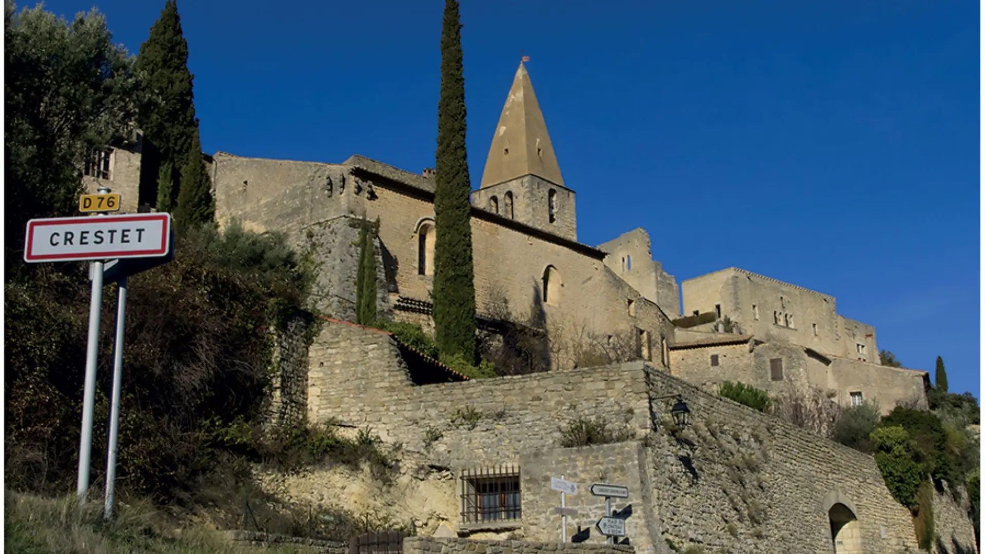
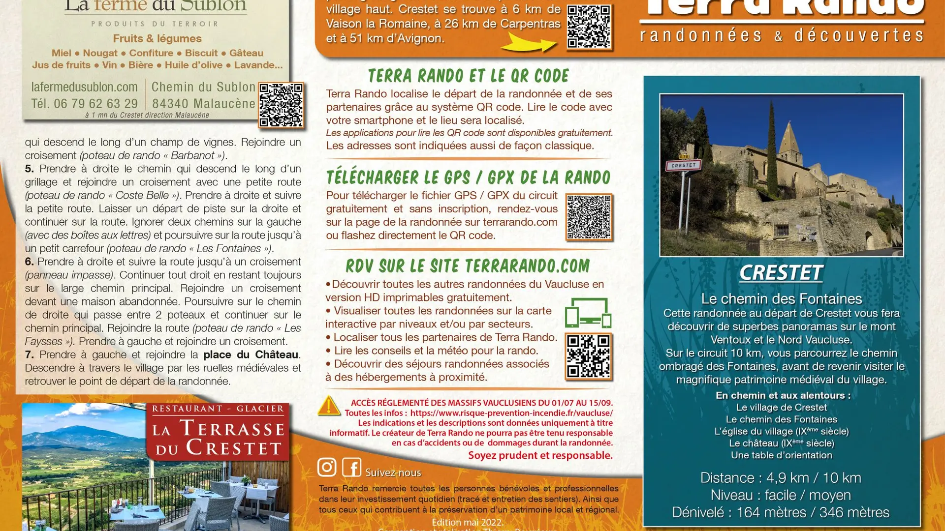
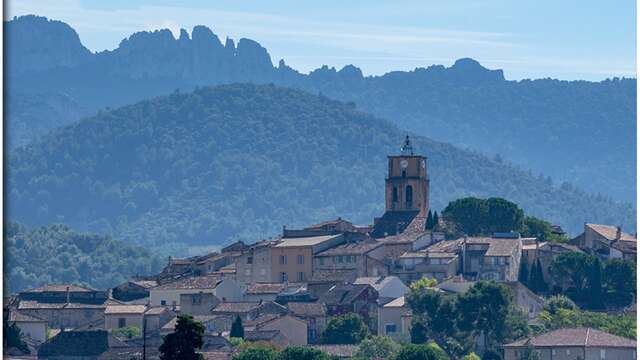
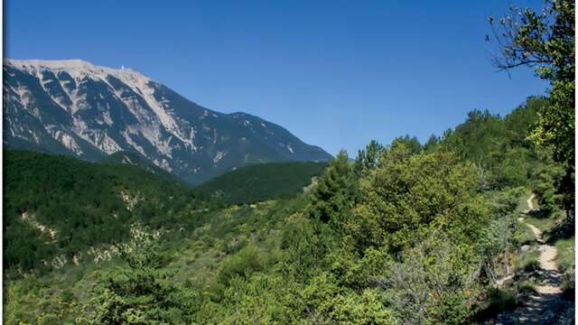
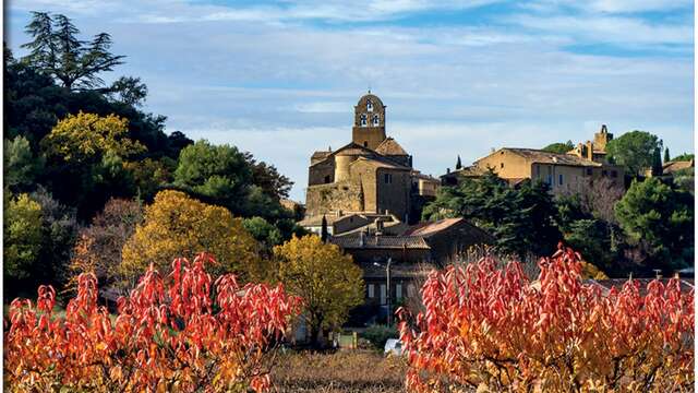
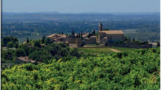
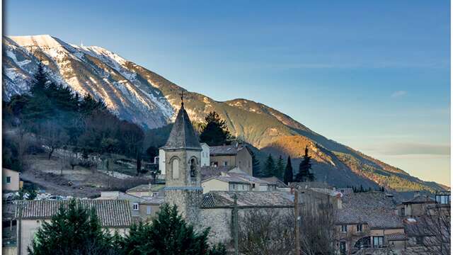
A magnificent village clinging to the Dentelles de Montmirail, Crestet offers superb panoramic views over the entire Toulourenc valley, which stretches across the northern slopes of Mont Ventoux.
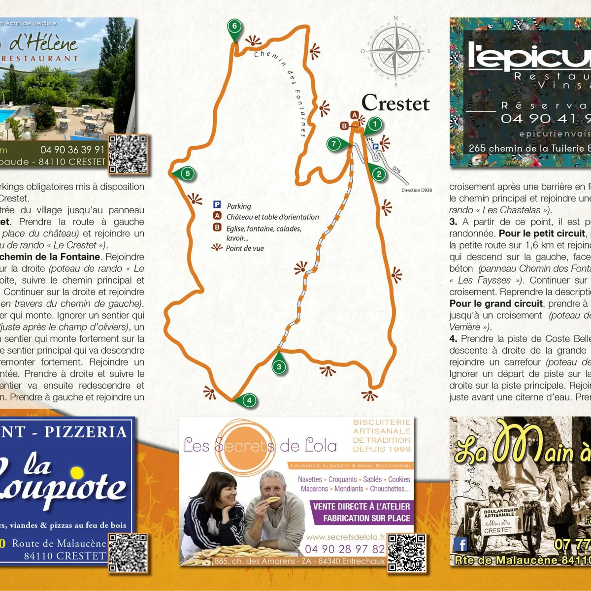
You'll discover a superb view of the Vallat des Eglantines and the Saint-Amand ridge, before returning to the village along a shady path to discover its castle and medieval streets.
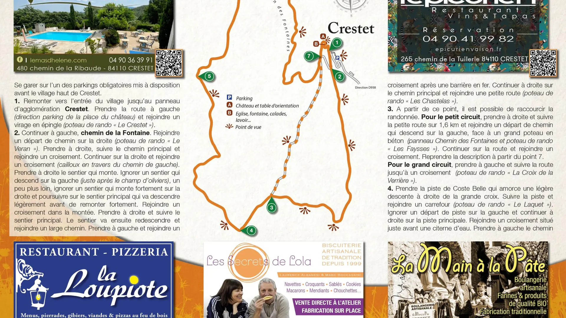
To see on the way and around the hike :
> The village of Crestet
> Village church (9th century)
> Castle (9th century)
> An orientation table
The hiking map is available free of charge from the Vaison Ventoux Provence Tourist Office.
Also on the terrarando.com website: advice on hiking in the Vaucluse and practical information from Terra Rando's partners. Happy hiking and discovering...