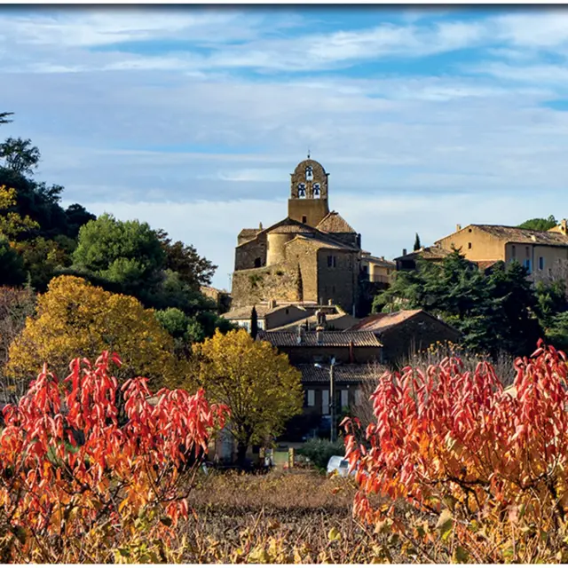
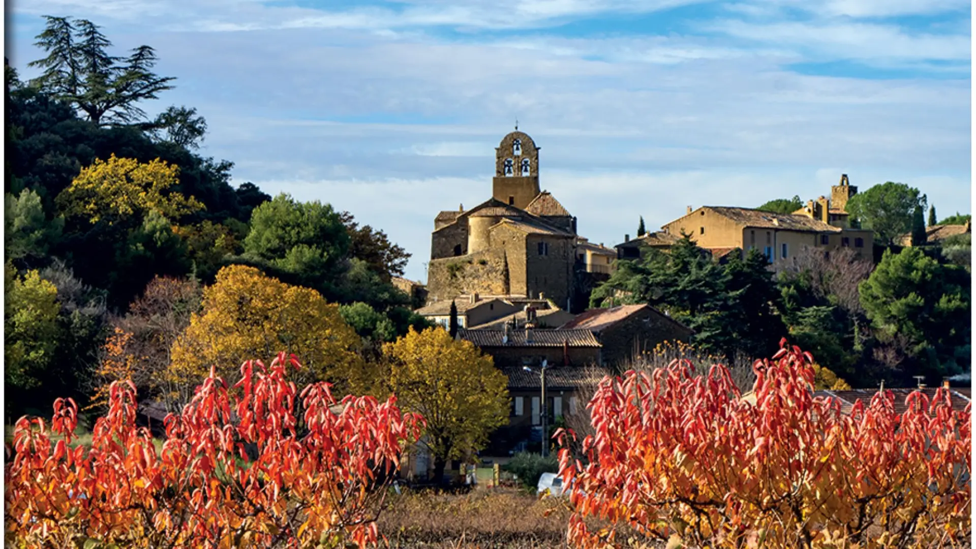
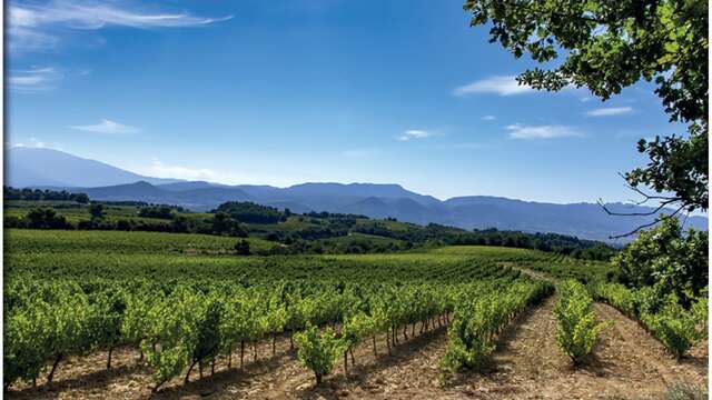
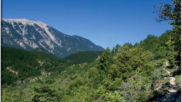
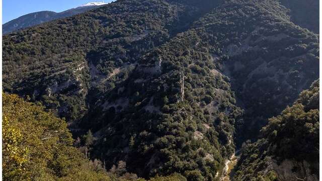
This hike takes you to the north of Vaucluse, on the borders of the Baronnies provençales regional nature park. Starting in the heart of the village, the trail takes you through the Puyméras communal forest.
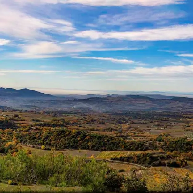
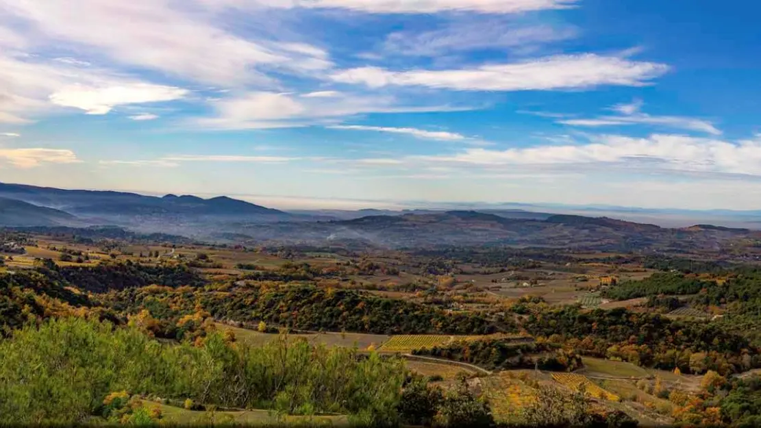
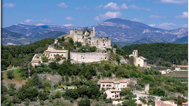
There are splendid panoramic views all along the way: the Dentelles de Montmirail, Mont Ventoux, northern Vaucluse and the Monts d'Ardèche.
To see on the way and around the Puyméras hike:
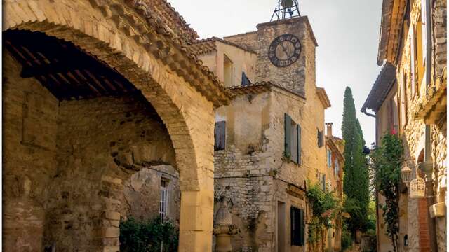
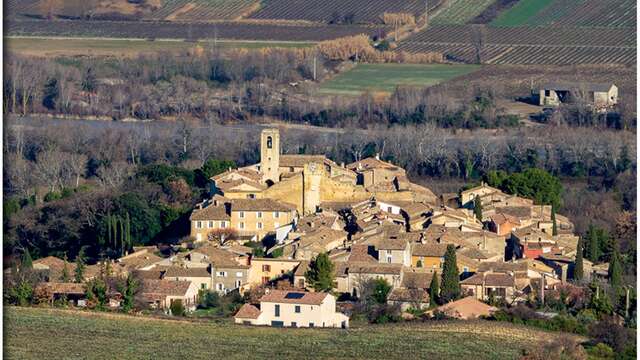
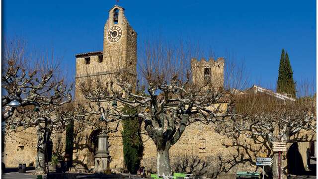
> The village of Puyméras
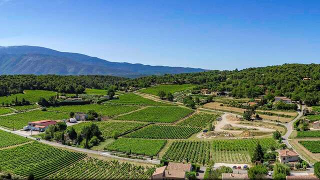
> Puyméras forest
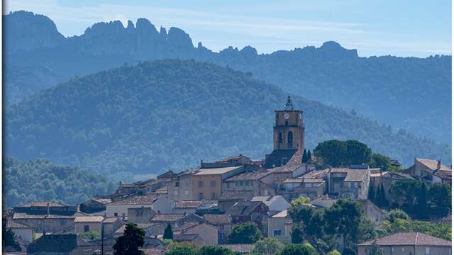
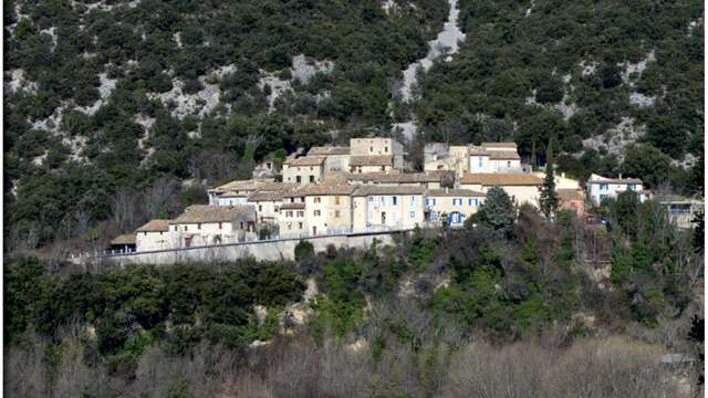
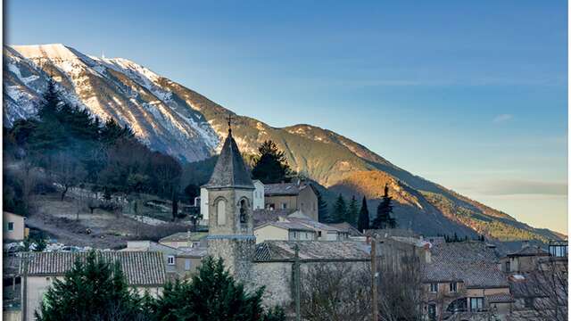
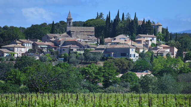
> The village of Faucon
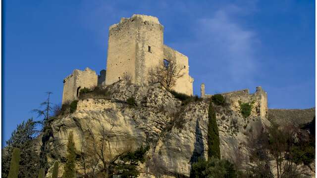
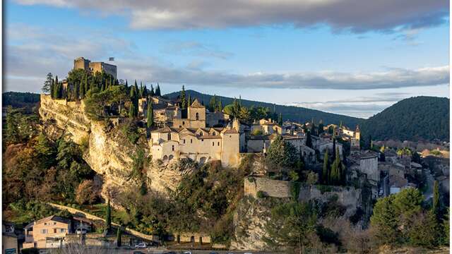
> Vaison-la-Romaine
The hiking map is available free of charge from the Vaison Ventoux Provence Tourist Office.
Also on the terrarando.com website: tips for hiking in the Vaucluse and all the practical information from Terra Rando's partners. Happy hiking and discovering...