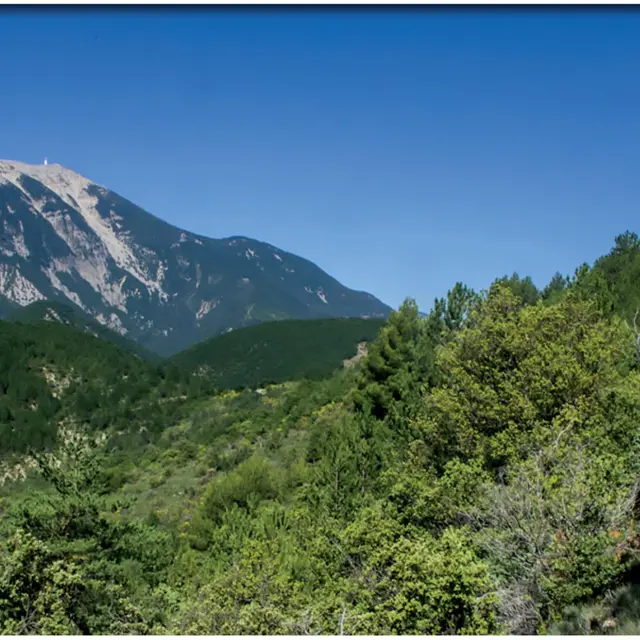
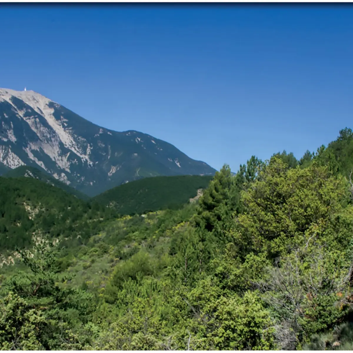
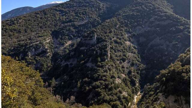
The St-Léger-du-Ventoux 'Tour du Toulourenc' hike by Terra RandoLeaving from Saint-Léger du Ventoux, this tour takes you to the northern slopes of Mont Ventoux for splendid panoramic views over the valley, before returning along a superb...
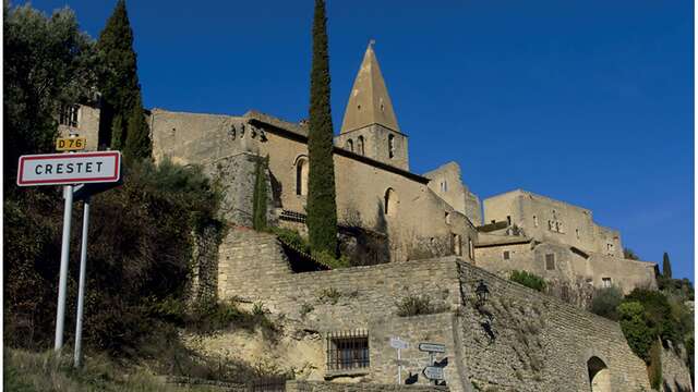
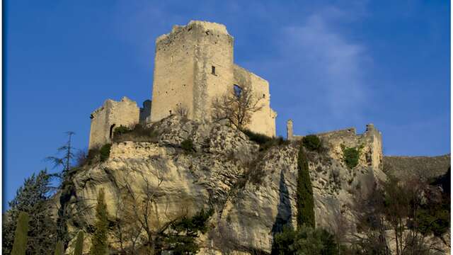
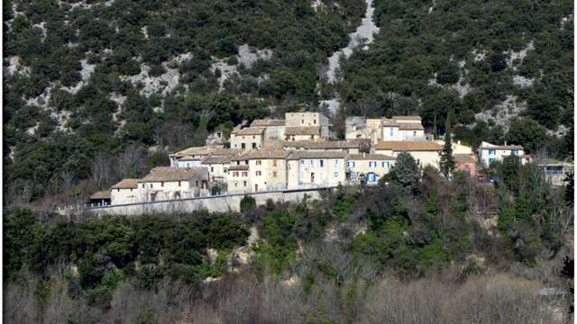
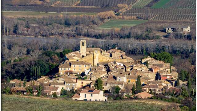
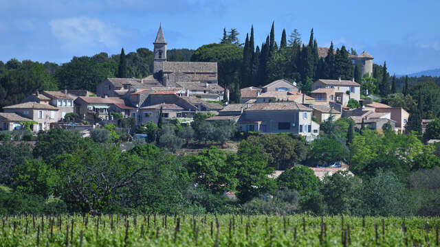
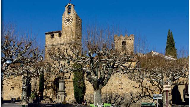
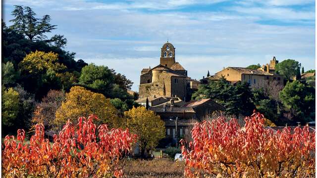
Saint-Léger-du-Ventoux