From the bathing lake, take the Route de la Bonette for 600m, then turn right.
For 6km the route alternates between short sections on the route de la Bonette and others on tracks, so be careful at junctions.
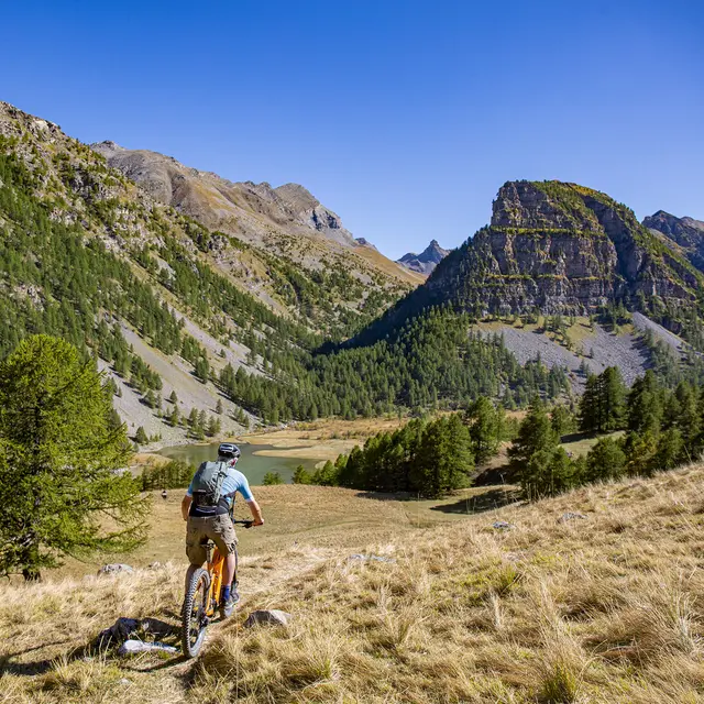
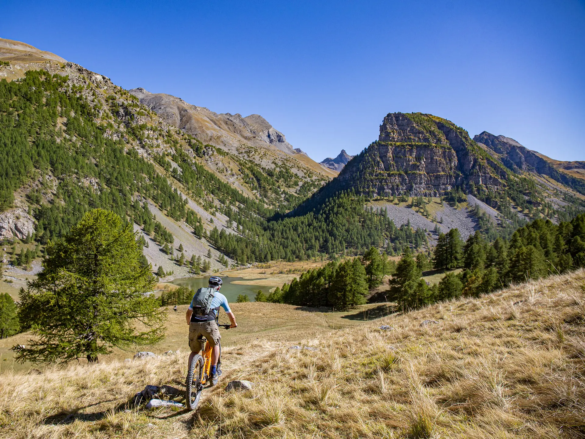
After Chalannette, the route leaves the main road for a wide forest track on the left. This alternates between uphill and downhill until you reach the lookout point overlooking Lac des Sagnes. Here, take a path through the meadows to reach the shore.
The return journey continues along a network of forest tracks, both flat and downhill, with a number of junctions not to be missed!
Read more