This long loop links Lac de Cristol to Grand Lac de l'Oule via Porte de Cristol and Col de L'Oule. A beautiful hike with a steep gradient and a wide variety of views and landscapes, it will satisfy even the most seasoned hiker.
This hike starts from the Pont de Fortville, near the Bistrot de Pays Au Bon Coin, in the hamlet of Cros.
Cross the Pont de Fortville to reach "Les planchettes": the path crosses a pretty clearing lined with wooden cabins, used for the traditional "Festival Névache en fête" and the brand-new "Terre Sauvage Festival".
At the end of this plain, the path begins to climb through meadows towards the forest. The slope then begins to steepen between the trees, ignoring the various forest tracks on either side, and staying on the main GR5C-GR57 route. A few twists and turns follow before a slight flat spot that crosses the slope. A few more steep switchbacks and the path comes to a crossroads: the left-hand path (GR57) leads to Lac de l'Oule, while the right-hand path (GR5C) leads to Lac de Cristol.
Take the right-hand path: it climbs steeply for a few tight hairpin bends, then eases off and straightens out briefly through a sparse forest below the Grande Cime, and soon reaches the Cristol stream with its small wooden footbridge leading to the Refuge de Buffère via Côte Rouge.
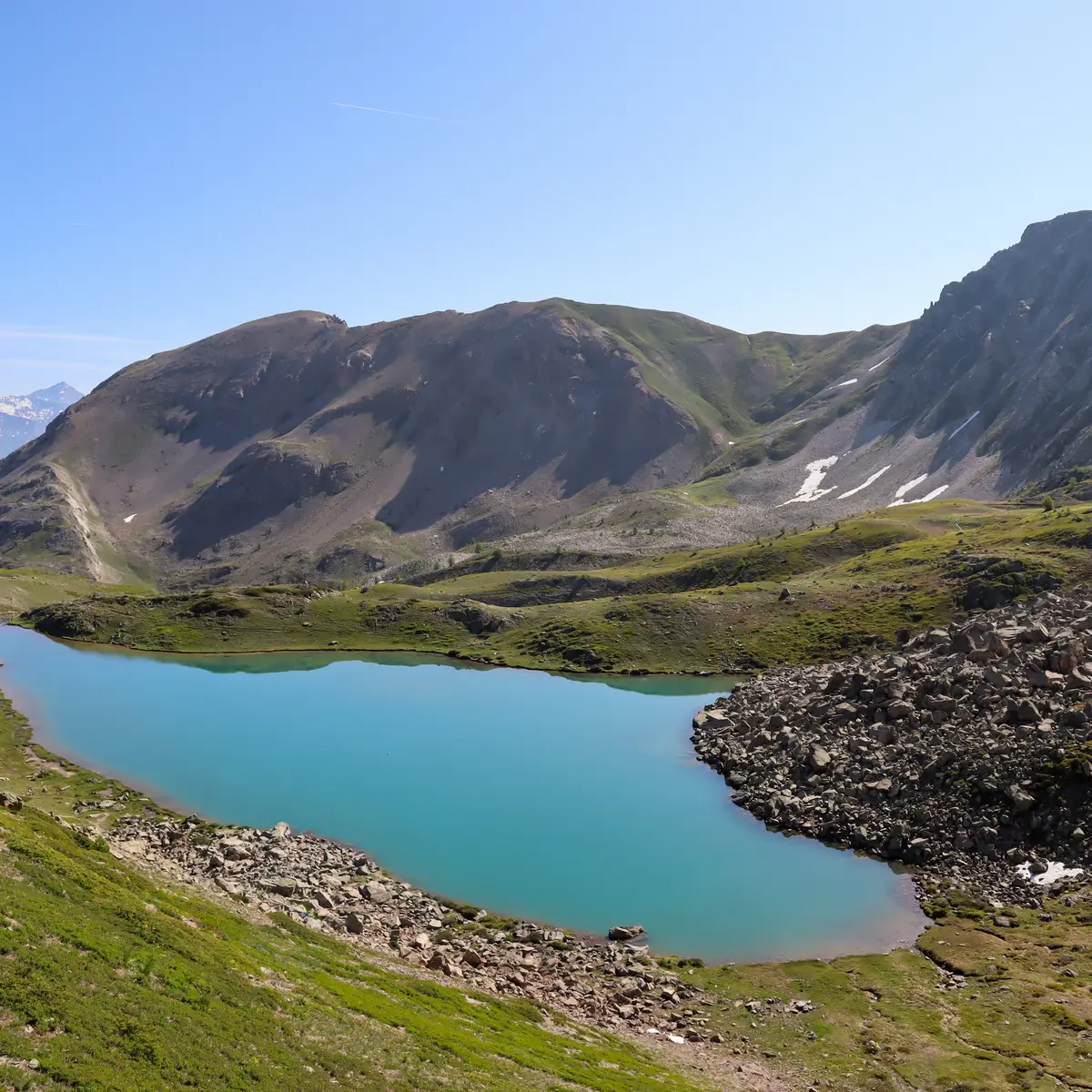
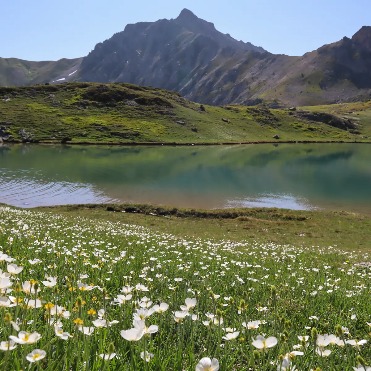
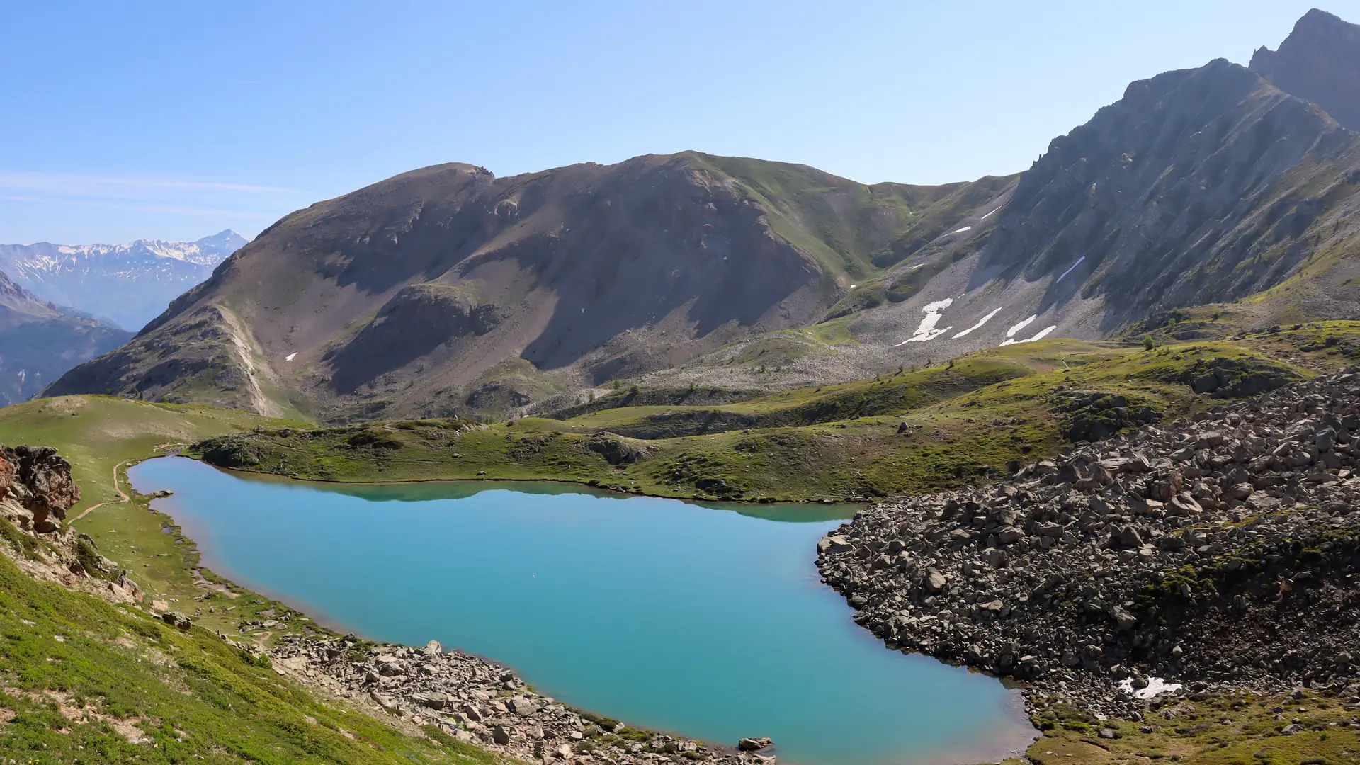
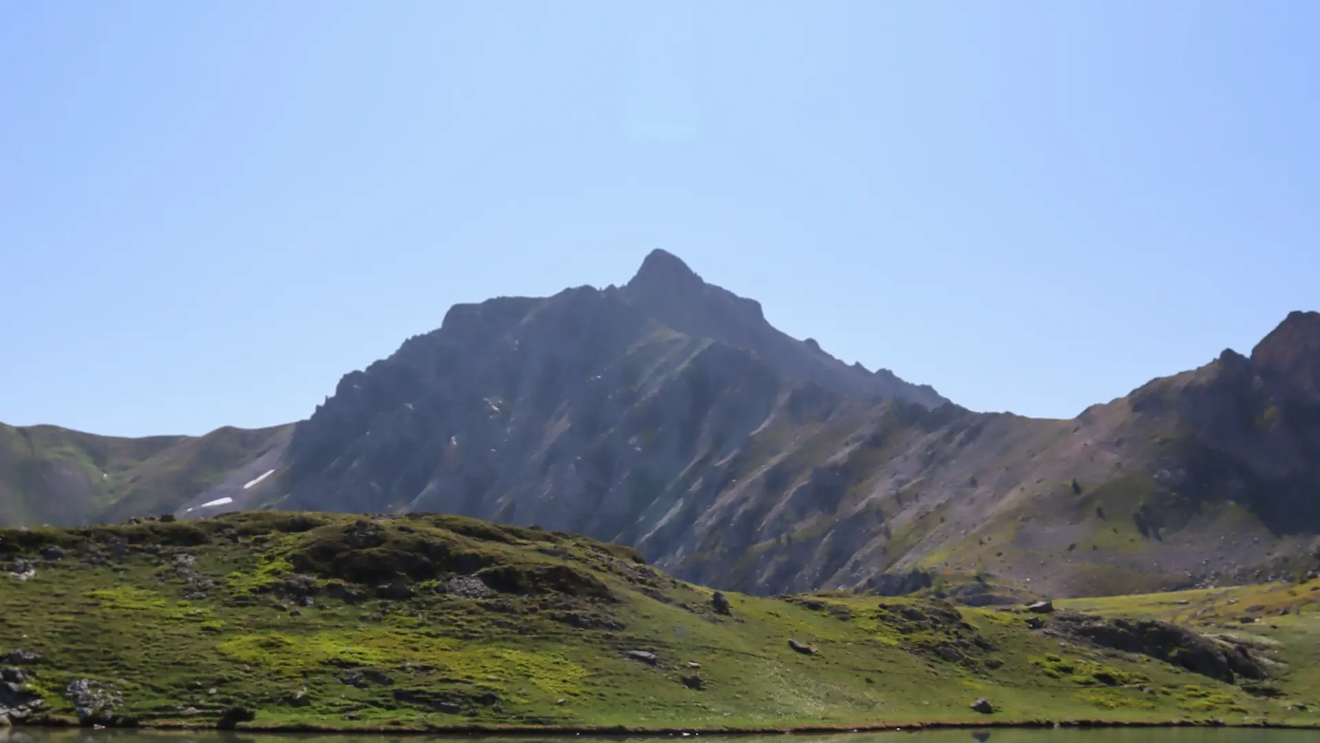
Ignore the footbridge and continue upwards: the path then crosses a magnificent, sparsely wooded wetland, before joining the alpine meadows where the larches are nowhere to be seen, until it reaches Lac de Cristol.
At the lake, continue to climb along the path that rises above it on the left, then overhangs the small Lac Rond and quickly reaches the Porte de Cristol.
Although the Crêtes de la Gardioles itinerary is possible to reach the Col de L'Oule, we recommend the loop around these crests, following the GR5C for just over a kilometer:
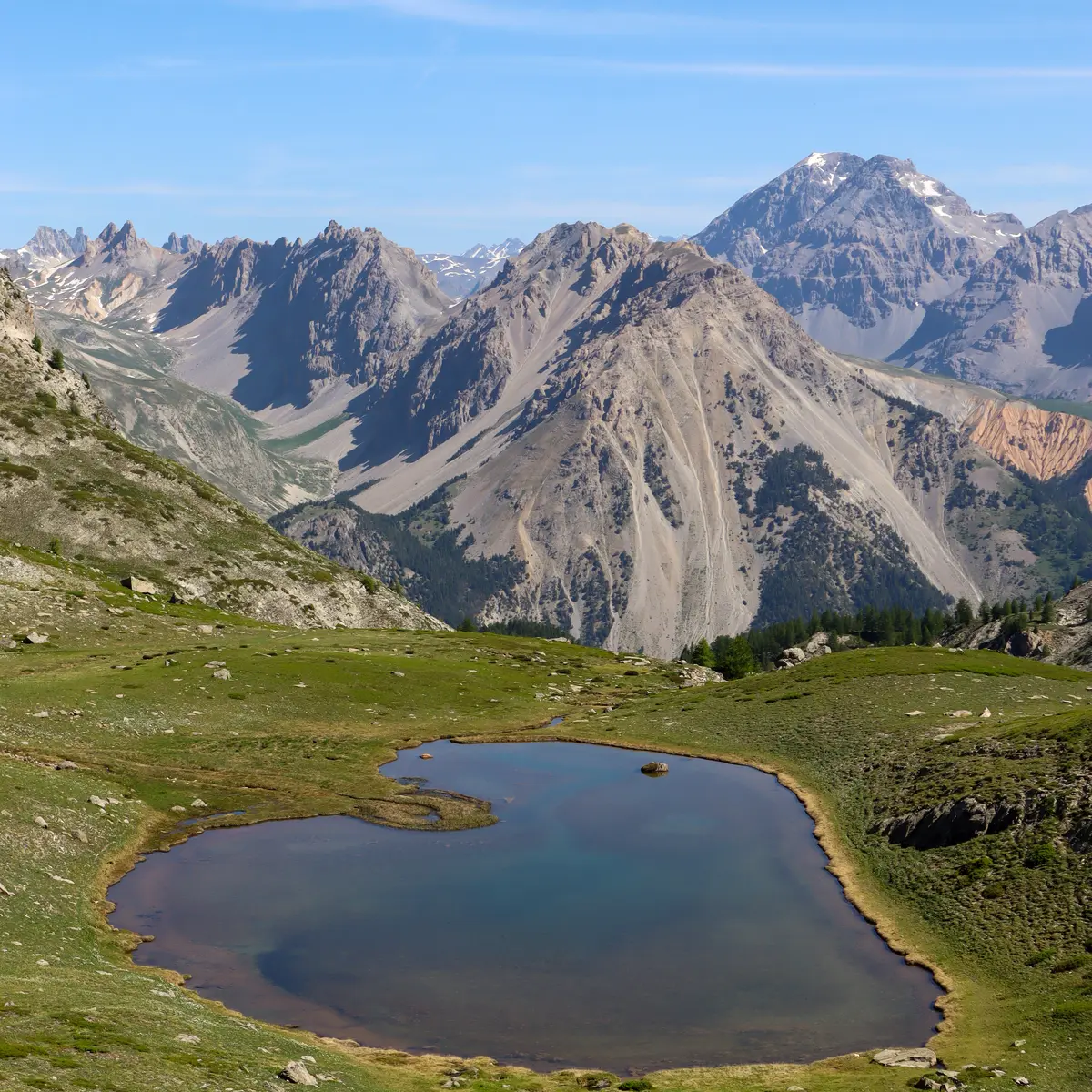
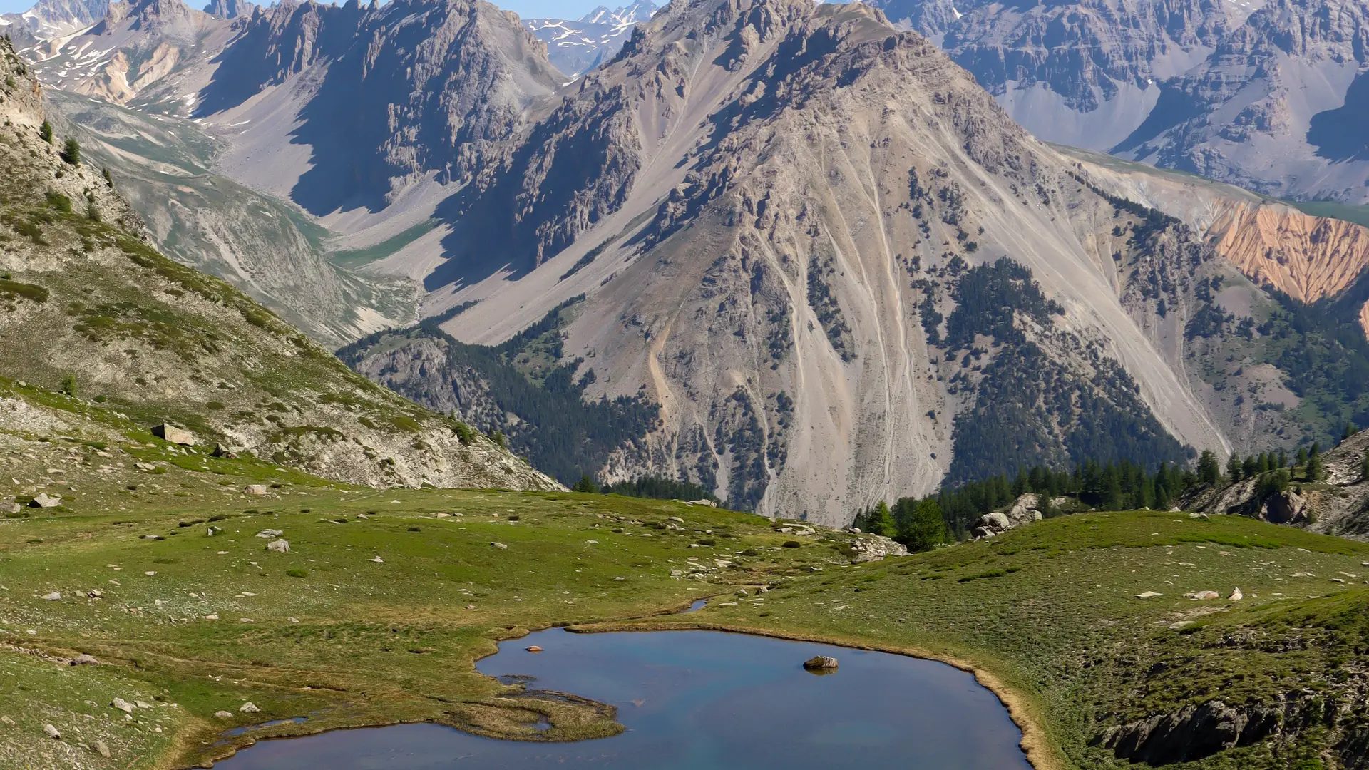
Cross the Porte de Cristol and turn left onto the wide track below (ignore the small path in the scree below the Grand Aréa). This part of the GR5 is flat and offers magnificent views over the Guisanne valley, Briançon and the Ecrins Massif.
Continue for just over a kilometer until you come to a crossroads: leave the track for the one that rises to the left towards Col des Cibières and Col de L'Oule.
The track makes a sharp turn and soon reaches the Col des Cibières, which leads to a 3-way junction: straight on, the Col de l'Oule; on the left, a small path that leads to the summit of La Gardiole; and on the right, a well-marked path that leads to the Col du Granon.
Continue straight ahead on the wide path towards the Col de L'Oule. Ignore the next fork in the path (which also leads to La Gardiole) and continue on to the Col.
Once at the Col, start the descent to reach the Grand Lac de l'Oule: the loop goes around the Pic du Longet until you reach the starting point below La Grande Cime, then the descent is steep through the forest to reach the Lieu dit des Planchettes and the Pont de Fortville.
This hike is not particularly difficult, but it does involve a steep, sustained ascent.
In summer, the Grand Lac de l'Oule is very popular with hikers arriving from the Col du Granon parking lot.