On the edge of the Haute Vallée, at the crossroads of the Hautes-Alpes and Savoie regions, this hike takes in 3 magnificent lakes, as well as the sources of the Clarée, in a grandiose setting via the Refuge des Drayères.
From the Laval parking lot, take the wide, stony track leading down to the Clarée valley floor (GR de Pays Tour du Mont Thabor), which overlooks the Clarée river on its left bank.
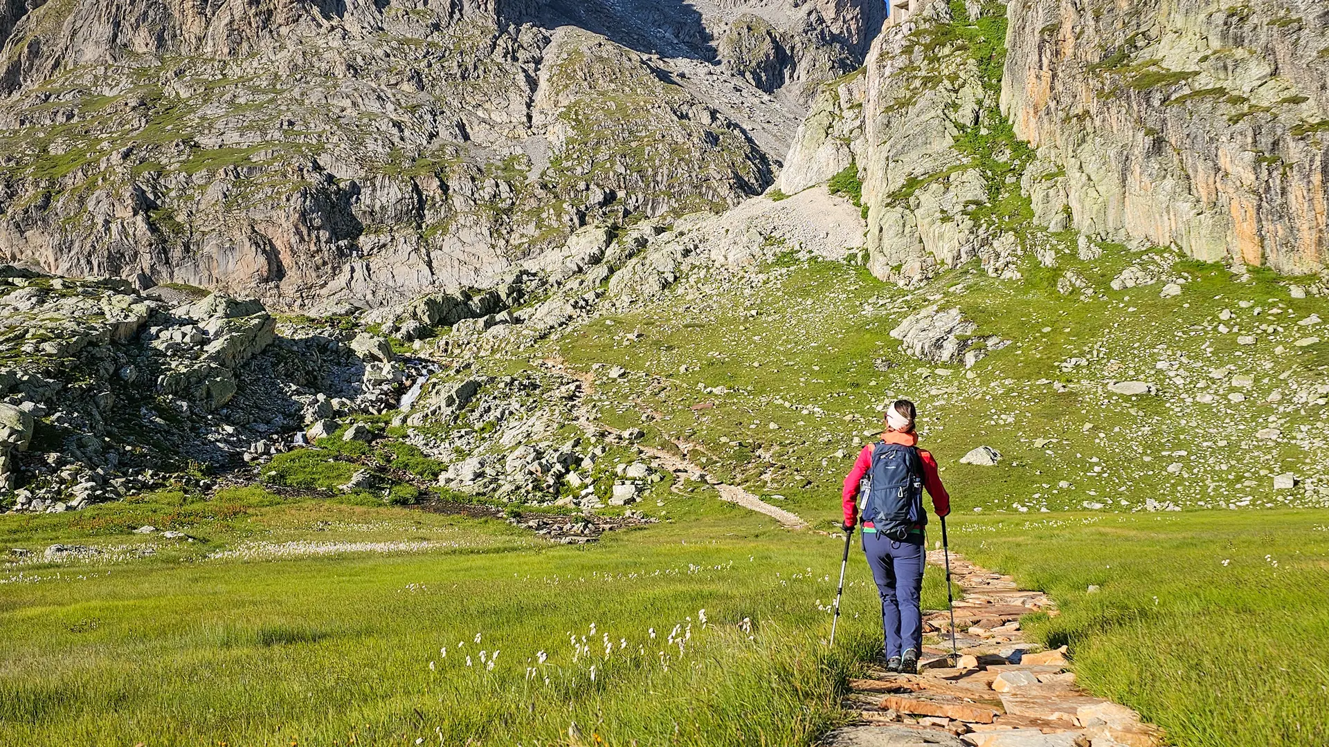
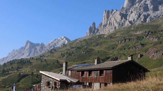
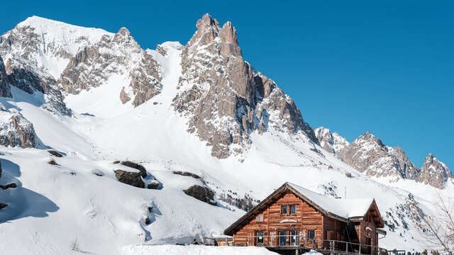
Continue on this gentle trail (approx. 160 m ascent) for 2.8 km towards the Refuge des Drayères. At the Pont de Pierre, ignore the right-hand path and take the left-hand path to the heights of the Refuge des Drayères.
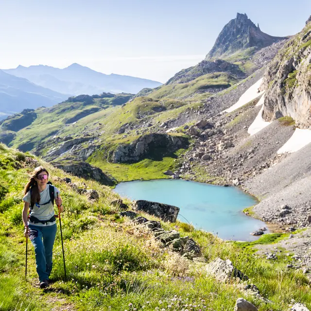
After the refuge des Drayères, the track becomes a small hiking trail, rising on the left bank of the torrent, then changes into an elegant pavement of flat stones that crosses a remarkable wetland to the Lac de la Clarée. This magnificent pavement is in fact an ancient Roman road linking the Clarée valley to the Maurienne.
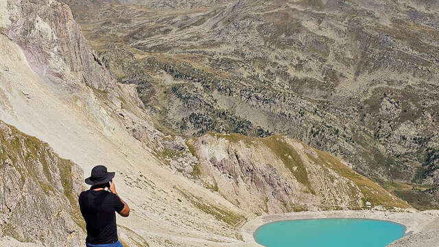
This small lake, perched at 2433 m, is the source of the river of the same name, and sits enthroned between the Aiguille Noire and the Pointe des Blanchets, overlooked on the right by the Seuil des Rochilles infantry fortress.
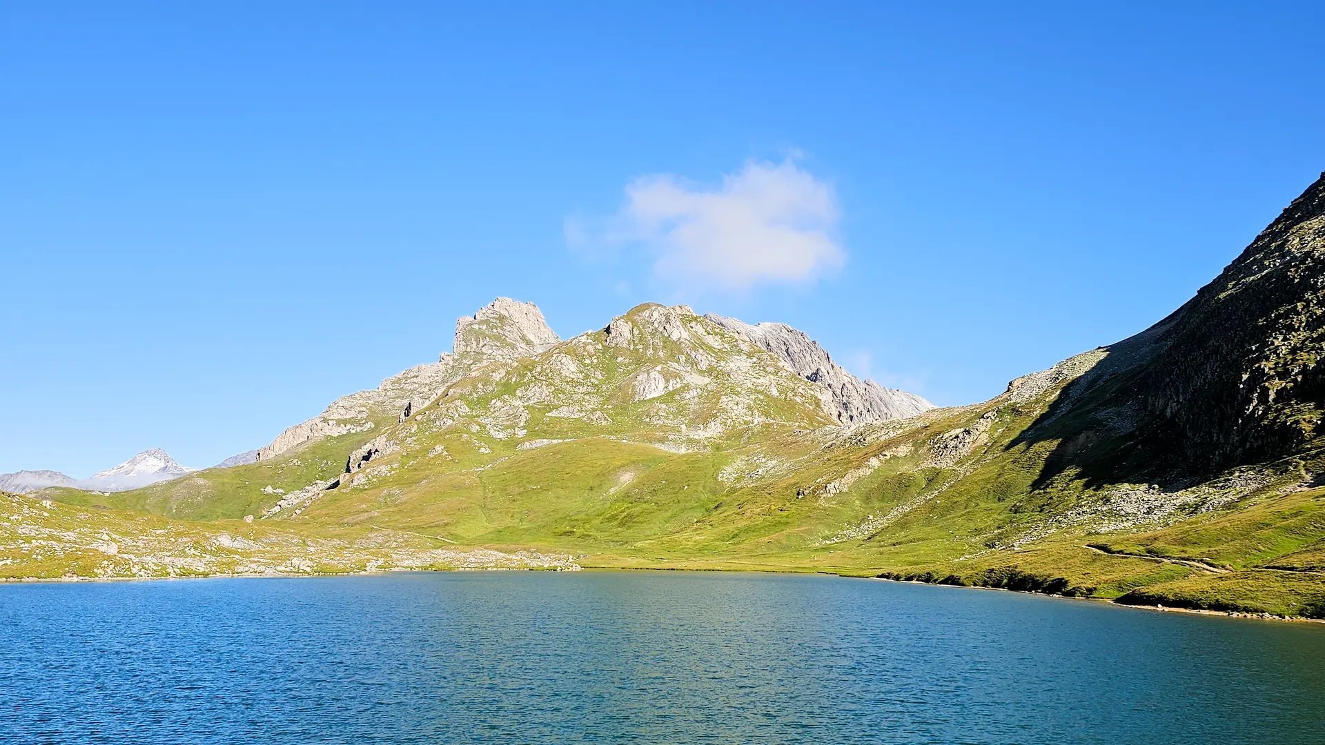
A very short climb and a distance of some 300 metres brings you to the imposing Lac des Rochilles. The old Sardinian boundary marker (1823) lining the path delimited the Kingdom of France and the Duchy of Savoy, with the Fleur de Lys engraved on the French side and the Savoy Cross on the Sardinian side.
Continue along the path, skirting Lac Rond on the right to reach the end of Lac du Grand Ban, again on the right.
Here, from the Col des Rochilles, you can see the Camp and Refuge des Rochilles below, and the military trail leading to the Plan Lachat parking lot, the Galibier road and the commune of Valloire.
The return journey takes the same route.
A possible variation is to return along the right bank of the Clarée:
After the Refuge des Drayères and the Pont de Pierre, follow the trail for a short distance, then leave it on the right to cross the footbridge over the Clarée. This small, undulating path follows the river between streams and larches to the Pont du Moutet and the Laval parking lot.
Pets welcome In the Clarée, dogs must be kept on a leash on all trails, for reasons of wildlife protection, but also to ensure cohabitation with herd protection dogs.