From the Laval parking lot, take the wide path leading down to the Clarée valley floor and follow it for around 200 metres, before turning right to follow the GRP Tour du Mont Thabor :
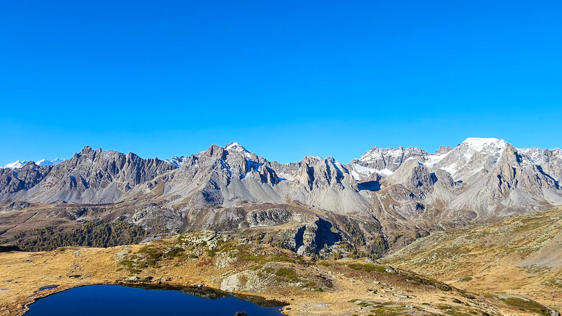
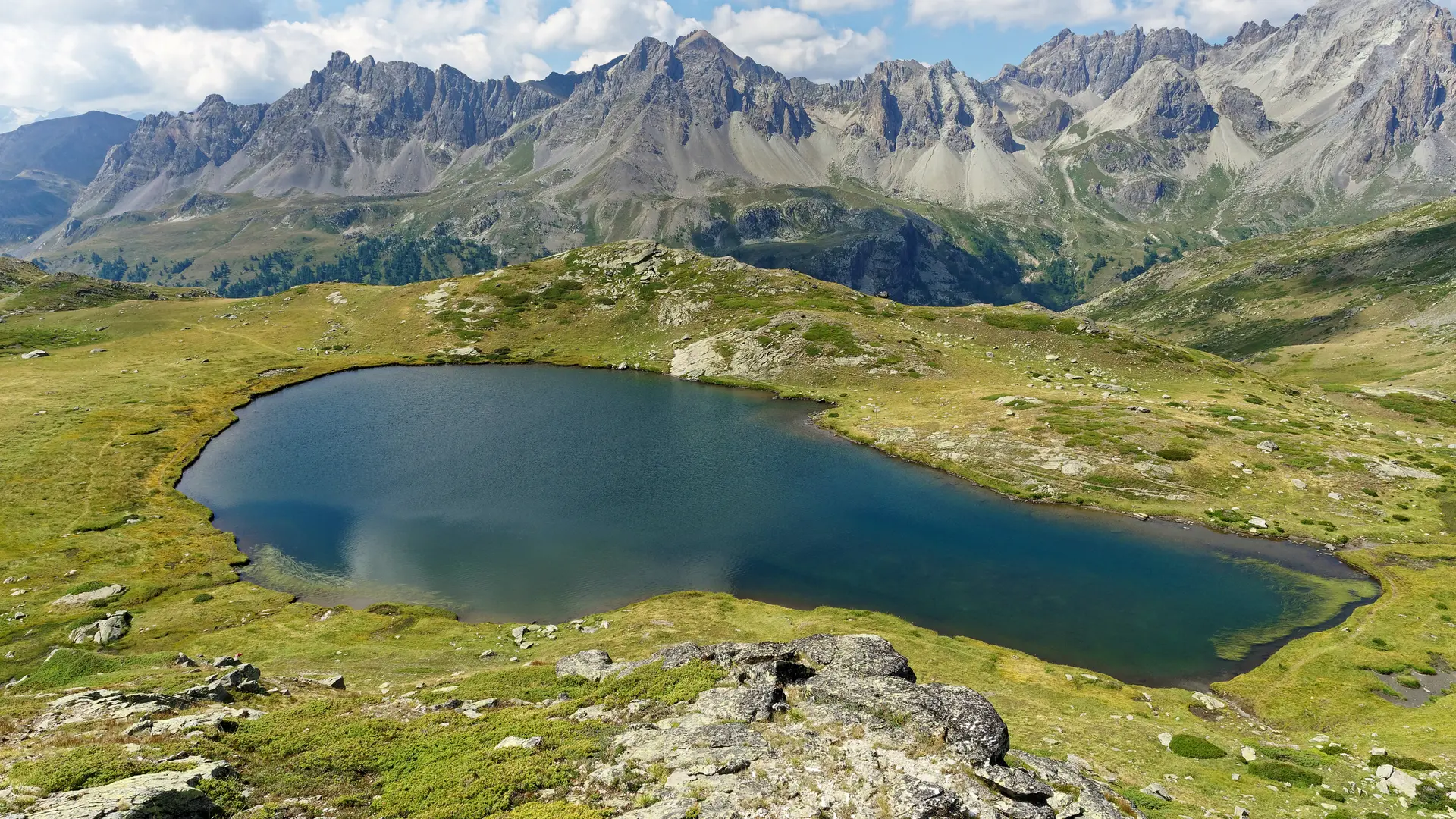
The little path climbs gently up the south-facing slope over long switchbacks, following the Ruisseau de Saint-Jacques. After a final bend to the right, the path becomes a balcony for the second part of the route. On the right, the Massif des Cerces, whose highest points (Pointe des Cerces and Tête de la Cassille) rise to over 3,000 m in altitude.
You then cross the small torrent of La Cula: to reach the lake, you'll need to stay on the path for another 15 minutes or so. You'll need to be careful not to miss the intersection with the lake on the left, just after a few hairpin bends.
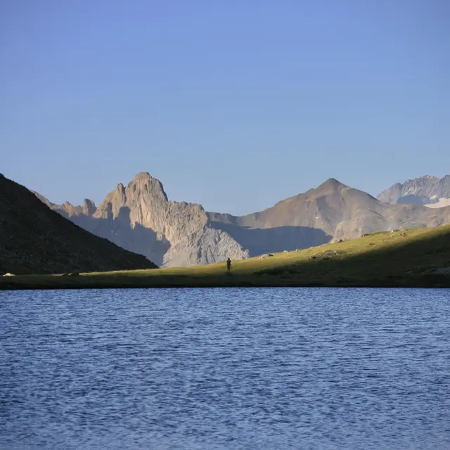
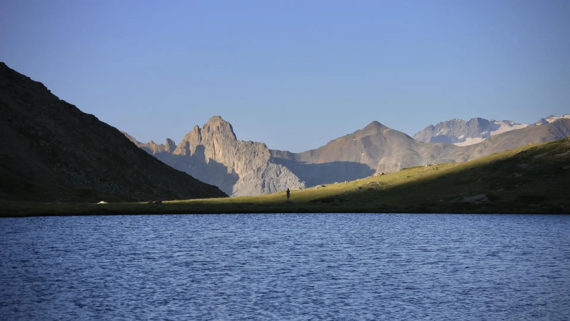
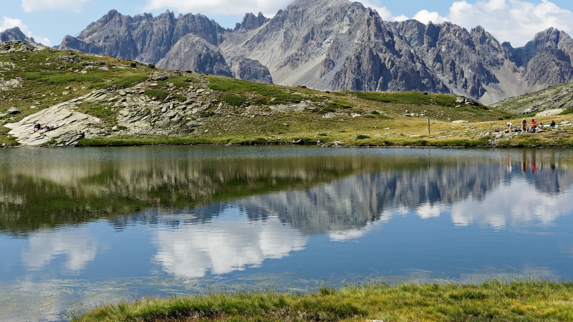
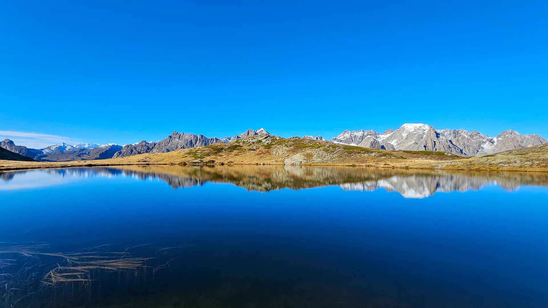
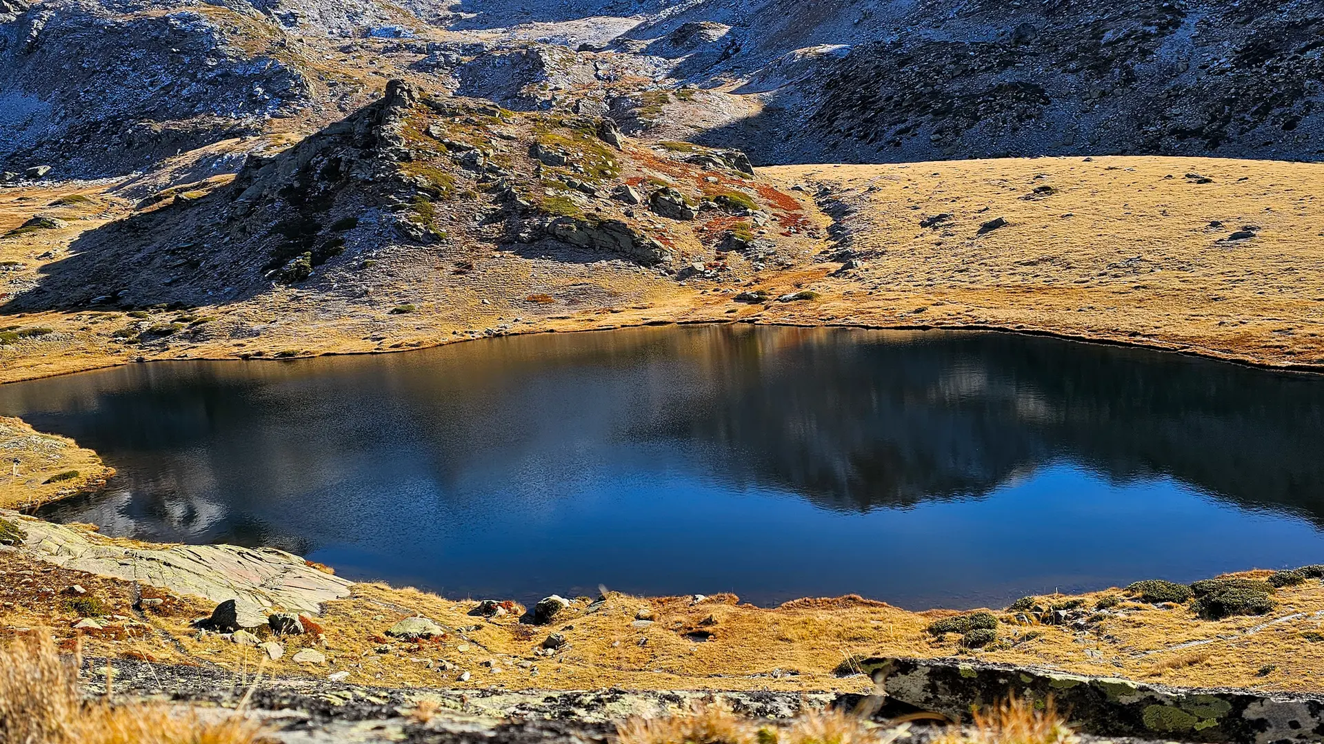
The final climb to the lake then begins. We skirt around a hill behind which lies the lake, which can be reached in around 20 minutes. Nestled in a small hollow, sheltered from the wind, Lac de la Cula is a quiet, little-frequented spot.
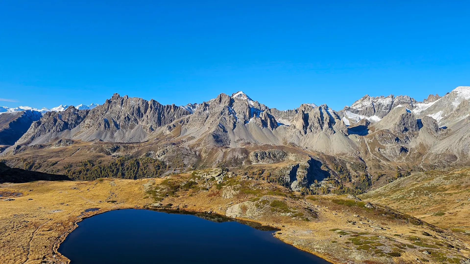
The Rocher de la Grande Tempête at 3002 m altitude is on the left, and the Pic du Lac Blanc at 2980 m, on the right.
The return journey takes the same route.
Read more