Walk down the Chemin de Quinson and, just after the ford, continue straight ahead. You will pass below the old fortified farm of l'Hert (private property). Follow the signs for "Sainte-Croix du Verdon - Les Plaines". You'll start by climbing a fine ascent, although it's short, the gradient is significant on this section.
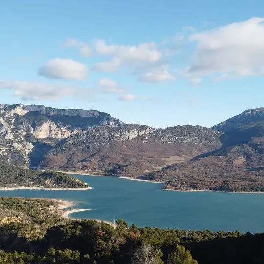
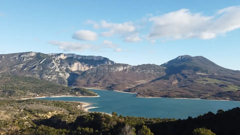
You'll come back down following the track that goes straight off to the left. As you pass near Campagne Féraud, the first viewpoint will give you a privileged perspective of the lake of Sainte-Croix.
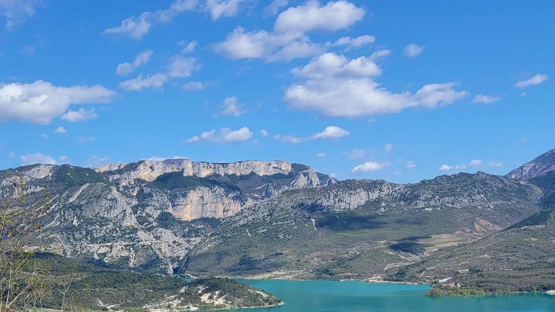
Near Chaudon, you'll discover an unobstructed panorama with a view of the Galetas bridge, the end of the Gorges du Verdon, and the village of Aiguines at the summit of Grand Margès. From here, turn left again towards Marzols.
The descent will be steeper, with around ten switchbacks. At the end of the loop, follow the signs for Moustiers-Sainte-Marie. You'll pass the "petit lac" and its campsite, before returning to the Quinson path where you started.
13km · 350m D+ · 4h30
Read more