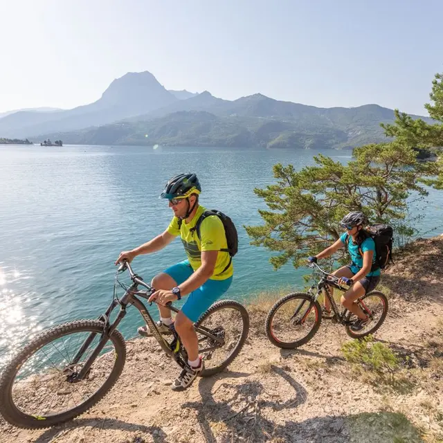
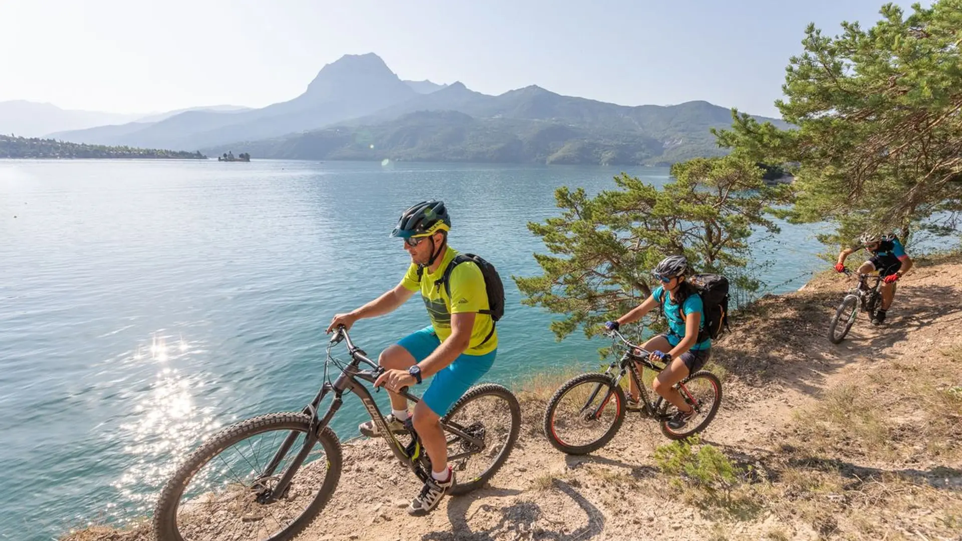
From Embrun, the route rises rapidly into the dense forests of Boscodon. A halt at the Abbey is an opportunity to recharge your batteries mid-way up. A pretty descent down to Savines-le-Lac sets the tone for what is to come: this tour will be fun, technical at times and panoramic.
From Savines, a straightforward ascent leads to the belvedere of Pierre Arnoux. A succession of balcony paths lead down to the perched village of Pontis. You gradually leave the coolness of the beech forest behind to enter a more open landscape of terraces, old hamlets and a dolmen, yet with the magnificence of the lake always within eyesight. The final stretch of this second stage takes an unused railway line along the Ubaye: don't forget to take lamps for the tunnels!
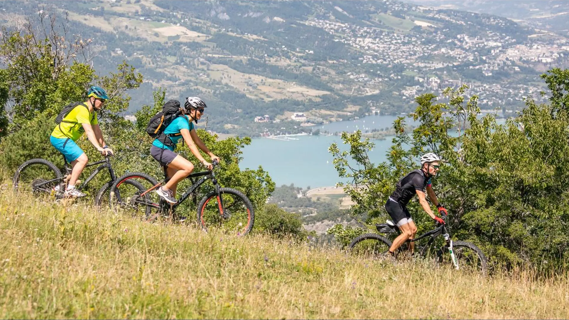
The third stage is the least challenging but just as pretty, running through the plateaus and hills of Ubaye Serre-Ponçon and La Bréole. The trails leading to L'Escoubaye and its belvedere and the descent to the foot of the dam will take your breath away...
From this imposing dam, a long ascent takes you to an important World War Two Resistance monument, the Croix des Prés, before reaching "Le Ruban". The view from here is undoubtedly the finest on the route. It follows numerous technical descents down to the shores of the lake. Proceed with caution!
The final stretch from Chorges runs past a succession of bays and inlets, an ever-present temptation to take a swim, before heading uphill to Puy-Sanière. Brace yourself for the Descente des Tourniquets. This helter-skelter section is a must-ride for mountain bikers in the Embrunais area.
Hard
Read more