From the carpark, take the forest track which heads to the refuge at La Cougourde. At marker 421, continue along the path towards La Cougourde, passing close to the chalet Vidron (marker 422).
Cross the Peïrastrèche Bridge. At marker 425, turn left until you reach the refuge at La Cougourde. From there, turn right onto the path which leads to Lac de Trécolpas (marker 426).
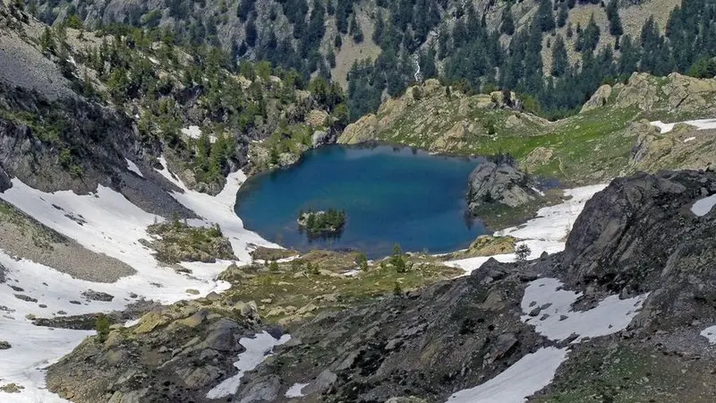
Cross a final rock bar (marker 427) before arriving at Lac de Trécolpas. Head back down GR52 to get back to the upper carpark at Boréon.
Difficulté = Medium
Read more