Park in the parking lot just beyond the Aittes wall on the left-hand side of the road.
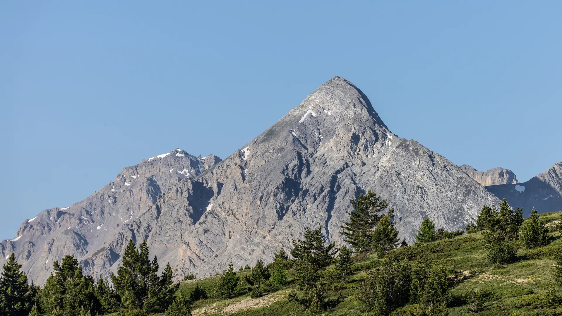
This hike is dotted with information panels explaining the exceptional geological interest of the Chenaillet massif: a volcanic, alpine oceanic crust that exposes three main rocks: serpentinites, gabbros and pillow basalts.
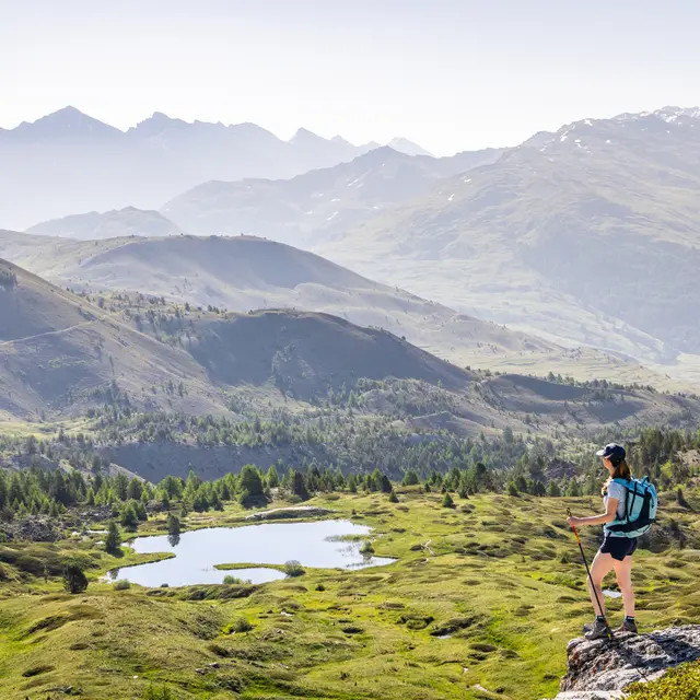
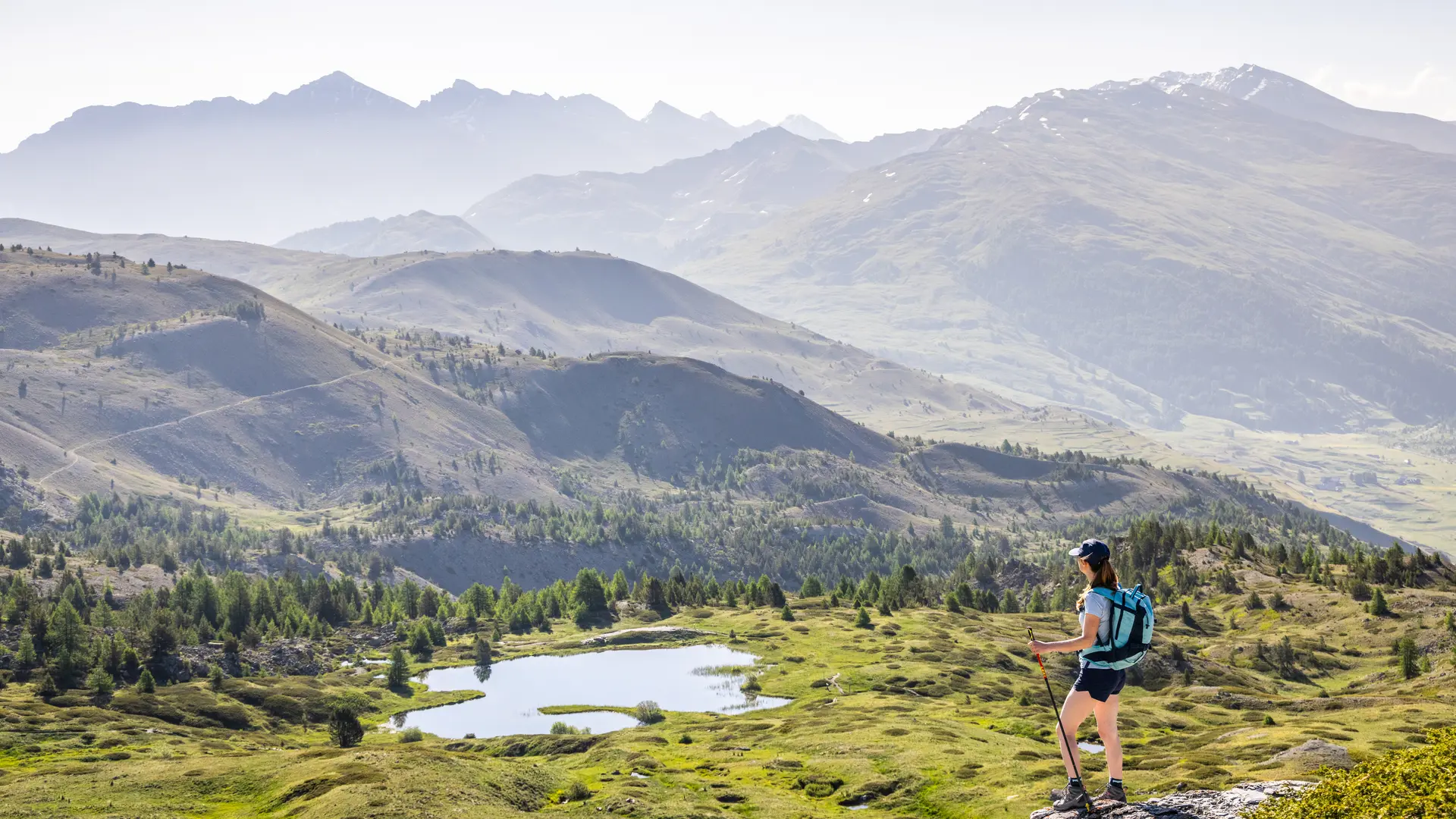
The route begins at the bottom of the parking lot, marked by the first sign. Follow the signs for the Massif du Chanaillet / and Lac des Sarailles geological trail.
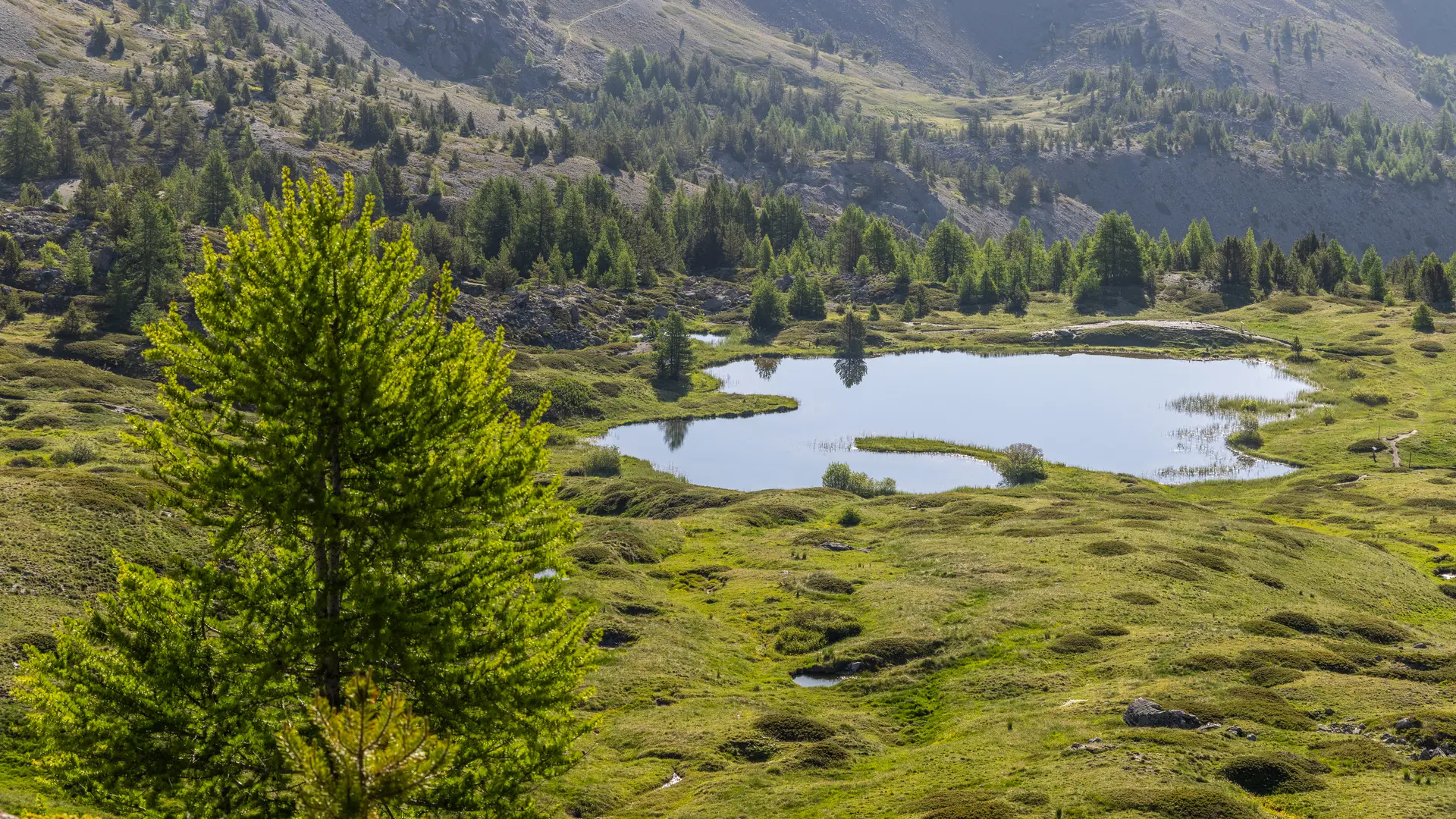
The trail is well-marked and rises on a medium gradient through grassland, moorland and wetlands (stream banks) for around 1.8 km.
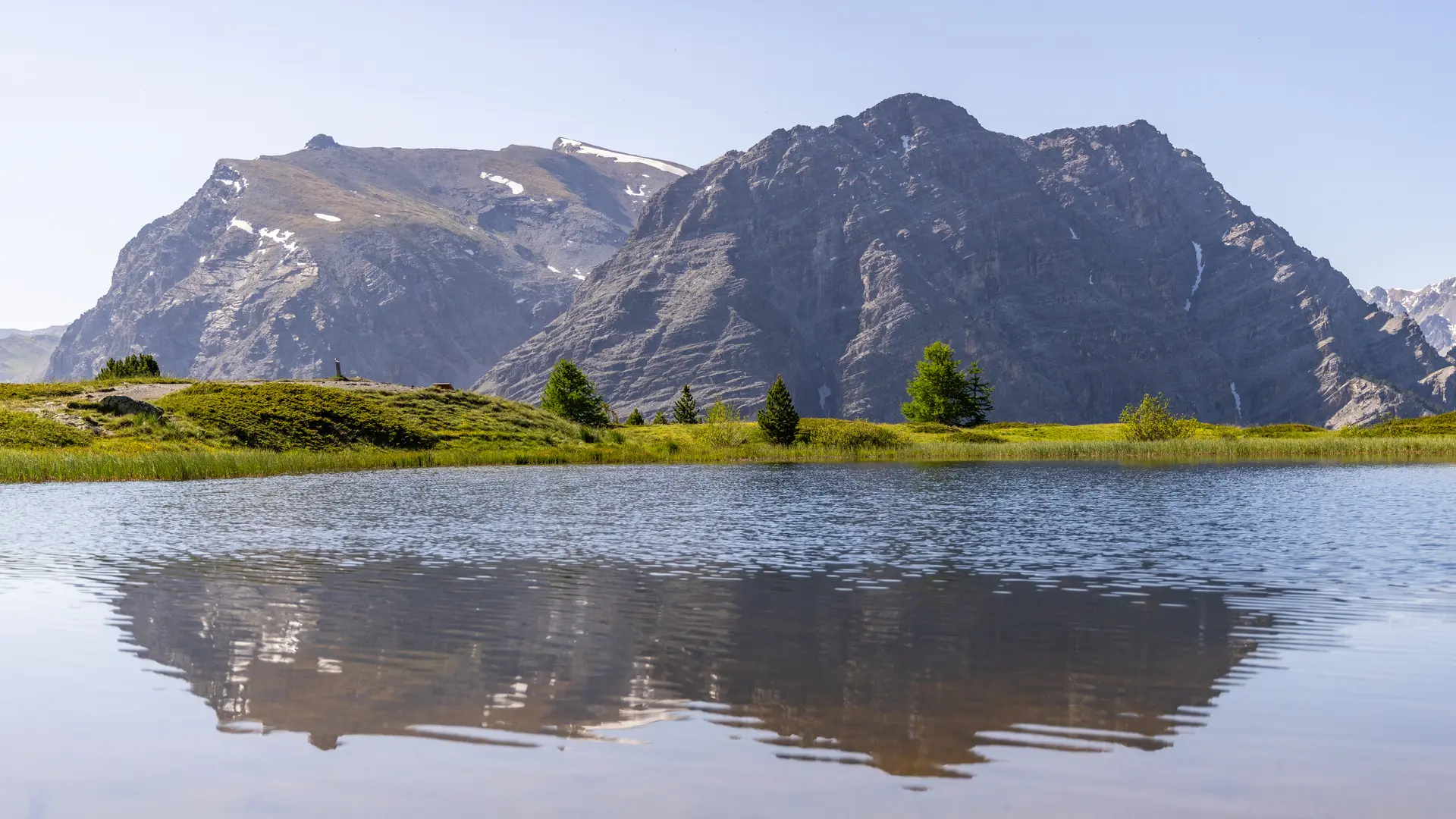
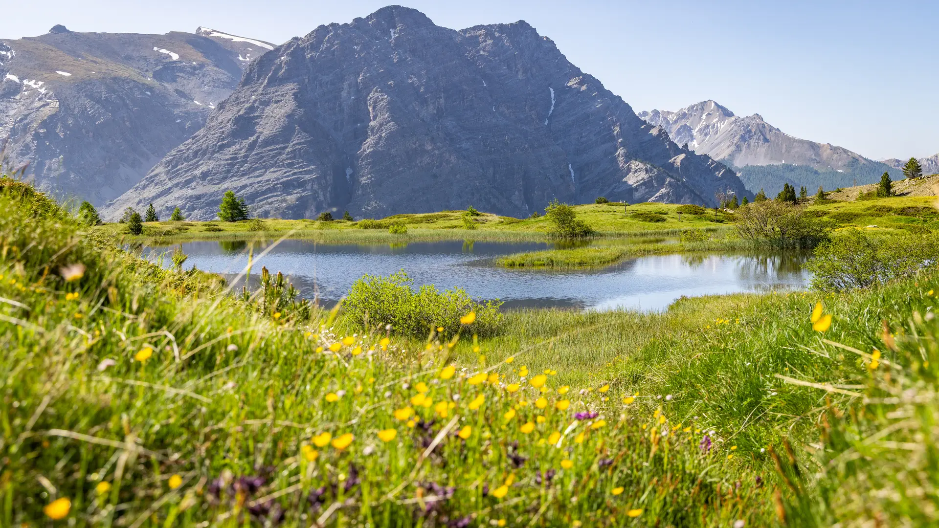
At the fork in the road, continue straight on towards Lac des Sarailles, a few winding bends over 300 metres to reach the lake.
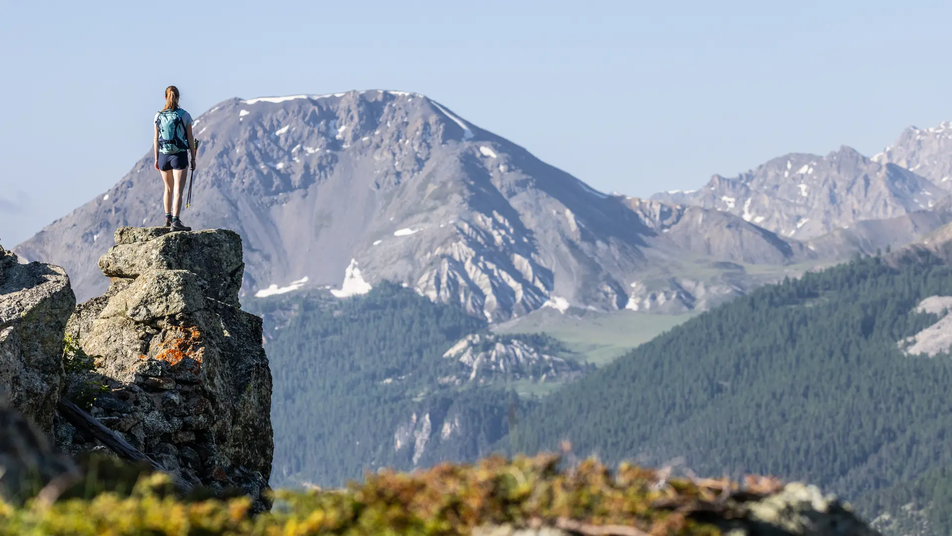
The return journey takes the same route, but there are several variations via Lac Noir and Lac Gignoux.
These different areas demonstrate the exceptional richness of the site, making it a remarkable natural heritage to be preserved.
This route borders on the Rochebrune - Izoard - Vallée de la Cerveyrette Natura 2000 site. Although it is not part of this site, it is essential to preserve it by staying on the trails.
This itinerary borders on the Rochebrune - Izoard - Vallée de la Cerveyrette Natura 2000 site. Although the route is not on a listed site, it is essential to preserve it by staying on the trails.
Read more