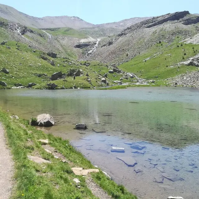
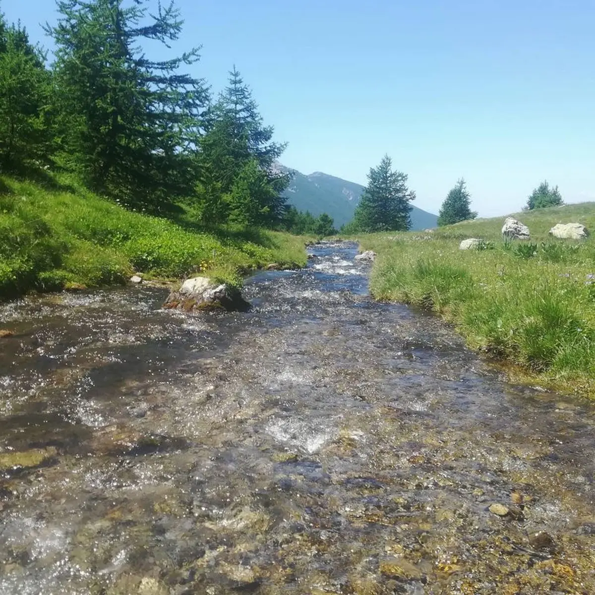
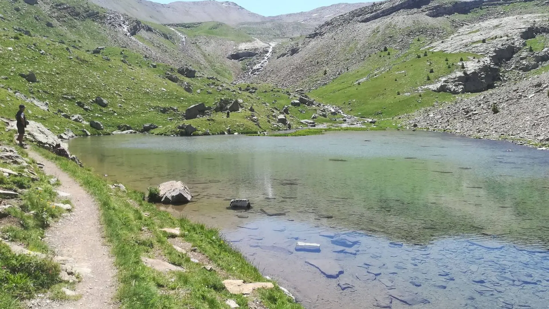
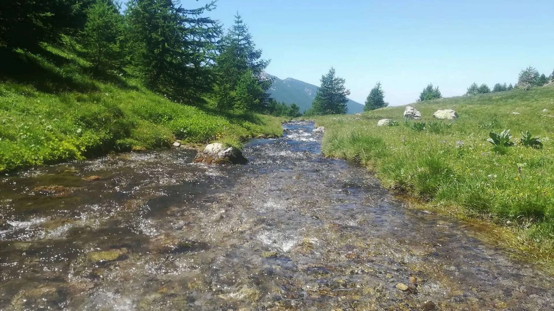
The waterfall opens onto the valley of Le Crachet, with its lively mountain stream, before flowing into the Lac du Crachet.
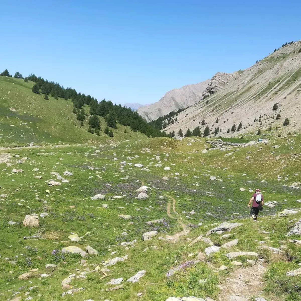
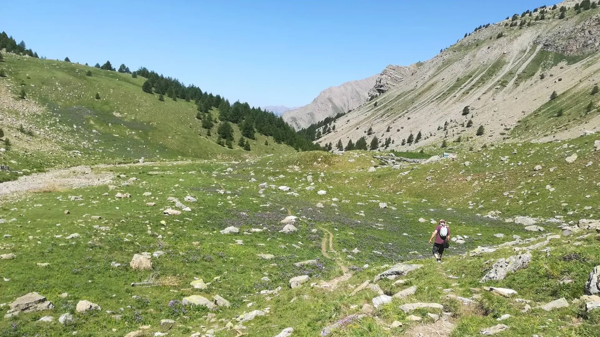
The route winds uphill, first running along a farm track and then a path. As you ascend, in the distance you will be able to see the entire valley of Crévoux as well as the Razis waterfall which is a unique sight. After the winding section, as you leave the forest take the time to admire the Le Crachet waterfall which is fed by the mountain stream you are going to follow. From here, you will come to the vast valley brimming with landscape features, leading to the Lac du Crachet.
Medium
Read more
Tips
Dependant upon snow melt, the Lac du Crachet is not fed with water all year round.