See photos (6)

Lac Lavoir

Sport, Pedestrian sports, Hiking itinerary in Névache
11.2 km
4h
Medium
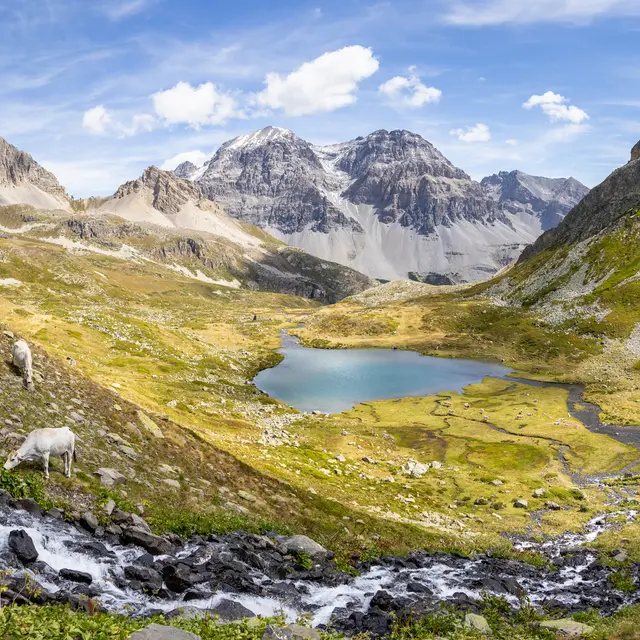
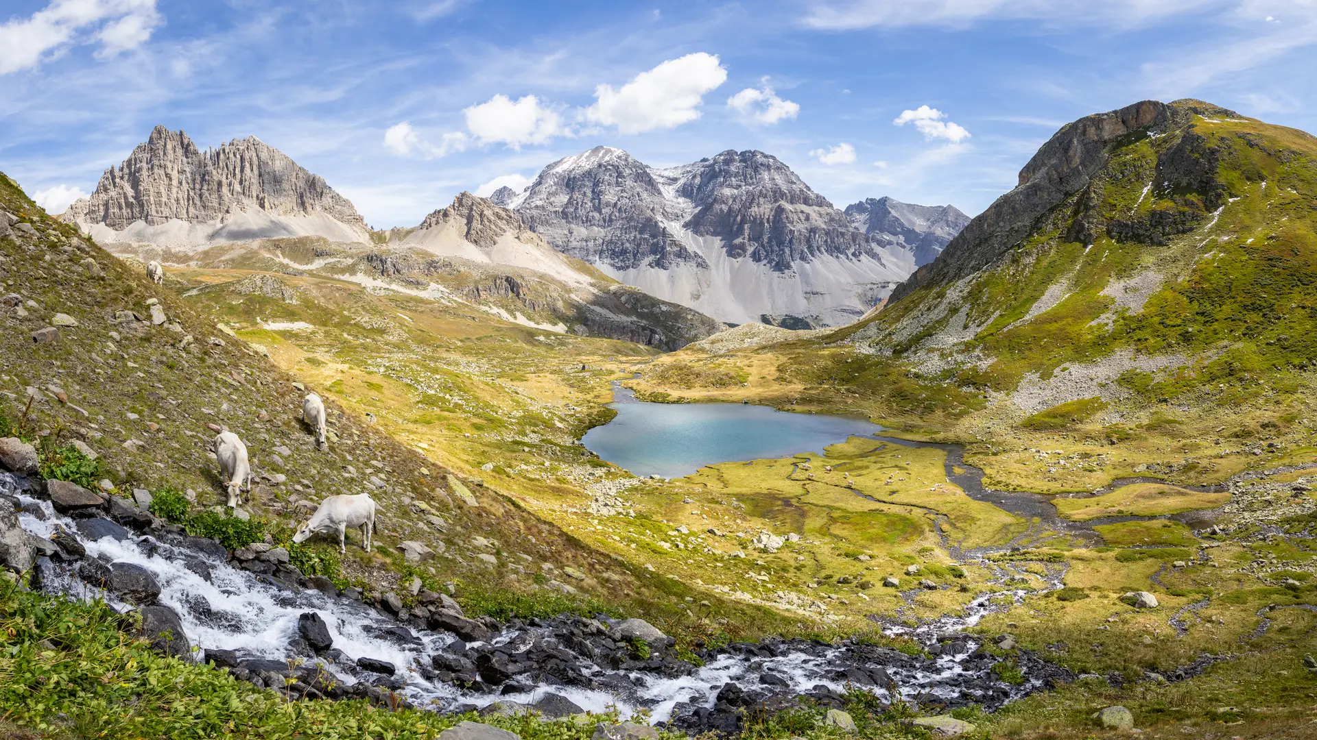
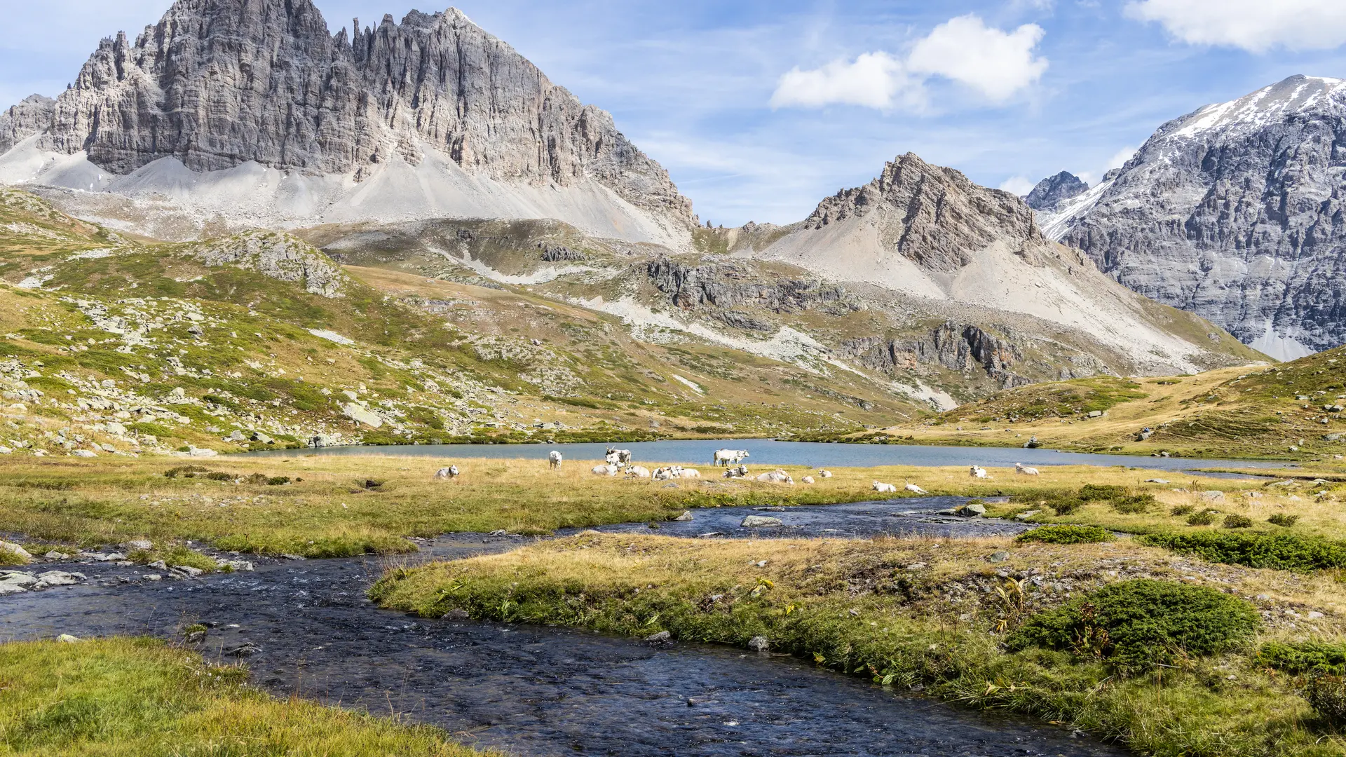
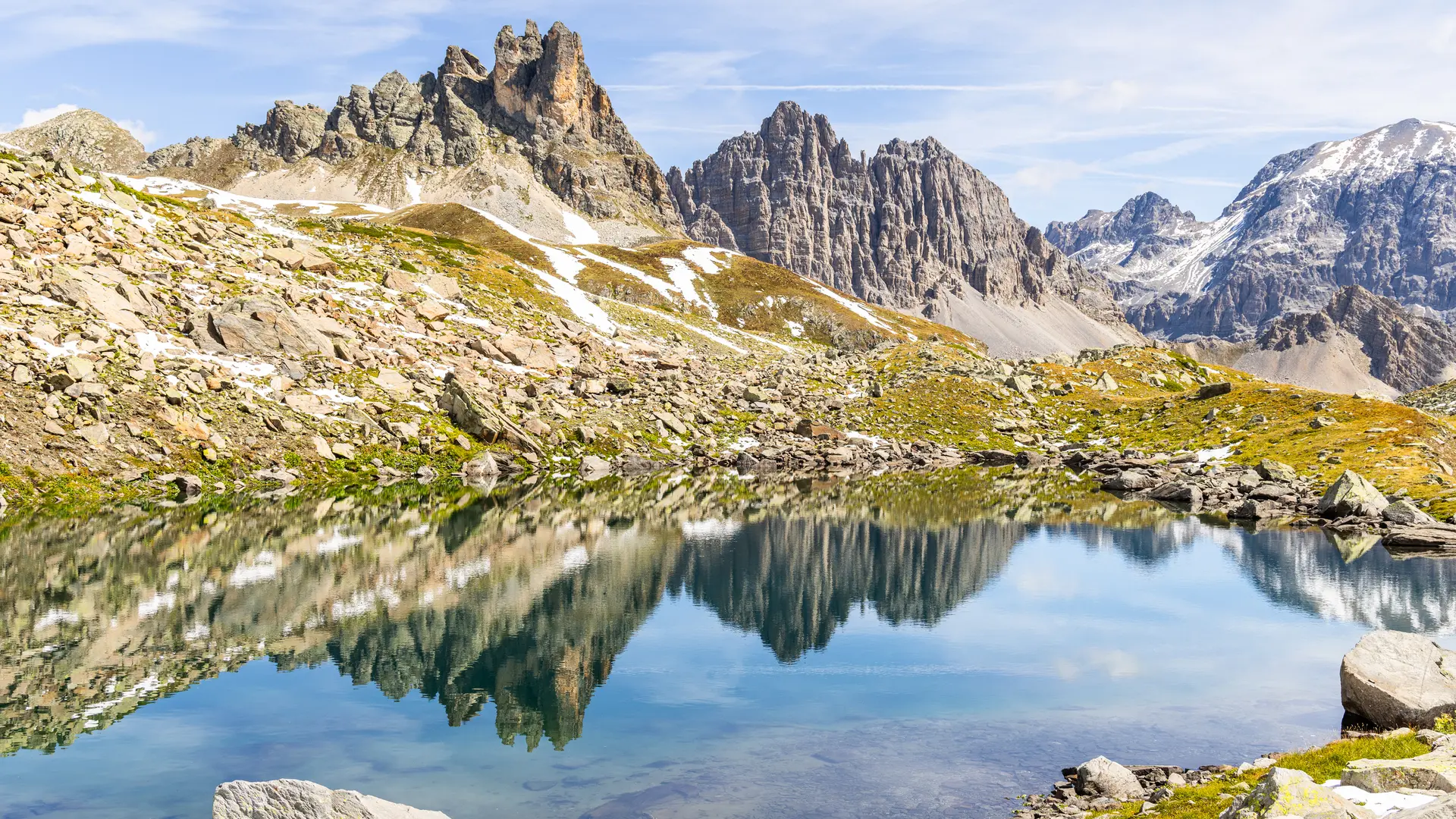
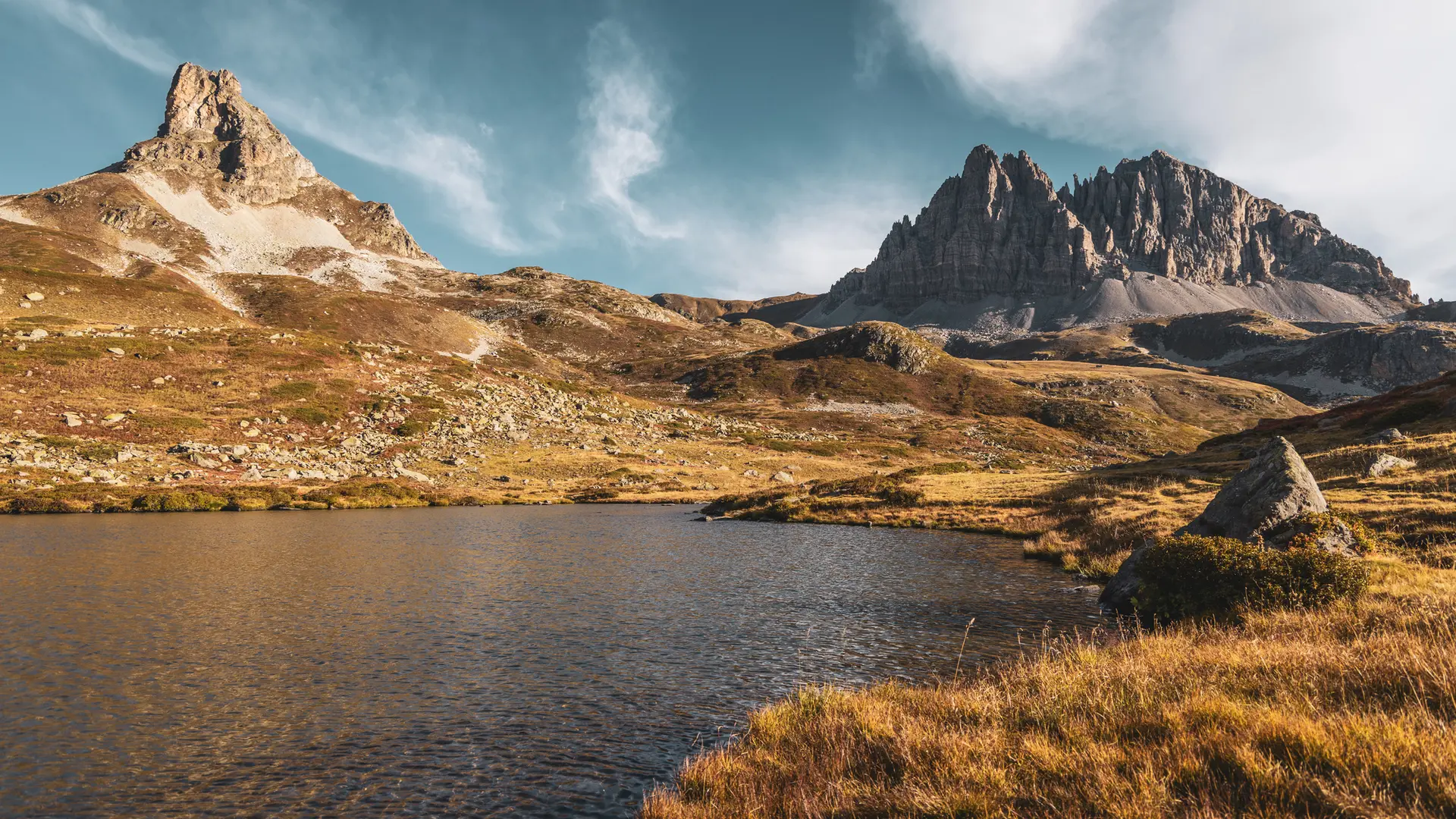
  • This relatively easy itinerary leads to Lac Lavoir, nestled at the foot of Mont Thabor and facing Petit and Grand Séru . The Vallée Étroite, once Italian, is stunning for its rich landscapes and unspoilt biodiversity.

  • Take the wide track through the typical Italian-sounding hamlet of Granges de la Vallée Étroite: this is the route of the GR57 Tour de la Haute Clarée and the GR5. Continue along this track for around 2km until you come to a fork in the road: turn left towards Mont Thabor and the Maison des Chamois, which can be seen at the top of the path.

    (The right-hand track leads to the Col de la Vallée Étroite, Refuge du Mont Thabor and on to Modane).

    Join the Maison des Chamois on a dry ascent....
    Take the wide track through the typical Italian-sounding hamlet of Granges de la Vallée Étroite: this is the route of the GR57 Tour de la Haute Clarée and the GR5. Continue along this track for around 2km until you come to a fork in the road: turn left towards Mont Thabor and the Maison des Chamois, which can be seen at the top of the path.

    (The right-hand track leads to the Col de la Vallée Étroite, Refuge du Mont Thabor and on to Modane).

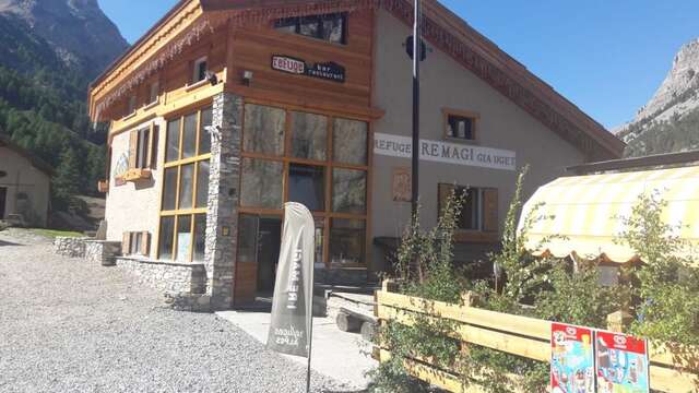
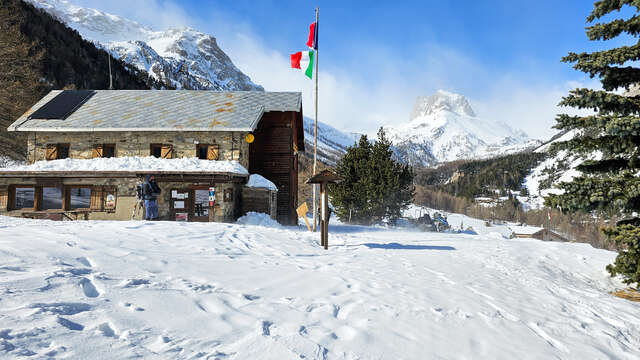
    Join the Maison des Chamois on a dry ascent. The crossroads near the Maison des Chamois is a bit jumbled, with many forks. Continue on the wide track passing just in front of the Maison des Chamois, which then runs alongside the torrent (here you can see two paths overhanging the torrent, both leading to the Prat du Plan footbridge, which crosses the torrent).

    Once at the footbridge: do not cross the footbridge, but take the small path on the left just before it. Leave the track and start the last climb on the right bank of the torrent, reaching the Lac Lavoir weir.

    Return by the same route.
  • Departure
    Névache
  • Difference in height
    577.612 m
  • Plain text period
    All year round daily.
  • Environment
    • Mountain location
    • Presence of livestock and guard dogs
  • Documentation
    GPX / KML files allow you to export the trail of your hike to your GPS (or other navigation tool)
  • Accepted customers
    • Walkers/hikers
    • Level bue - Medium
578 meters of difference in height
  • Maximum altitude : 2268 m
  • Minimum altitude : 1755 m
  • Total positive elevation : 578 m
  • Total negative elevation : -578 m
  • Max positive elevation : 305 m
  • Min positive elevation : -319 m
Services
  • Services
    • Pets welcome
      • Pets are welcome, but we strongly advise you to keep your dogs on a leash (presence of herds and wildlife).