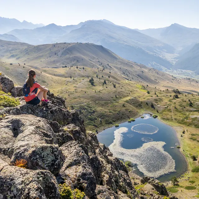
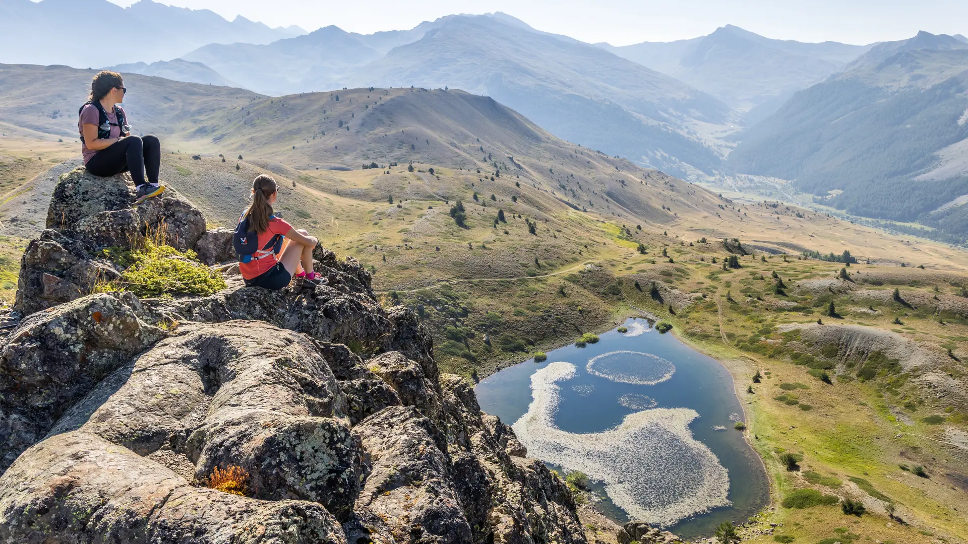
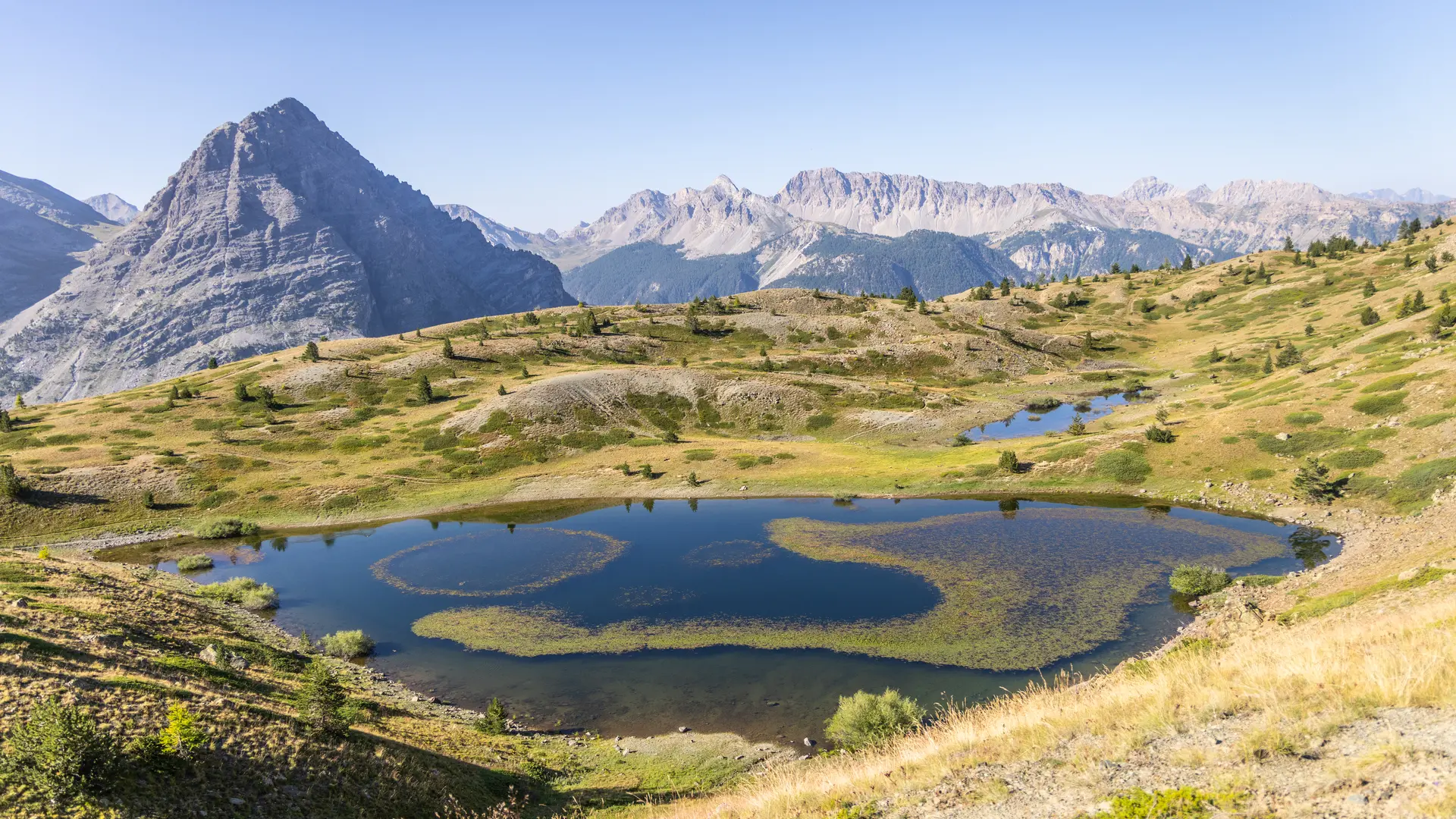
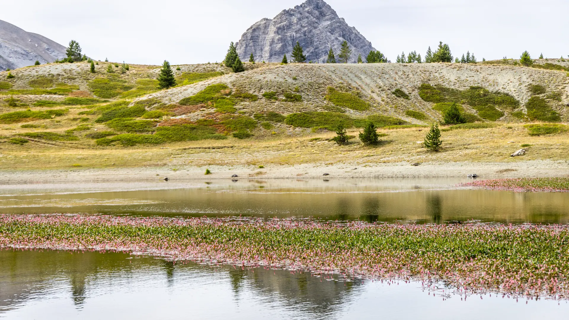
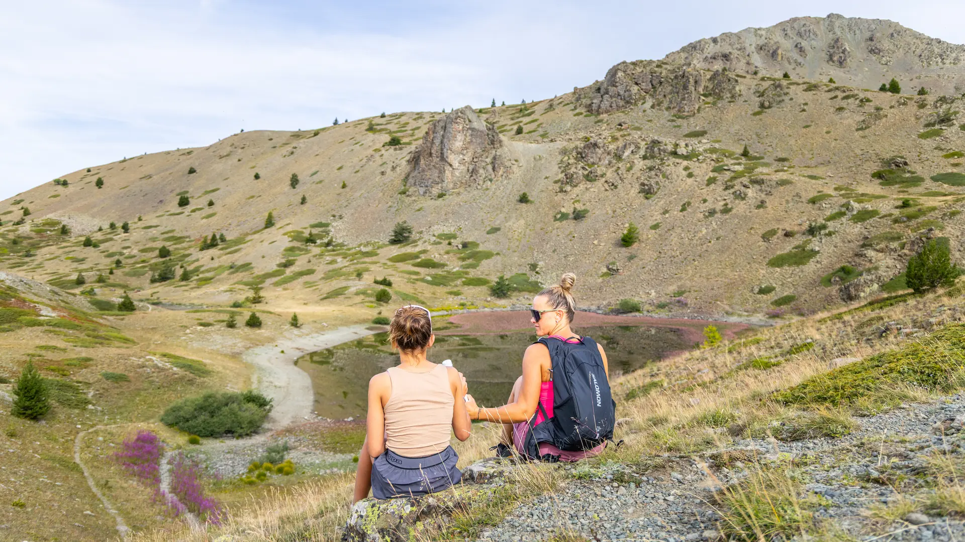
Of the old glacial lake of the plain of Bourget, there is only a flat bottom and a bolt in of curious green rocks
Hiking N°38 of the guide " 52 balades à raquettes dans le briançonnais " of J.L Charton Editions D.Richard
Join the Cerveyrette valley via the D89T, then park at the parking lot after the Mur des Aittes car park, giving access to the old Chau farms.
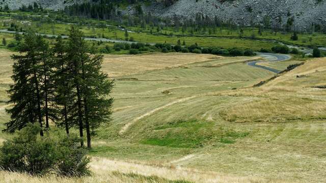
Follow the wide driveway through the chalets, then just after the chapel, take the path on the left that rises towards the Fraches sheepfold. The path follows the Fraches torrent up to the imposing sheepfold.
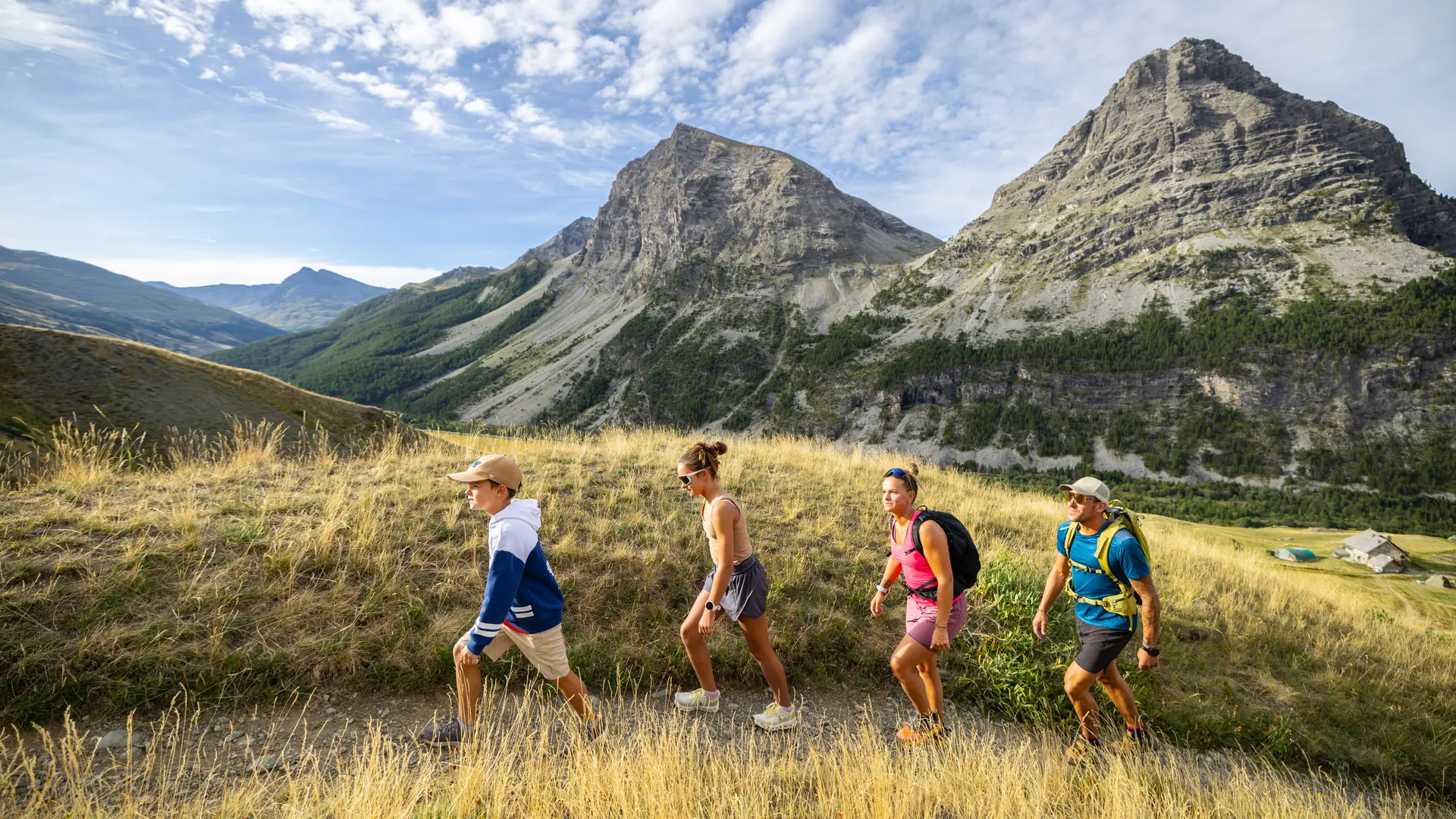
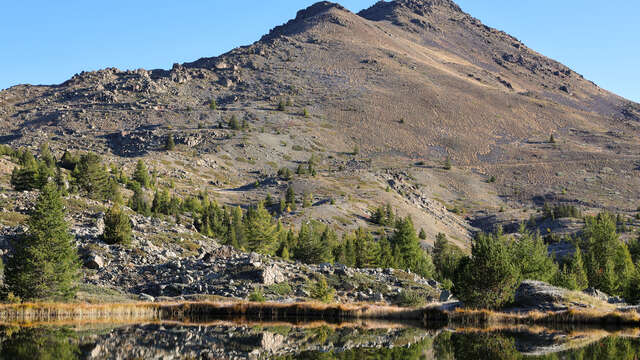
The Marais plain stretches out before your eyes, while the imposing Lasseron summit looms large in front of you.
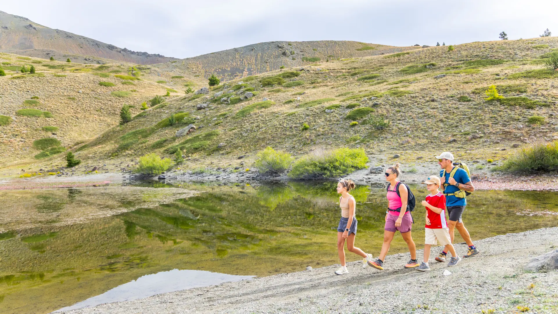
The trail continues north towards the summit of Grand Charvia, which overlooks the cirque. The route alternates bumps and gentle slopes. We come to a fork in the path marking the arrival at the lake.
The return journey takes the same route, but a variant is possible via Lac des Sarailles.
This itinerary borders on the Rochebrune - Izoard - Vallée de la Cerveyrette Natura 2000 site. Although the route is not on a listed site, it is essential to preserve the site by staying on the trails.