From the Roubion parking lot, take the road up towards the heart of the hamlet, then turn left towards "Champ Bellet" (ski lift in winter).
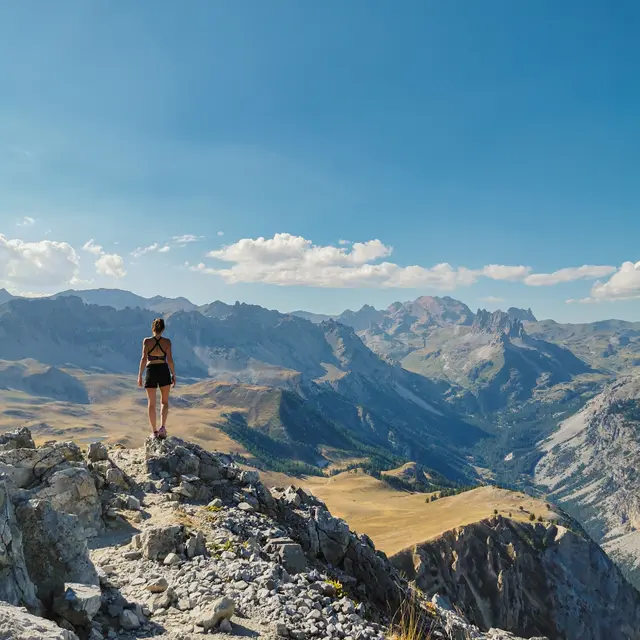
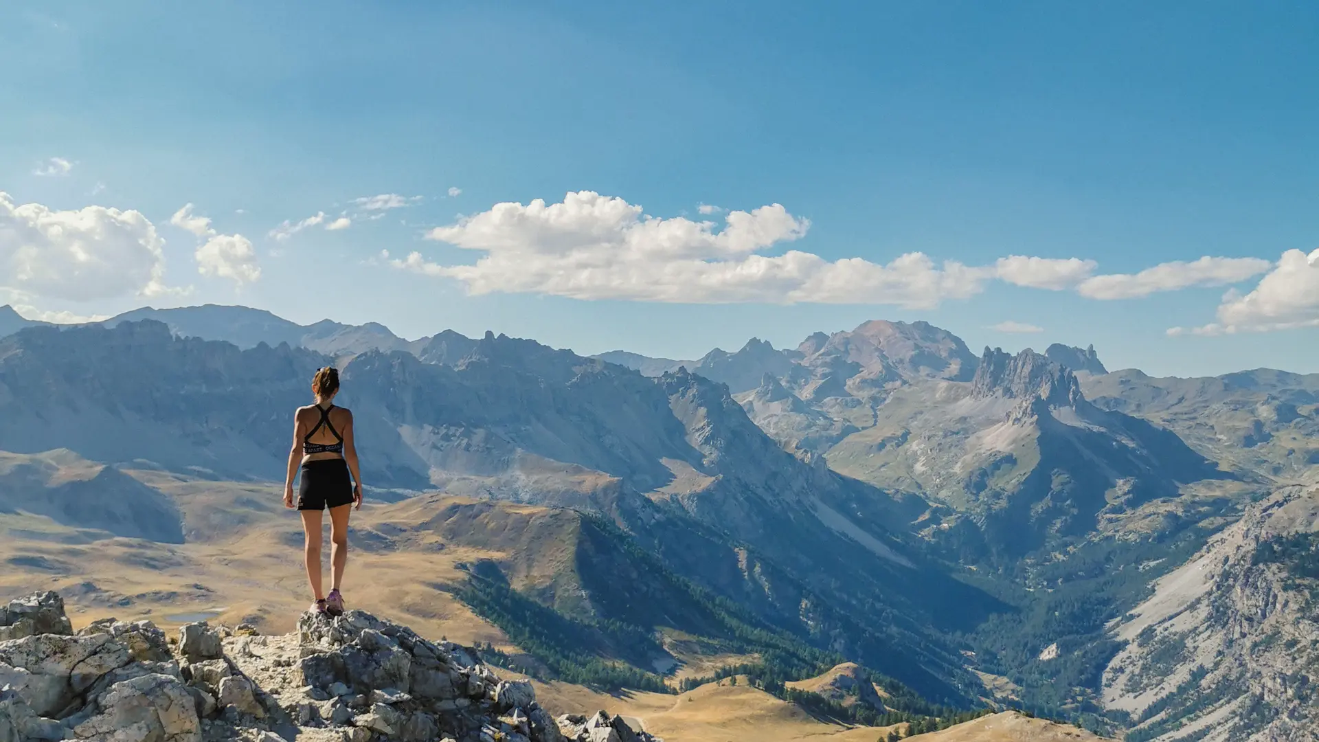
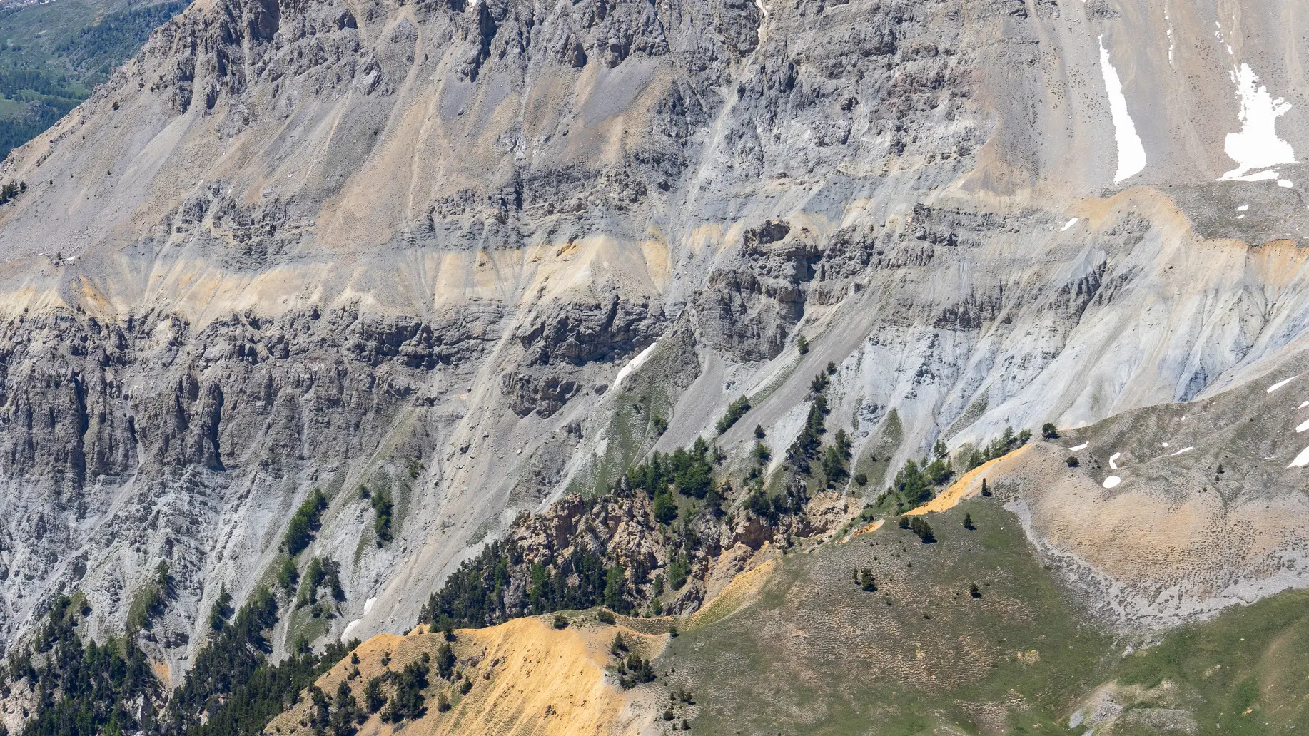
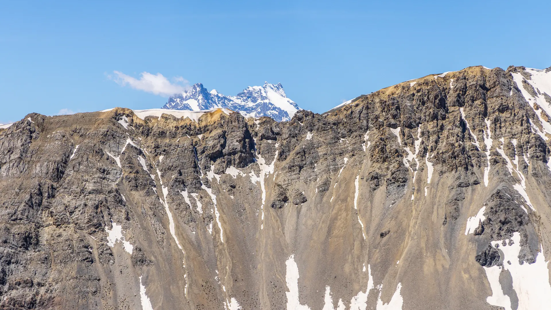
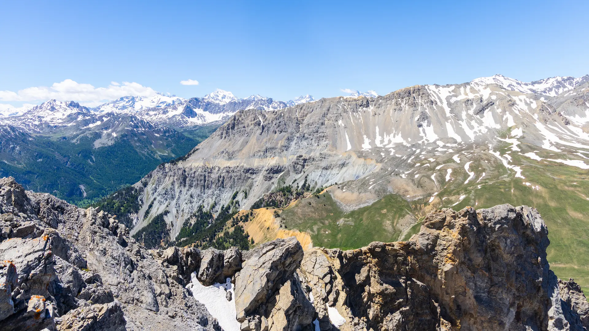
Continue on the GR5-GR57, passing the forest hut and the "demoiselles coiffées", until you reach the Thures plateau. Take the GR5B-GR57 intersection to the summit of Aiguille Rouge.
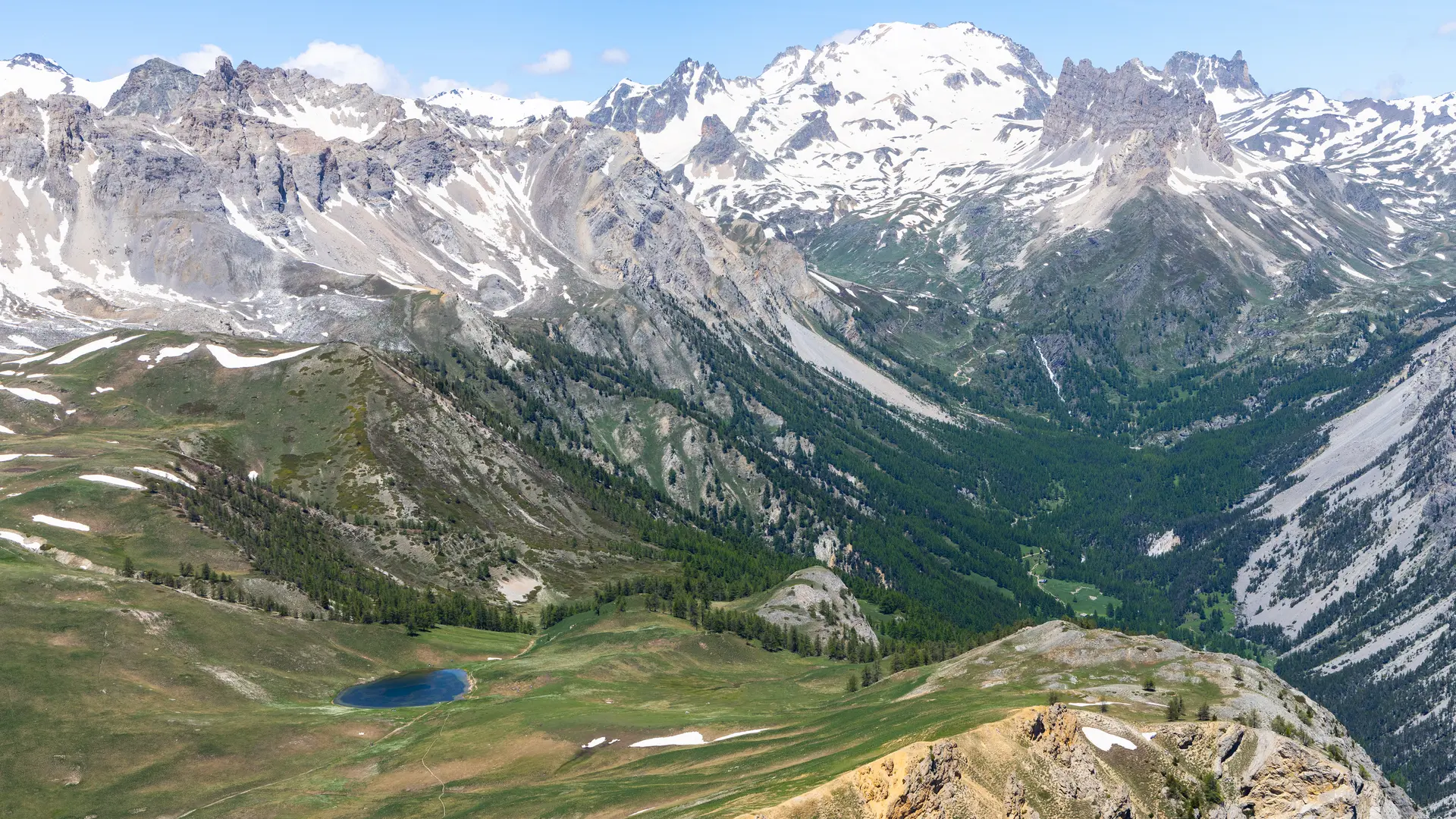
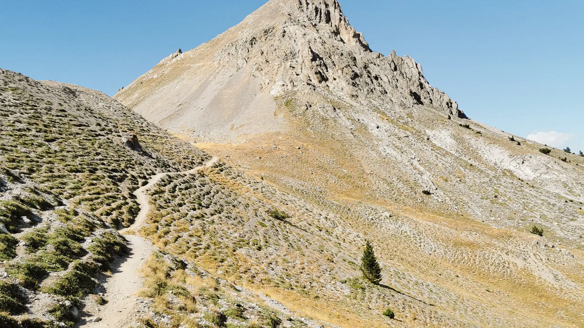
For the return journey, follow the same path downhill for about 1.5 km to the junction with the GR5B-GR57, but instead of turning right, turn left onto a pretty path that descends into the forest.
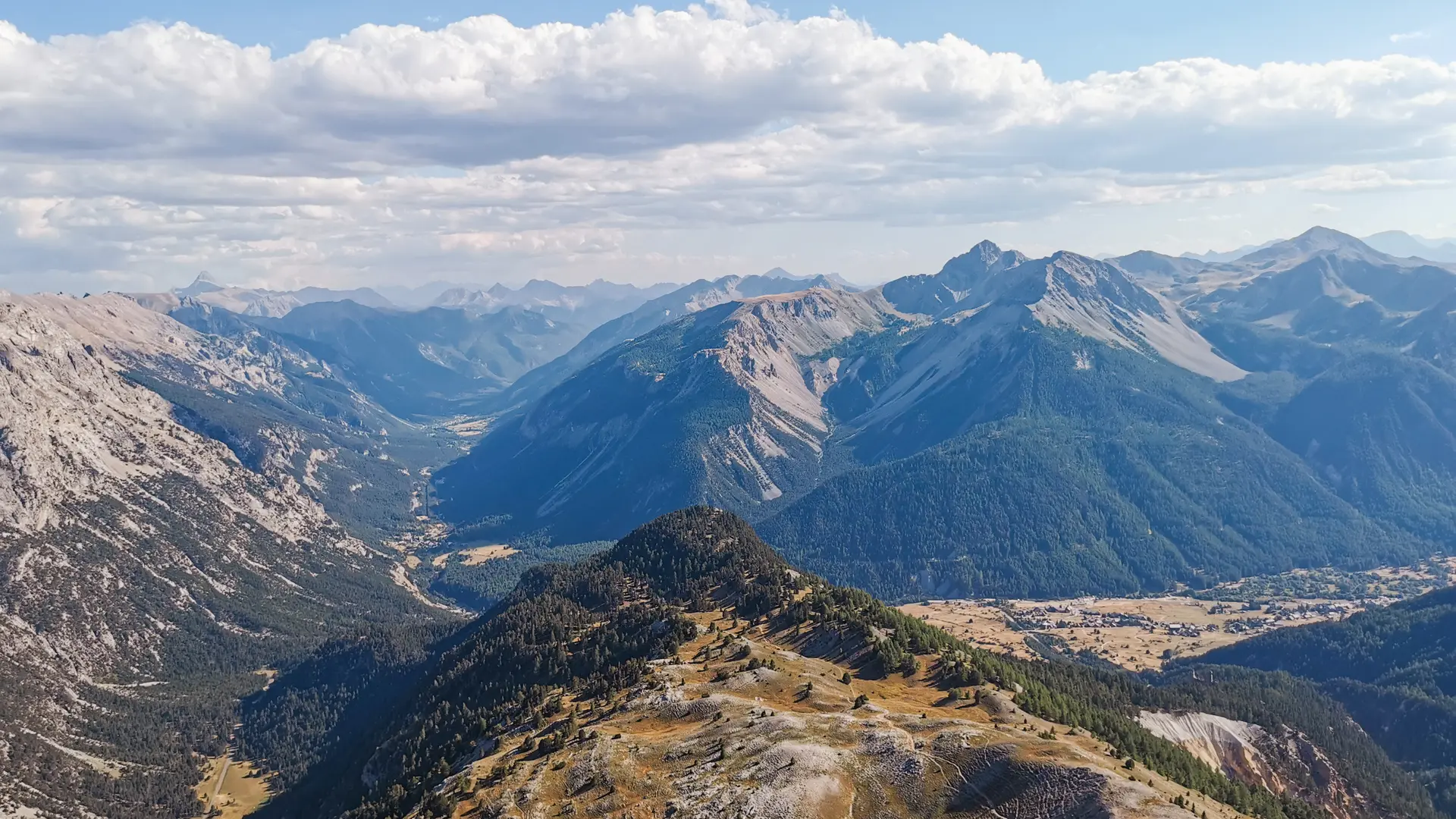
Follow Bois de Saint Hippolyte/Notre Dame de Bon Rencontre. Once at the chapel, follow the Col de l'Echelle asphalt road (watch out for traffic) for about 1 km, then leave it and continue straight on at Combe Saint Martin, a wide path leading to Pont Robichet, cross it and, once you reach the asphalt road, turn left and go back down to the Roubion parking lot.
Read more